Vancouver Island, B.C., Canada 8-day RV Trip
Day 3, May 27, 2025
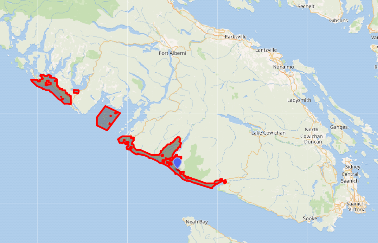
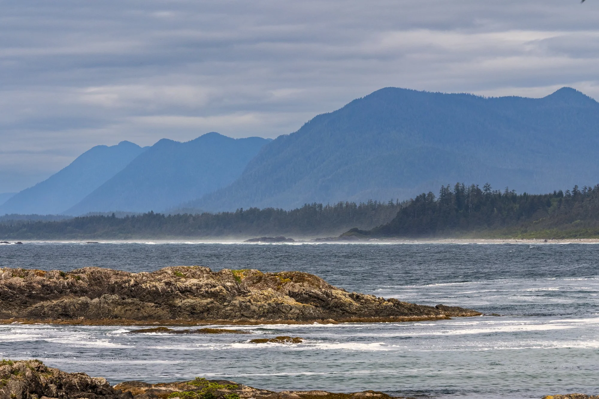
Pacific Rim National Park Reserve
Pacific Rim National Park Reserve is a 197 square miles national park located on the Pacific Coast of the Vancouver Island. The landscape of the park includes many habitats: ocean, rainforest, bog, mudflat, and even small patches of sand dunes.
The recreational potential of Long Beach was known and idea of establishing a national park was put forward by the Canadian National Park Association in 1929. In 1959, the provincial government opened both the Wickaninnish Beach Provincial Park and Highway 4 from Tofino to Port Alberni. The provincial park was transferred to the federal government in 1971 to form the core of the Long Beach Unit. The prince purchased also purchased or expropriated the private lands around the beach, along with the crown islands of the Broken Group Islands. In 1988 the West Coast Trail Unit was finally transferred to the federal government, and the park was formally included in the National Park Act in 2000. (Source: Wikipedia)
It comprises three separate regions:
Official website: https://parks.canada.ca/pn-np/bc/pacificrim
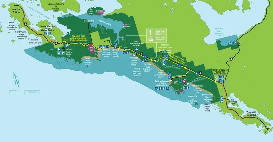
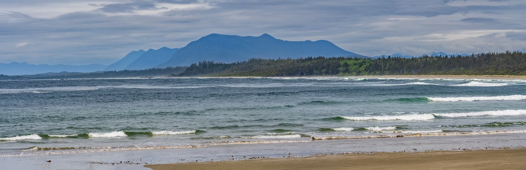
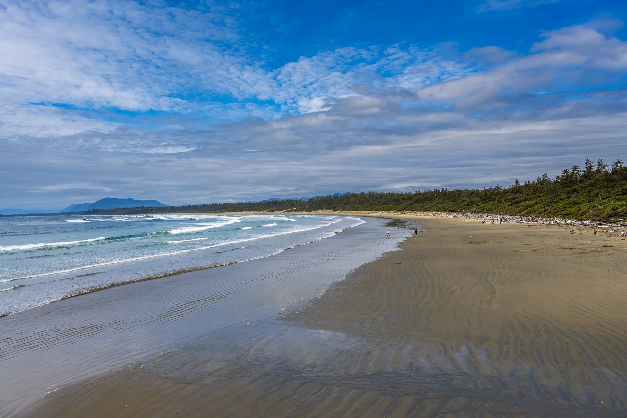
Long Beach
This is only section of the park that we visited during this trip. It stretches between Tofino and Ucluelet, from the south end of Cox Bay to Halfmoon Bay. It features beaches, including the longest beach of the park, and short beautiful trails. Hiking, surfing, and winter storm watching are popular activities in this area.
The Broken Group Islands
It is a 41 square miles area in the Barkley Sound with over one hundred small islands. The islands are only accessible by boat. Reservation to visit this are is mandatory. Anyone camping in this unit must have a backcountry camping permit, which is only available through the Park Canada Reservation System at a first come first serve basis.
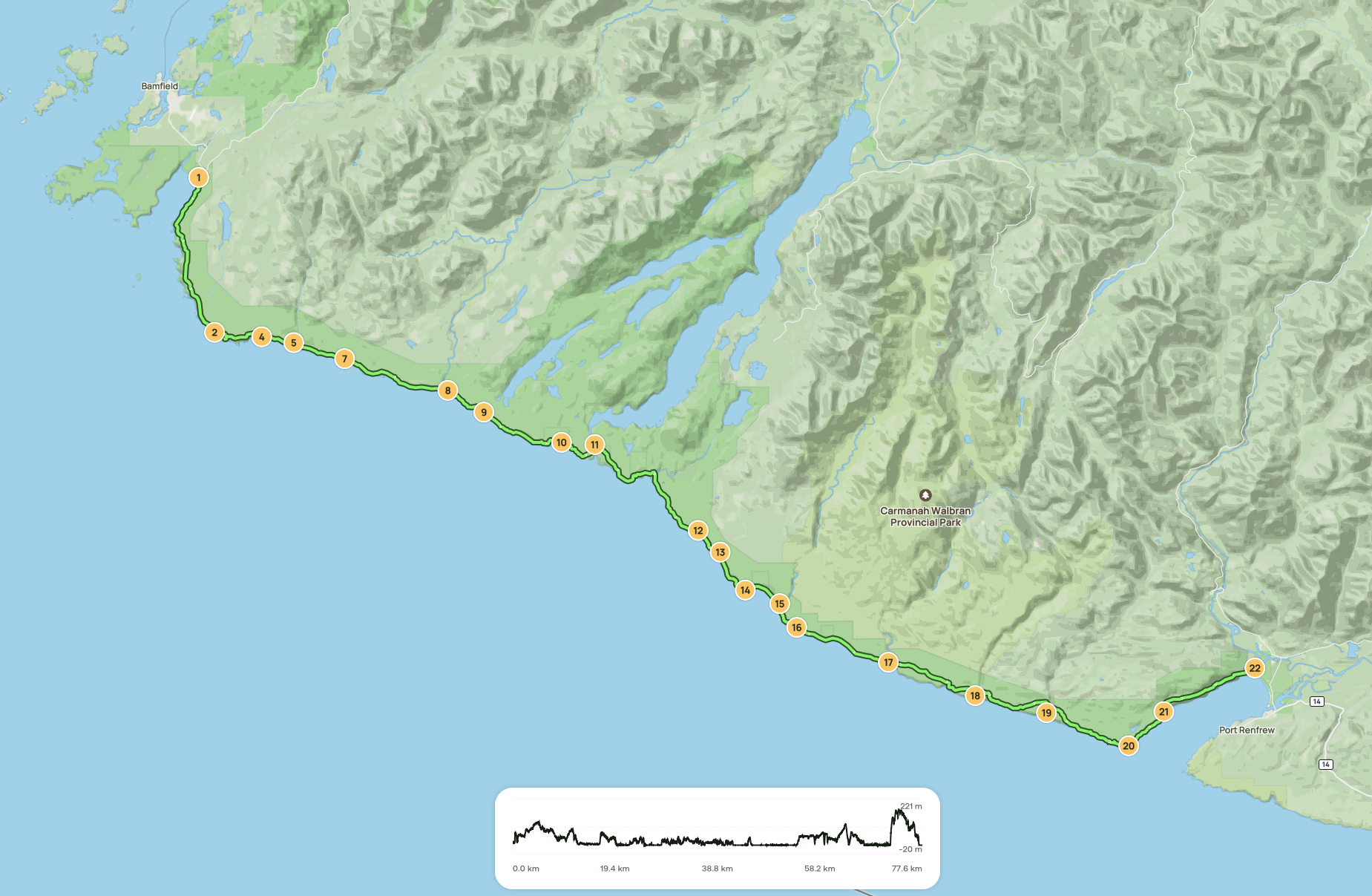
West Coast Trail
The West Coast Trail is a world-renowned 75 km point-to-point multi-day backpacking hiking trail winding through the traditional lands of the Huu-ay-aht, Ditidaht, and Pacheedaht First Nations. It hugs the coastline between Bamfield and Port Renfrew. Within the national park reserve, you'll find stunning features like the Cape Beale Headlands, Nitinaht Triangle, and the narrow path of the West Coast Trail itself, surrounded by ancient coastal forests. Backpackers from around the world hike this historic life-saving trail originally designed to aid shipwrecked mariners.
It is generally considered a challenging route. Hikers will climb steep ladders, contend with mud, slippery roots, river crossing, and push through unpredictable weather of wind or rain. The trail goes through forests, sandy and rocky beaches, rock pools and pass a variety of fauna and flora. The best times to visit are May through September.
Official website: https://parks.canada.ca/pn-np/bc/pacificrim
Map of Pacific Rim National Park Reserve
Map of West Cost Trail
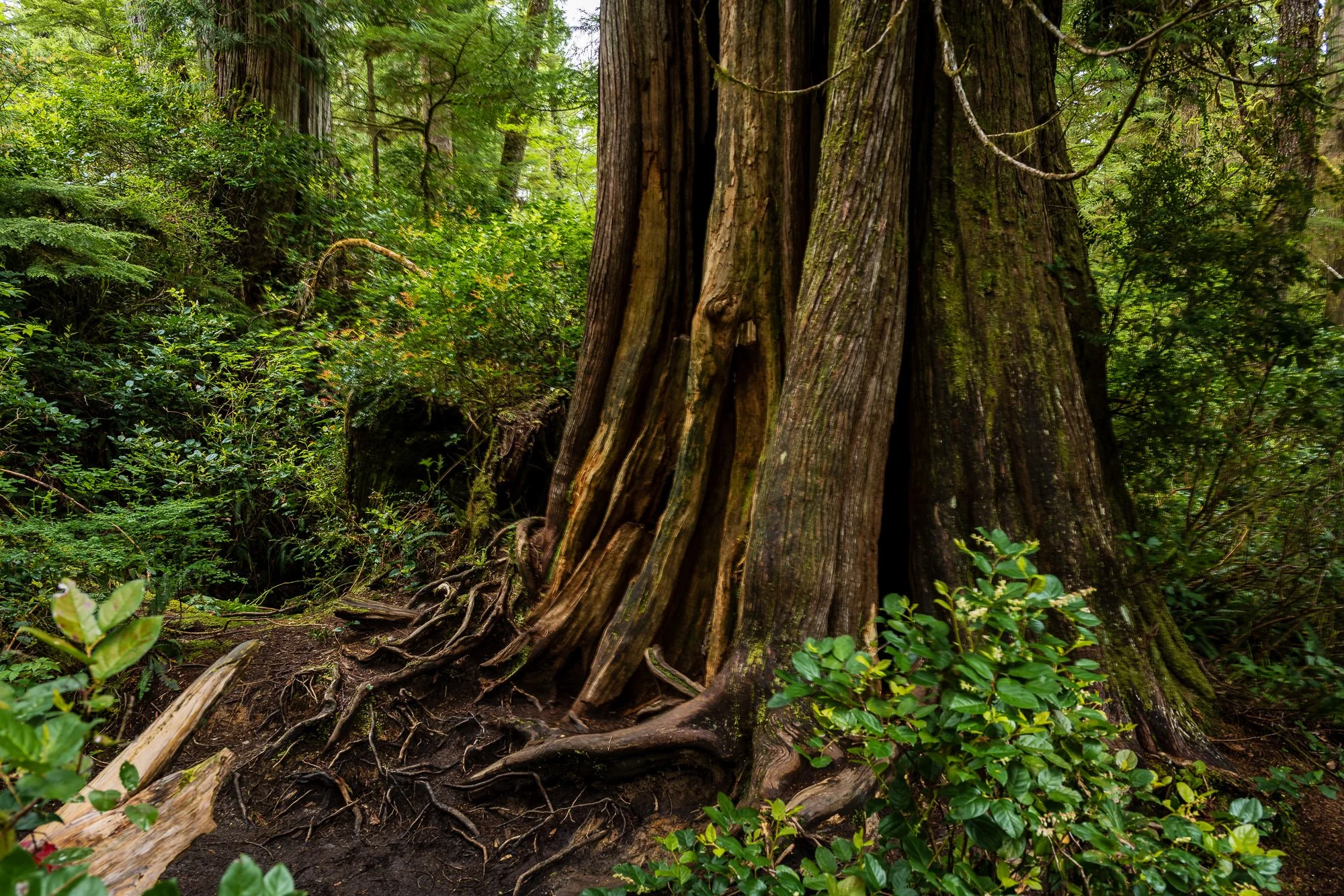
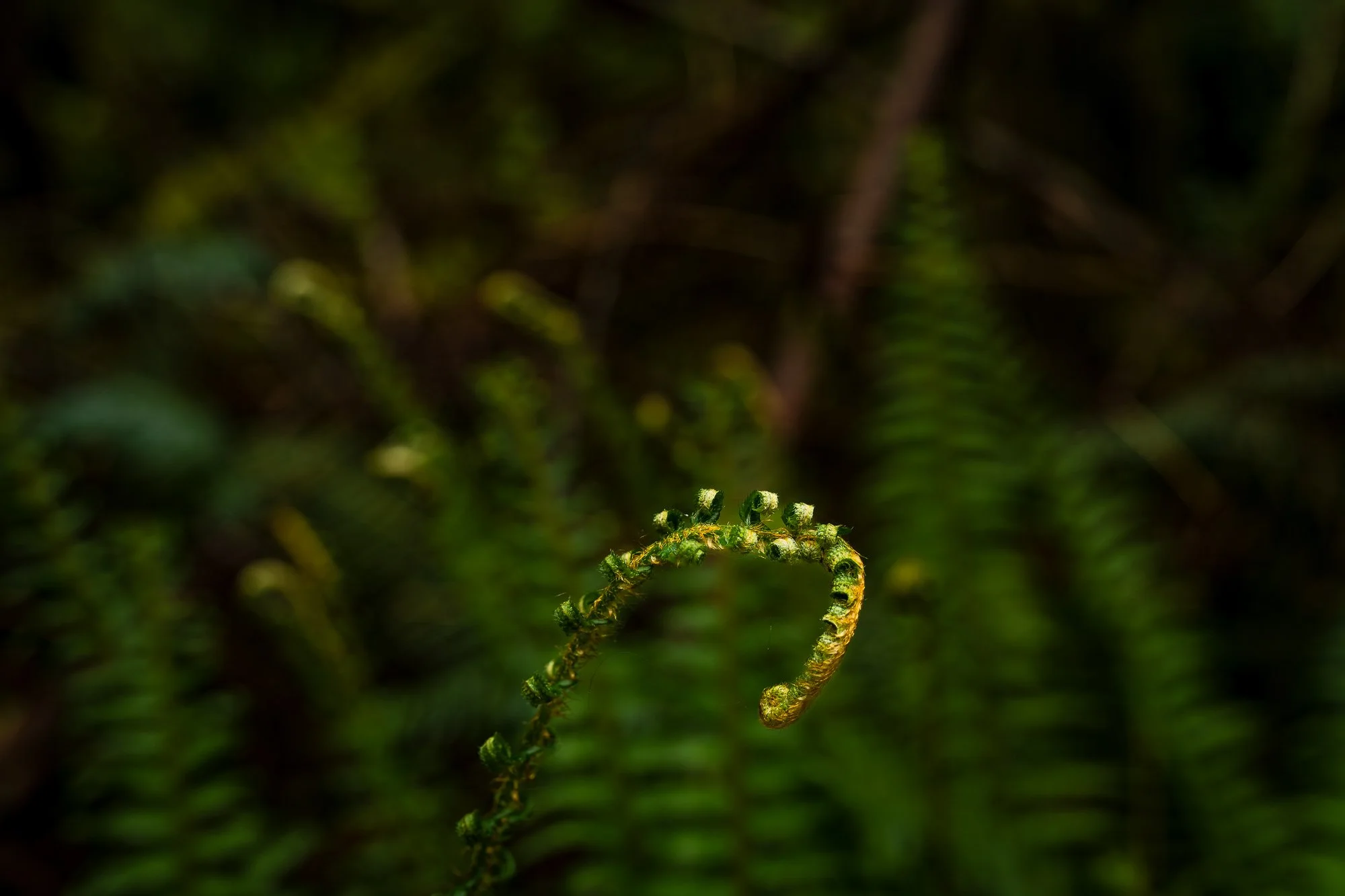
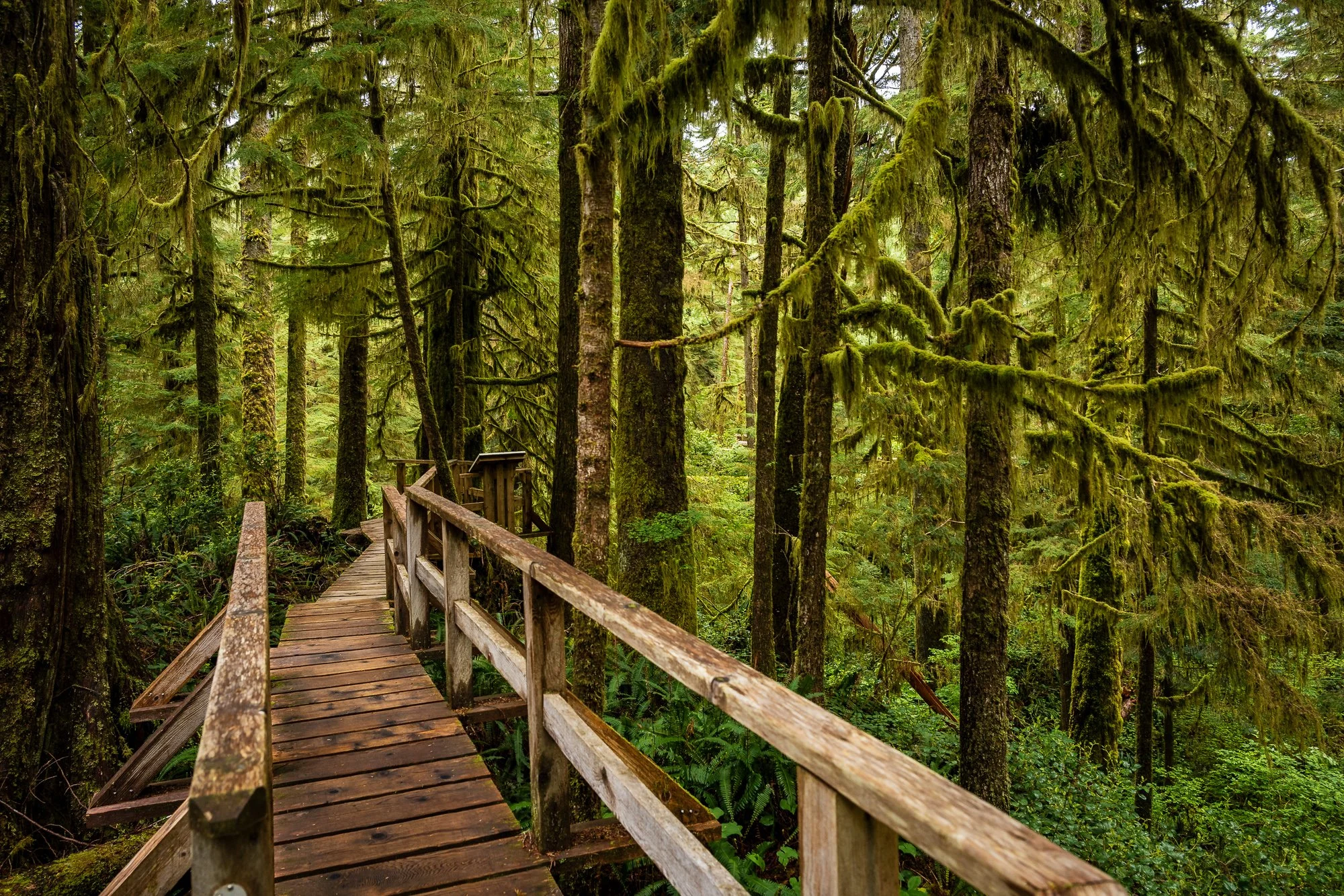
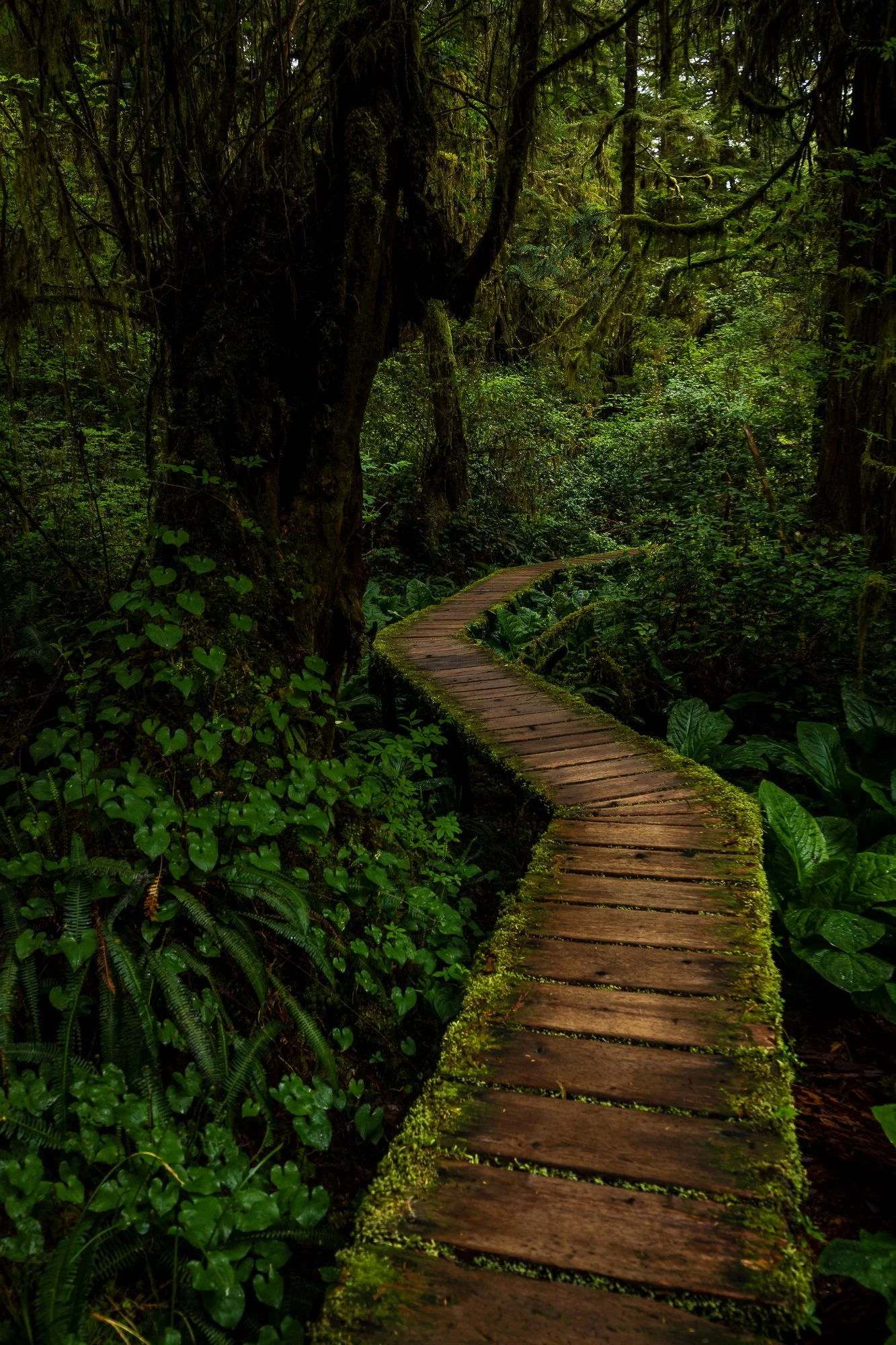
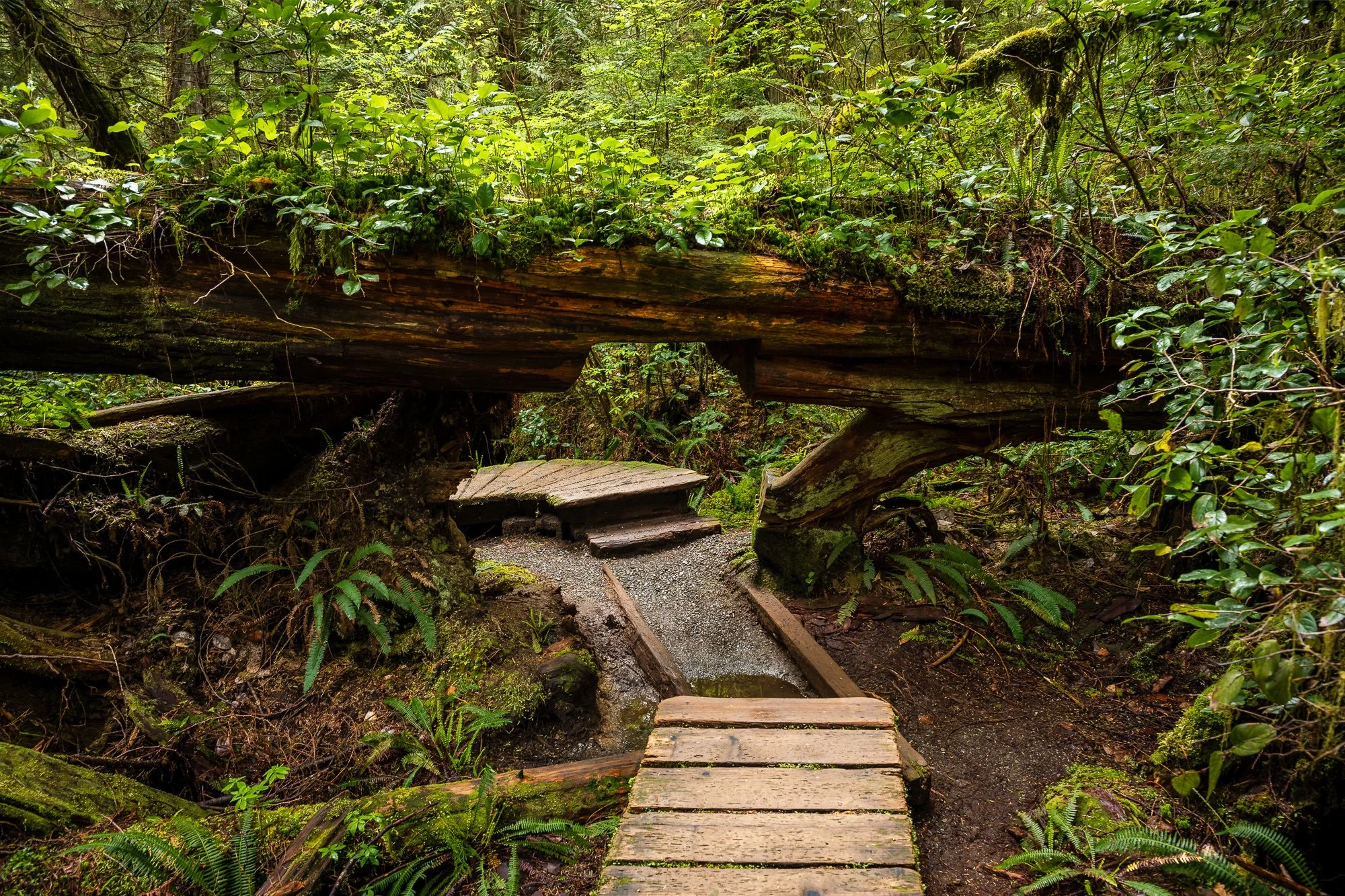
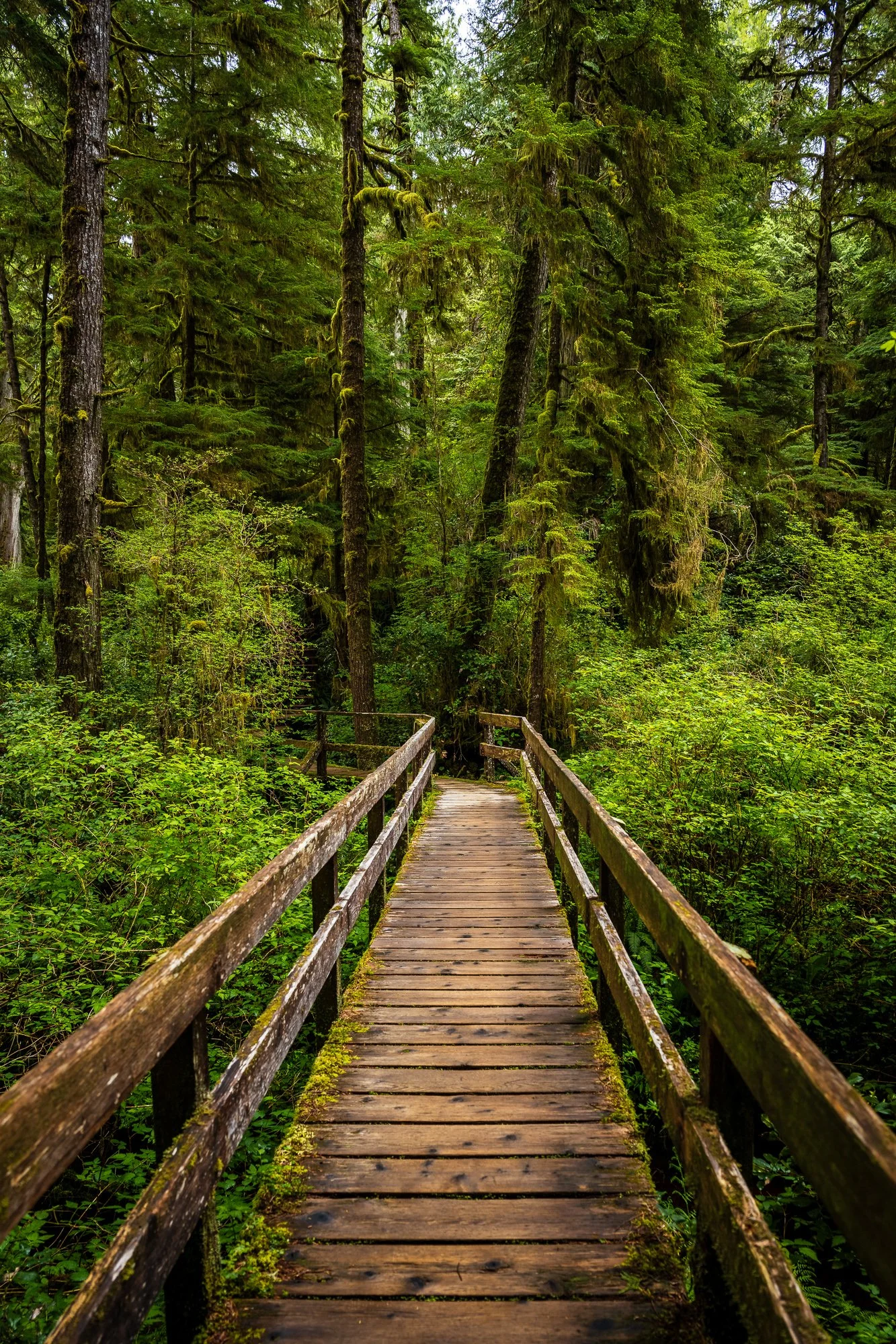
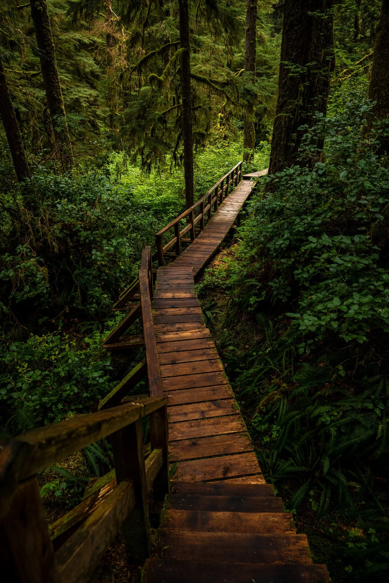
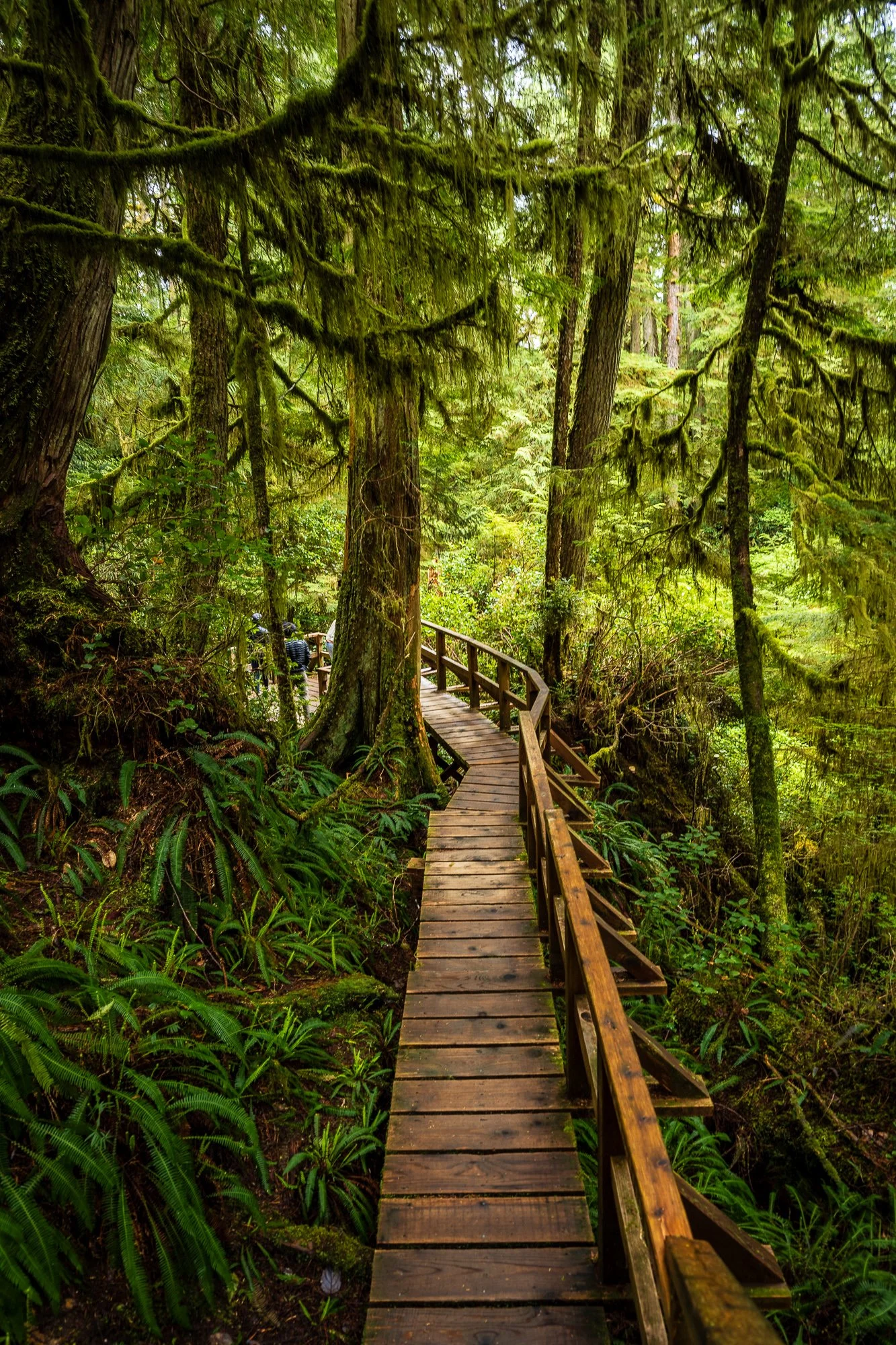
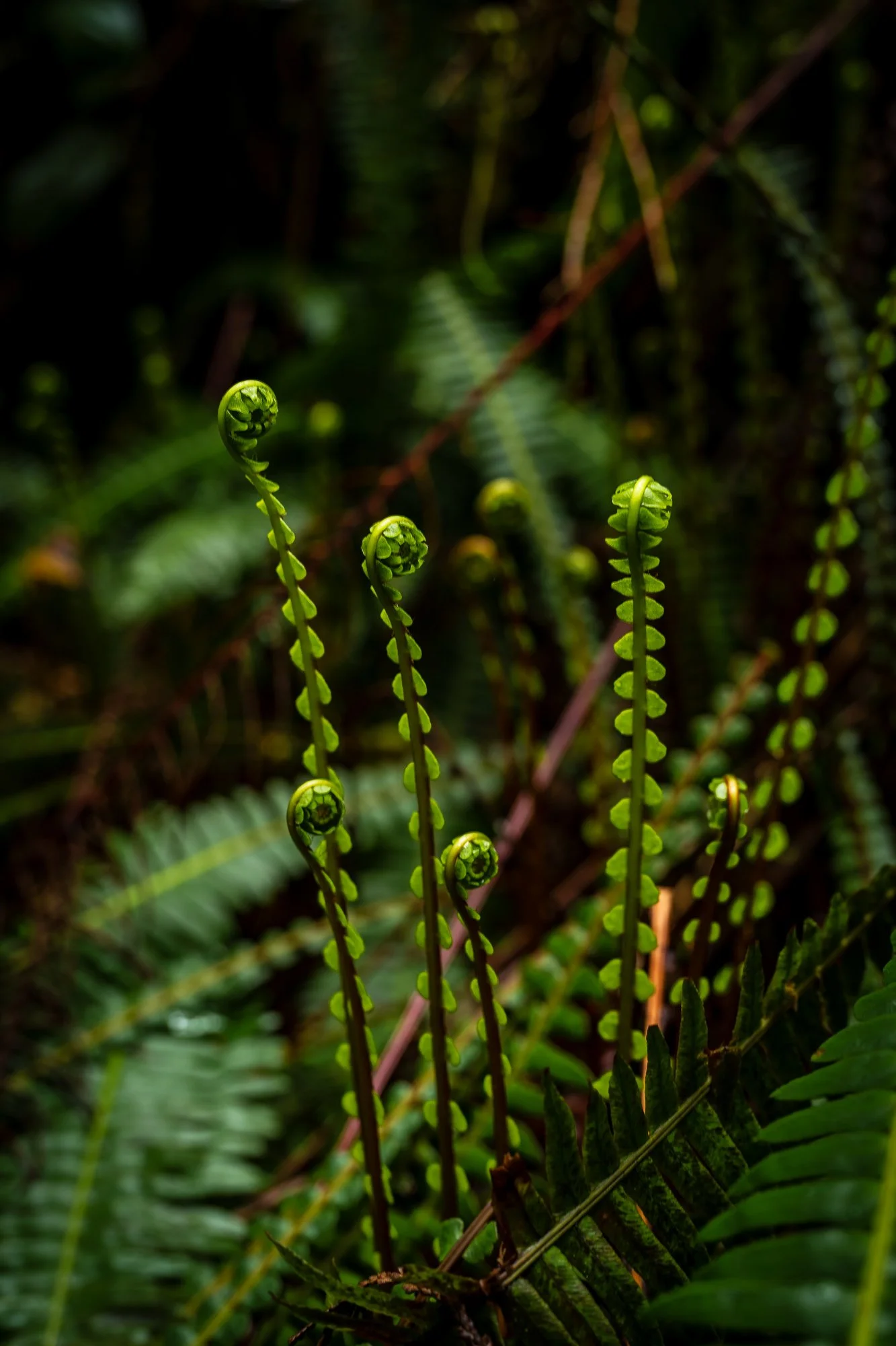
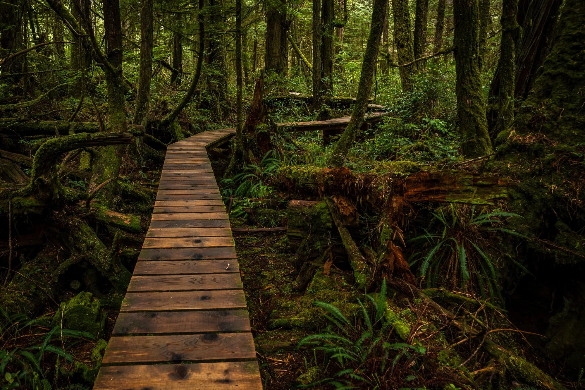
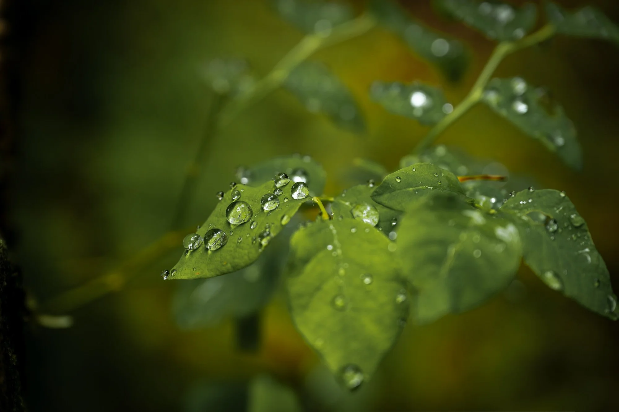
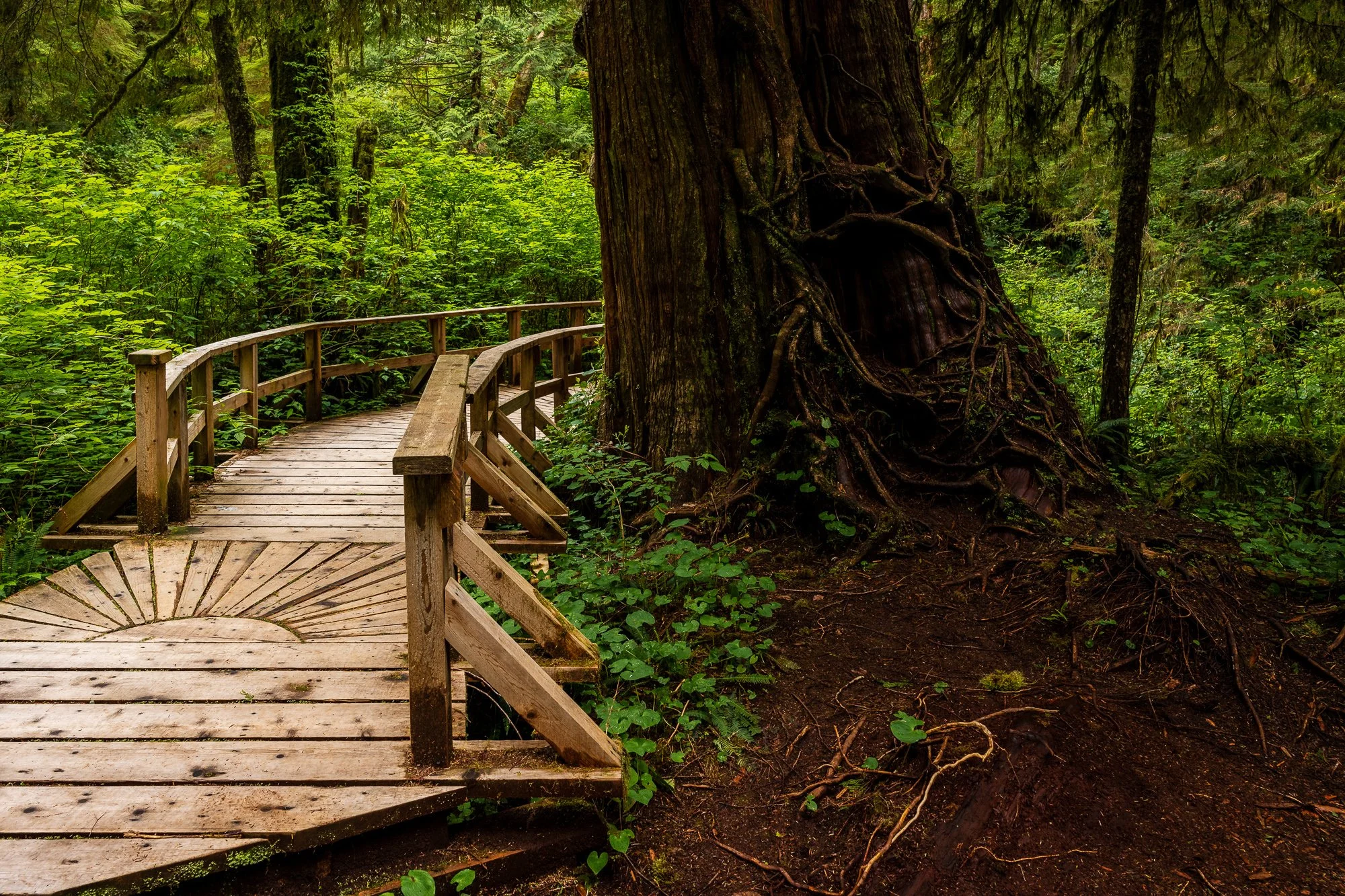
Rain Forest
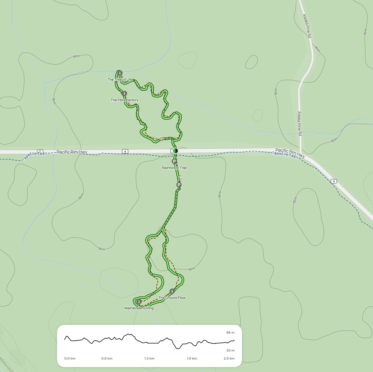
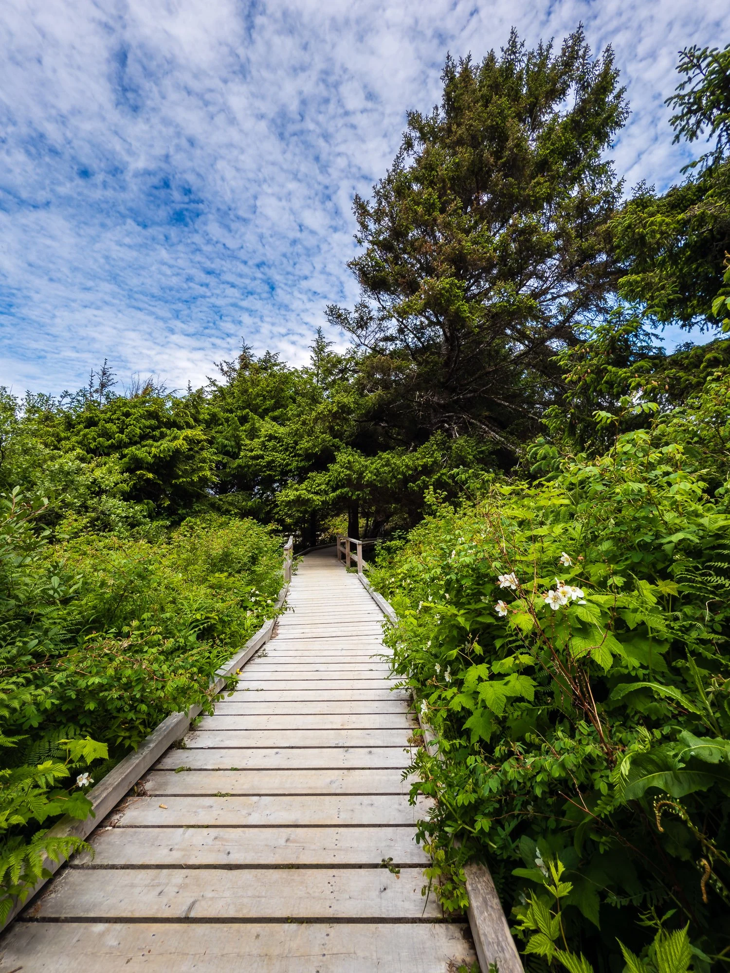
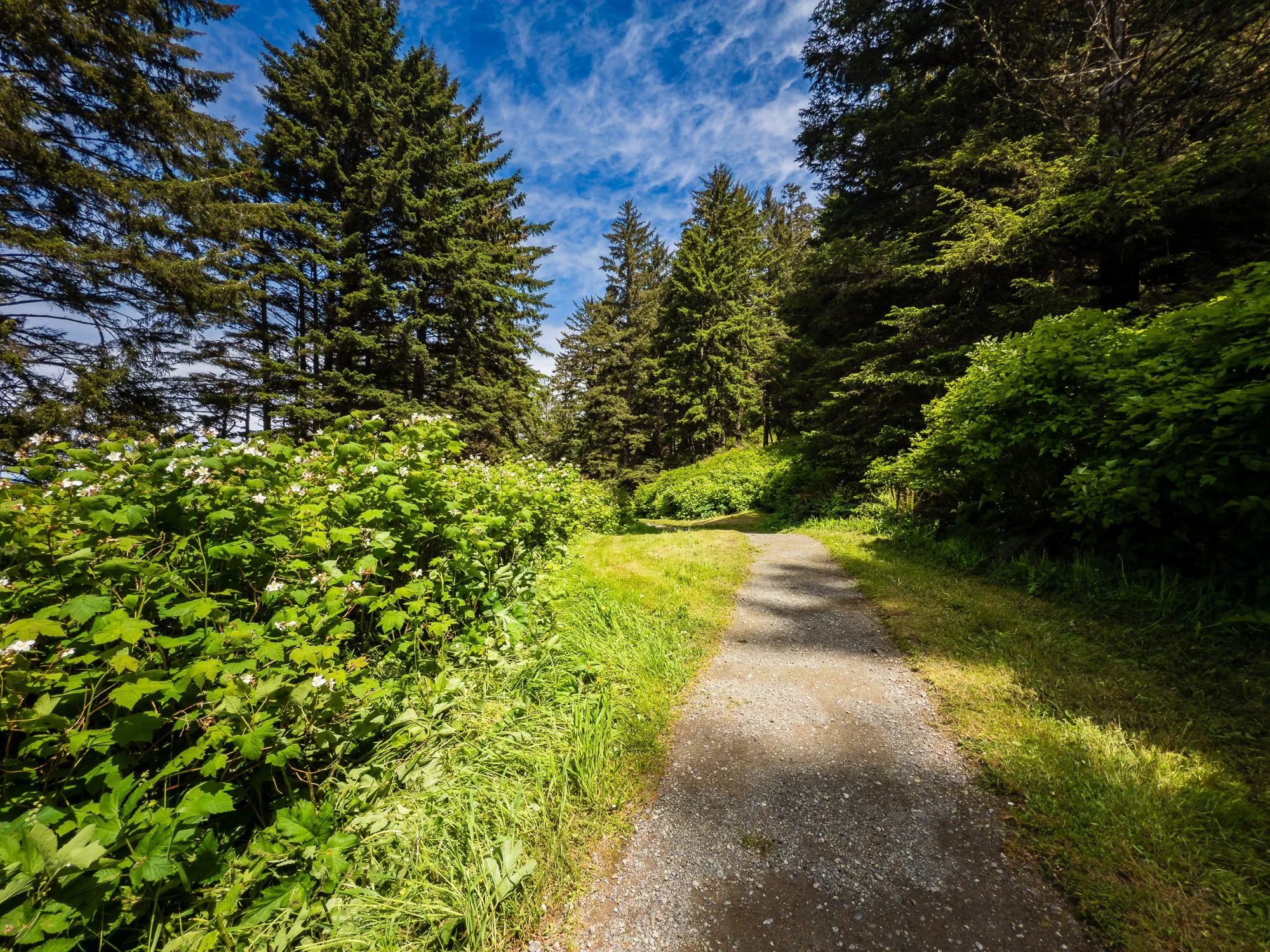
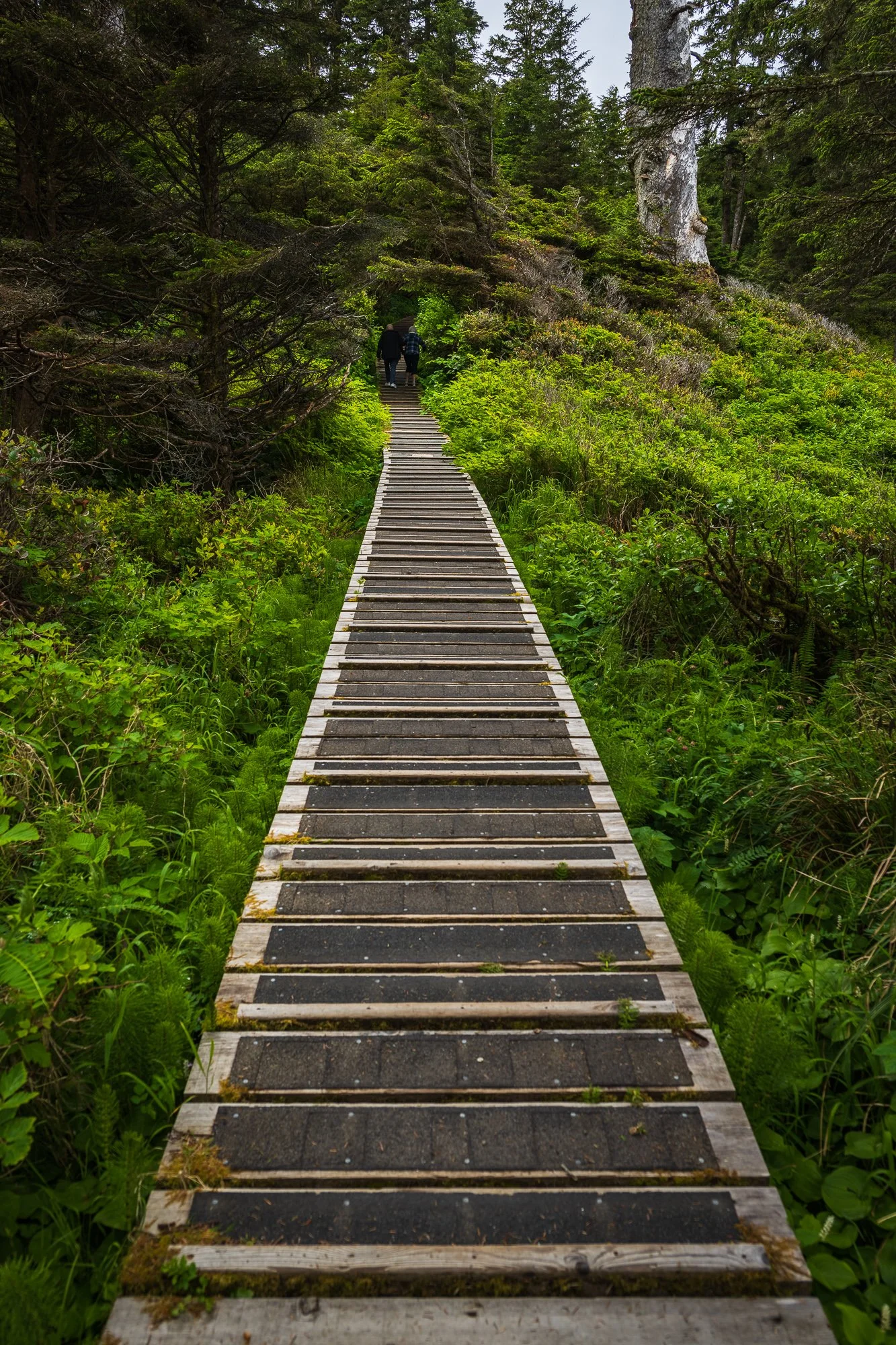
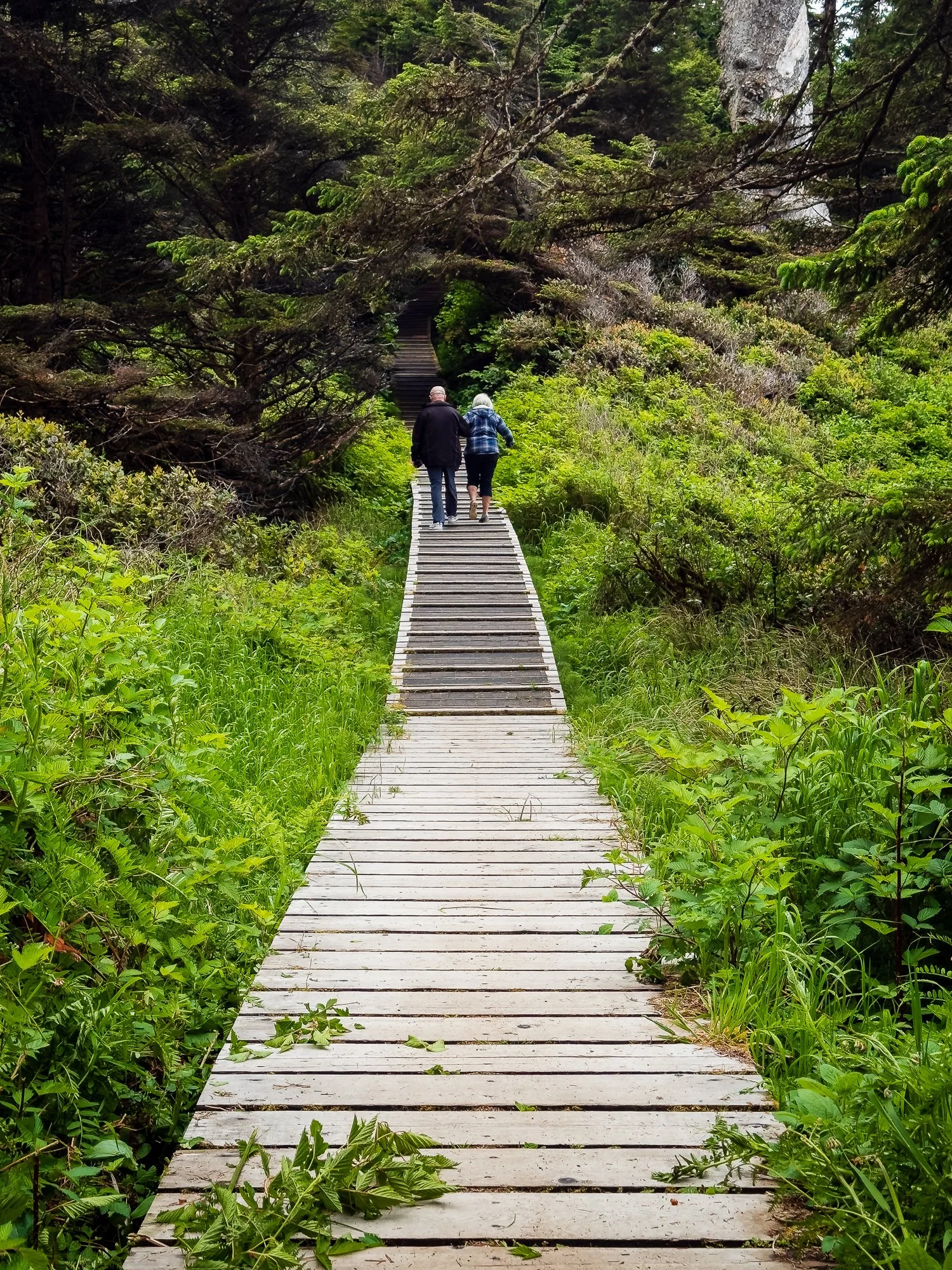
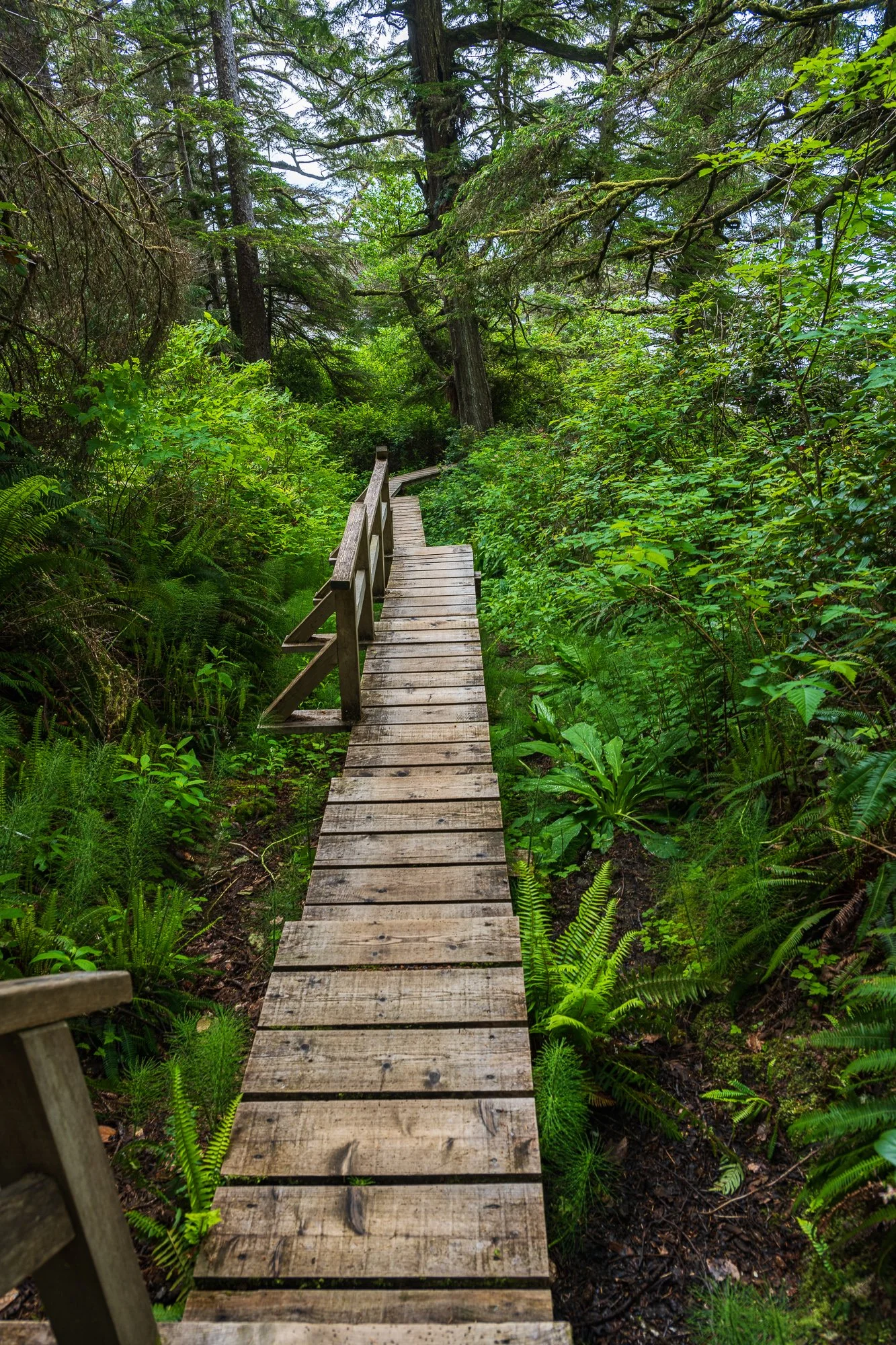
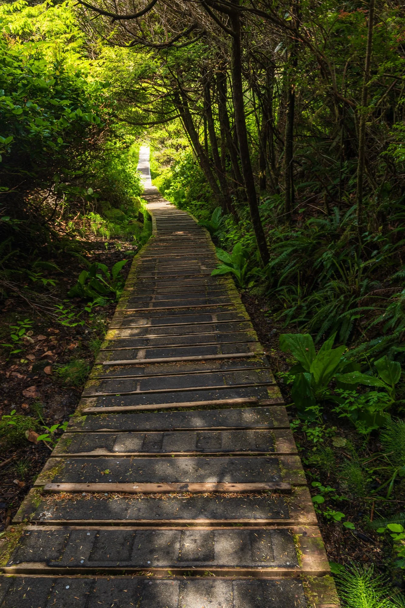
This was our first stop of the day. The Rain Forest Trail (A & B) (2.6 km, easy, loop) opens year around and takes about an hour to complete. it consists two separate paths on either side of the Pacific Rim Highway - A & B. The trail is mostly composed of wooden boardwalk and staircases with handrails, intermixed with gravel parts. It is a very serene walk through the west coast rainforest.
Parking is at the trailhead of the south loop, and spaces are limited. The north loop doesn’t have parking space.
It worth mentioning that the multi-use pathway in the Long Beach unit of the park ʔapsčiik t̓ašii (pronounced ups-cheek ta-shee), formerly known as Pacific Rim Pathway. It extends approx. 25 km from the southern to the northern boundary of the Long Beach Unit, and takes about a little over 5 hours to complete. It is paved along its entirety and provides access to numerous points of interest in the national park reserve, and is generally considered as a moderately challenging route. It is ideal for hiking, cycling, and waking with pets, but not for vehicles.
https://parks.canada.ca/pn-np/bc/pacificrim/activ/piste-pathway
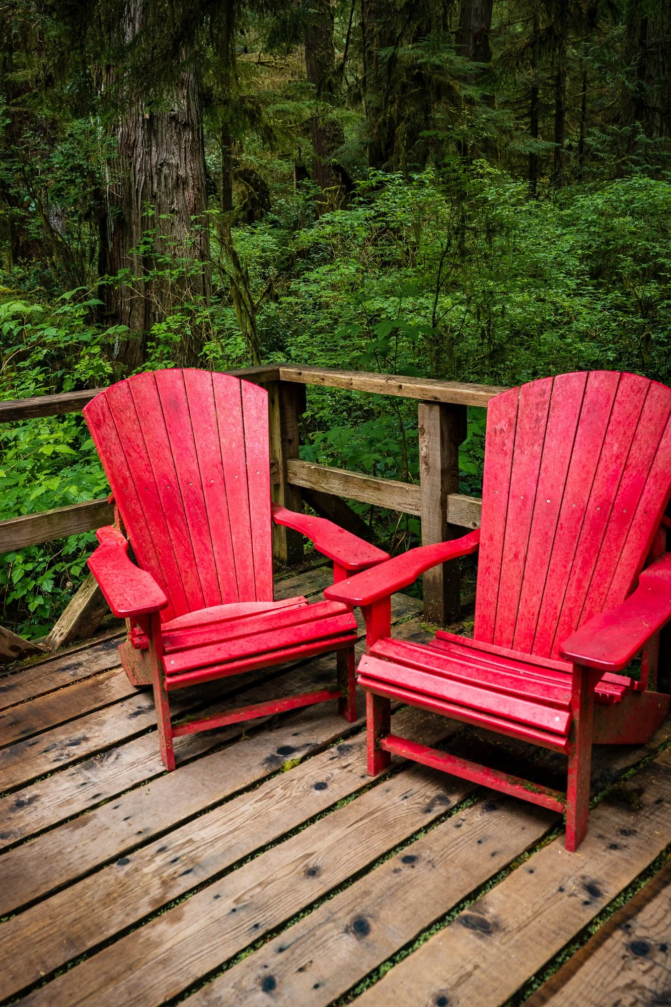


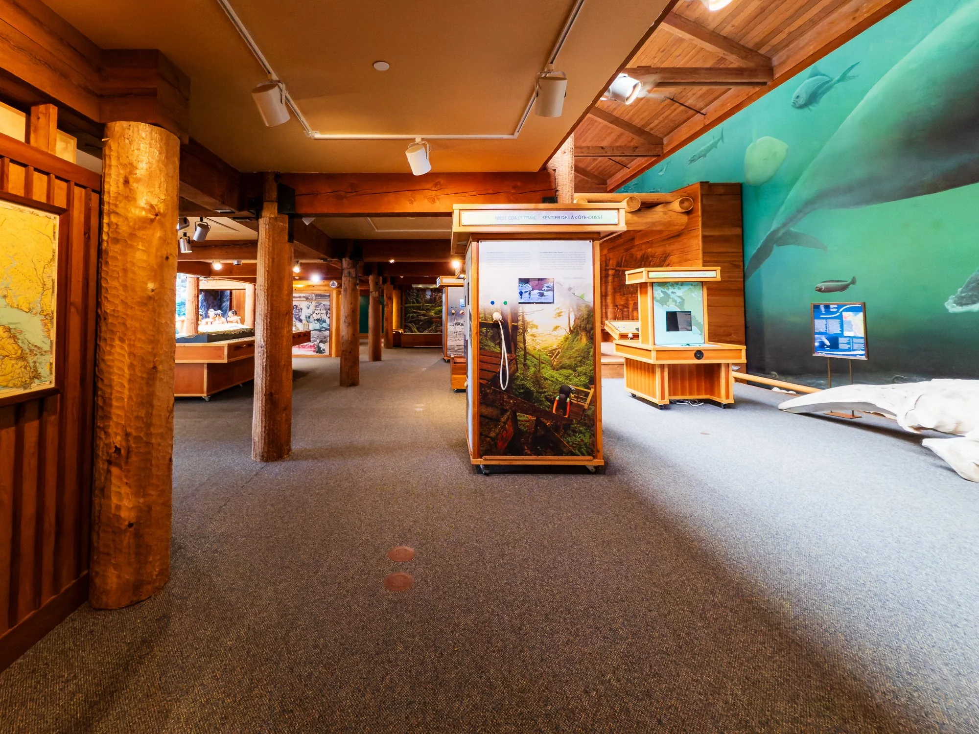
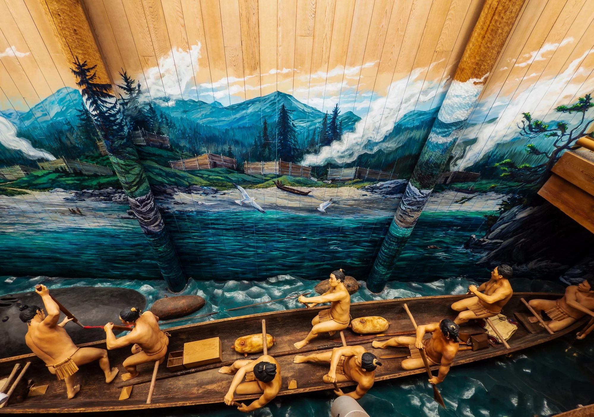
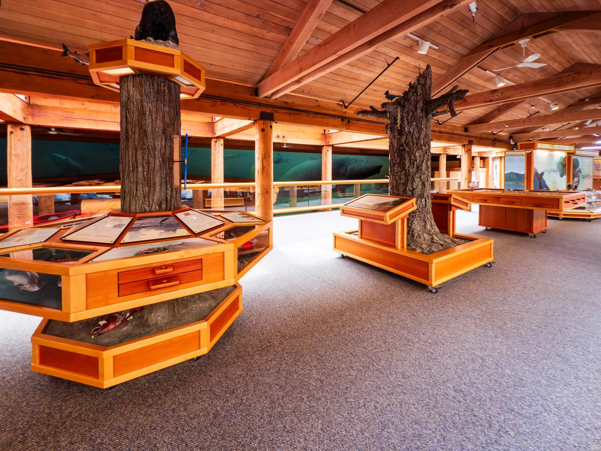
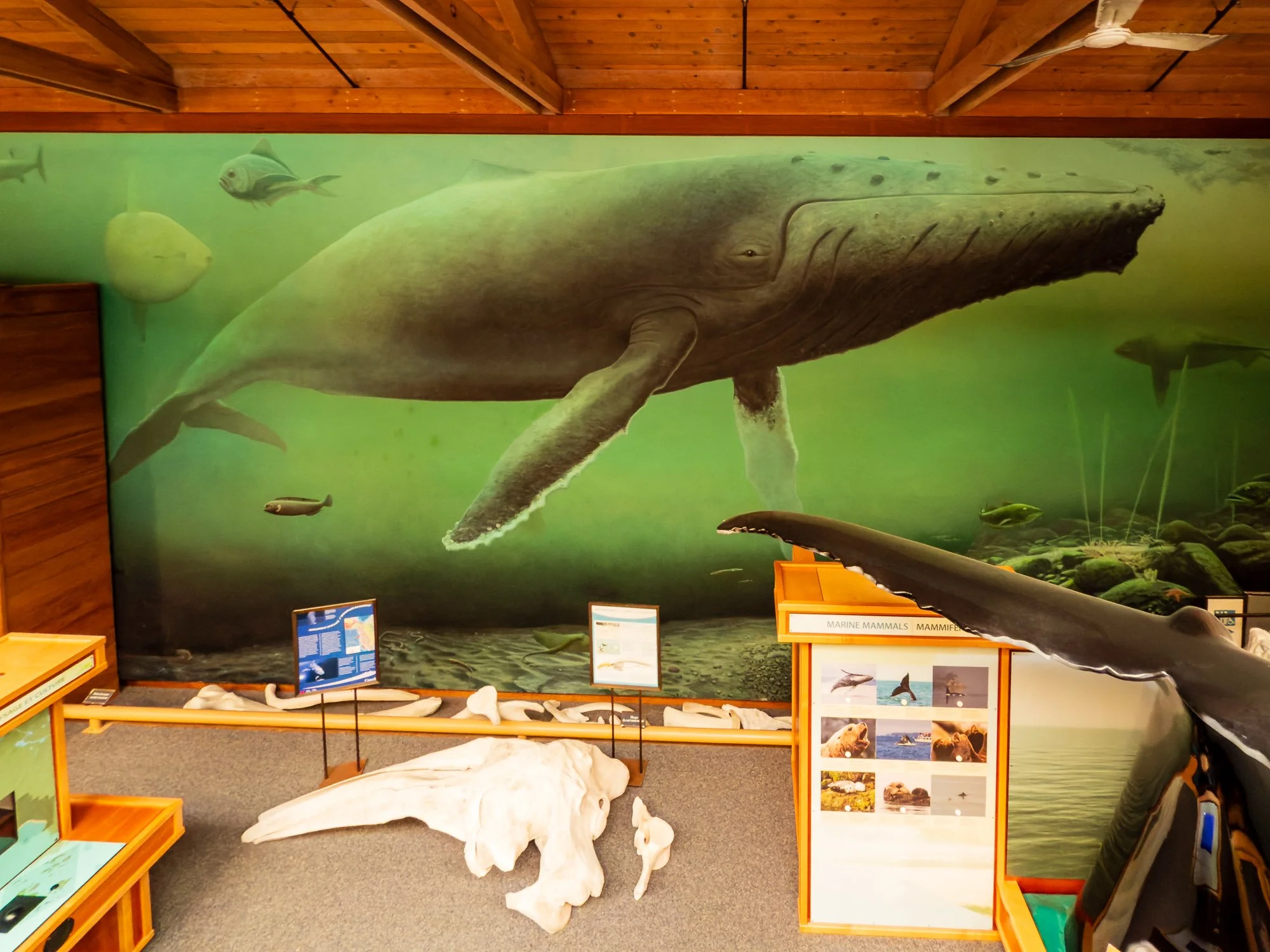
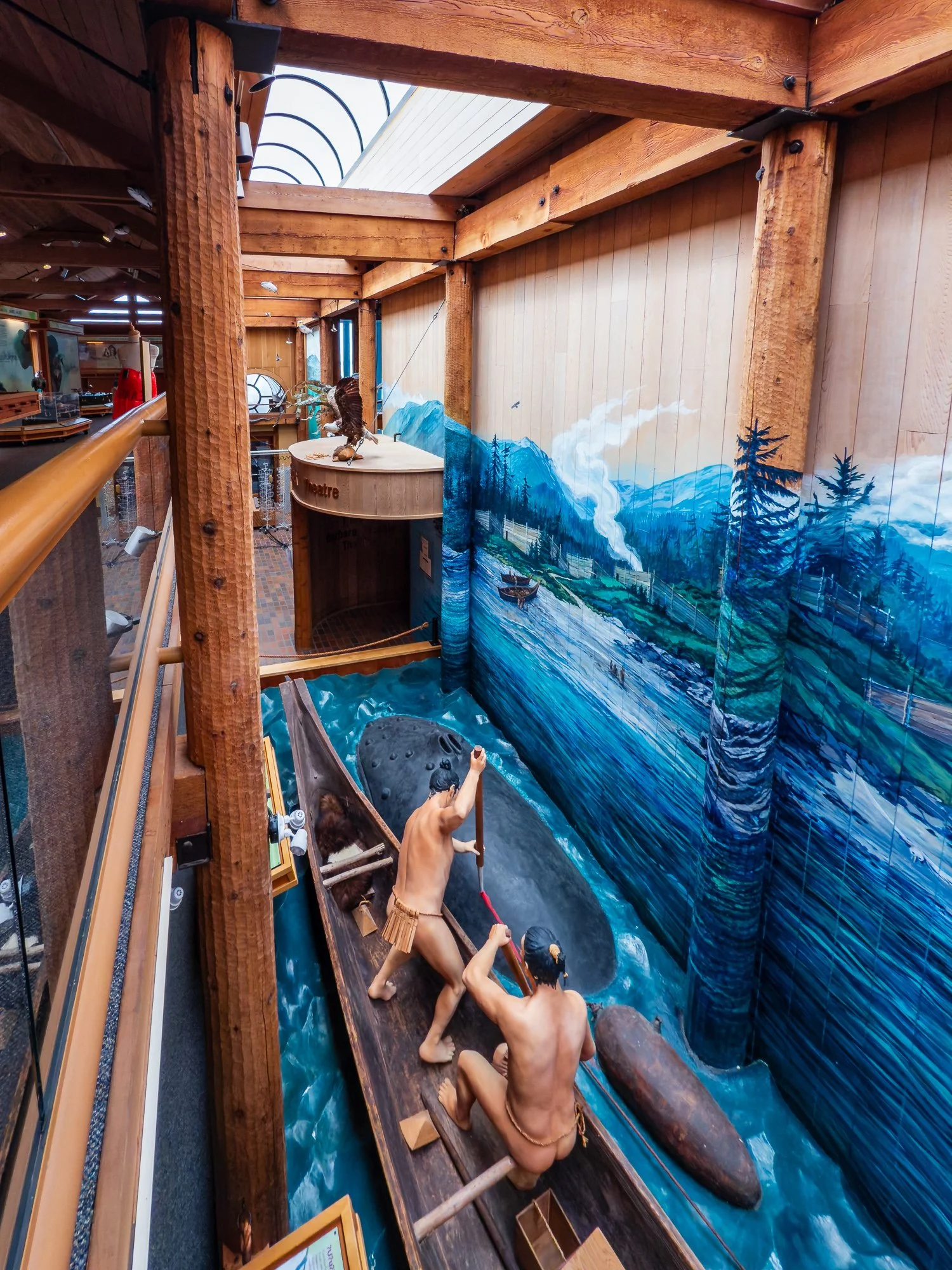
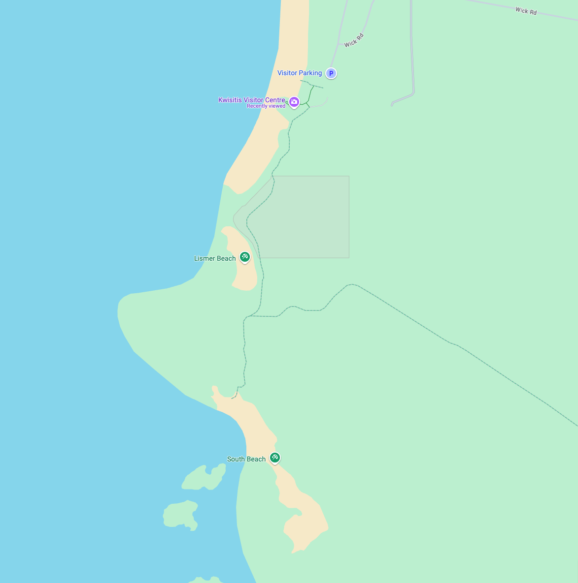
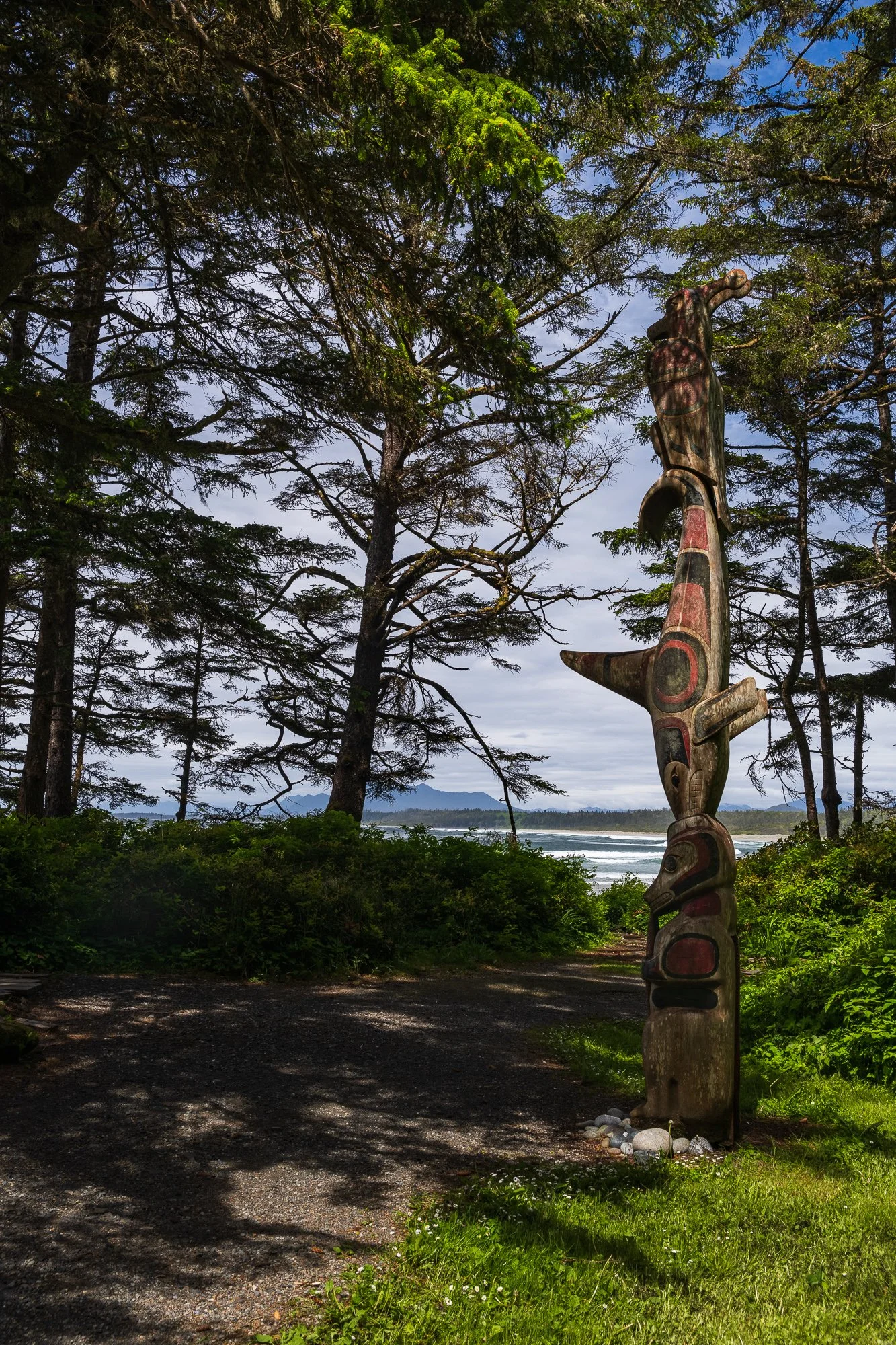
Kwisitis Visit Center
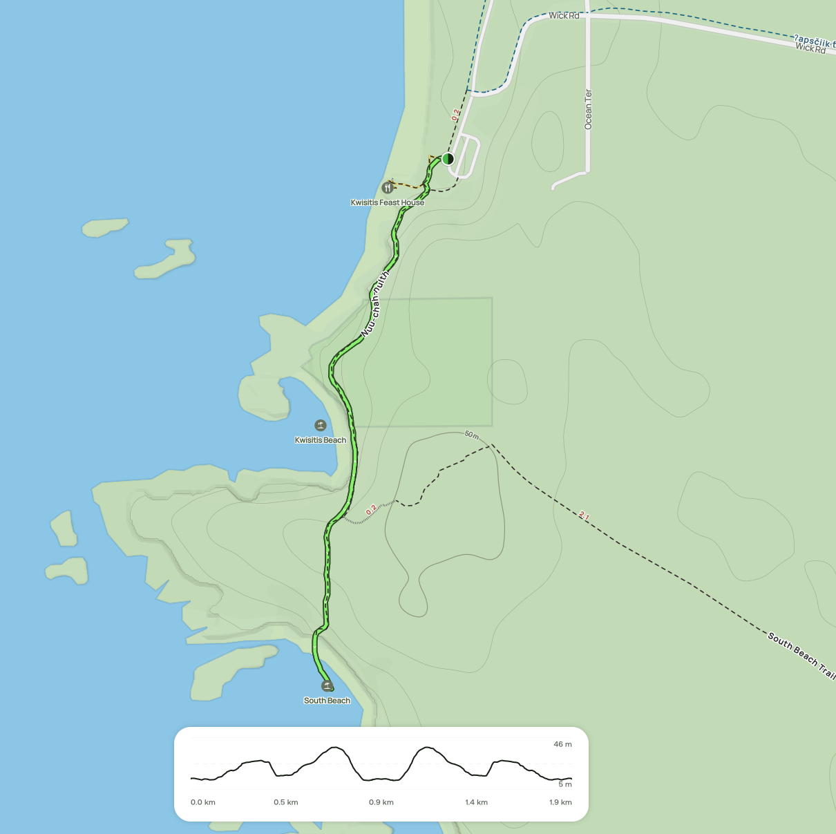
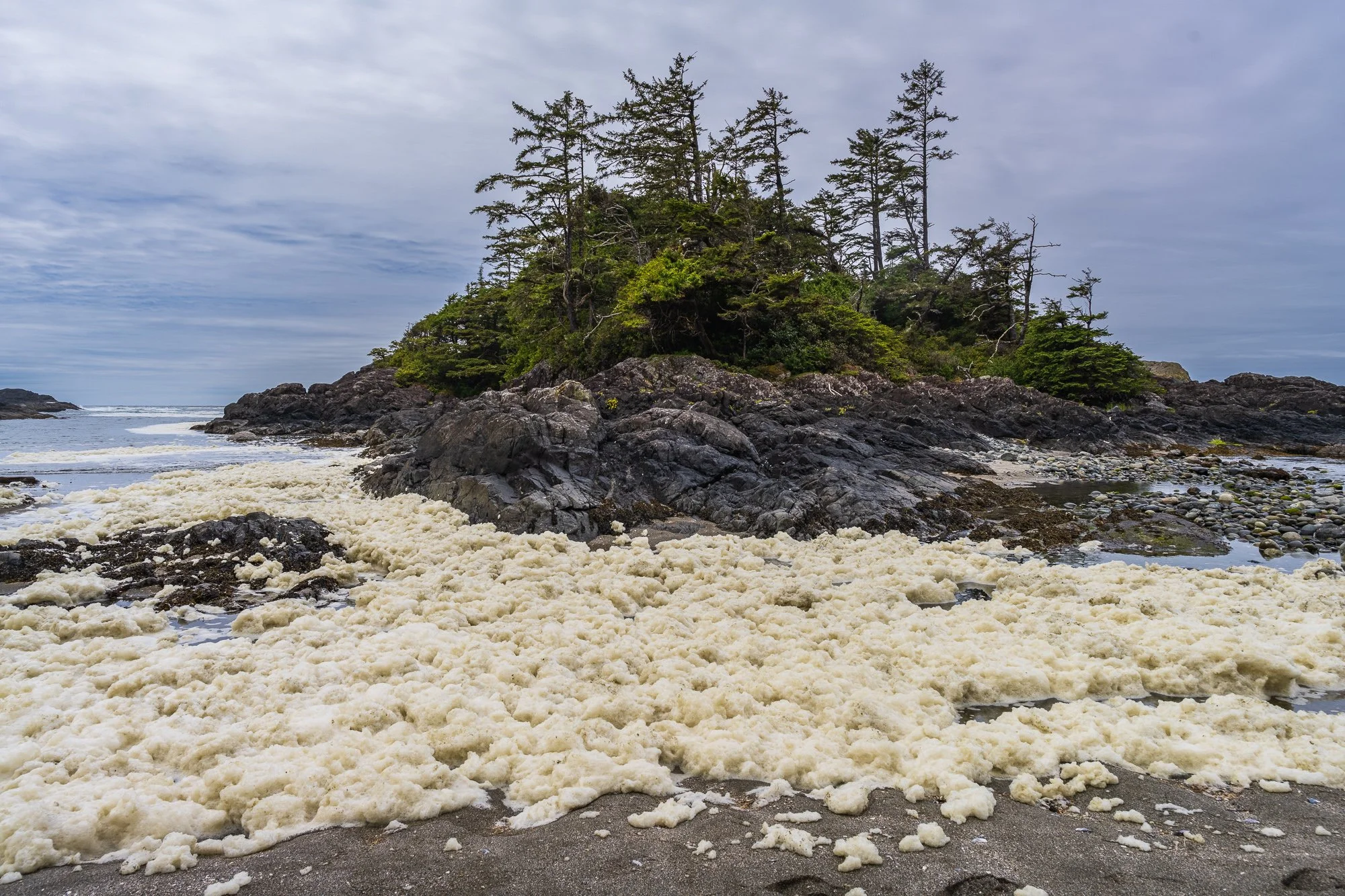
Nuu-chah-nulth to South Beach Trail (1.9 km, moderate, out & back) is a great forest trail with plenty of viewpoints along the rouge and accesses to well-known beaches. Depending on the season, you can also explore tide pool with lime green anemones, star fishes, and even watch whales or seals.
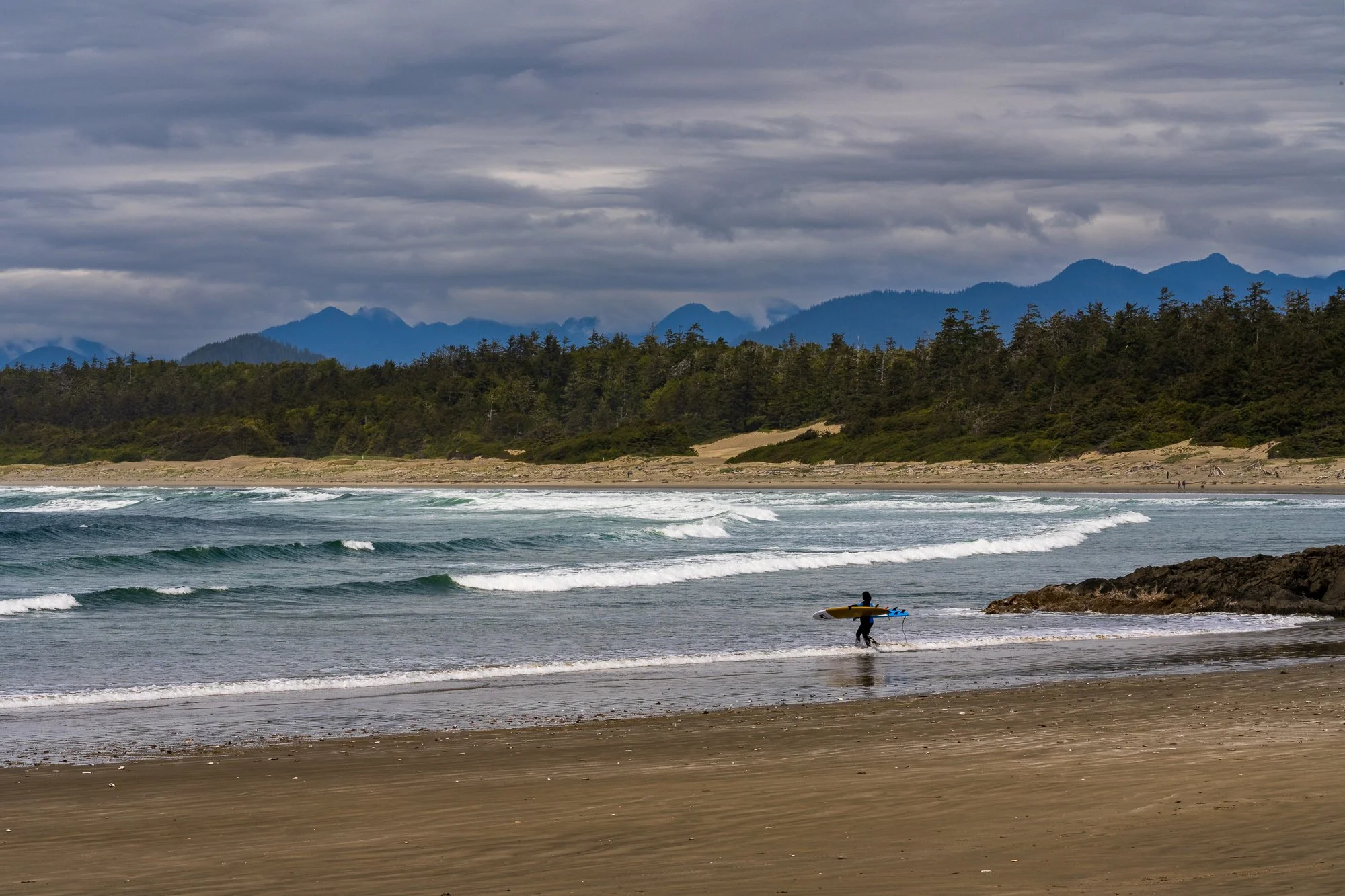
The Kwisitis Visitor Center is right next to the parking lot near the trailhead. The parking lot is quite large and has dedicated RV parking spots too. The beach in this area is the , and is popular among surfers.
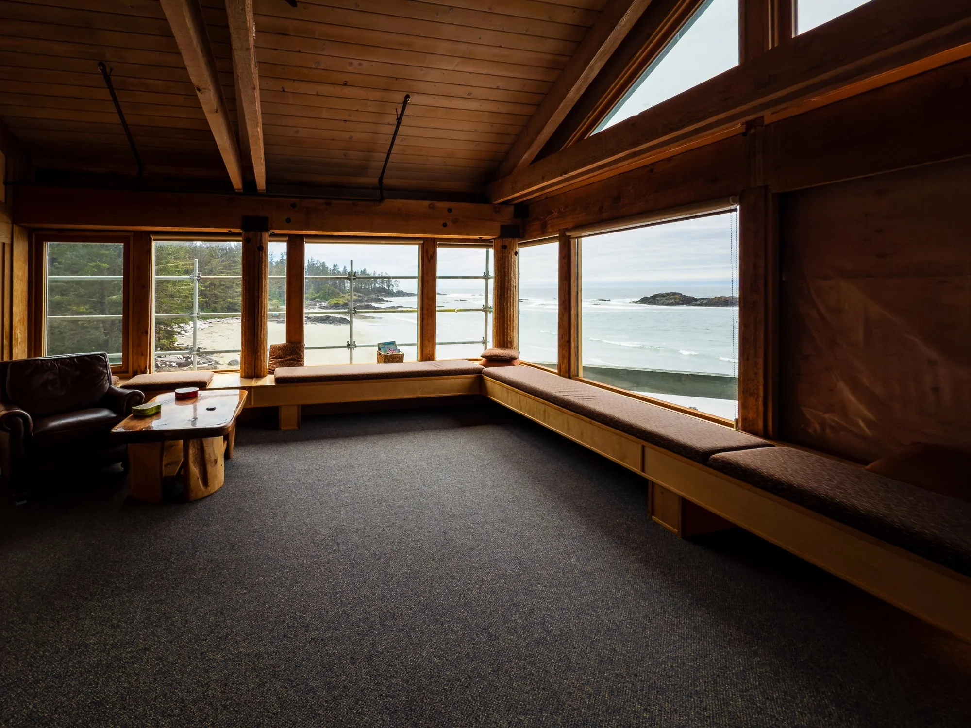
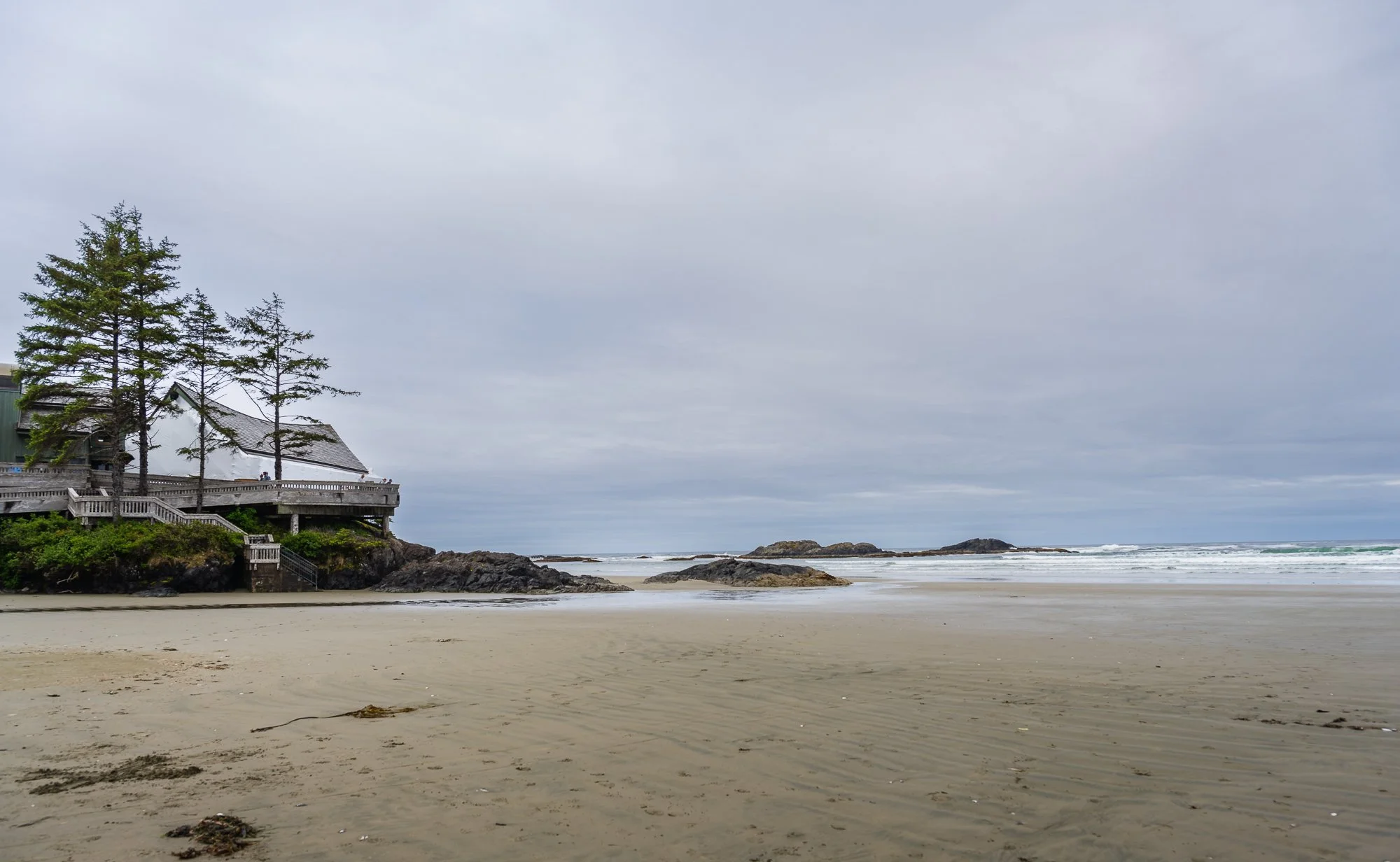
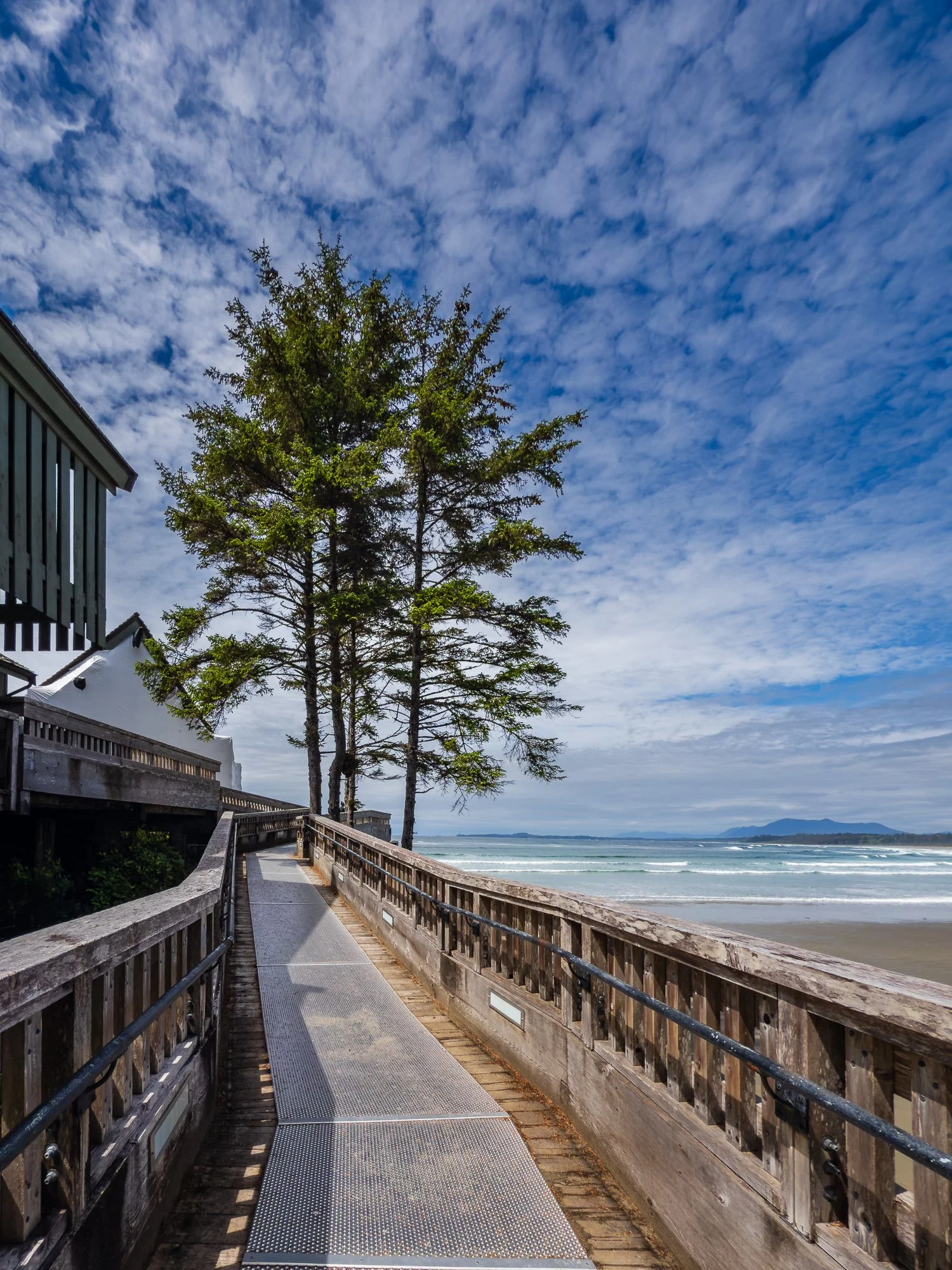
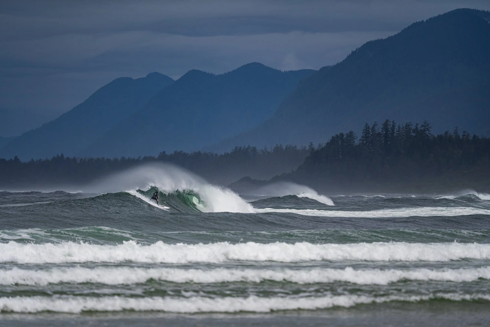
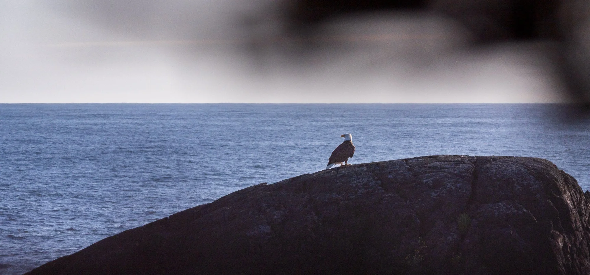
The visitor center is an iconic building perched at the southern end of Wickaninnish Beach. This area is very popular among surfers. The structure has two floors, and a section in the south is currently under renovation. The outside deck is the perfect year-round spot to view whales, storms and surfers. Inside has the information desk, restroom, a gift shop, and exhibits on both floors about the nature and cultural aspects of the area.

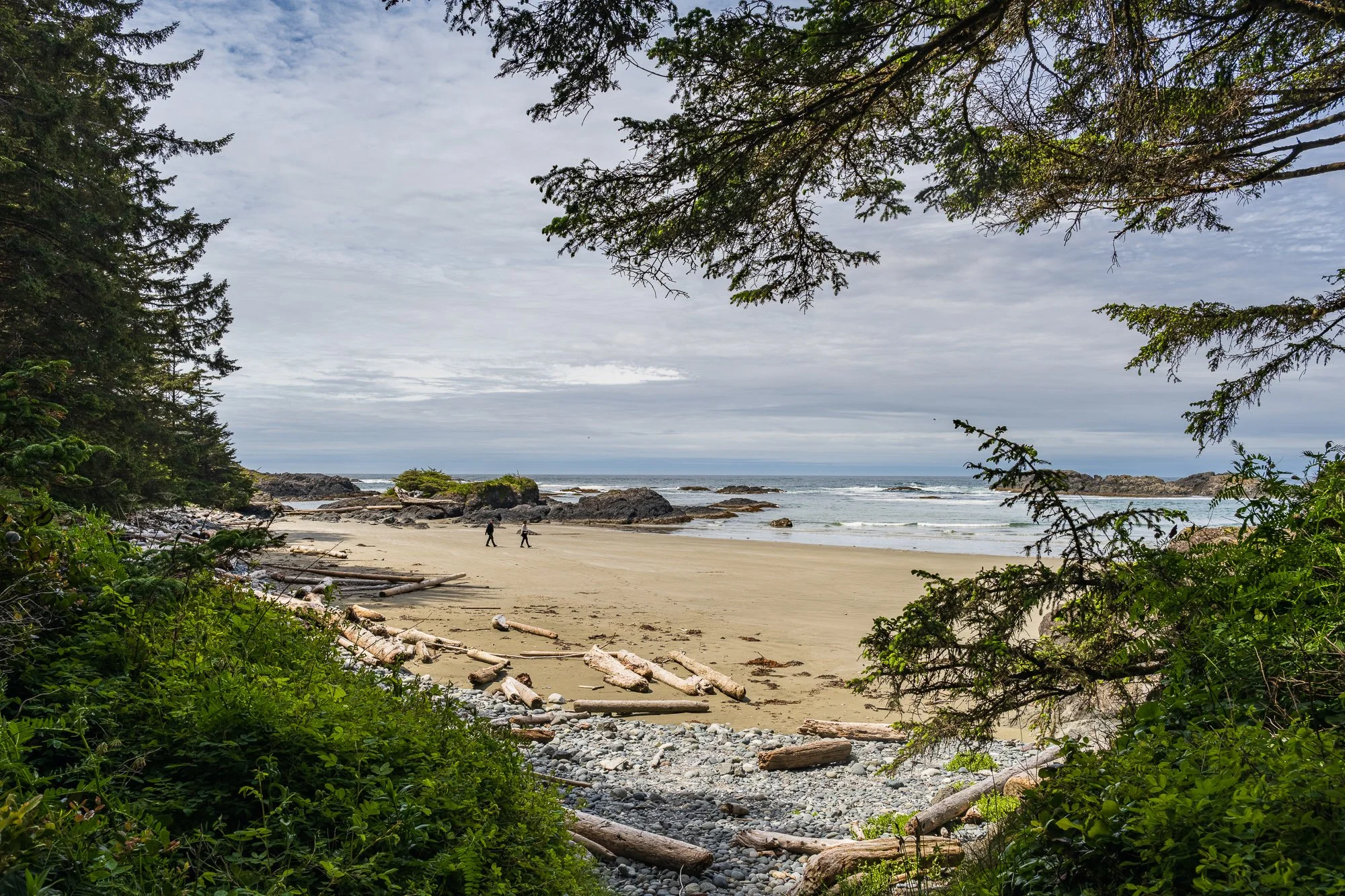
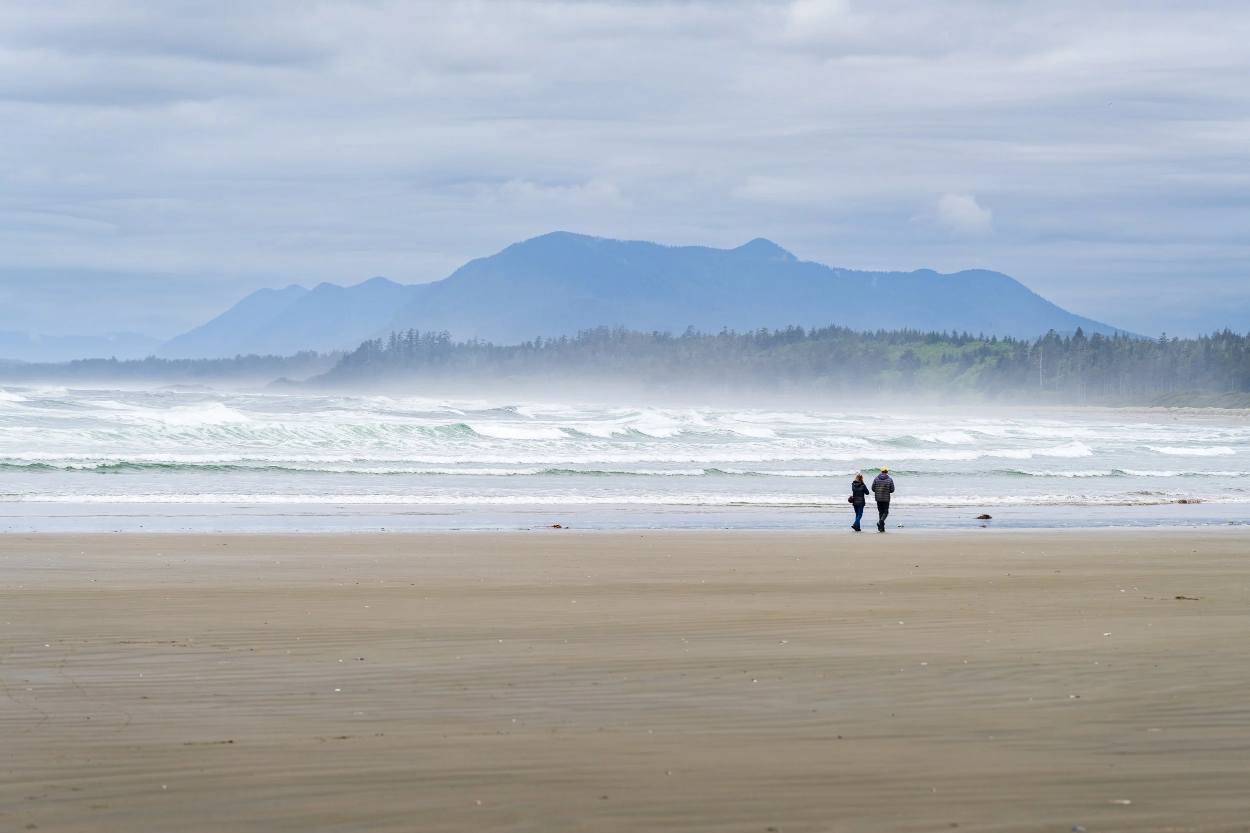
Wickaninnish Beach
We only stopped at the beach near the visitor center, which is the southern tip of the Wickaninnish Beach. This is a popular spot for surfers.
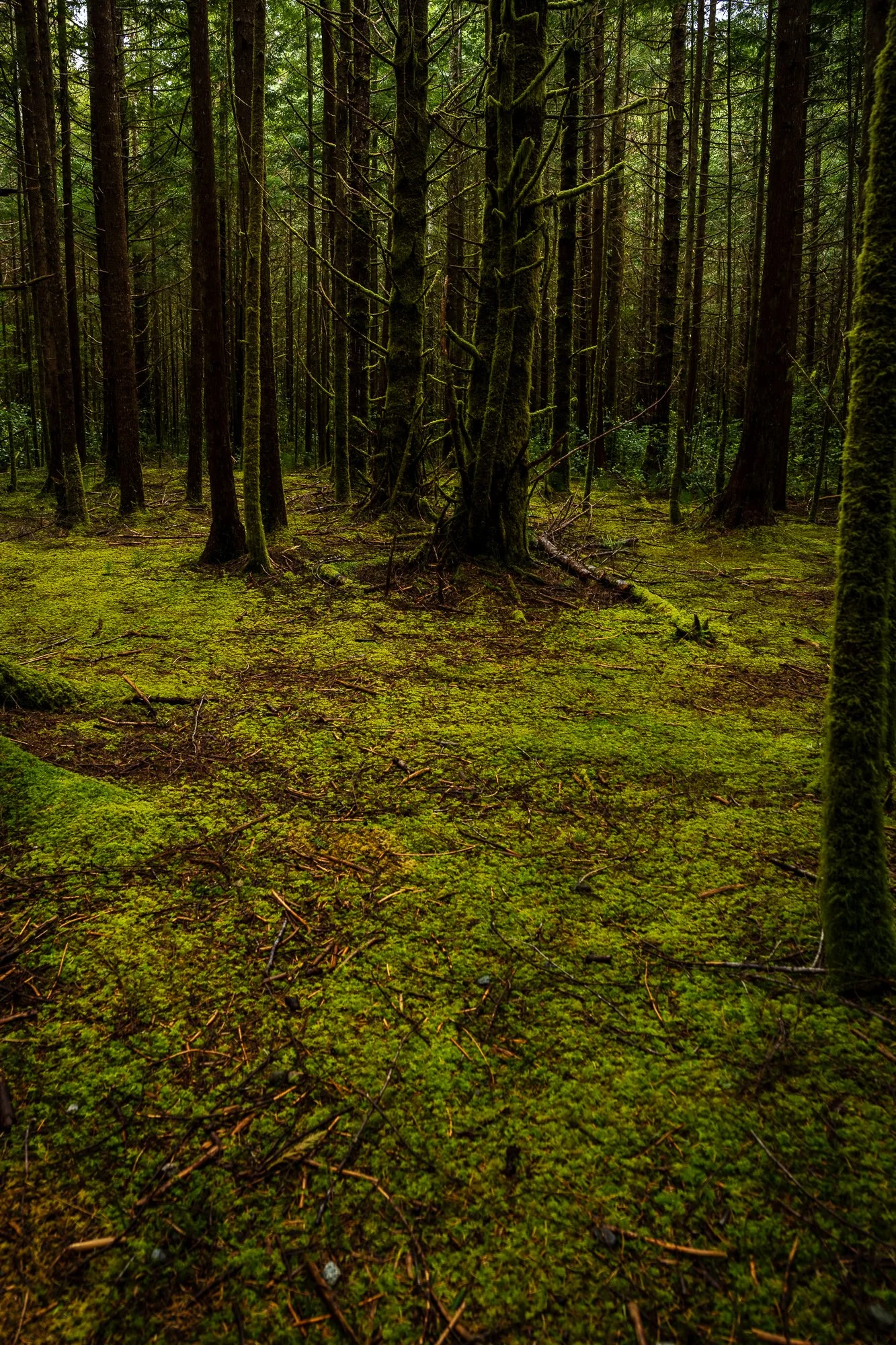
This trail also leads to several other trails, including the Shoreline Bog Trail (0.8 km, moderate, loop), which is only 2 mins drive on Wick Road with parking. It is a loop with wooden boardwalk floating on top of a bog, so can be uneven and bumpy. You can experience an old growth coastal rainforest with small trees, damp soil, and thick moss.
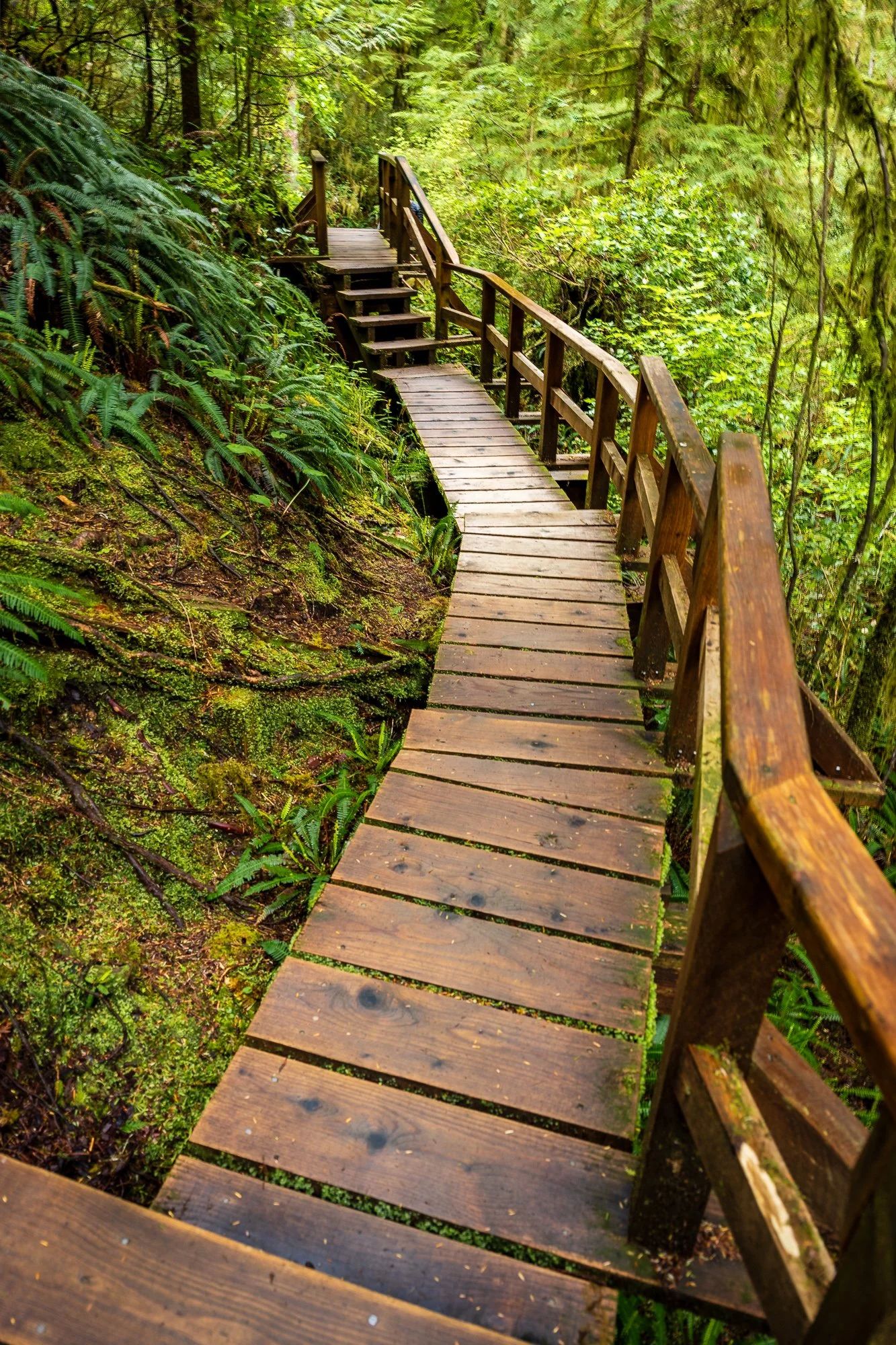
Another trail worth exploring is the Nuu-Chah-Nulth Trail (3.8 km, moderate, out & back), which was formerly known as the Wickaninnish Trail. It is a forest trail branching out from the trail to South Beach. You won’t miss it when you see the wooden steps on the side of that section of the trail. There are boardwalk, stairs, thick forest, wetland to cross to reach the Florence Bay. A large portion of the trail is packed soil with muddy braided conditions, so water ponding can occur on the trail in rainy seasons.
Due to our schedule, we didn’t try these two trails.
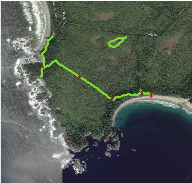

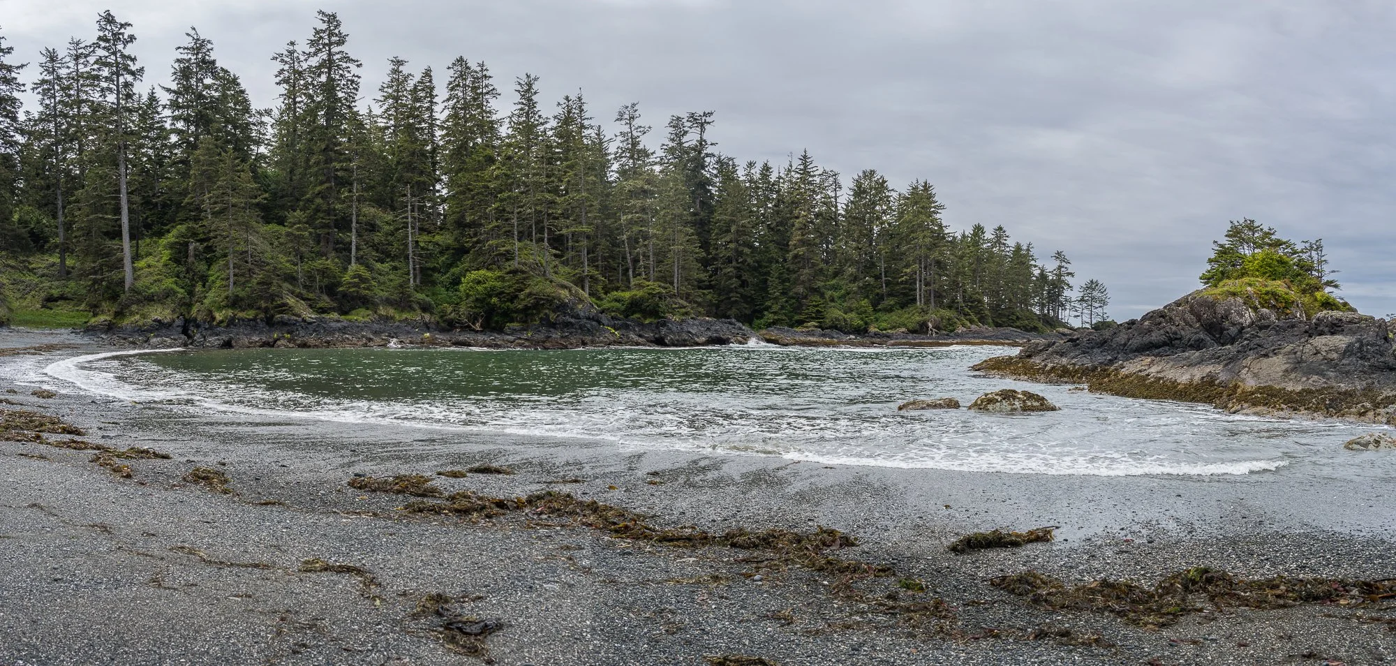
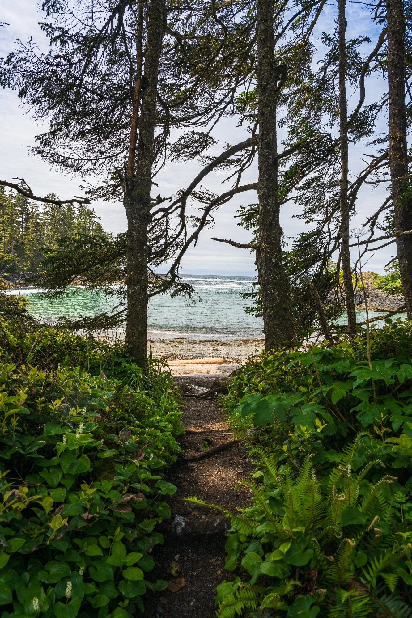
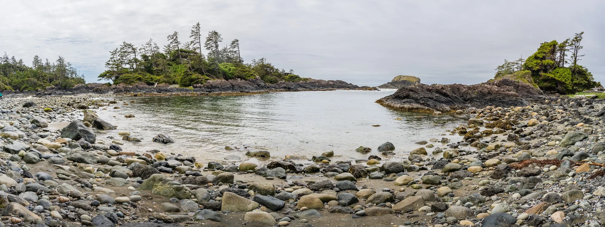
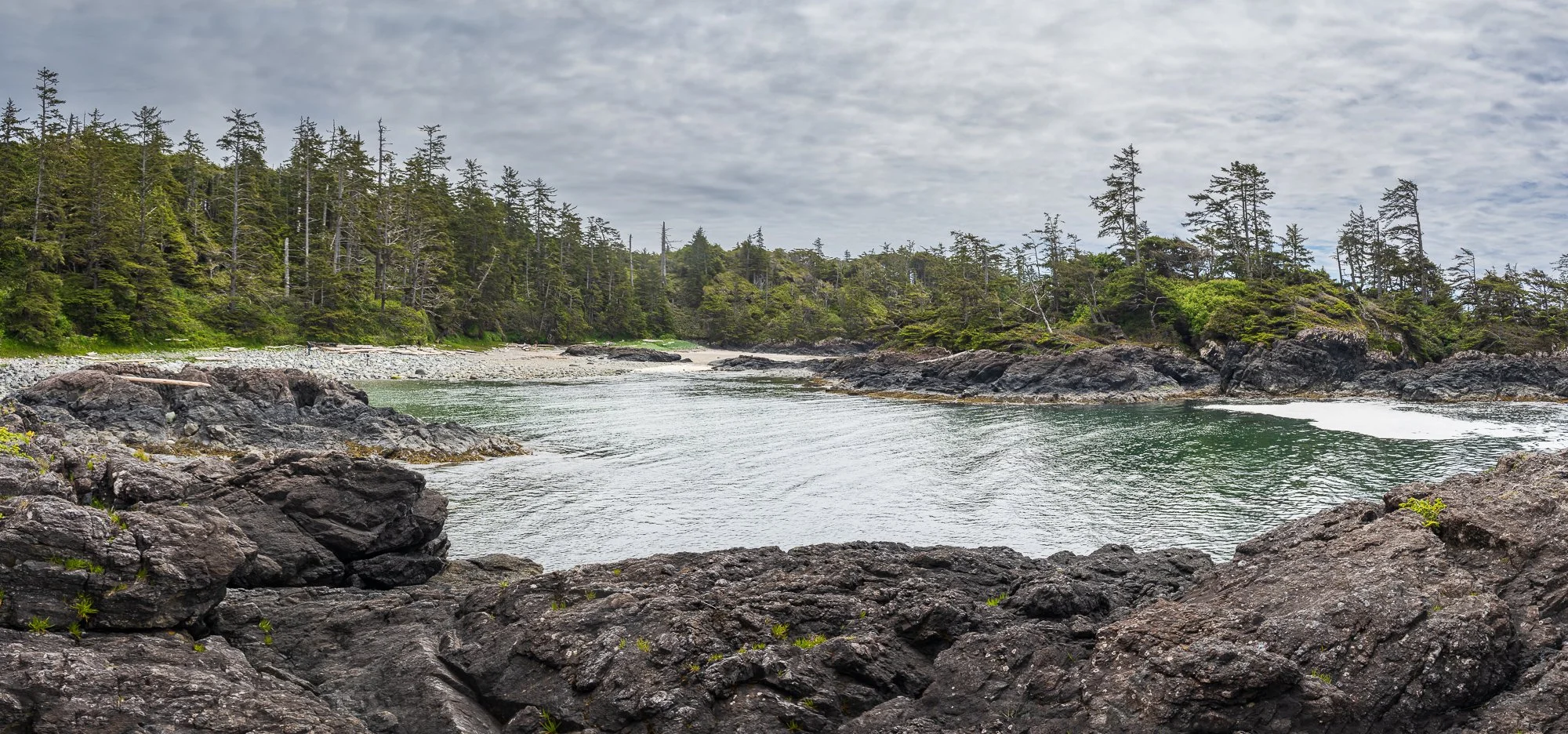
Lismer Beach
You could come to this beach via the trail, which starts behind the visitor center, and winds along the coastline. We ended up here by wondering around the beach outside of the visitor center. We had to climb over some rocks in the
but it wasn’t too bad. It is a tiny pebble beach with a tranquil atmosphere. We went back to the trail from here.
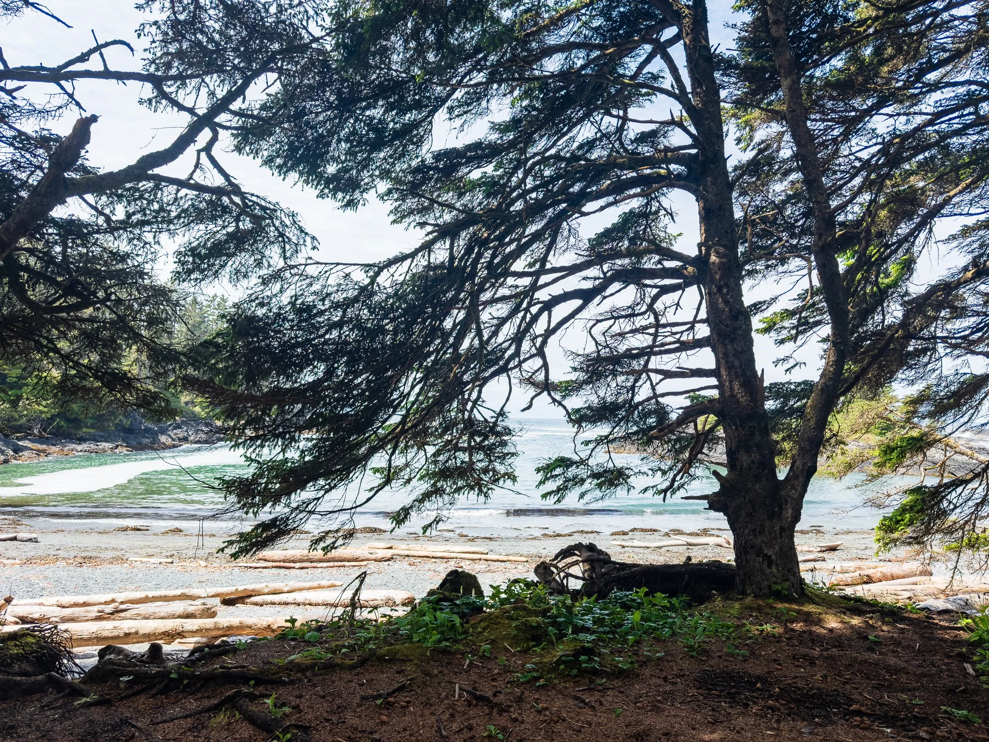

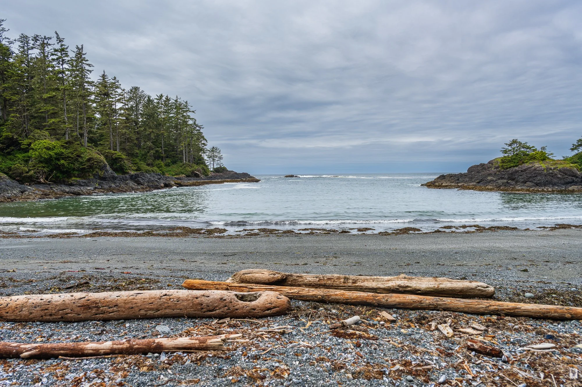
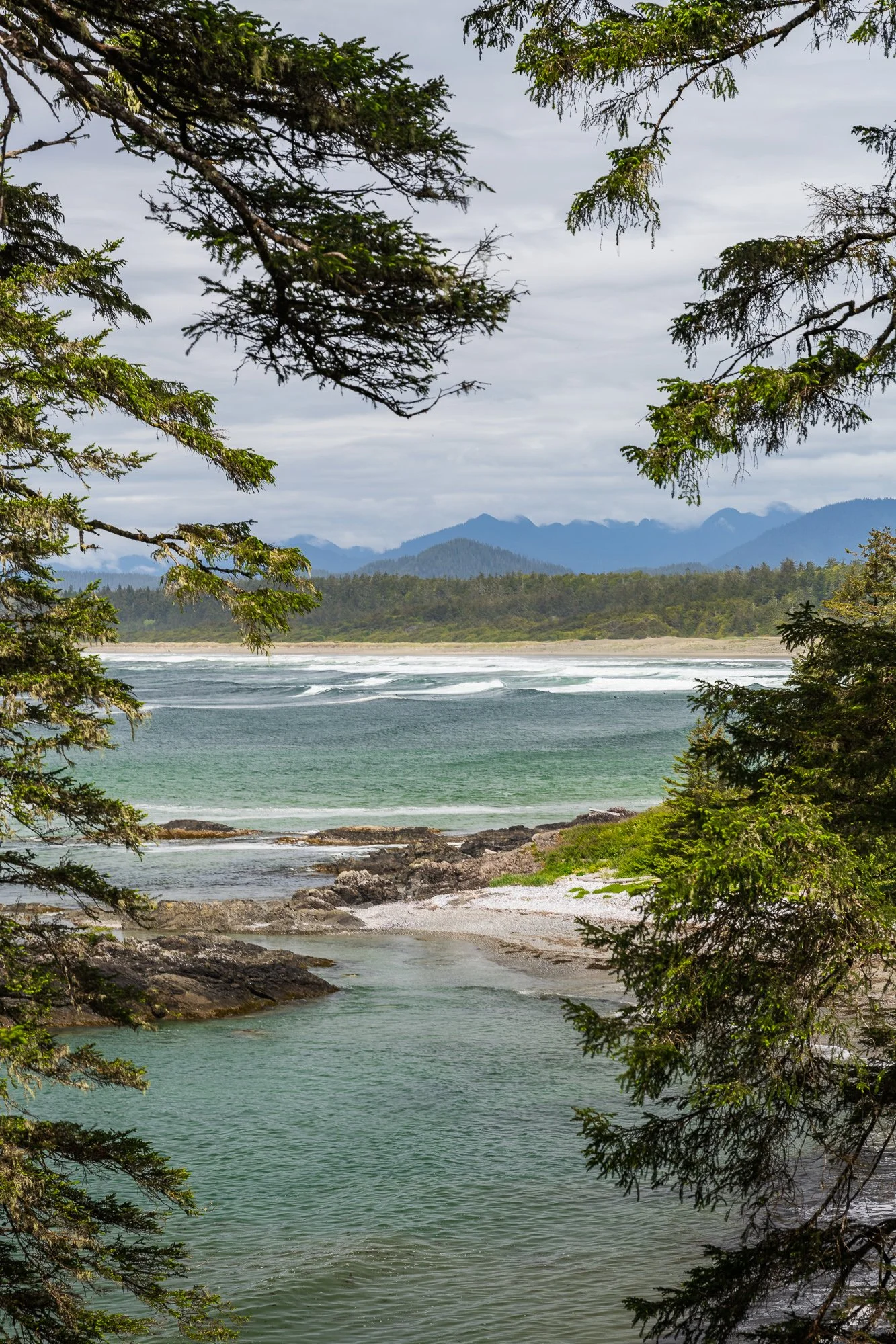
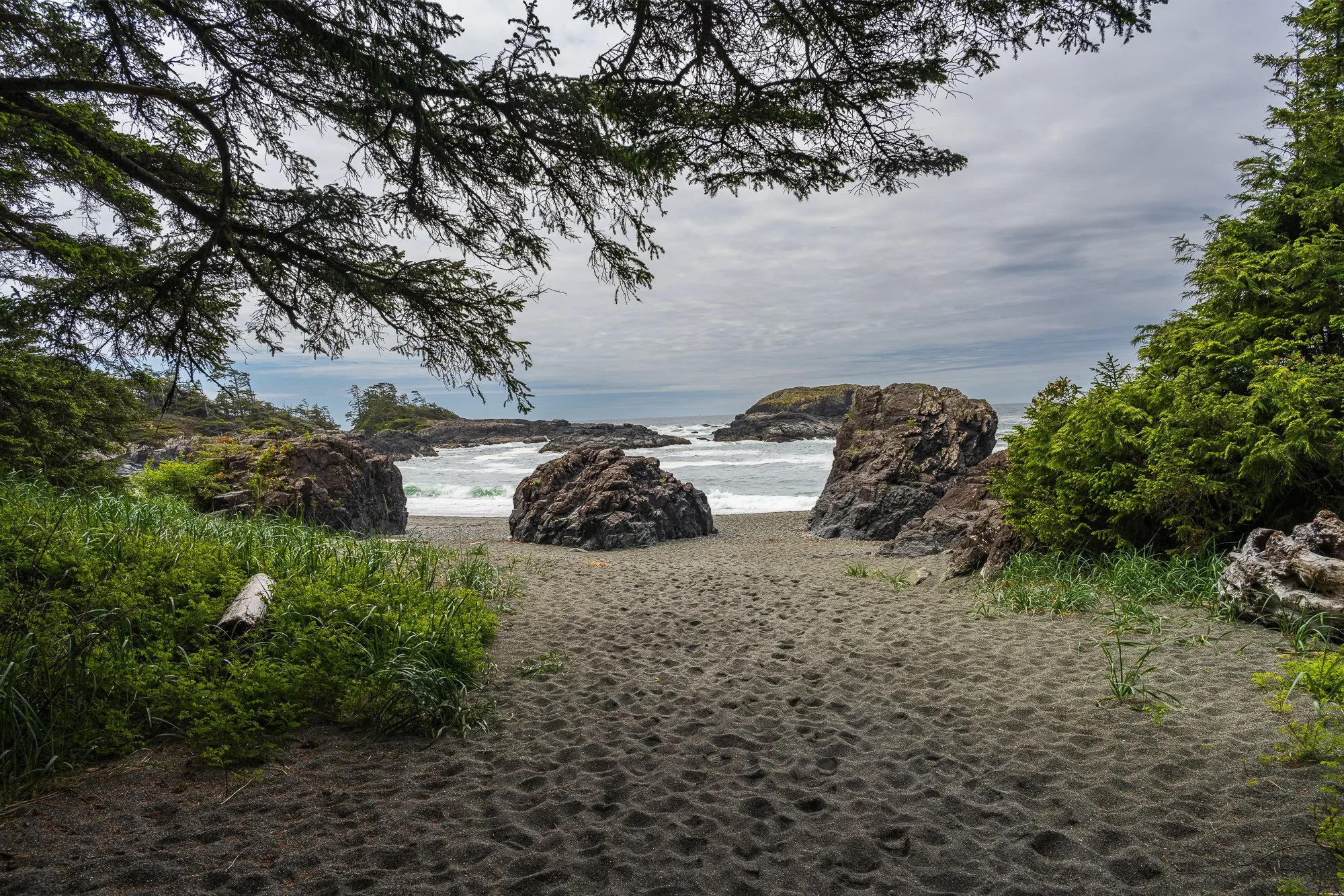
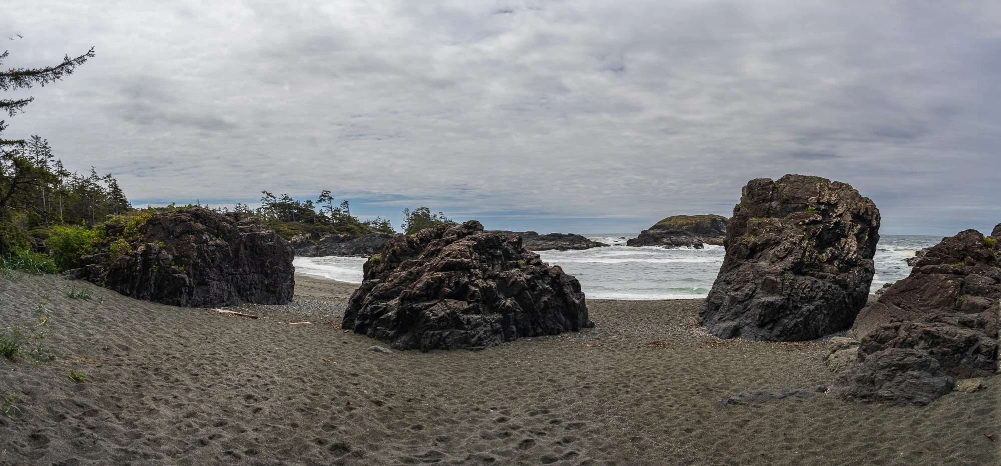
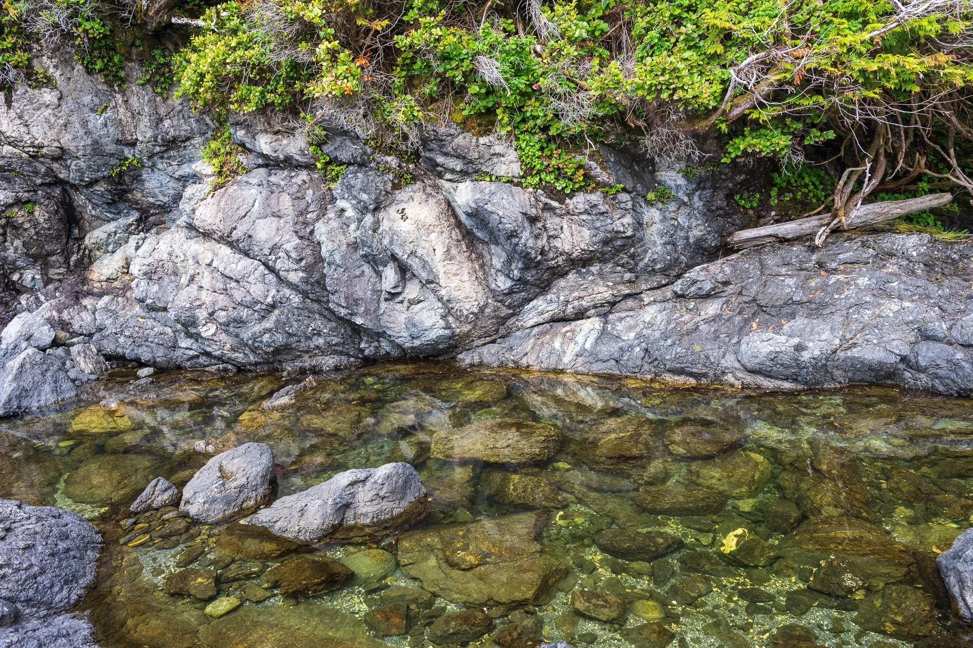
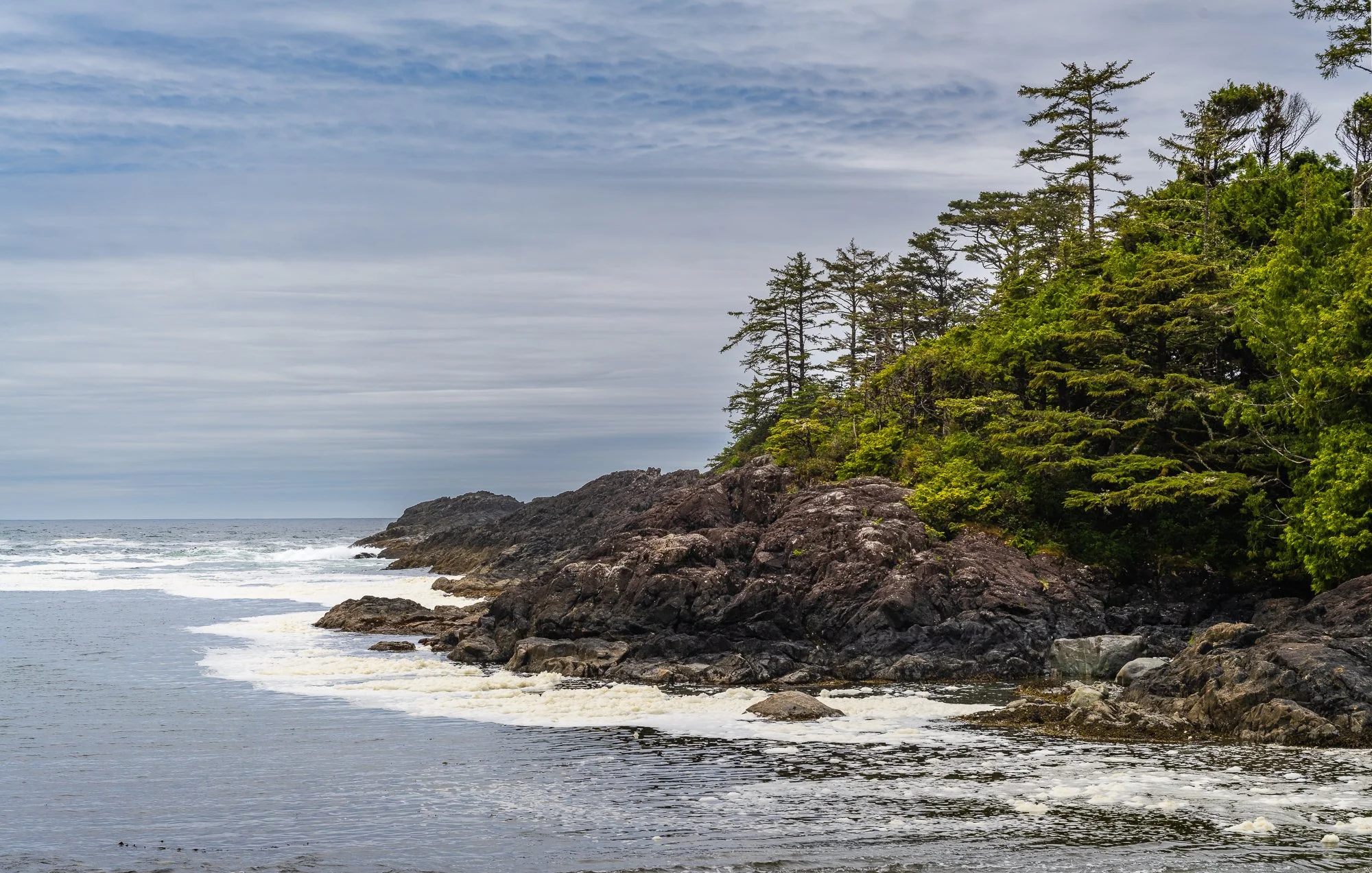
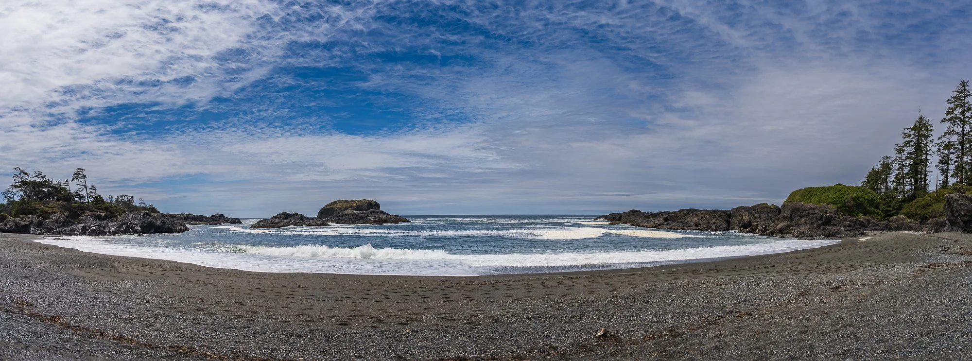
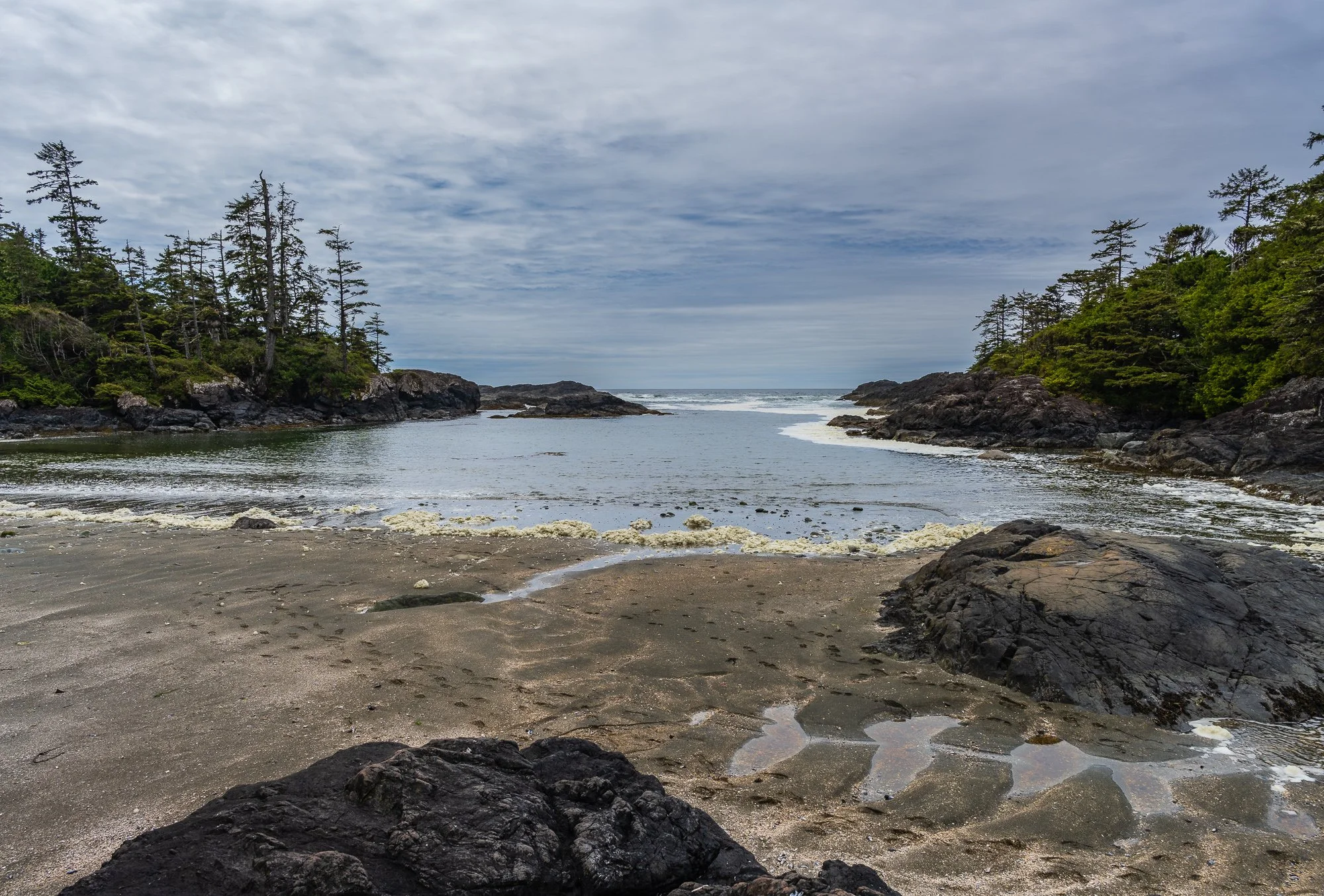
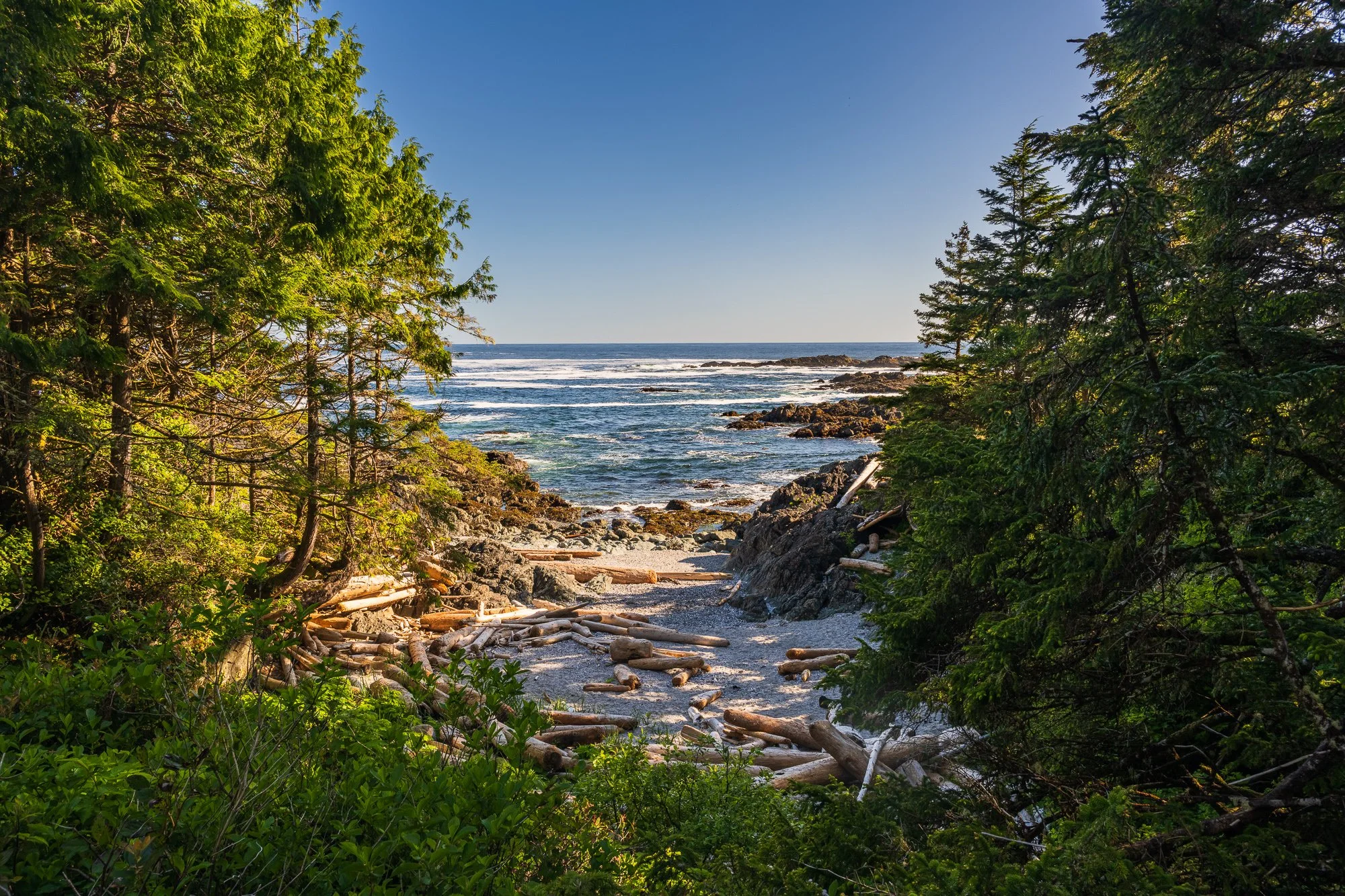
South Beach
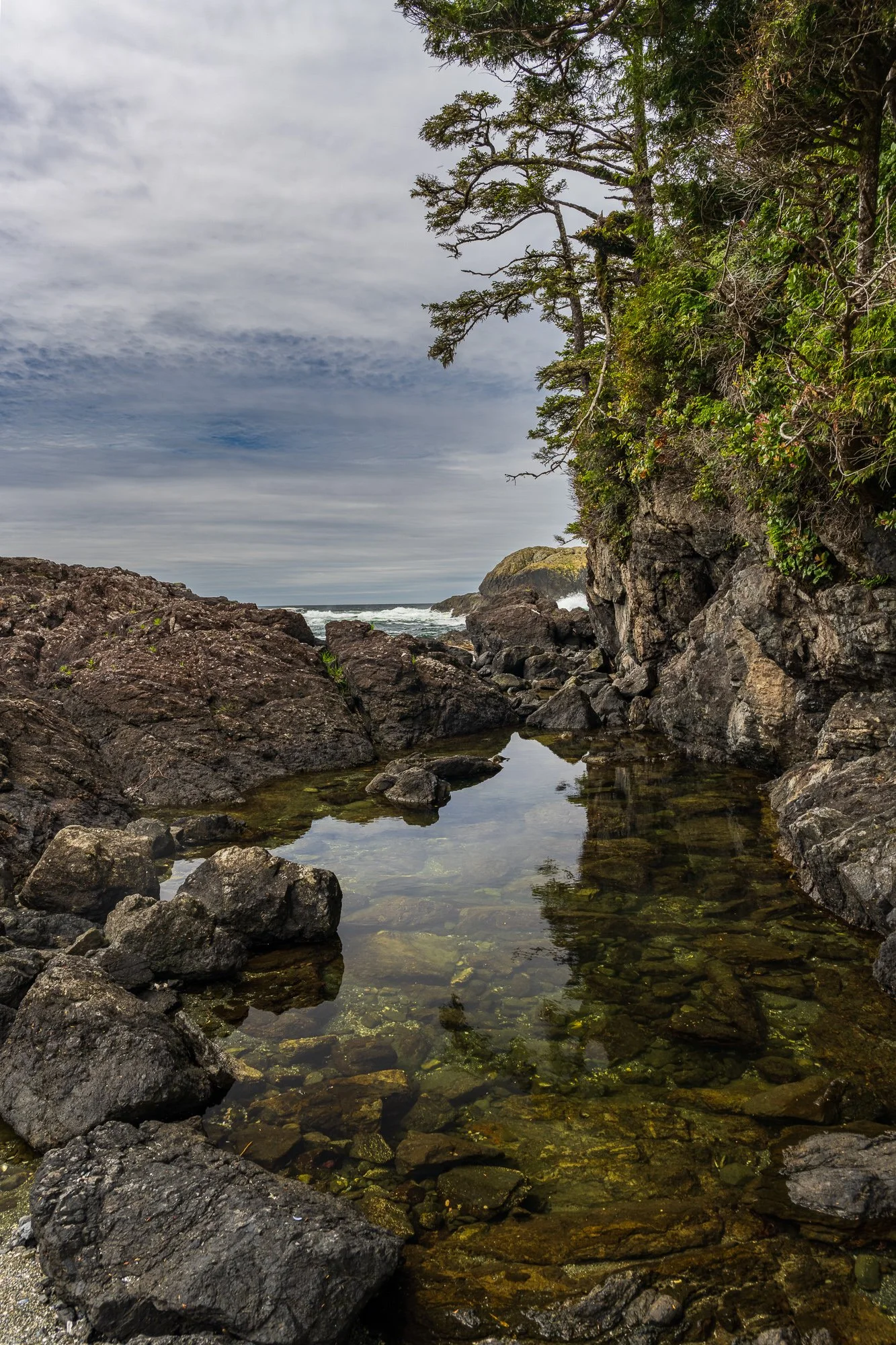
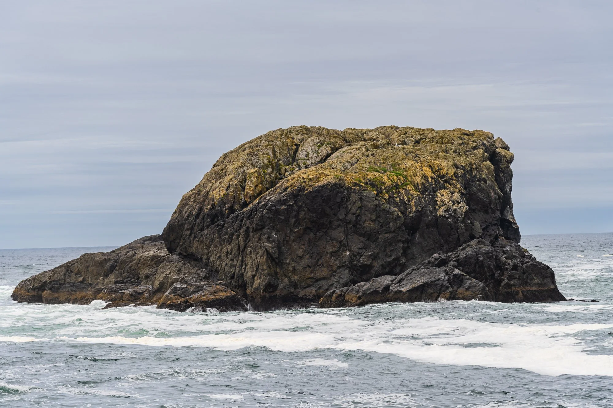
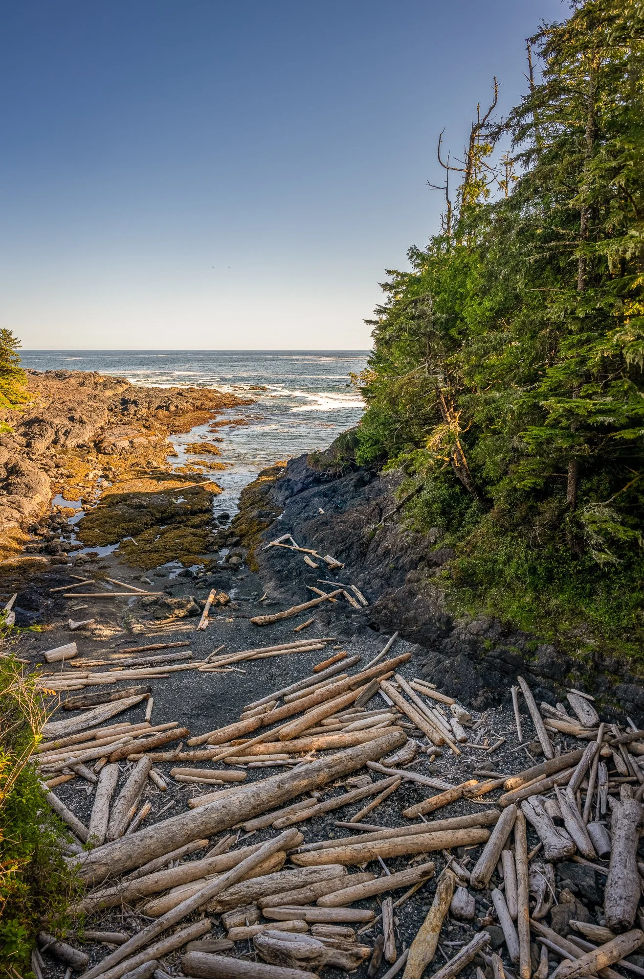
After crossing a forest, wetland sections with and without boardwalk, and some steep wooden stairs down the slope, we came to the sandy South Beach. It offers a nice views of the ocean, islands, and giant rock formations. We walked on the pebbles along the shoreline to enjoy the views of the changing landscape by the small islands in the ocean and the ocean wave pounding on the rocks.

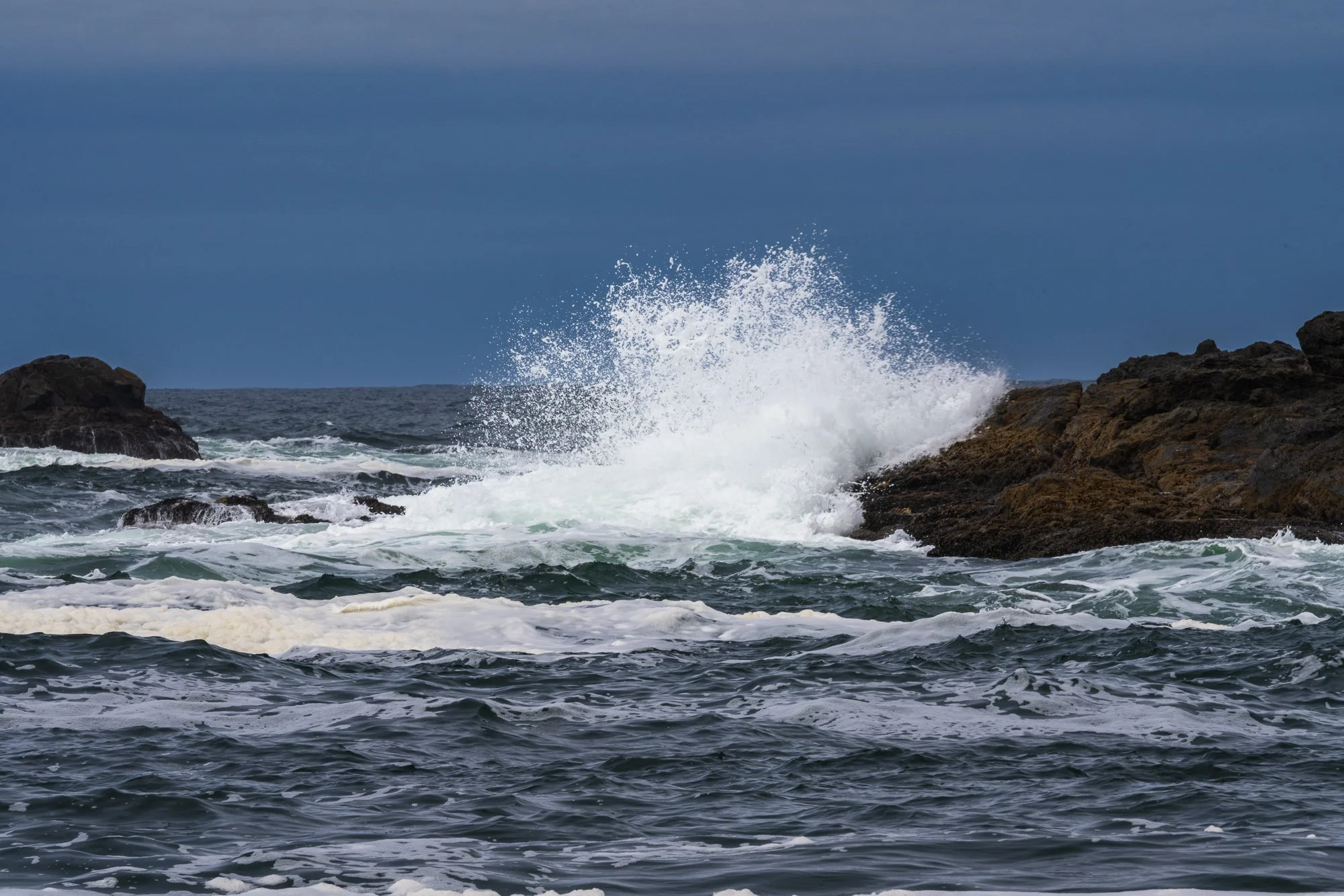
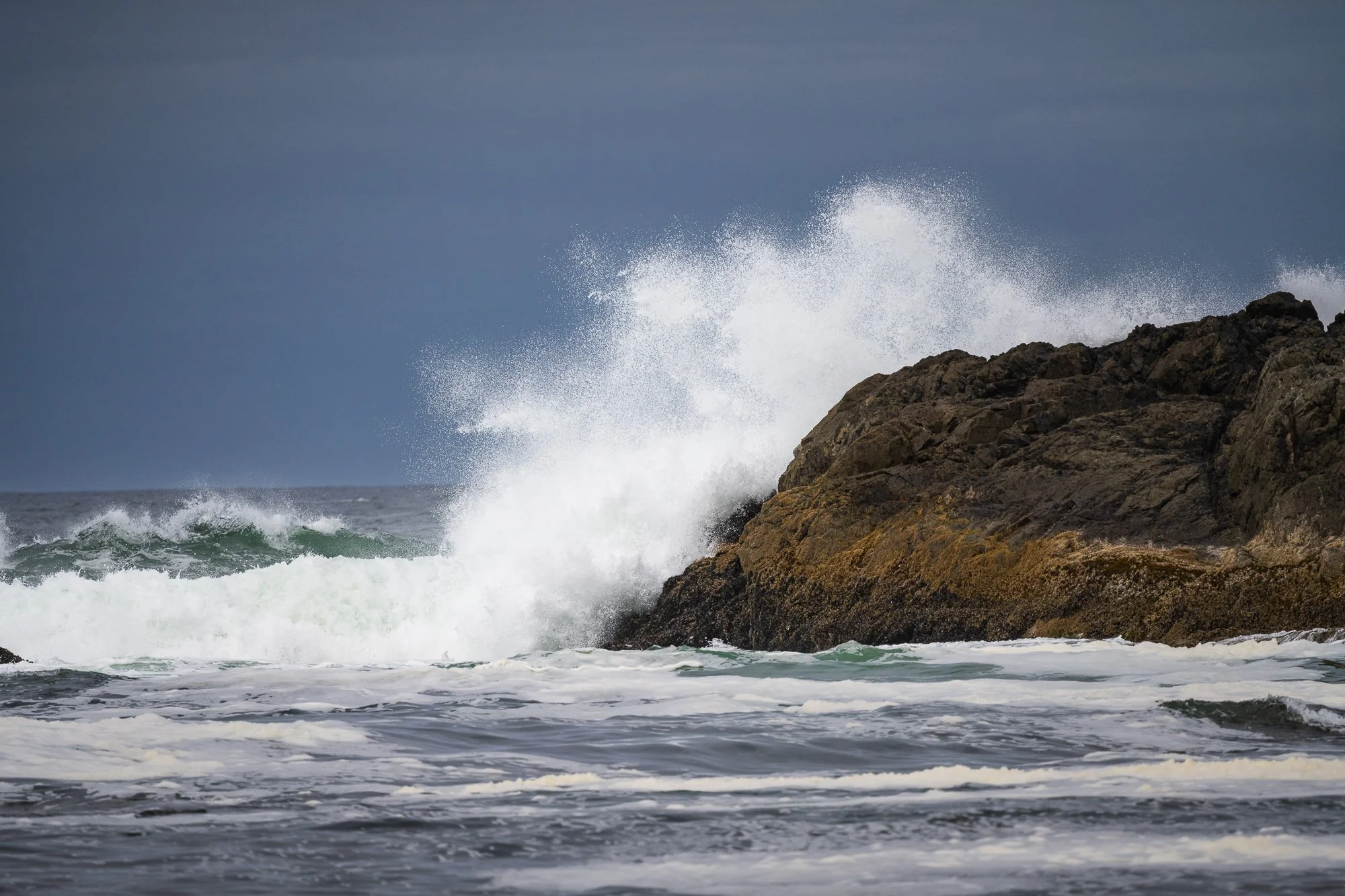
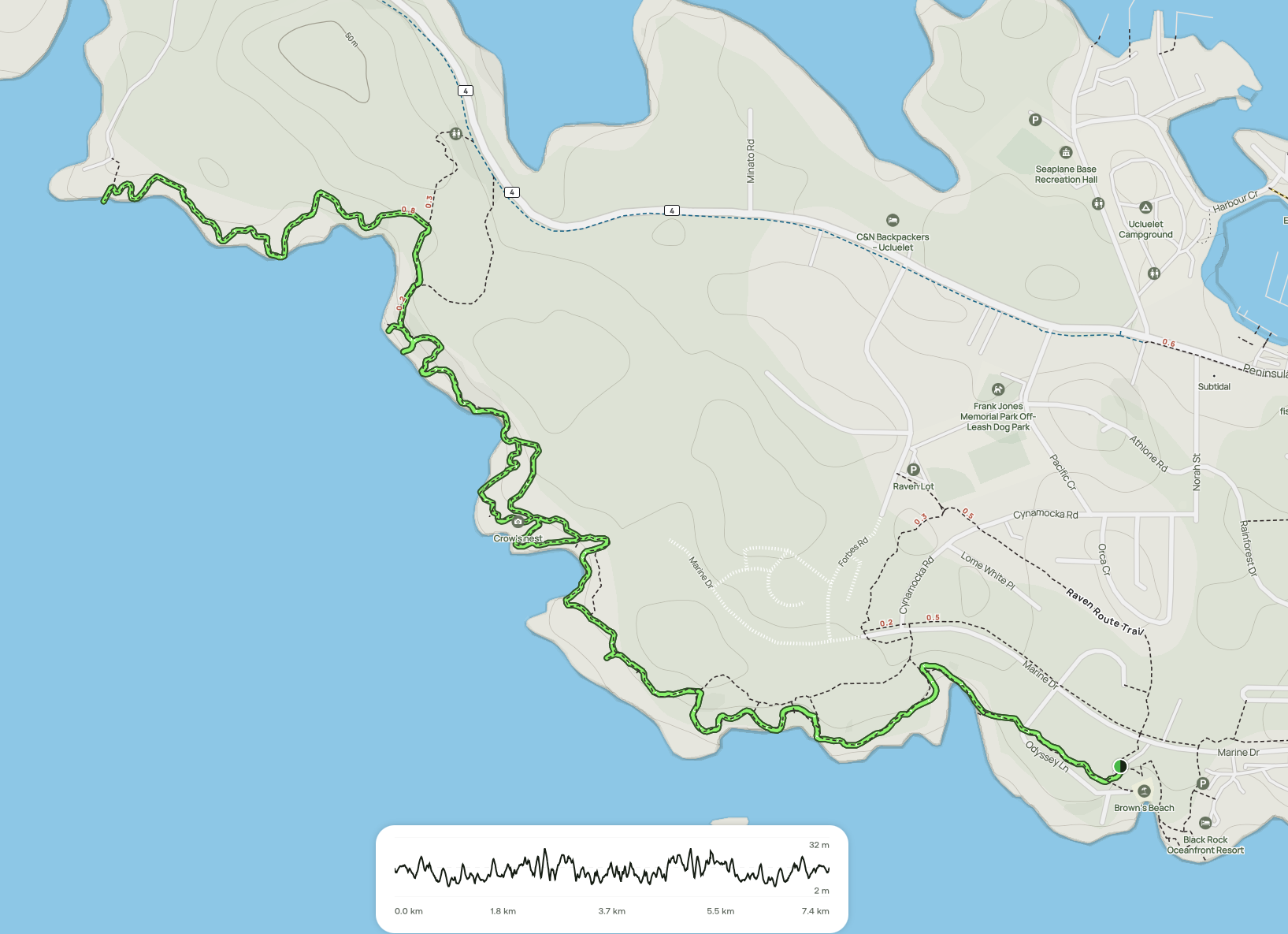
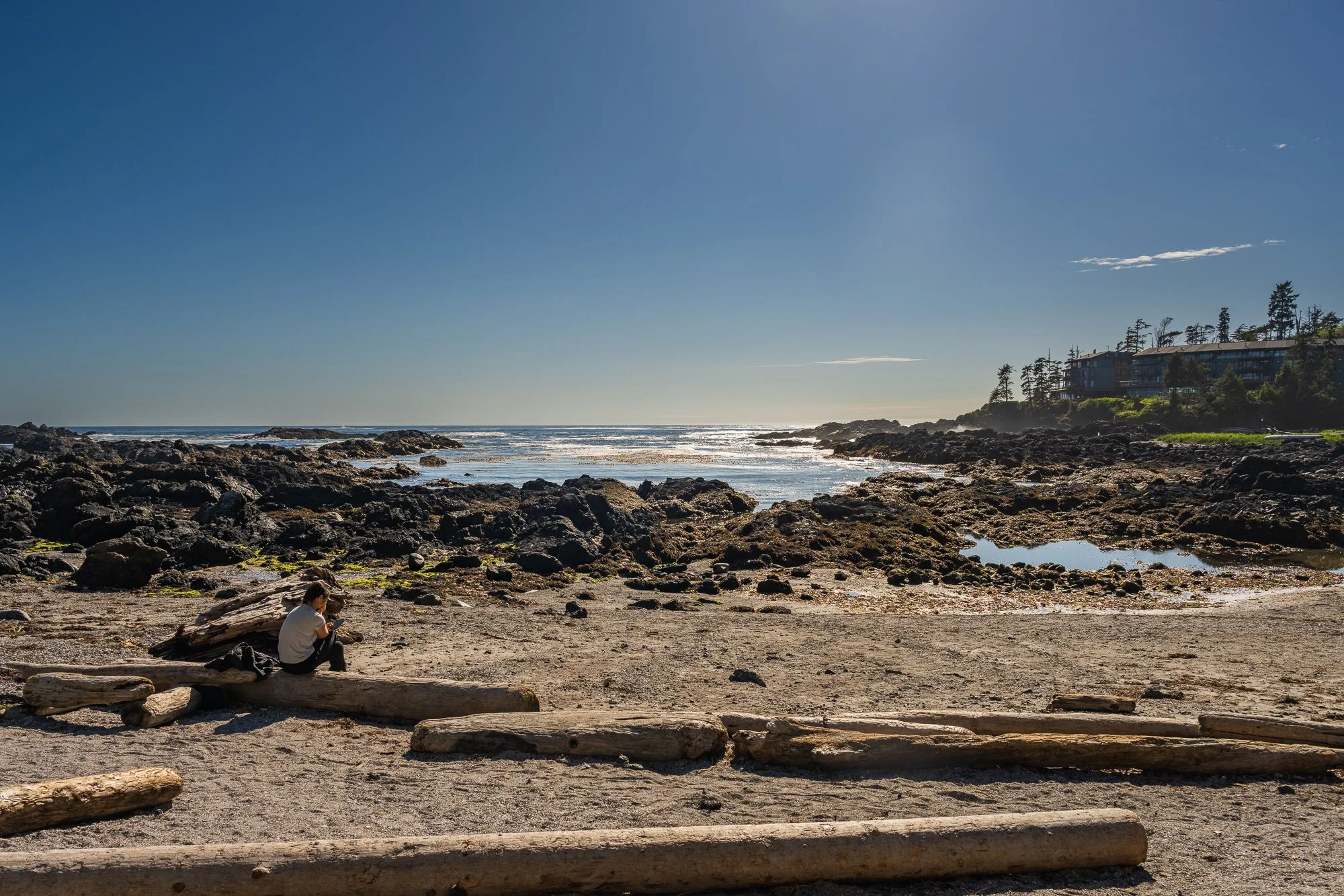
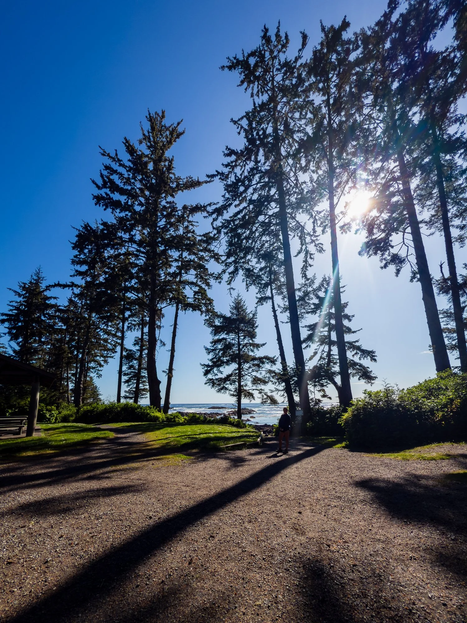
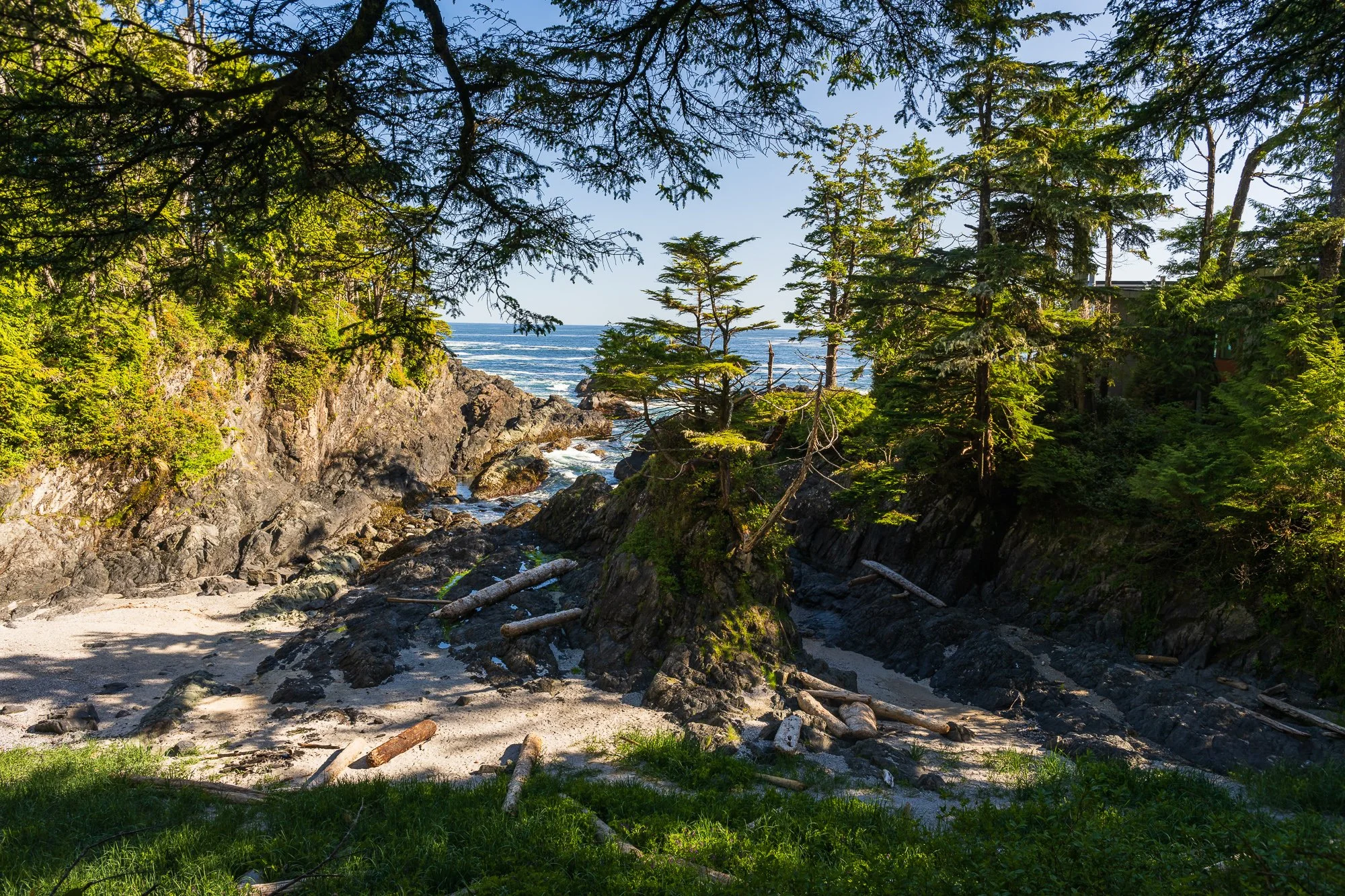
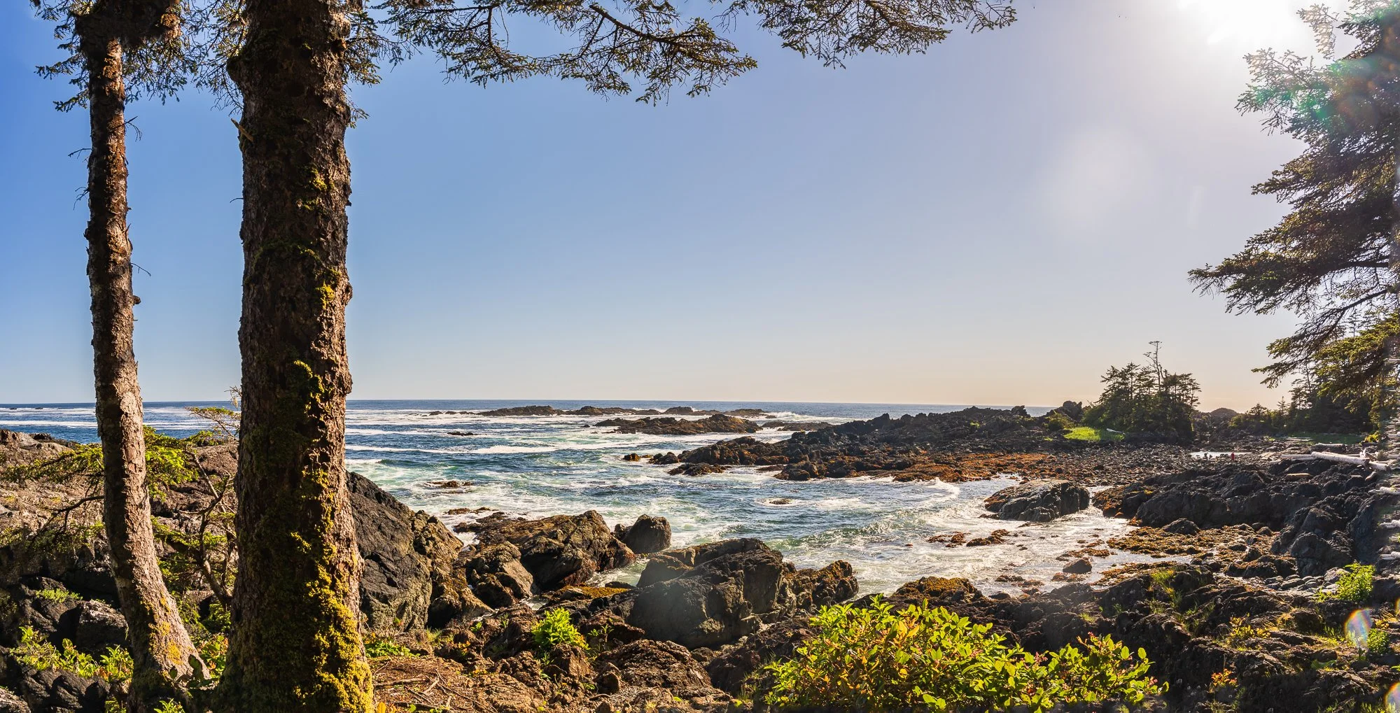
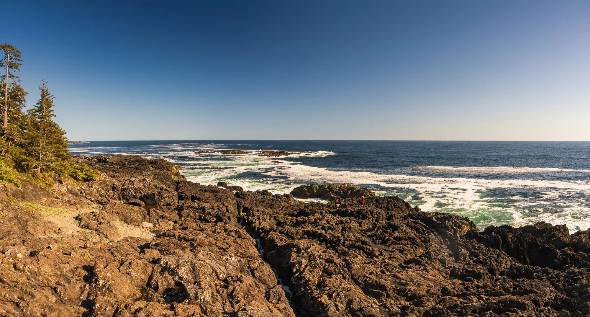
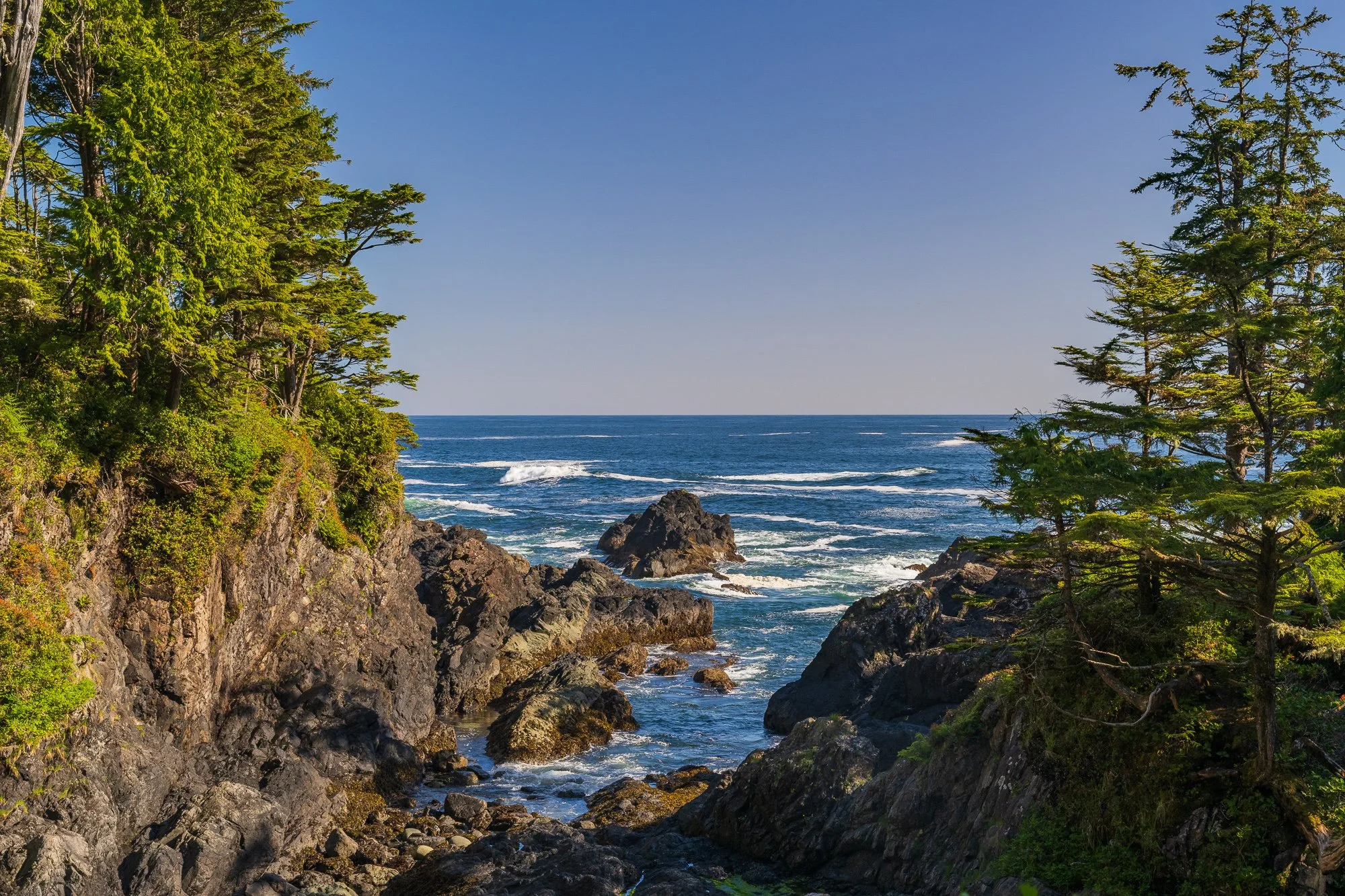
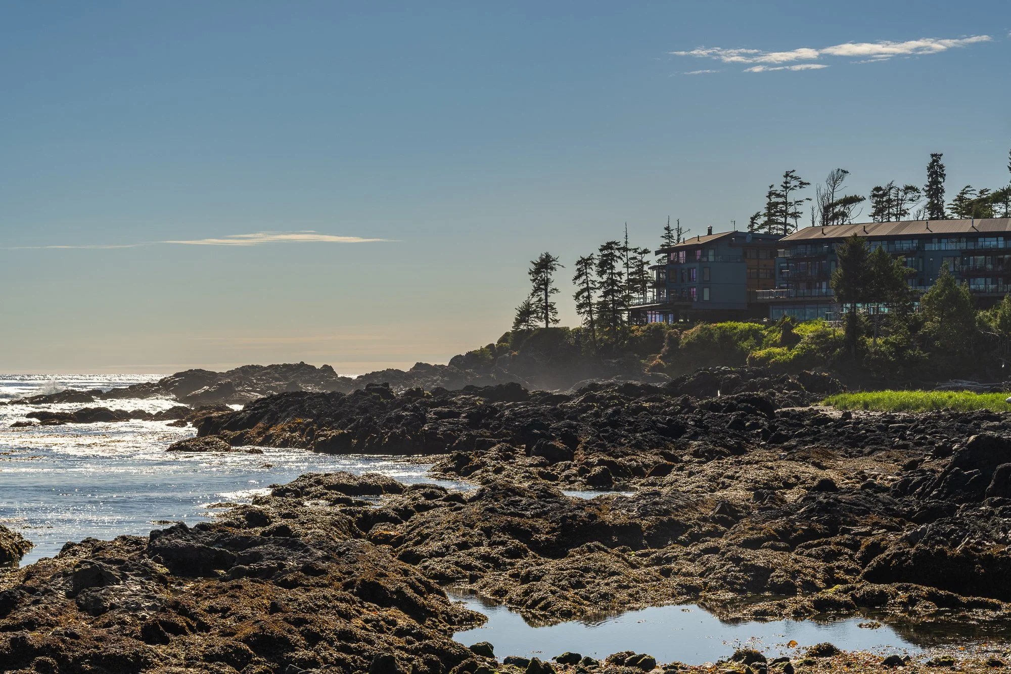
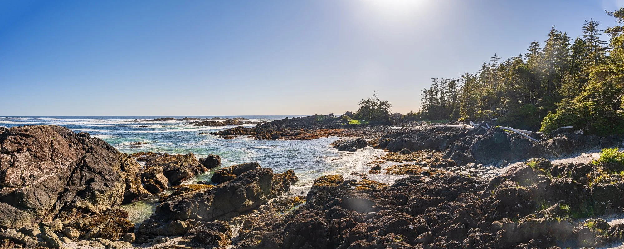
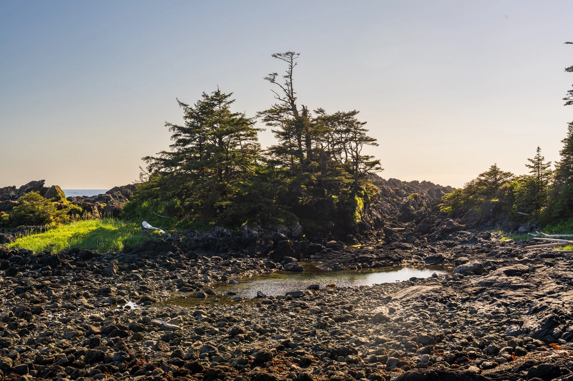
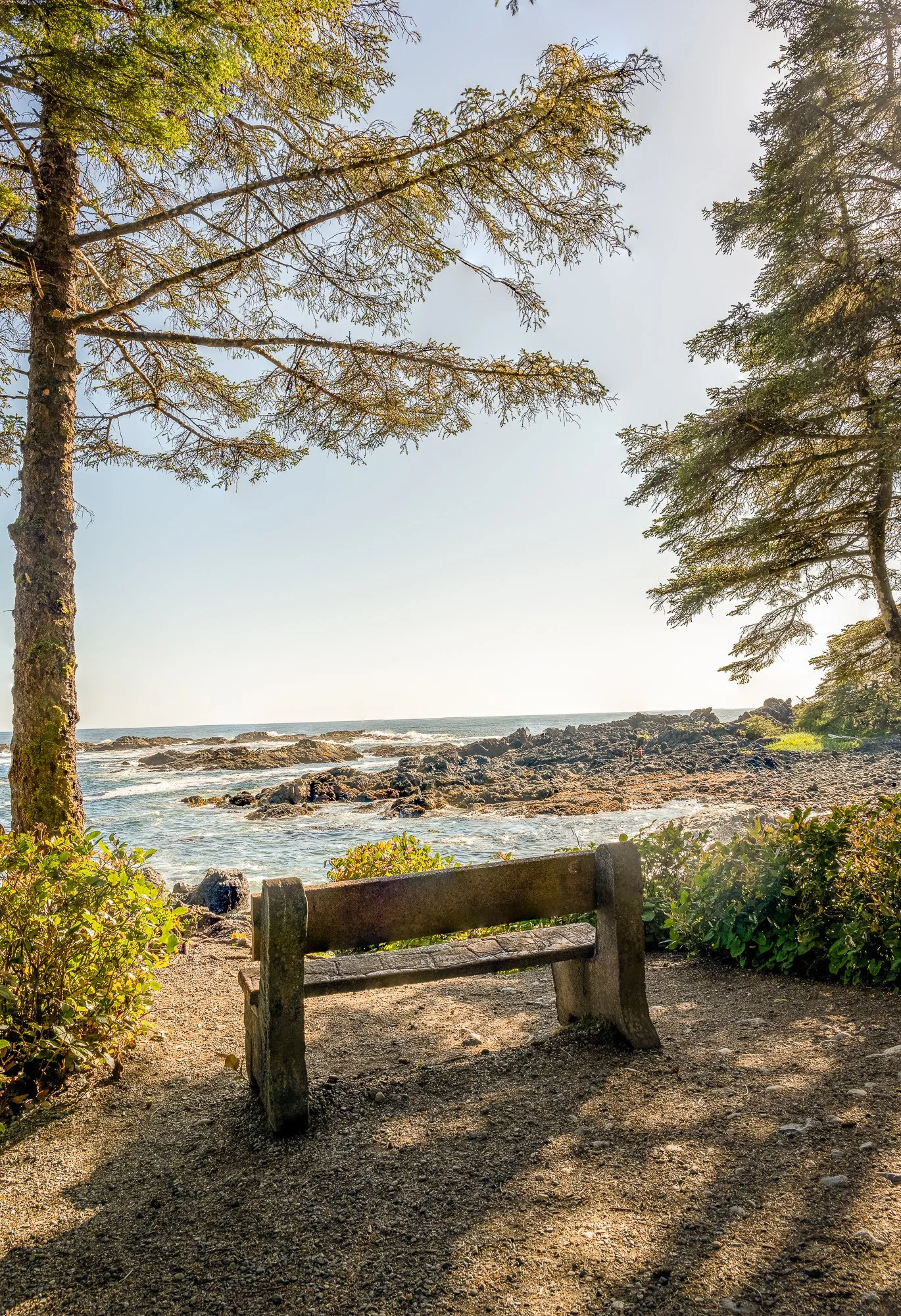
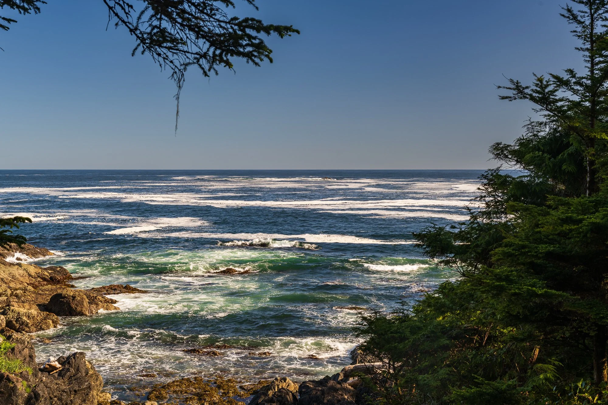
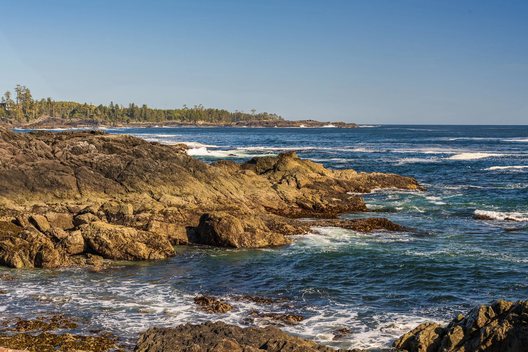
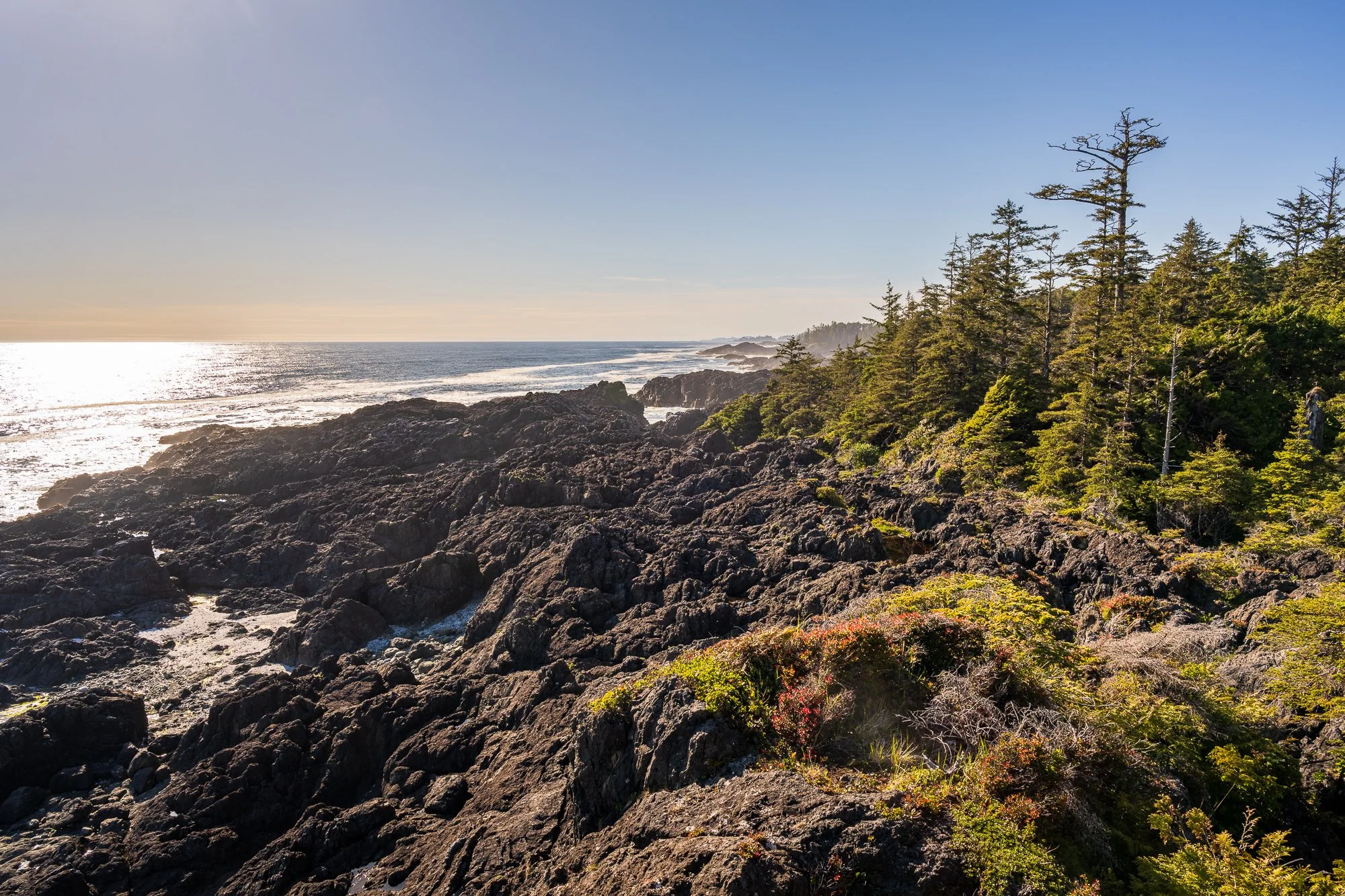
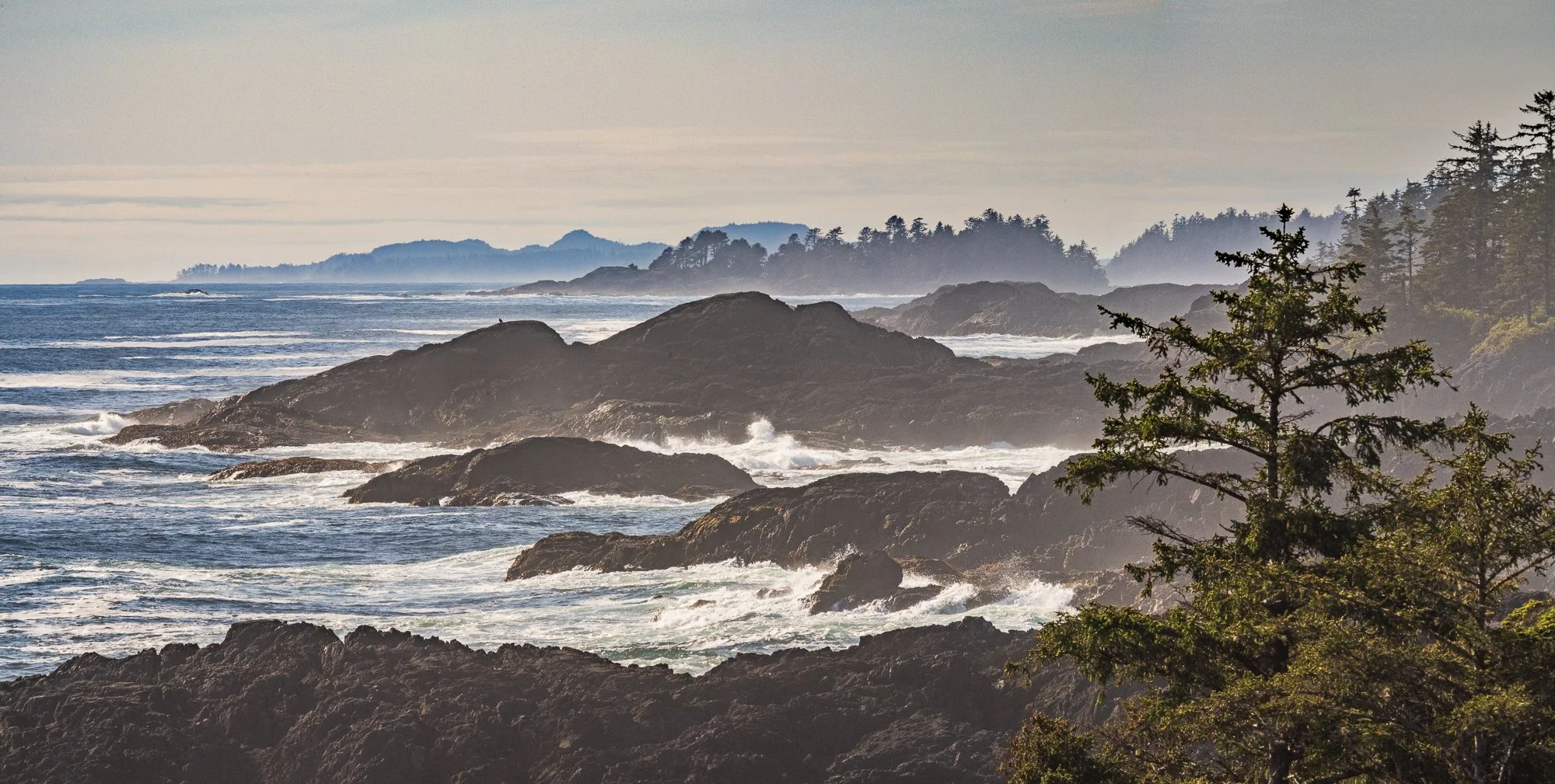
Wild Pacific Trail: Brown’s Beach to Rocky Bluffs
We enjoyed the Wild Pacific Trail - Lighthouse Loop section so much, we decided to complete the second section - Brown’s Beach to Rocky Bluffs (7.4 km, easy, out & back). If interested, please see our itinerary that covers the previous hike of the Lighthouse Loop. It takes average 1 hour 38 minutes to complete but we almost double that time as we lingered too long to take photos. The gravel trail is very well maintained with a lot of overlook decks built along the coastline with fantastic views.
In several sections, there are alternative small-distance “Artist Loops” branching out of the main trail, so many varieties to explore and it made us feel we are in the mid of a giant maze.
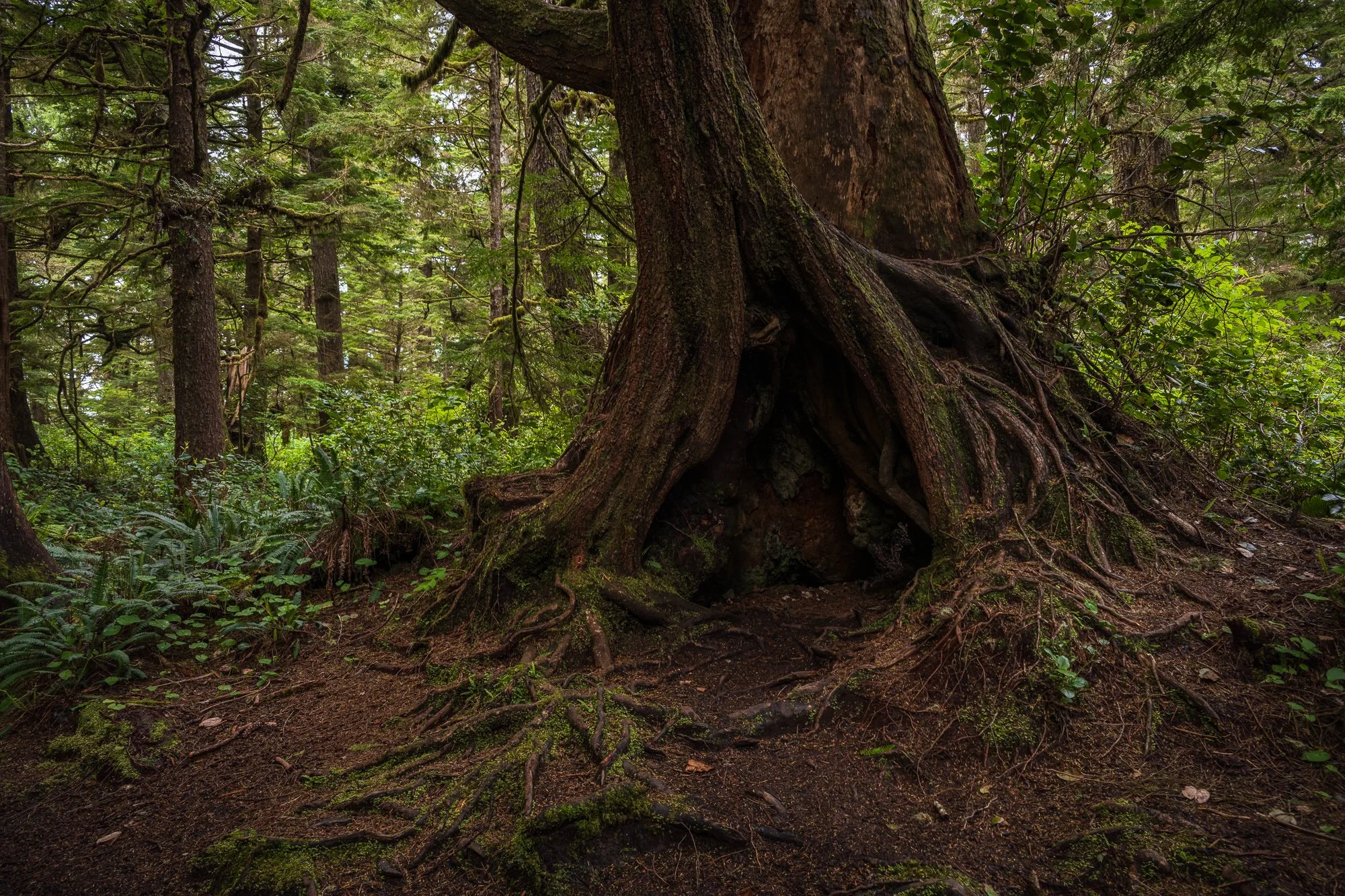
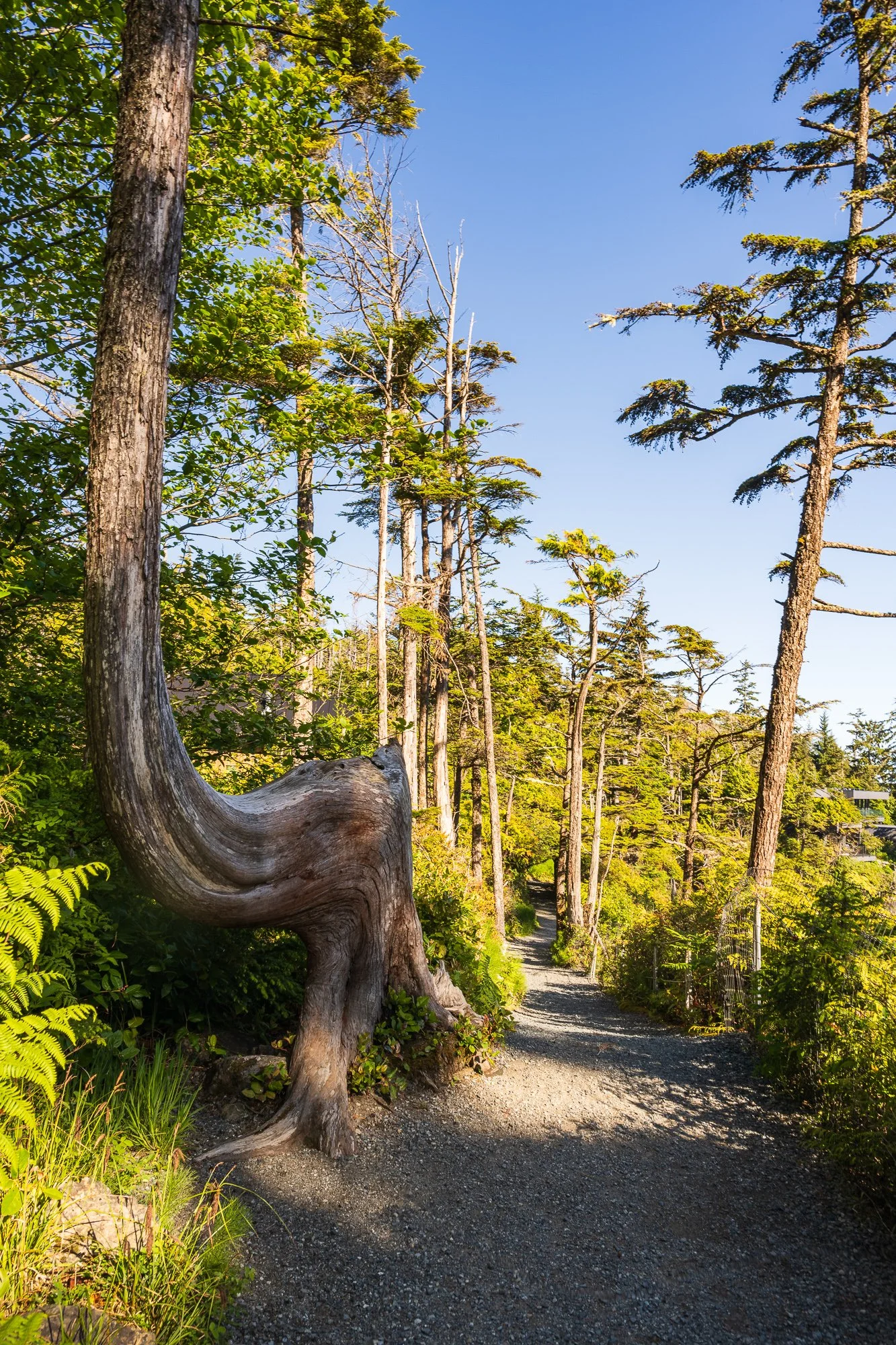
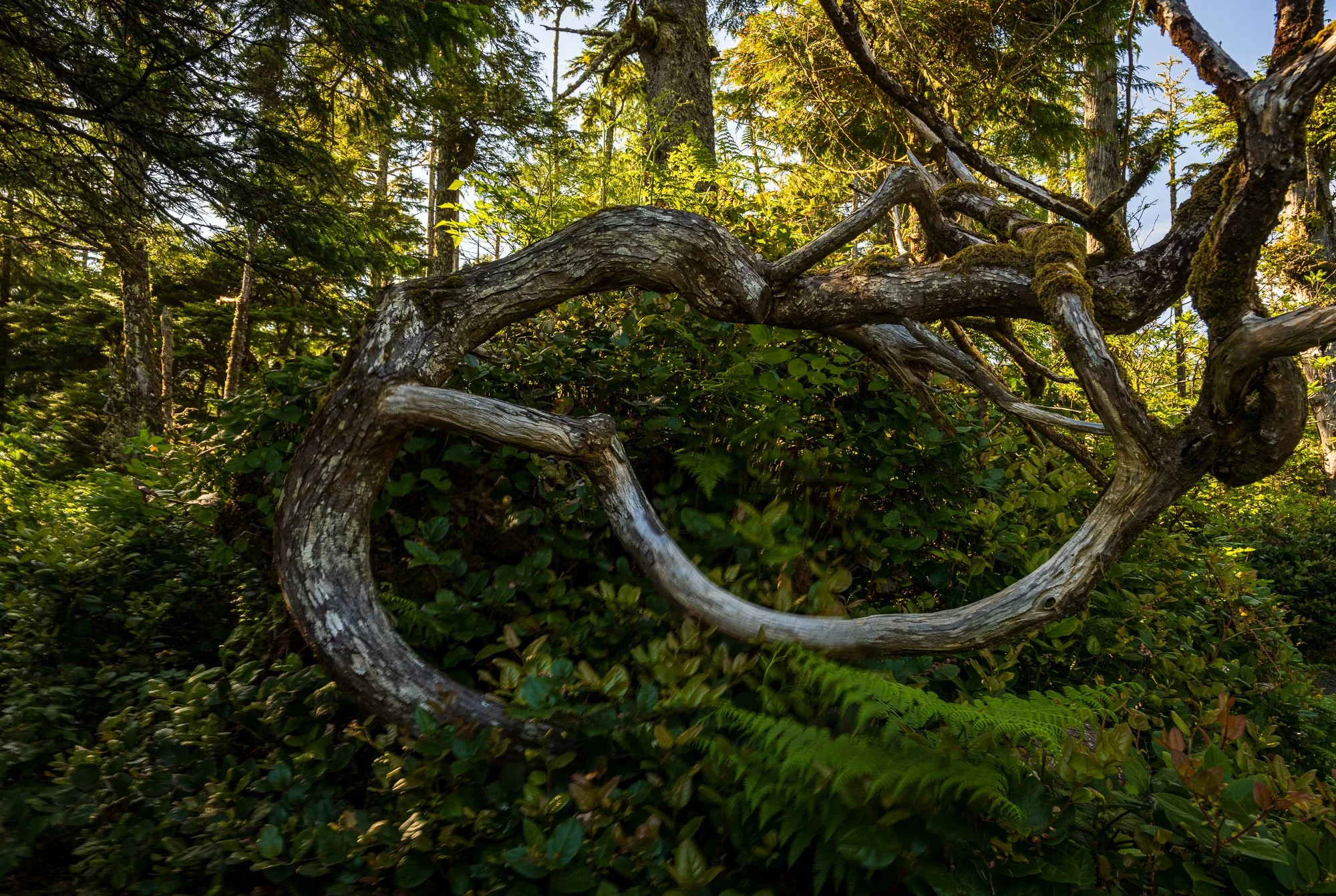
A section of Ancient Cedars Loop trail (0.8 km, easy, loop) overlaps with the Wild Pacific Trail. There is a tiny parking lot at off the Highway 4 but can get really busy. The trail showcases old-growth Sitka spruce, western hemlock, and giant red cedars.
Rocky Bluffs is a fantastic place for storm watching as even during a calm day as during our visit, deep ocean waves pounds the rocks and creates loud roaring sound.
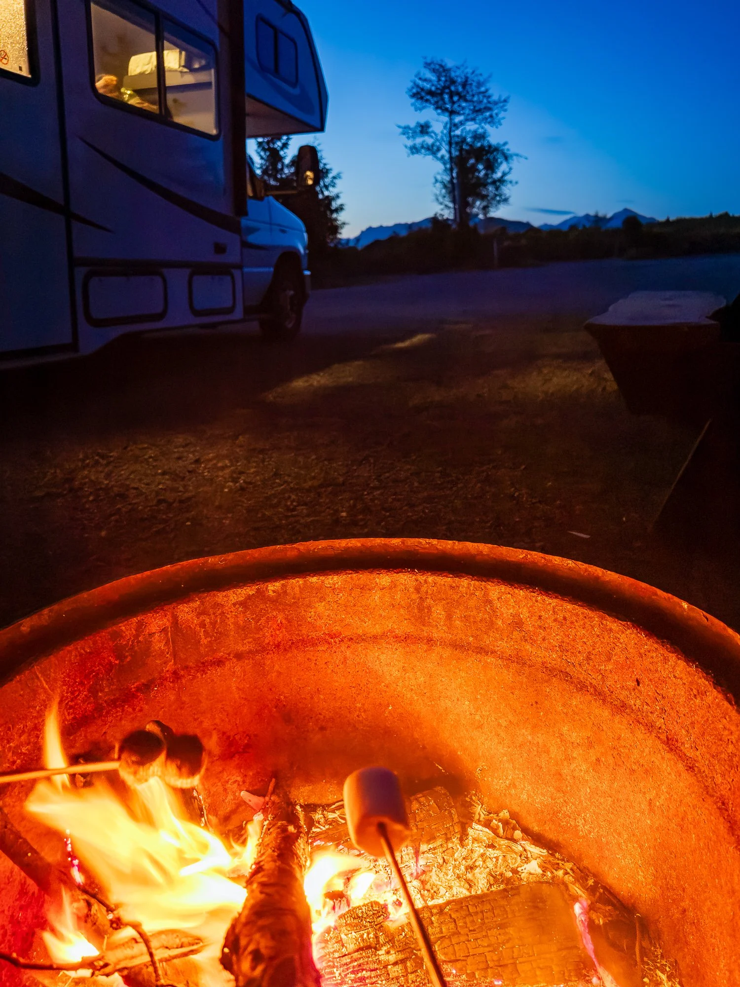
We were planning to visit Long Beach as our last stop of the day, but as it got too late of the day by the time we completed the trail, we headed back to our RV park and called it a day.
We were planning to visit Long Beach as our last stop of the day, but as it got too late of the day by the time we completed the trail, we headed back to our RV park and called it a day.