Florida Keys
The Florida Keys are a coral cay archipelago off the southern coast of Florida, forming the southernmost part of the continental U.S. They begin at the southeast coast of the Florida peninsula, about 15 miles south of Miami, stretching 126 miles south toward Cuba. The islands lie along the Florida Straits, diving the Atlantic Ocean to the east from the Gulf of Mexico to the northwest. Key West is the westernmost of the inhabited island. The uninhabited Dry Tortugas islands, 68 miles west of the Key West, is the westernmost and most isolated of the Florida Keys.
The Overseas Highway (U.S. Highway 1) runs from the mainland to Key West, connecting all of the main islands and is one of the longest overwater roads in the world, with 42 bridges, including Seven Mile Bridge. Completed in 1938, the highway was built over the route of the Florida East Coast Railway, finished in 1912 by financier and developer Henry M. Flagler and destroyed by the 1935 hurricane.
Many of the keys fall within the boundaries of three national parks. Biscayne National Park includes several of the northernmost keys, and most of the keys in Florida Bay are within Everglades National Park. Dry Tortugas National Park, which preserves historic Fort Jefferson, encompasses all of the westernmost Dry Tortugas islands. The keys are protected by the Florida Keys National Marine Sanctuary, established in 1990, which covers an area of some 3,600 square miles. Much of the northern area of the lower keys has been designated the Great White Heron National Wildlife Refuge, and (Big Pine Key) National Key Deer Refuge is located immediately west of Key West.
The Florida Keys are home to a wide variety of plant and animal life. Mangroves, sea grasses, and coral reefs are abundant. Animals such as alligators, sea turtles, and the endangered manatee can be found there, and more than 600 species of fish live in the reefs.
“Key” is derived from the Spanish word Cayo, meaning small island.
Population: 82,874 (2020 census), with 32% is concentrated in Key West.
Reference: Wikipedia, Britannica
Major Islands
the islands are listed in order from the southwest to the north. Mile markers are listed for keys that Overseas Highway runs across or near.
Lower Keys
Key West (MM 0-4)
Sigsbee Park (off to the north at MM 2¾)
Stock Island (MM 5)
Raccoon Key (off to the north at MM 5¼)
Boca Chica Key (MM 7-8)
Rockland Key (MM 9)
East Rockland Key (MM 9½)
Big Coppitt Key (MM 10)
Geiger Key (off to the south at MM 10¾)
Shark Key (off to the north at MM 11¼)
Saddlebunch Keys (MM 12-16)
Lower Sugarloaf Key (MM 17)
Park Key (MM 18)
Sugarloaf Key (MM 19-20)
Cudjoe Key (MM 21-23)
Summerland Key (MM 24-25)
Ramrod Key (MM 27)
Middle Torch Key, Big Torch Key ( MM 27¾)
Little Torch Key (MM 28½)
Big Pine Key (MM 30-32)
Scout Key (MM 34-35)
Bahia Honda Key (MM 37-38)
Ohio Key (MM 38¾), also known as Sunshine Key
Missouri Key (MM 39¼)
Little Duck Key (MM 39¾)
Reference: Wikipedia
Middle Keys
The Seven Mile Bridge (MM 40-46.75 ) separates the Lower Keys from the Middle Keys
Pigeon Key (off to the north near MM 45; access is at MM 46¾)
Knights Key (MM 47)
Vaca Key (MM 48-53)
Boot Key (off to the south at MM 48; bridge closed)
Fat Deer Key (MM 53¼-55)
Shelter Key (off to the south at MM 53¾)
Long Point Key (MM 56)
Crawl Key (MM 56½)
Grassy Key (MM 58-60)
(Knights, Vaca, Boot, Long Point, Crawl, and Grassy Keys, as well as most of Fat Deer Key, are incorporated in the city of Marathon. The remaining portion of Fat Deer Key and most of Shelter Key are part of Key Colony Beach.):
Upper Keys
The Long Key Bridge (MM 63¼-65¼) separates the Middle Keys from the Upper Keys
Long Key (MM 66-70), formerly known as Rattlesnake Key
Fiesta Key (off to the north at MM 70)
Craig Key (MM 72)
Lower Matecumbe Key (MM 74-77)
Indian Key Fill (MM 79)
Tea Table (MM 79½)
Upper Matecumbe Key (MM 80-83)
Windley Key (MM 85)
Plantation Key (MM 86-90)
(Lower Matecumbe through Plantation Keys are incorporated as Islamorada, Village of Islands. The "towns" of Key Largo, North Key Largo and Tavernier, all on the island of Key Largo, are not incorporated.):
Key Largo (MM 91-107)
“True” Keys
All keys north of Broad Creek are in Biscayne National Park and Miami-Dade County (exposed ancient coral reefs):
“Transitional” Keys
The following are "transitional keys", made of exposed ancient reef surrounded by sand:
Key Biscayne is not one of the Florida Keys, but the southernmost of the barrier islands along the Atlantic coast of Florida.
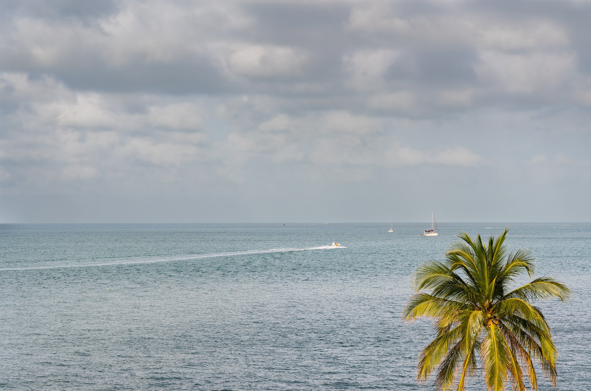
Our visit
Date: March 5, 2024
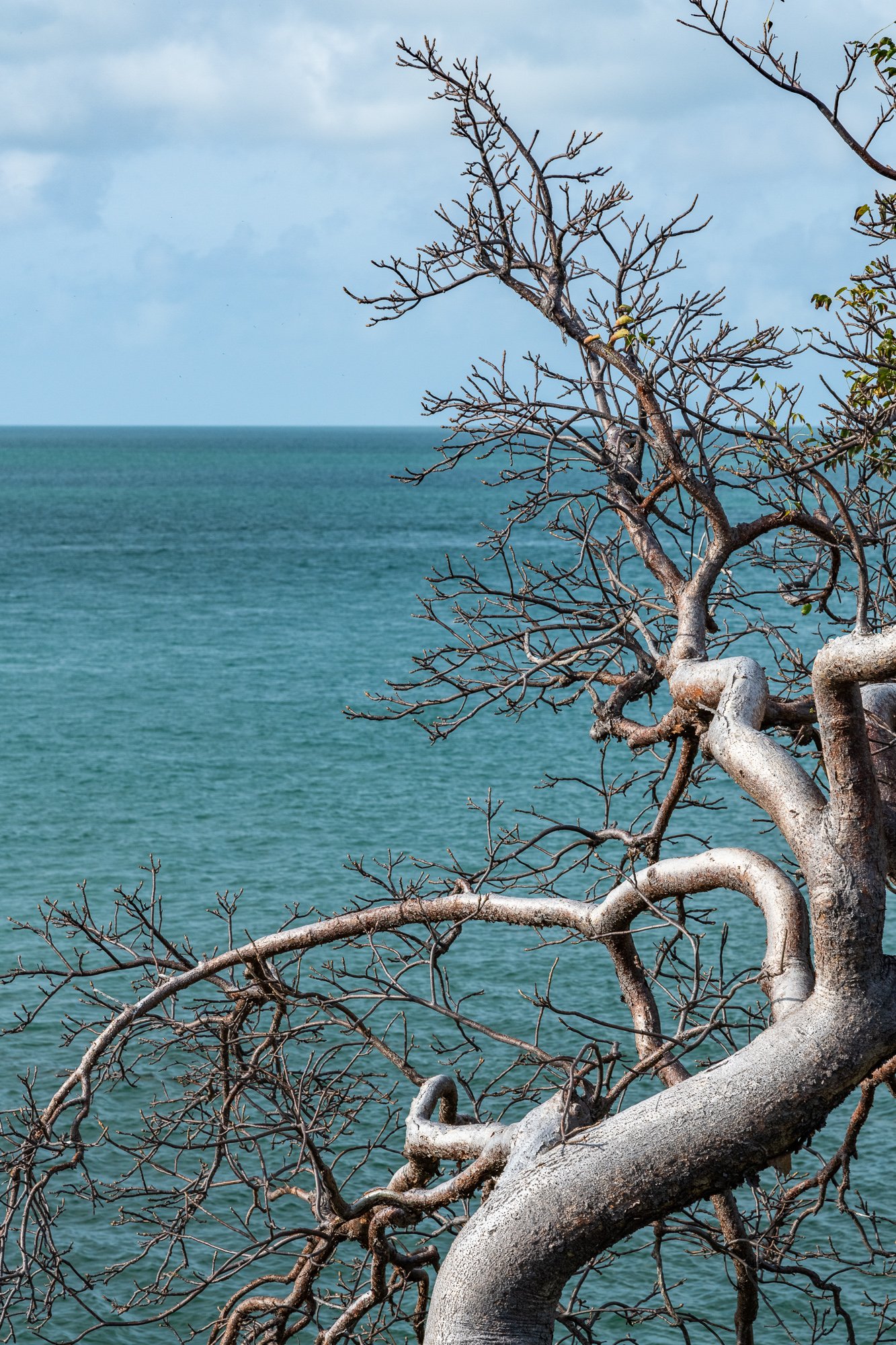
We drove through the keys in a single day, starting in the morning from Ft. Lauderdale. Highly suggest against that idea, reason being too much driving and barely anytime to stop and enjoy. We reached Key West in the middle of the day with only one rest stop, then didn’t even spend too much time on the island due to time pressure, heat, and crowd. But there are still some good memories left out of the trip. We made the following stops (by the order of milage from Key West):
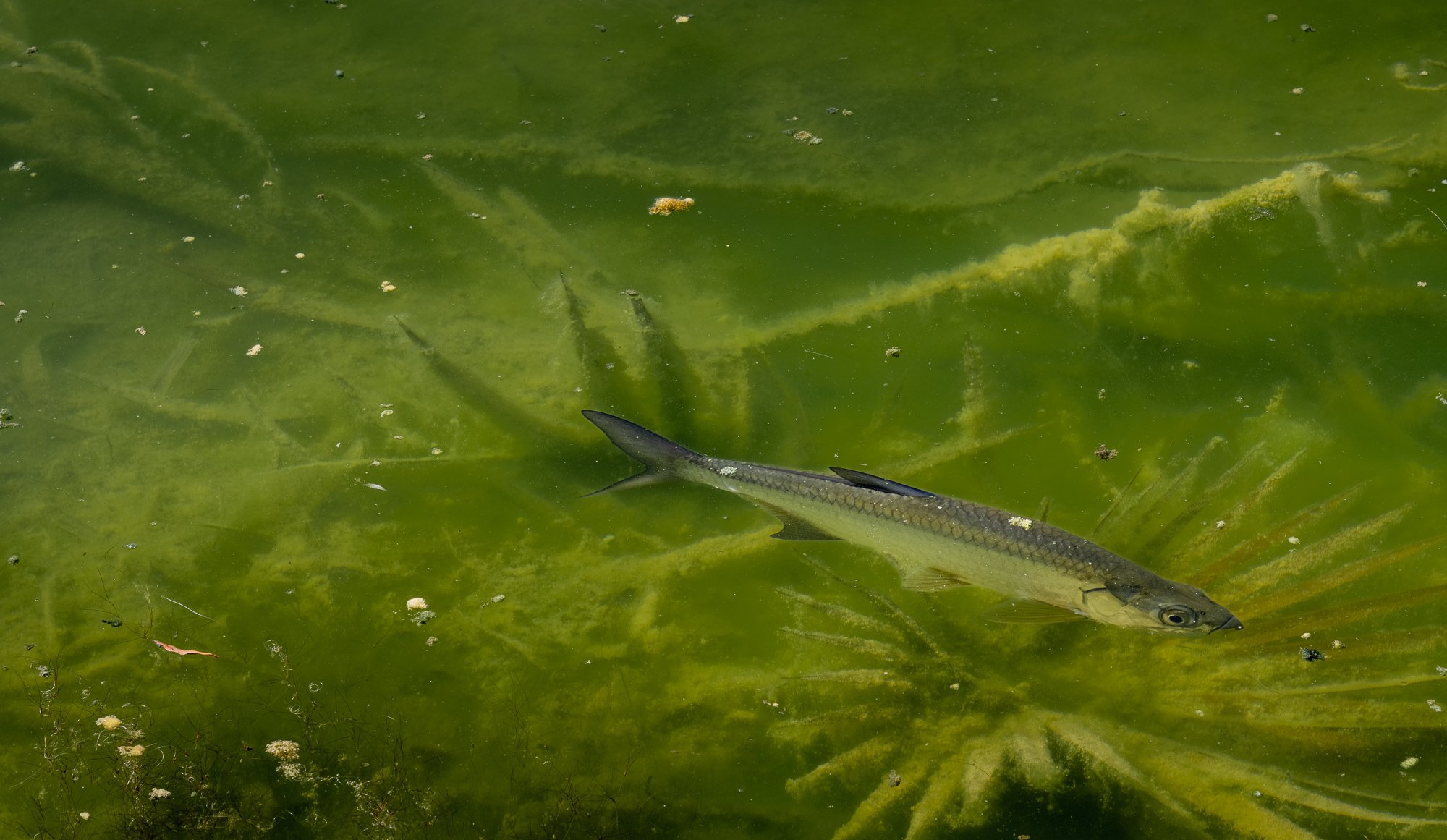
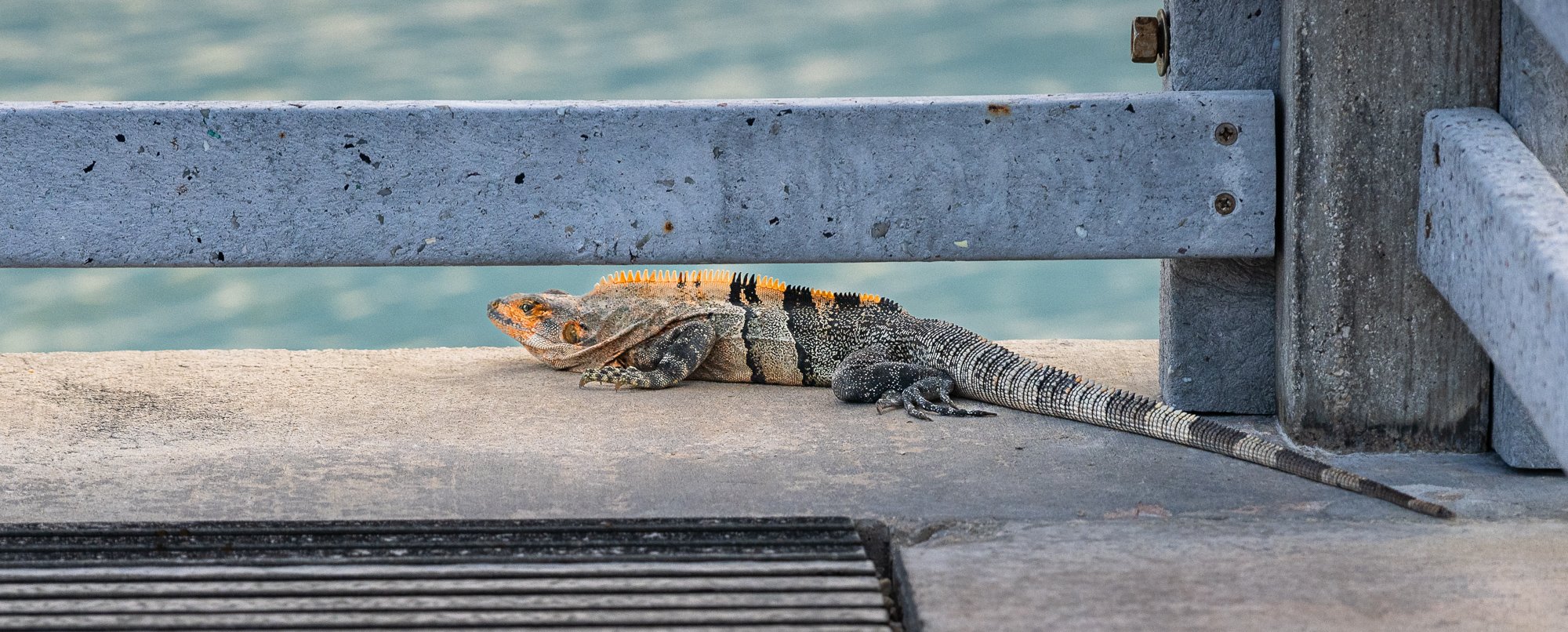
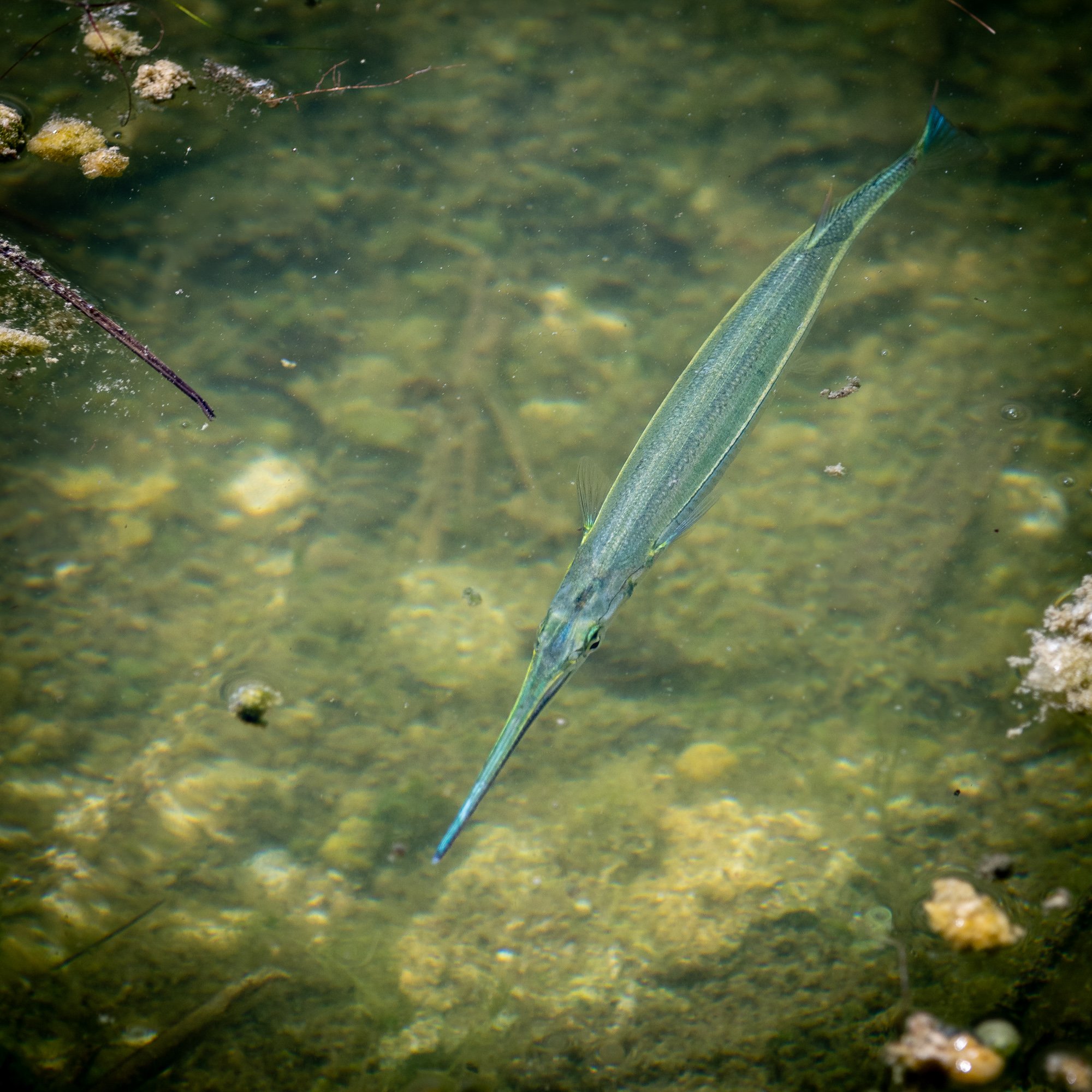
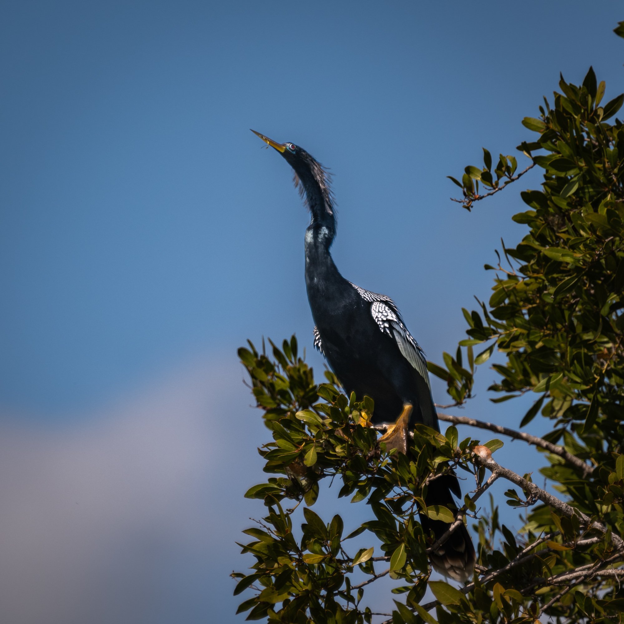
Blue Hole/National Key Deer Refuge: Blue Hole is a small freshwater oasis in the middle of the refuge with tons of wildlife such as alligator.
Bahia Honda State Park: small park with great view of the Bahia Honda Bridge, and beautiful beaches.
Seven Mile Bridge - Vista Point on the east side of end of the bridge, which is also the entrance to the parallel pedestrian bridge. That location provides a good view of the driving bridge.
John Peenekamp Coral Reef State Park: last stop before turn north on U.S. 1 back to Miami.


Wildlife @ Blue Hole / Nation Key Deer Refuge