Day 9 [NC: Mile 99.2 - Mile 117.8] Bearpen Gap/USFS 67 -> Wine Spring Campsite
Date: July 19 7, 2025 (Saturday)
Total Distance: 18.6 miles on AT
We planned to use my son’s summer break to complete Great Smoky section in 5 days, and complete the unfinished NC prior later. However, we totally underestimated how packed his schedule has been with volunteering, internship, SAT Prep, and school projects. Thus we just allocated 3 days to continue our north-bound hike in order.
Mile 99.2 Bearpen Gap
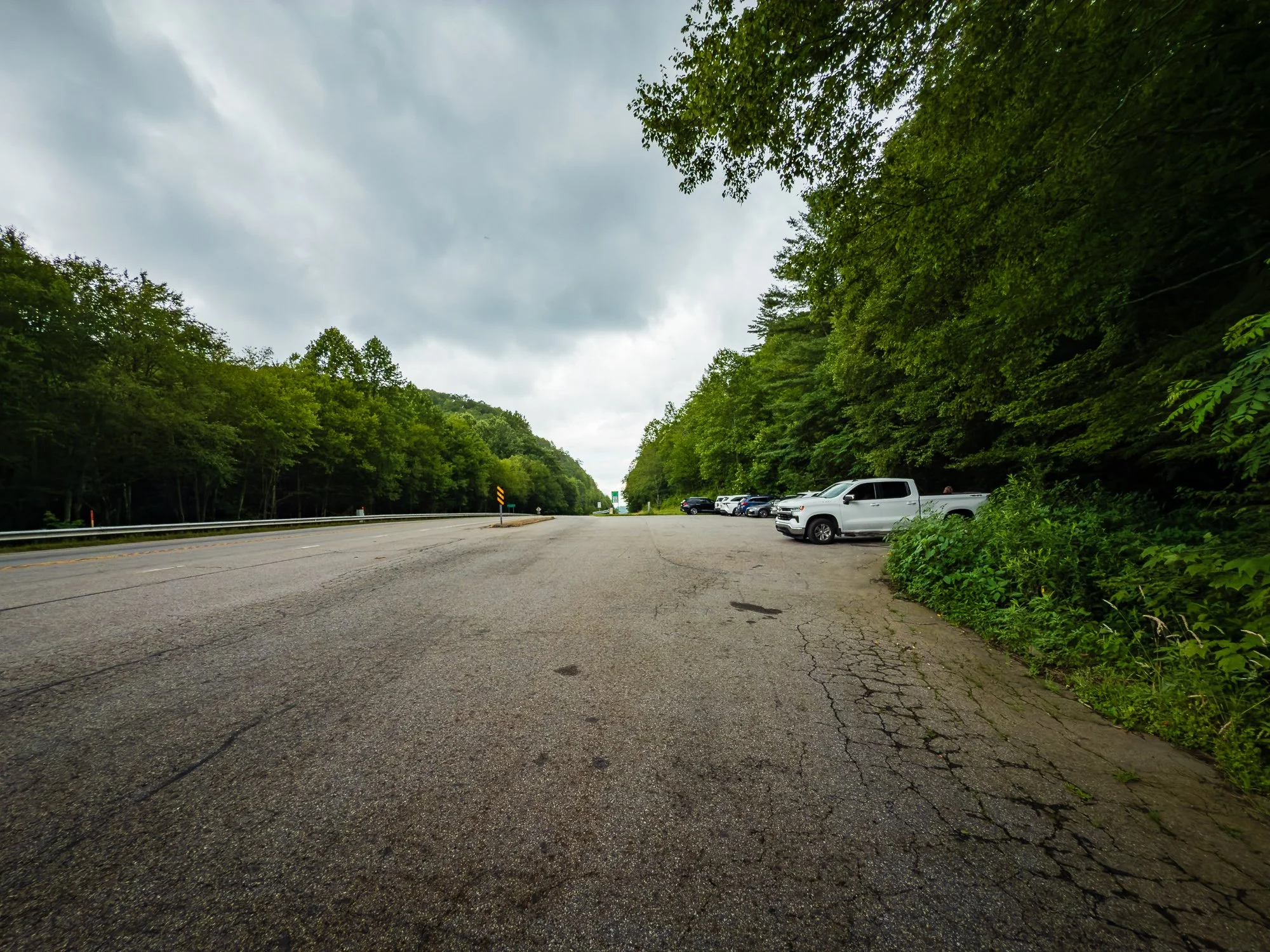
This our day 2 in North Carolina. It is amazing that although we are almost 100 miles northbound on AT, it still took about 2 and half hours to get to the AT, almost the same as to Springer Mountain. We got to where we left off around 9:45AM, and started our climb to the peak of Albert Mountain. It was a steep and rocky one with an elevation of 5,250 ft.


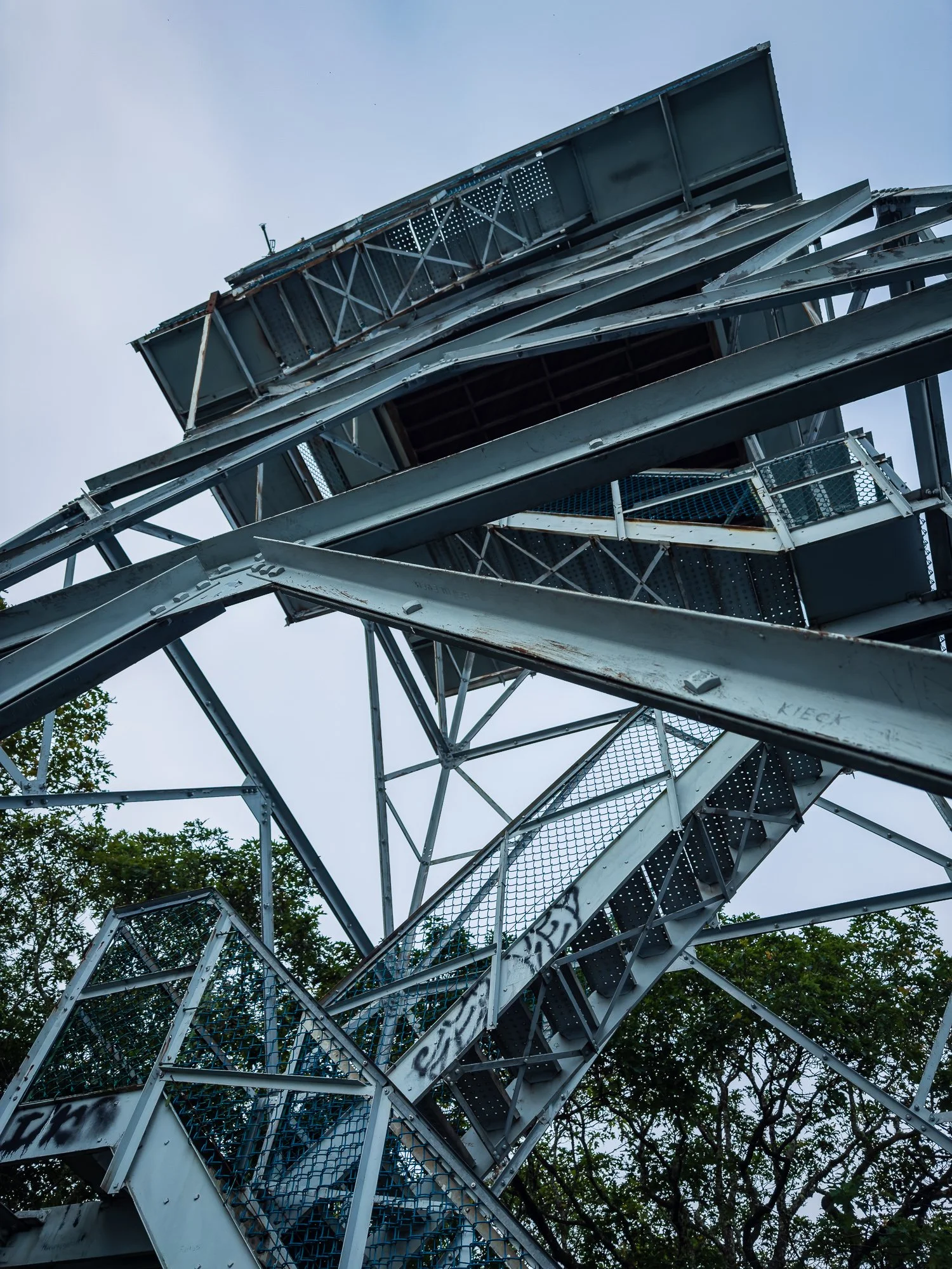
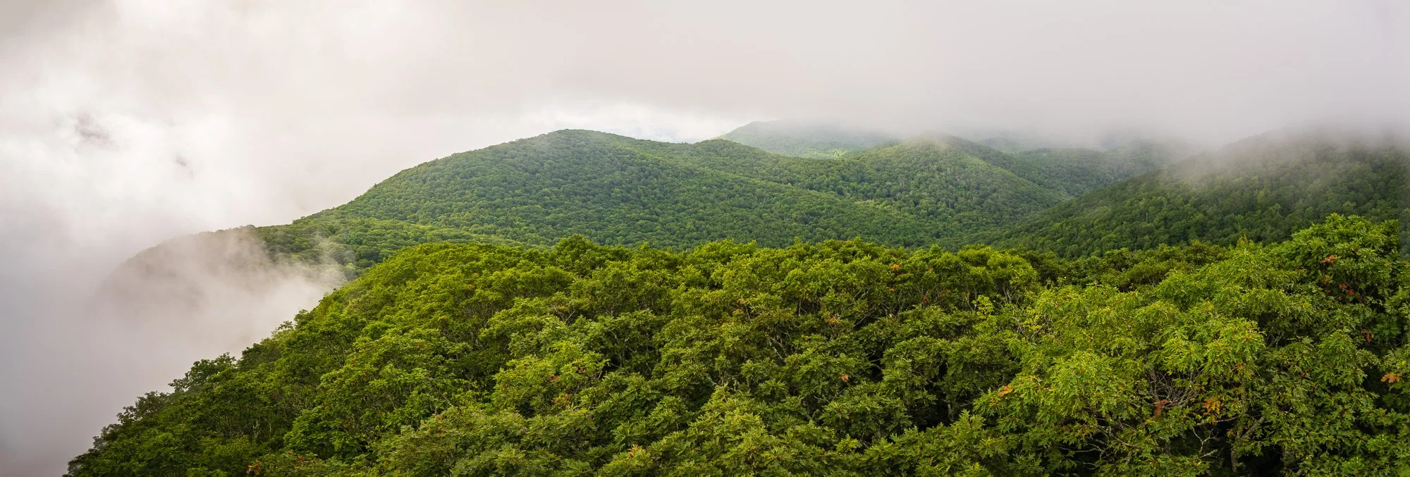
Mile 99.6 Albert Mountain
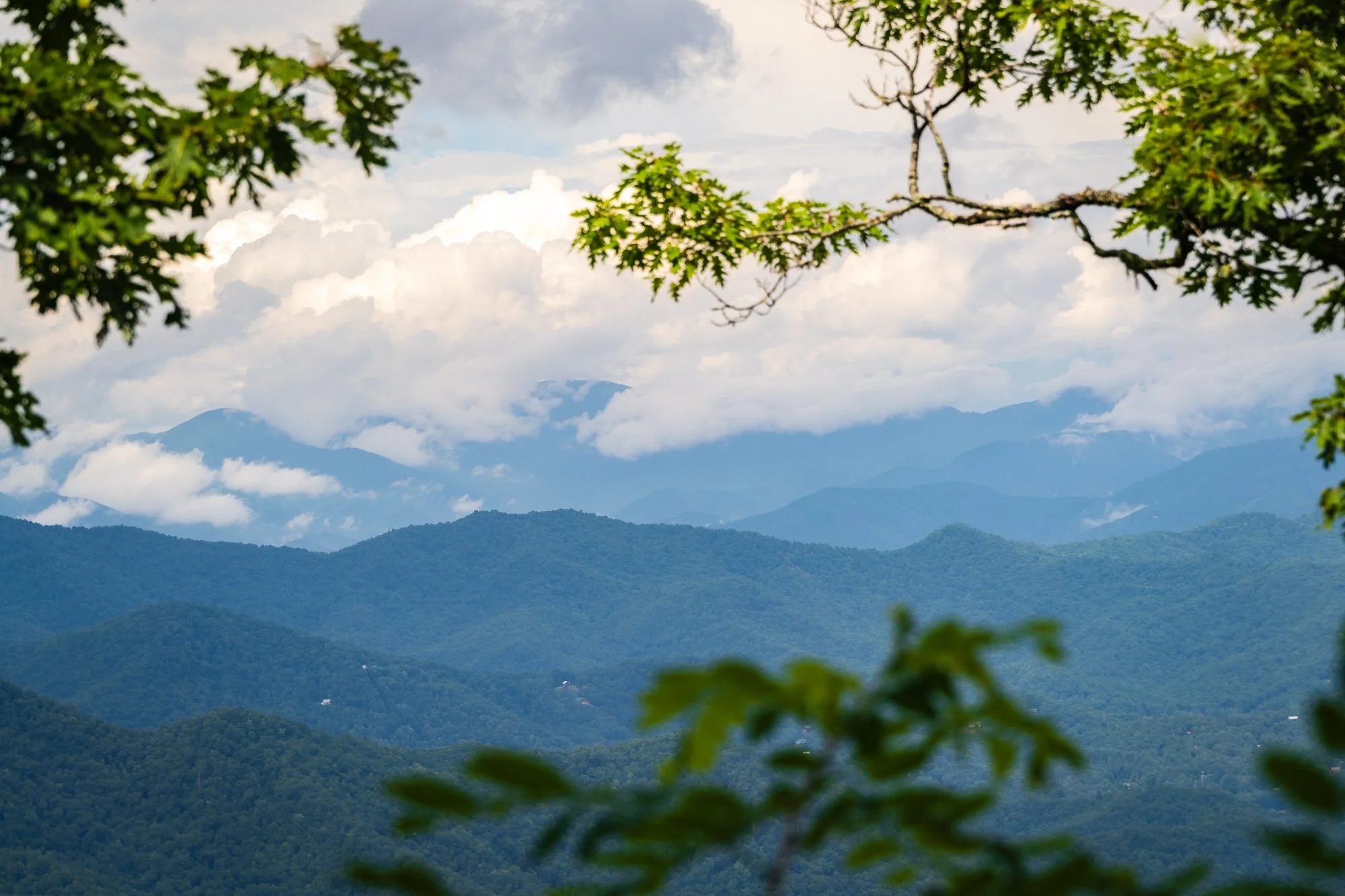
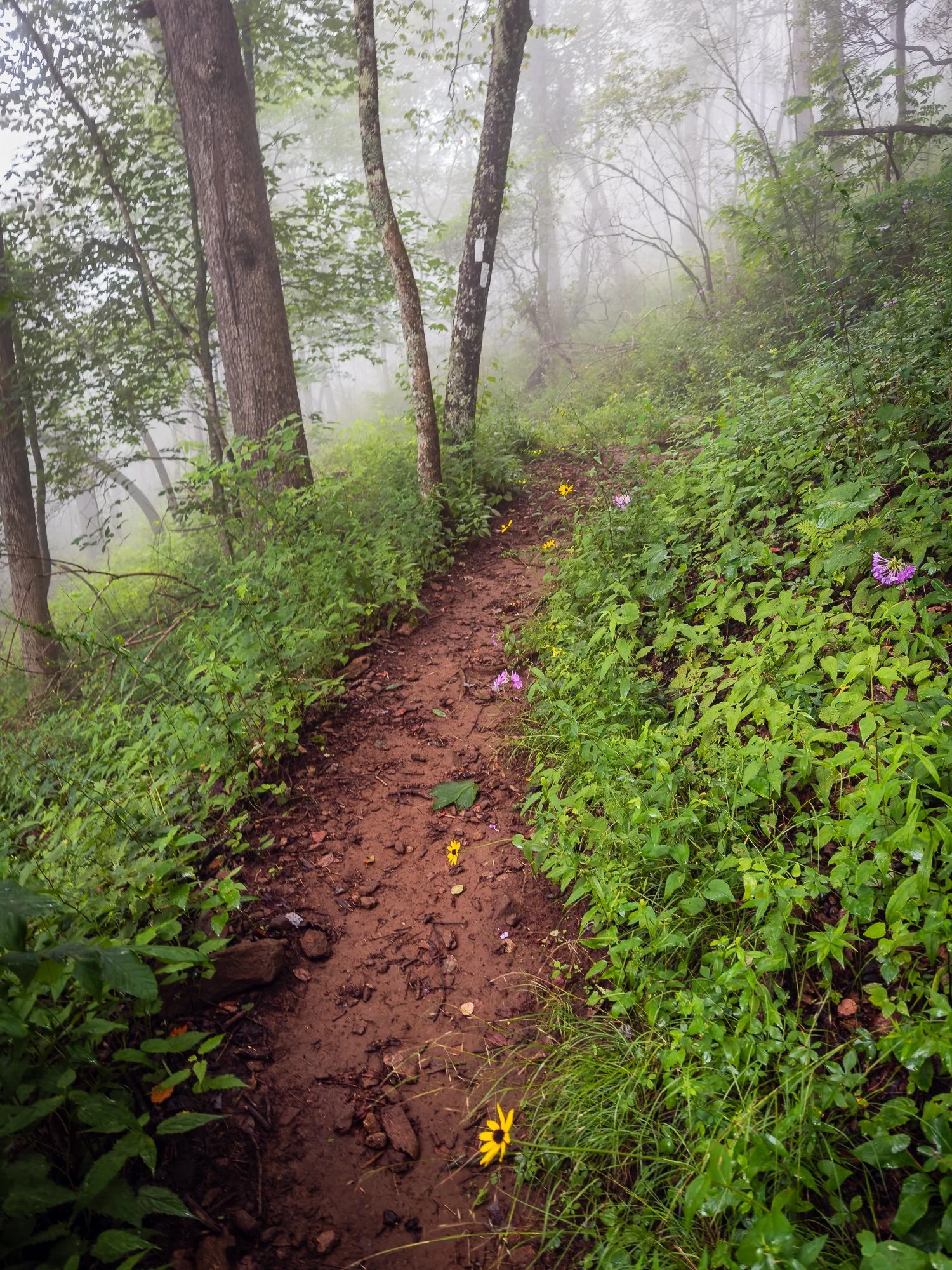
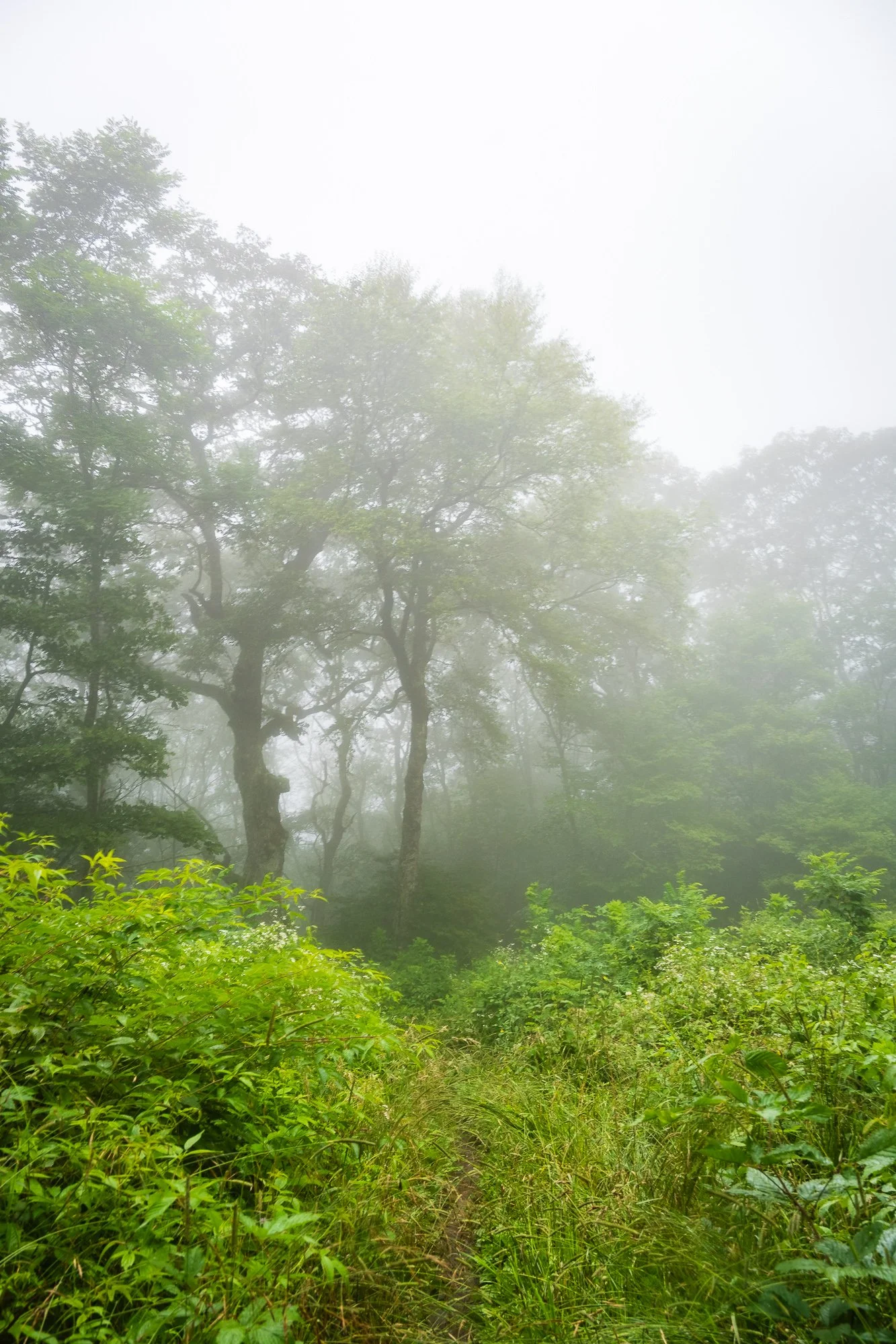
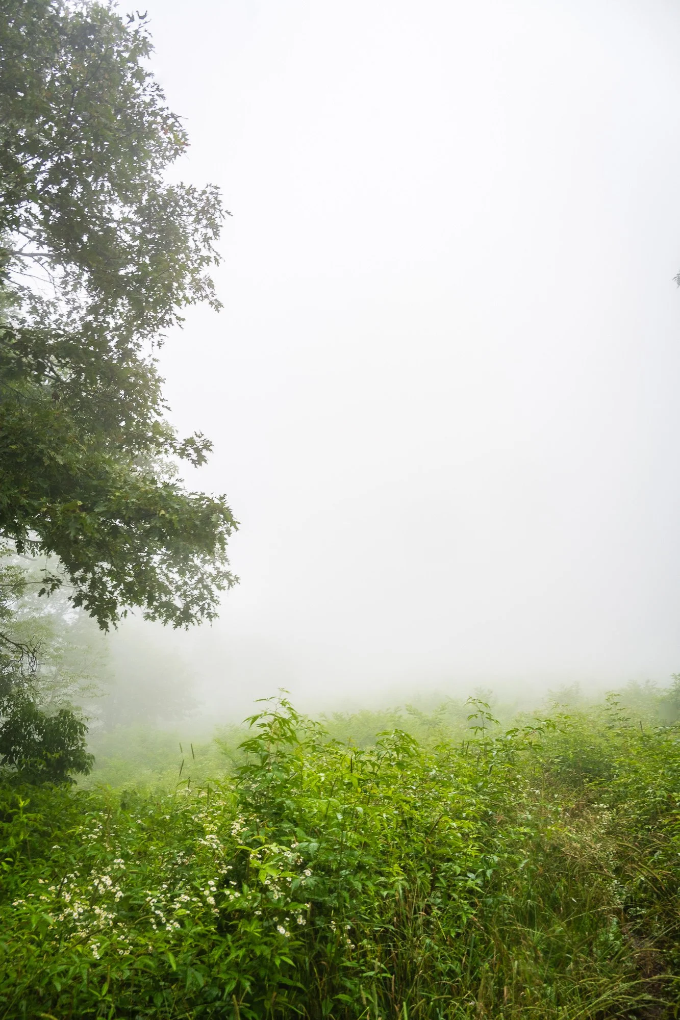
Soon we came to the firetower on top of the mountain. This is the first firetower on AT ever from the southern terminal. Our excitement somewhat dampened by the fog that was all around that morning, so we didn’t get to see the Blue Ridge to the east and the Little Tennessee River Valley below. However, it was still amazing to see the beautiful light, flowing fog and tree tops beneath our feet.


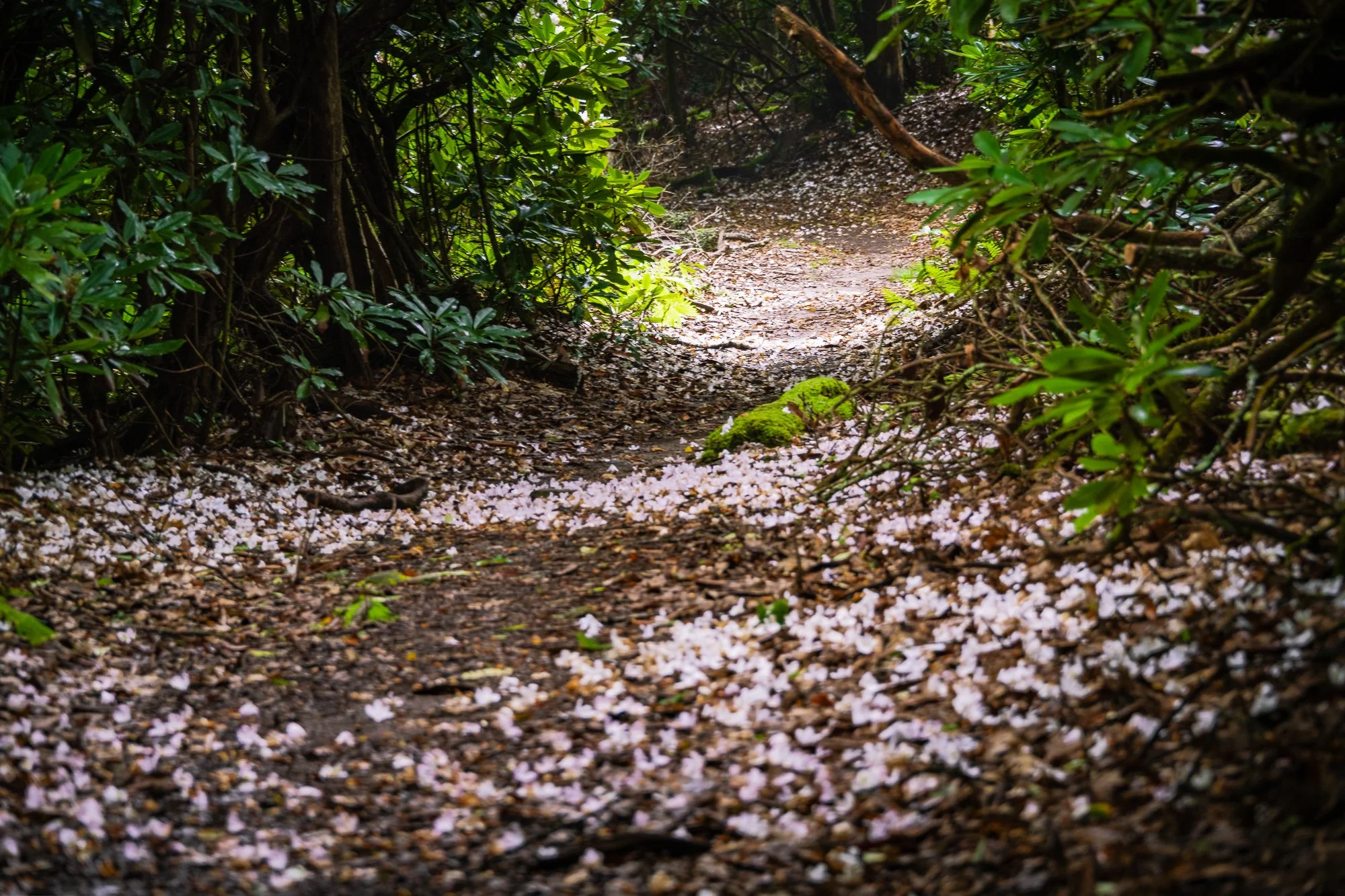
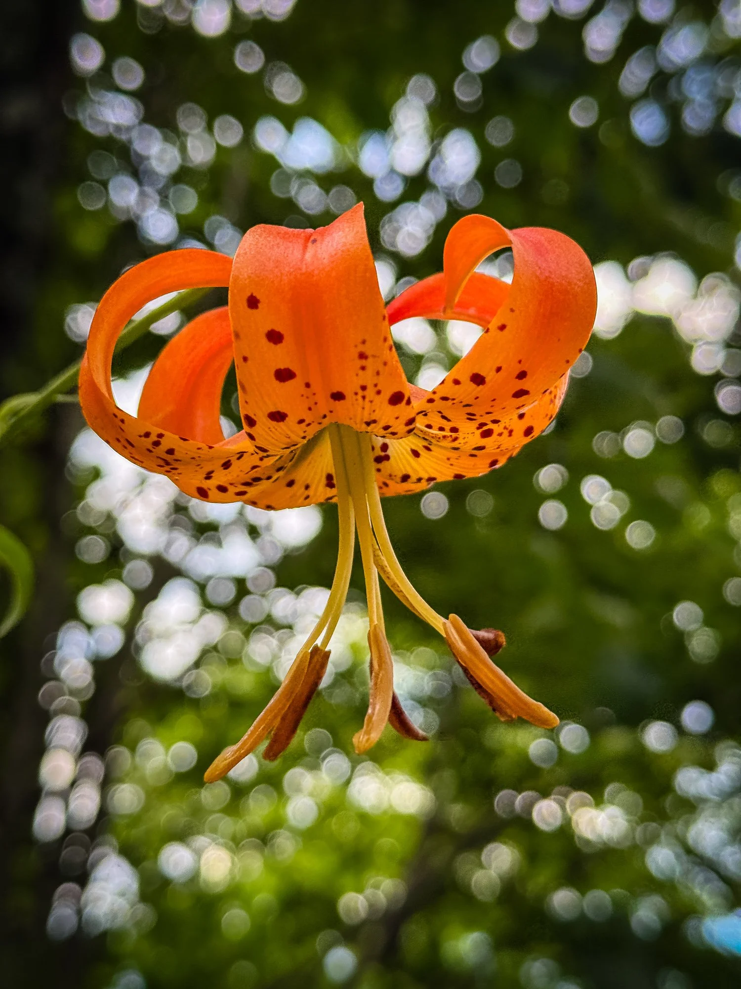
We thought we already missed the rhododendron’s blooming season in June this year. But surprisingly we caught the tail of it, and enjoyed the “flowering tunnel” scene that is so amazing!


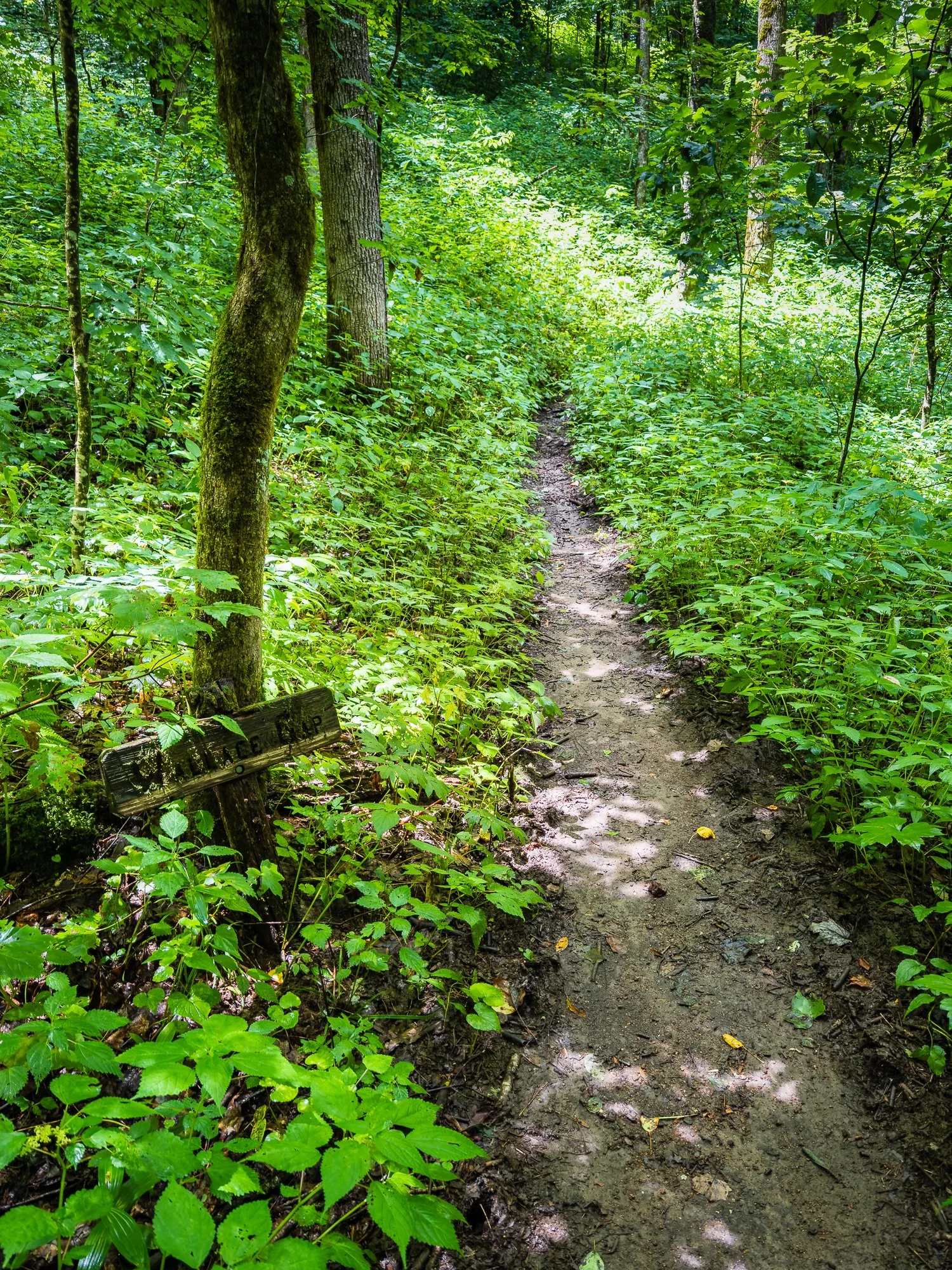
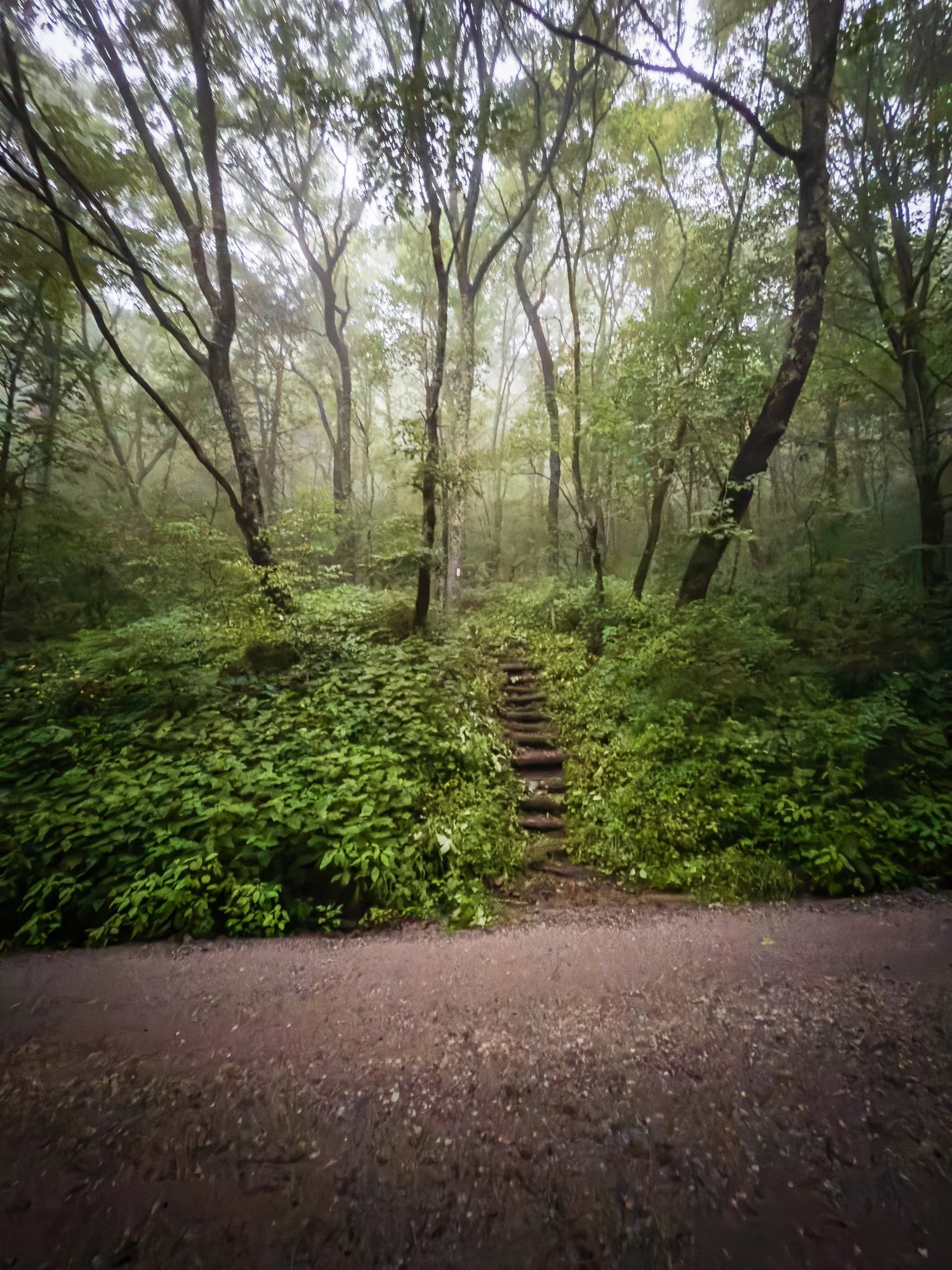
Mile 100.5 Big Spring Gap
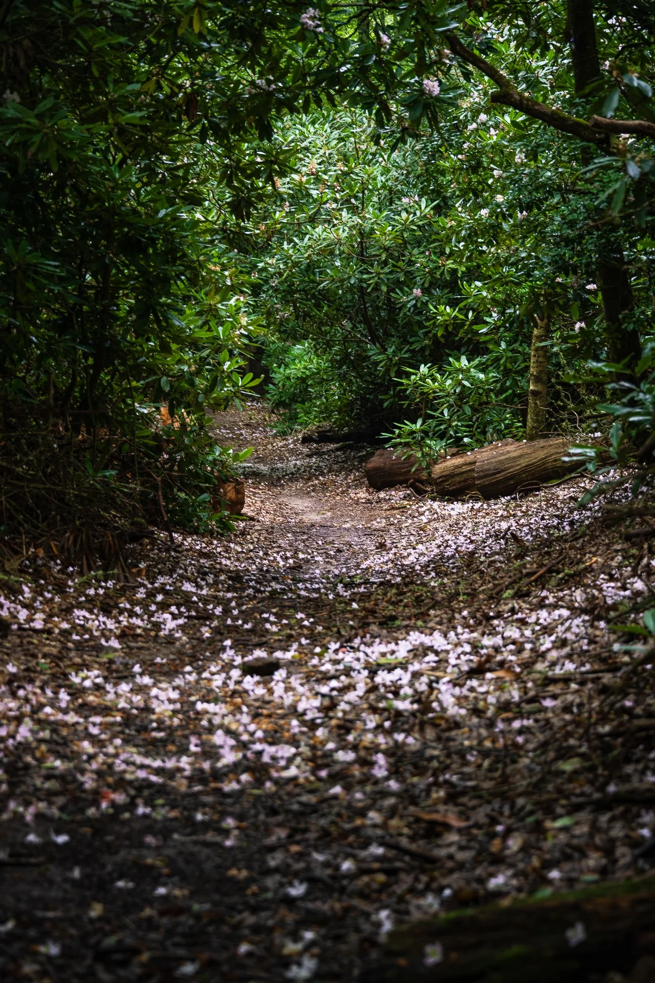
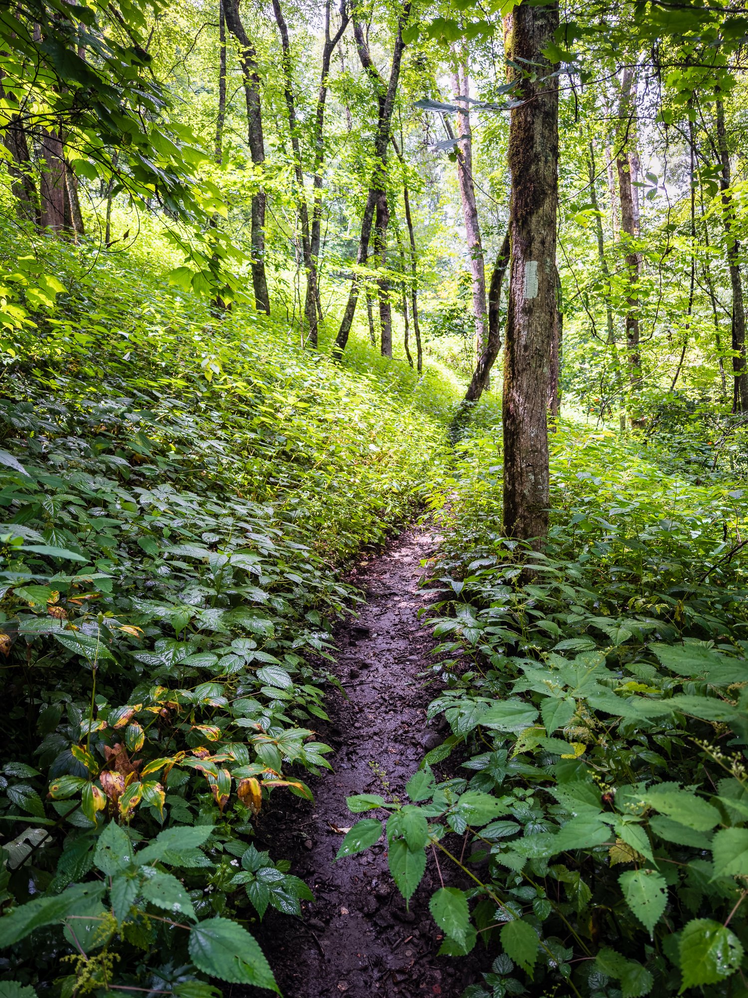
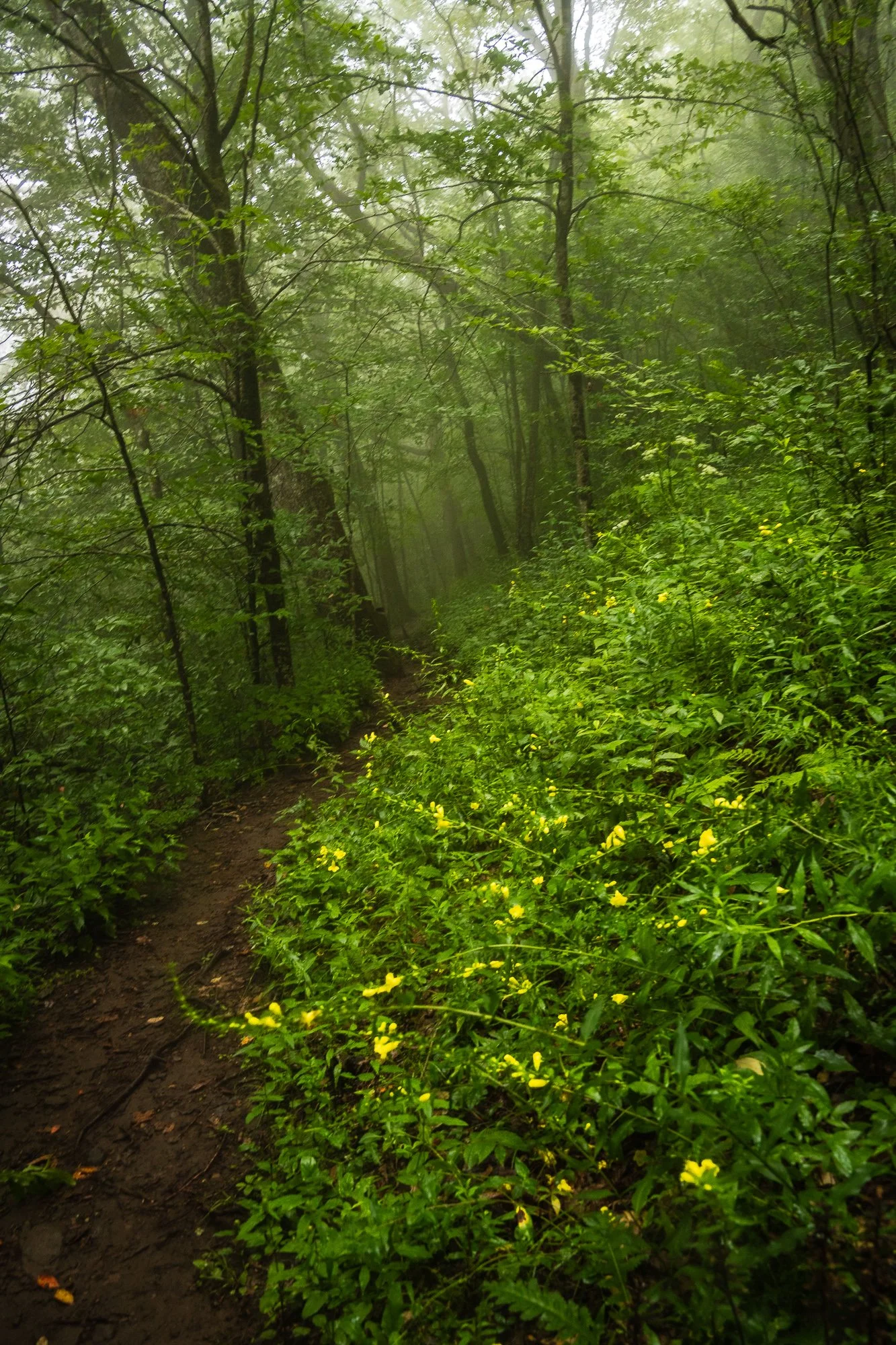
Before the gap, there is a Y-shaped cross, and I was so sure about moving straight into a wide, beautiful trail, that I only realized that I was on the wrong path until about 200 yards in as I kept seeing the blue blaze on the trees. When you see a bifurcated path in front of you around here, please step to the right, and soon you will see the white-blaze again. But I didn’t regret as the wrong path was beautifully line with Rhododendrons.

Wrong Trail, blue-blazed
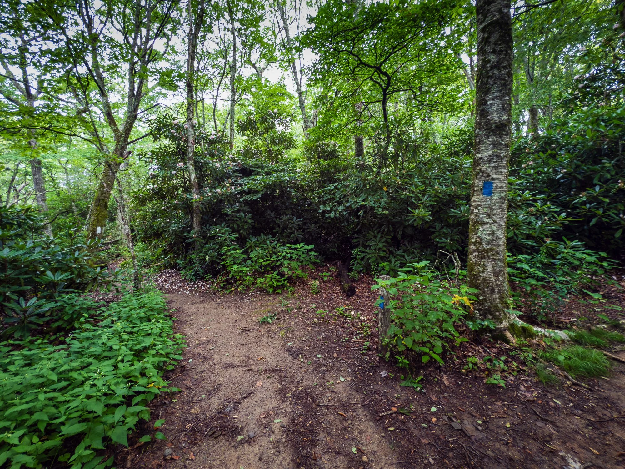
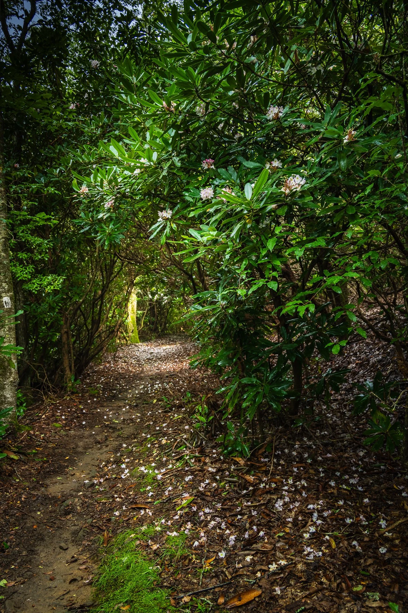
Correct Trail, white- and blue-blazed
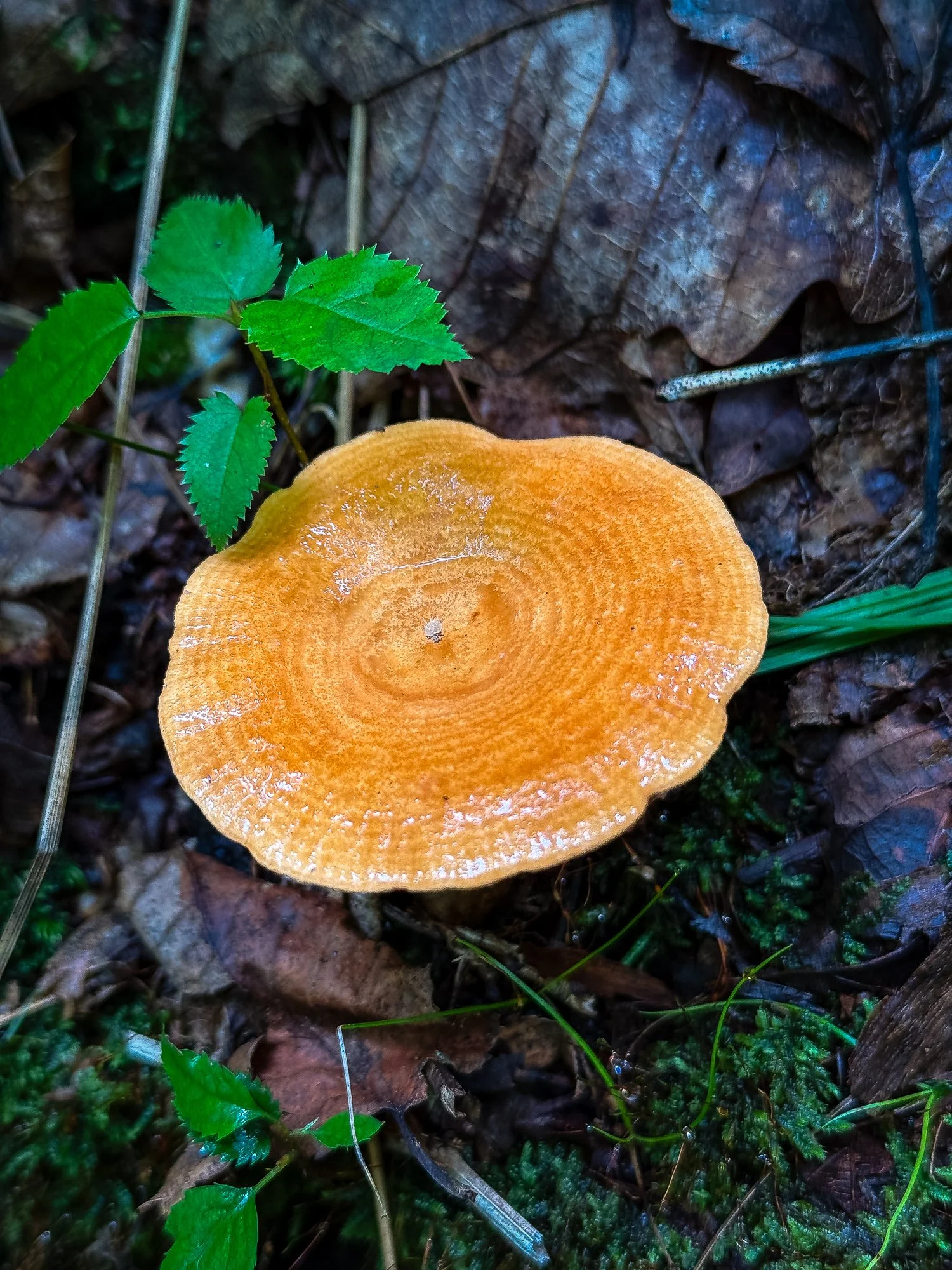
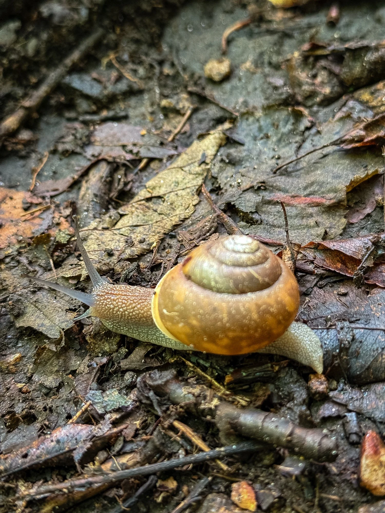
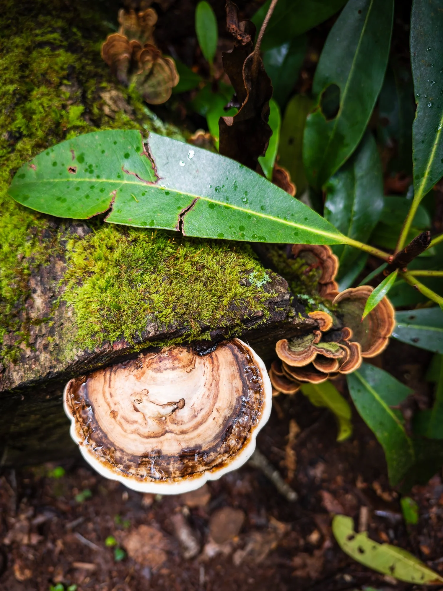
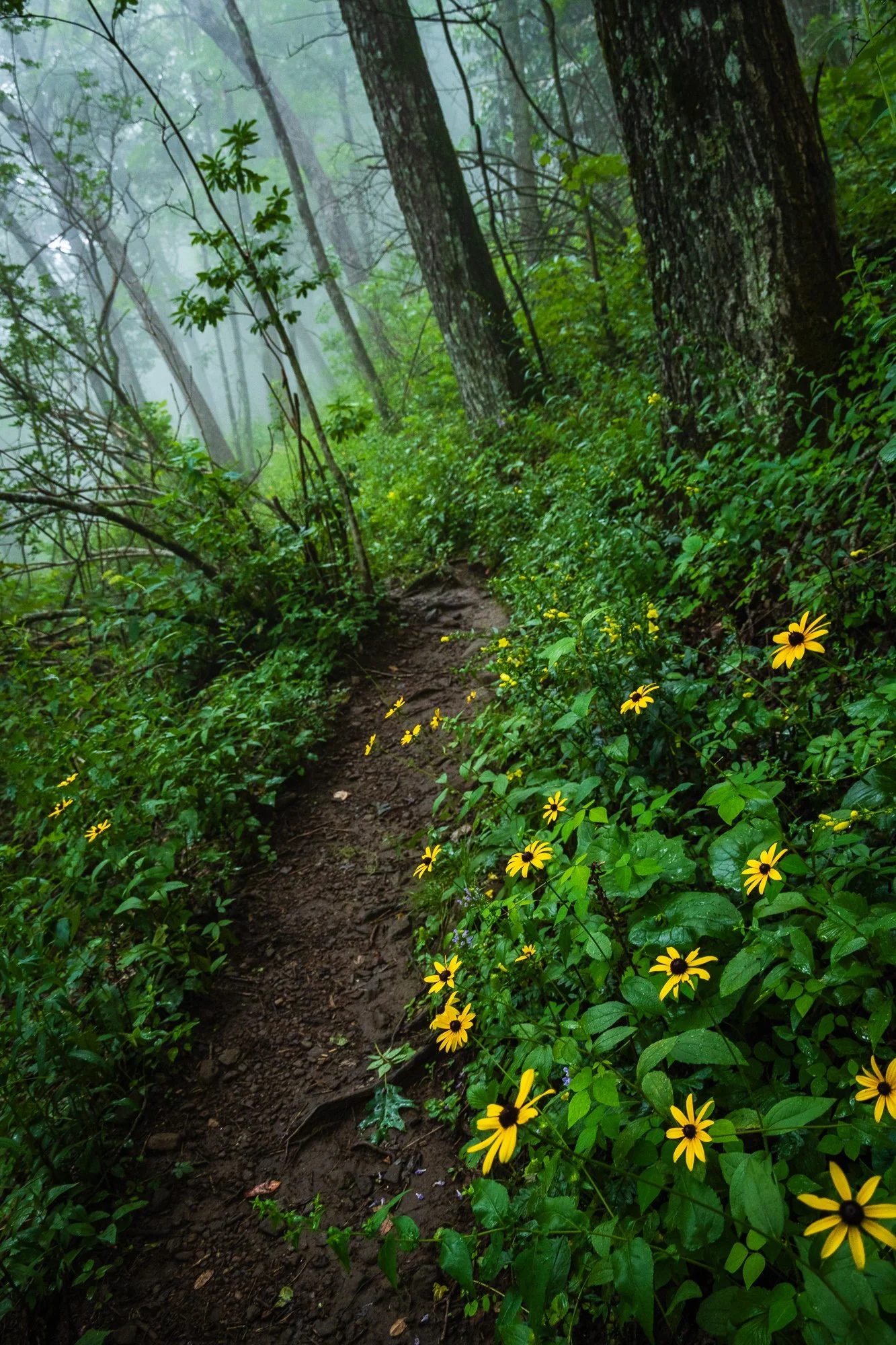
This area was very damp in the mostly overcast weather, so we got to see many mushrooms in all shapes and colors, and insects, including the snails on the ground and on the trees.


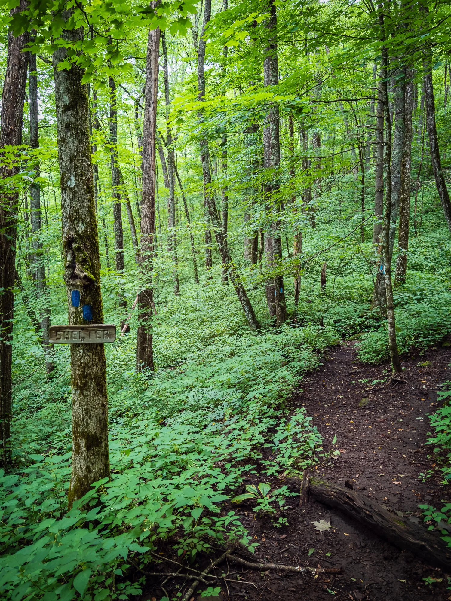
Mile 102.5 Long Branch Shelter
The shelter was rebuild in 2013 to replace the old Big Spring Shelter. Pipe water is right behind the shelter, and a privy is nearby and visible on the trail. It is a blue-blaze-led descent walk to the shelter, but don’t forget that you do no need to follow the same path to climb back to the trail. A trail north from the shelter is flatter and shorter to access AT again.
The moment we arrived at the shelter and got ready for cooking our lunch, the pour rain started pouring down. By the time we were refilled and rested, the rain suddenly stopped. That was pretty much the only big rain we got that day. So we considered ourselves extremely lucky.
In the shelter there was a young man writing diary. We learned that he is northbound with a goal of New York. He was the only ‘through-hiker’ that we have met in this section hike.

Mile 103.3 Glassmine Gap
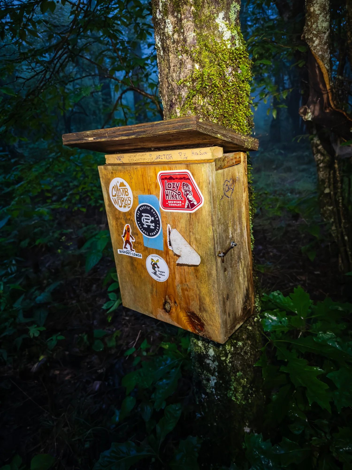
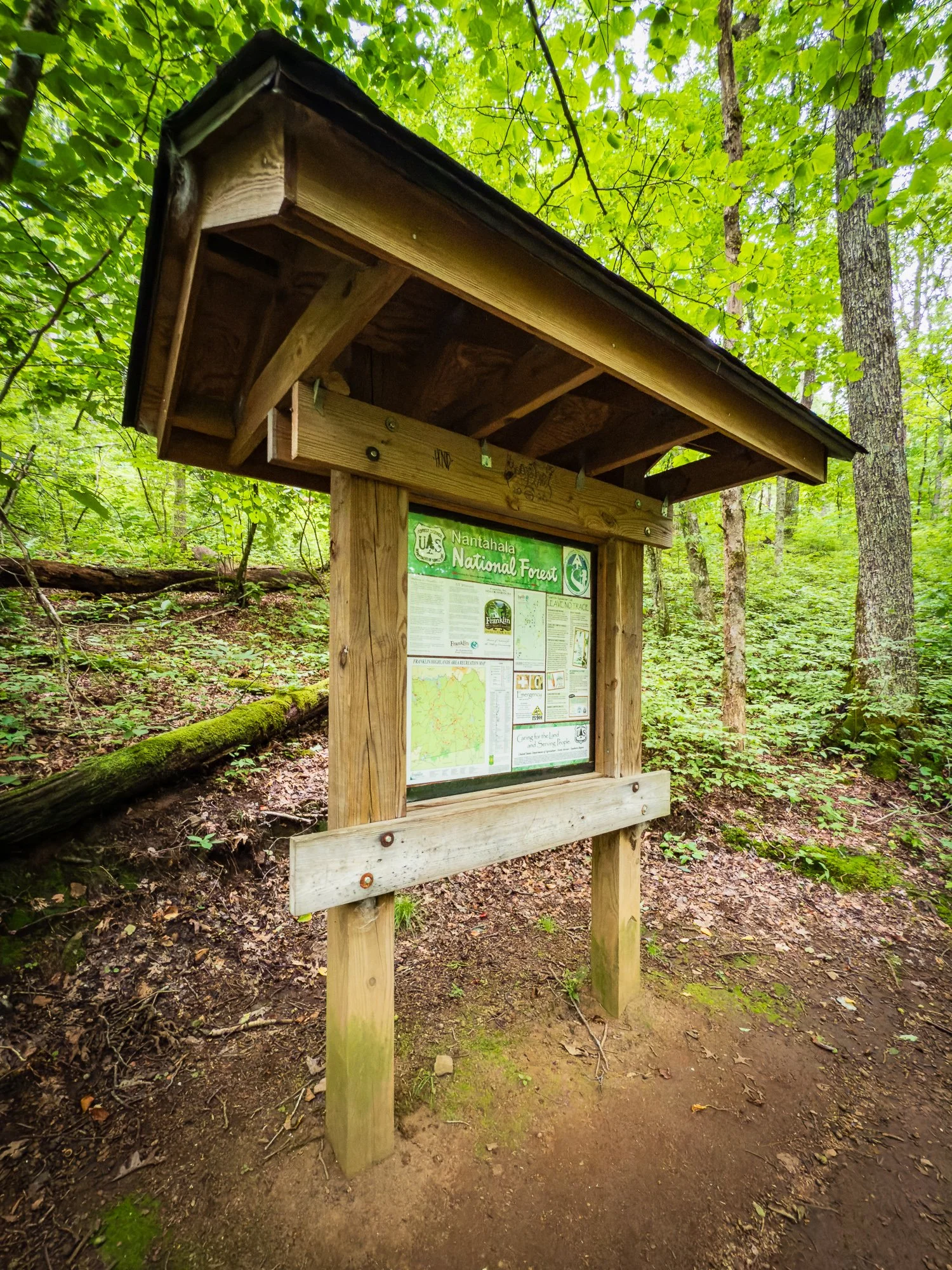
Access to paved road USFS 67 and junction with the Long Branch Trail. Also an animal-proof trash dump site. 10.0 miles west of Franklin, NC, which is a designated AT community with motels, post office, groceries, outfitters, and hospital.

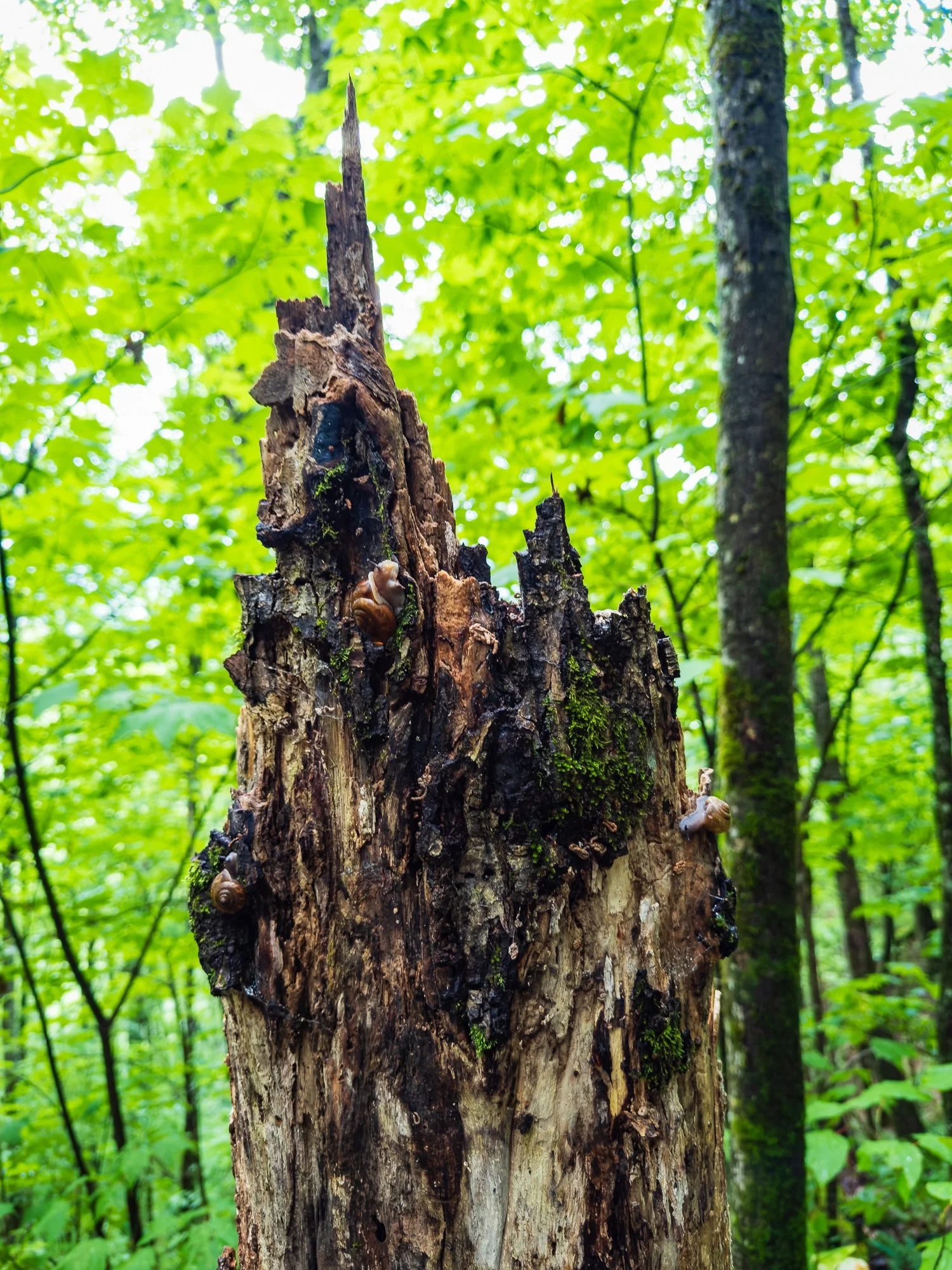
How many snails can you identify on this dead tree trunk?
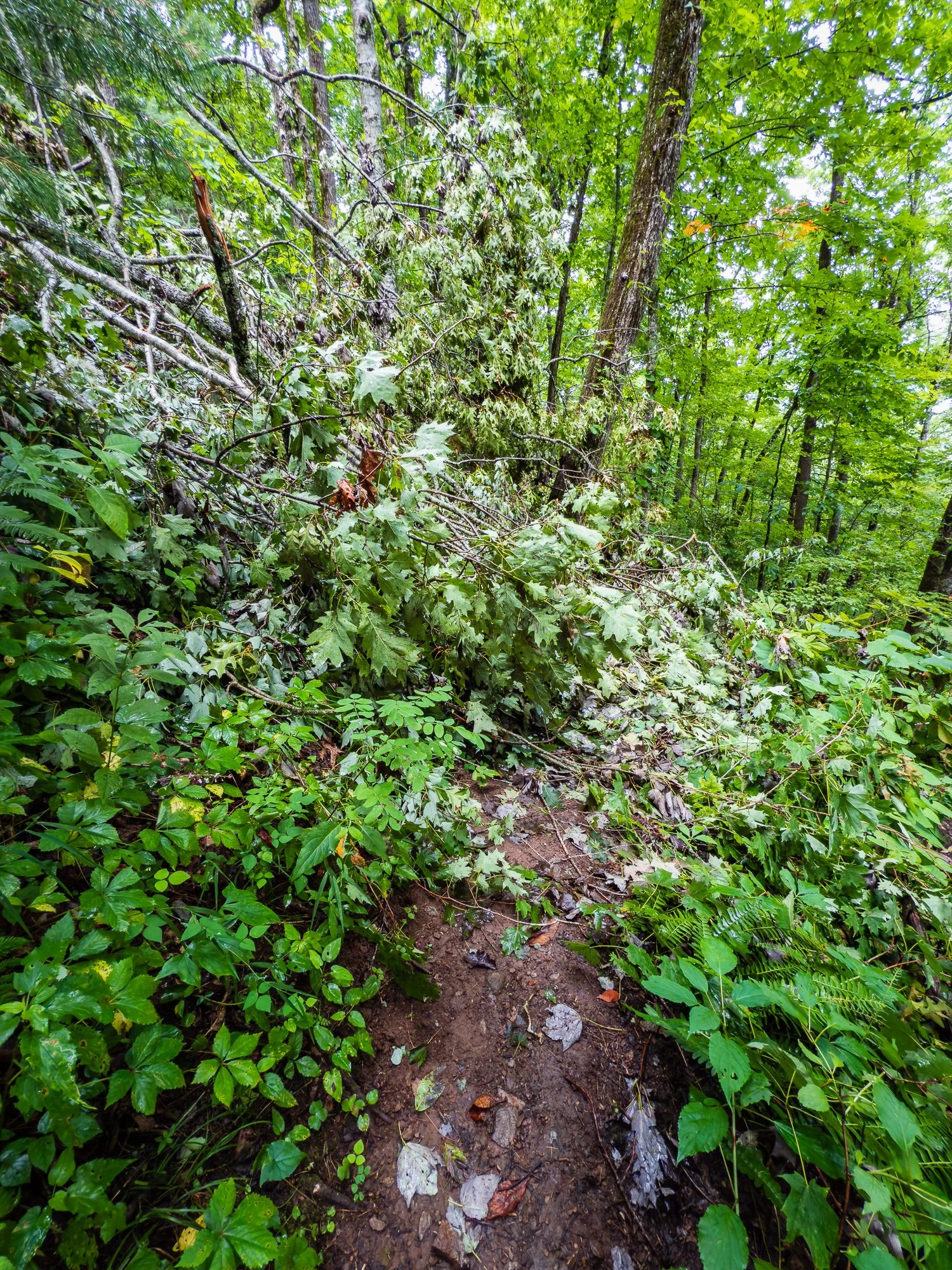
Falling tree branches blocked the road, but crossable
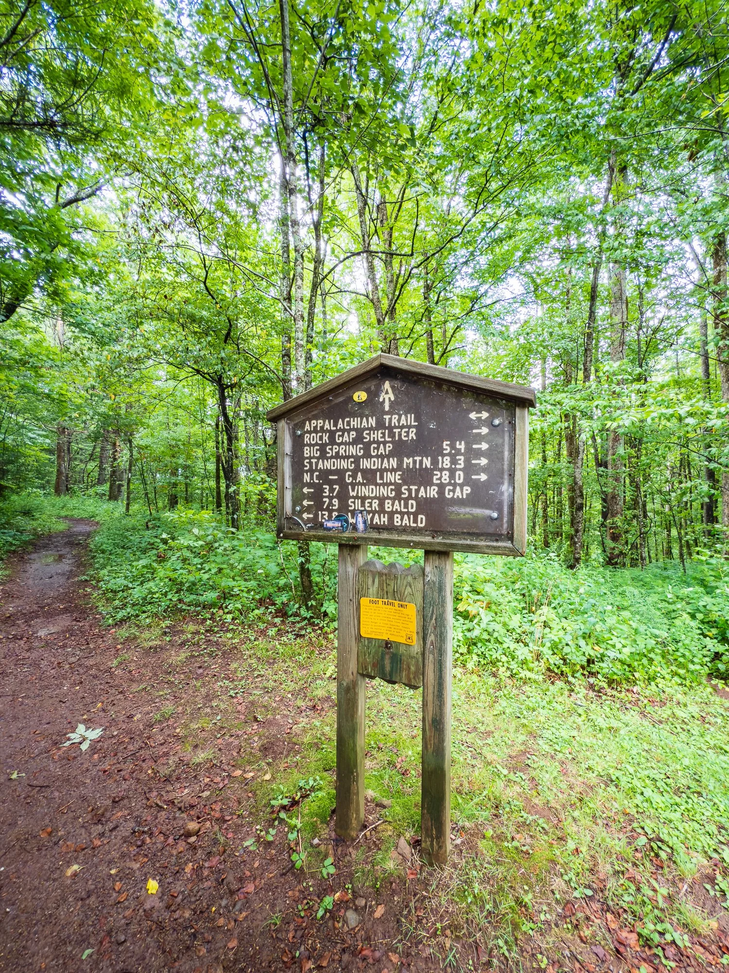
Mile 105.8 Rock Gap Shelter
We didn’t stop for this shelter but it supposes to have a pipe spring and a privy for hikers.
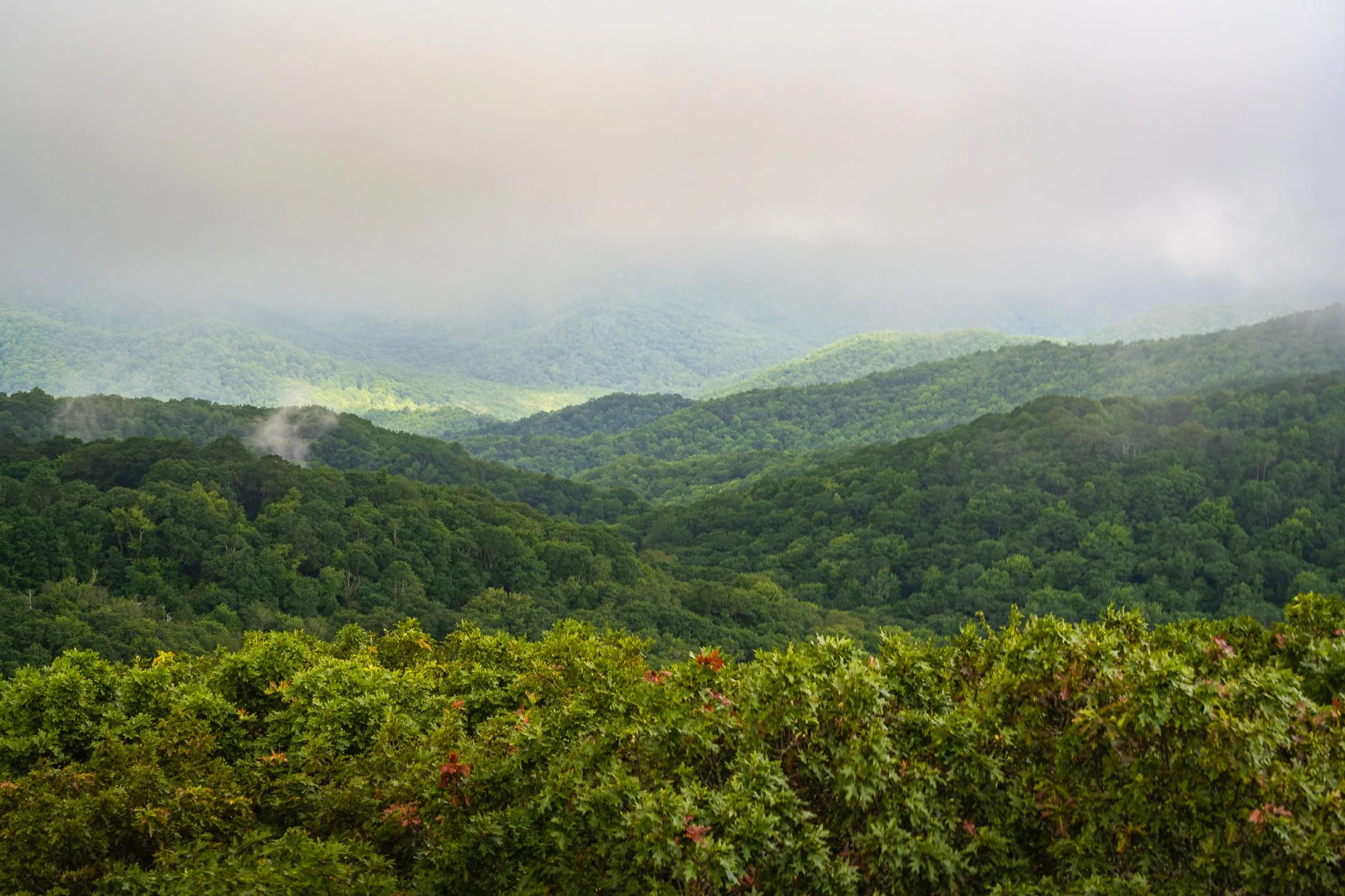
Mile 105.9 Rock Gap
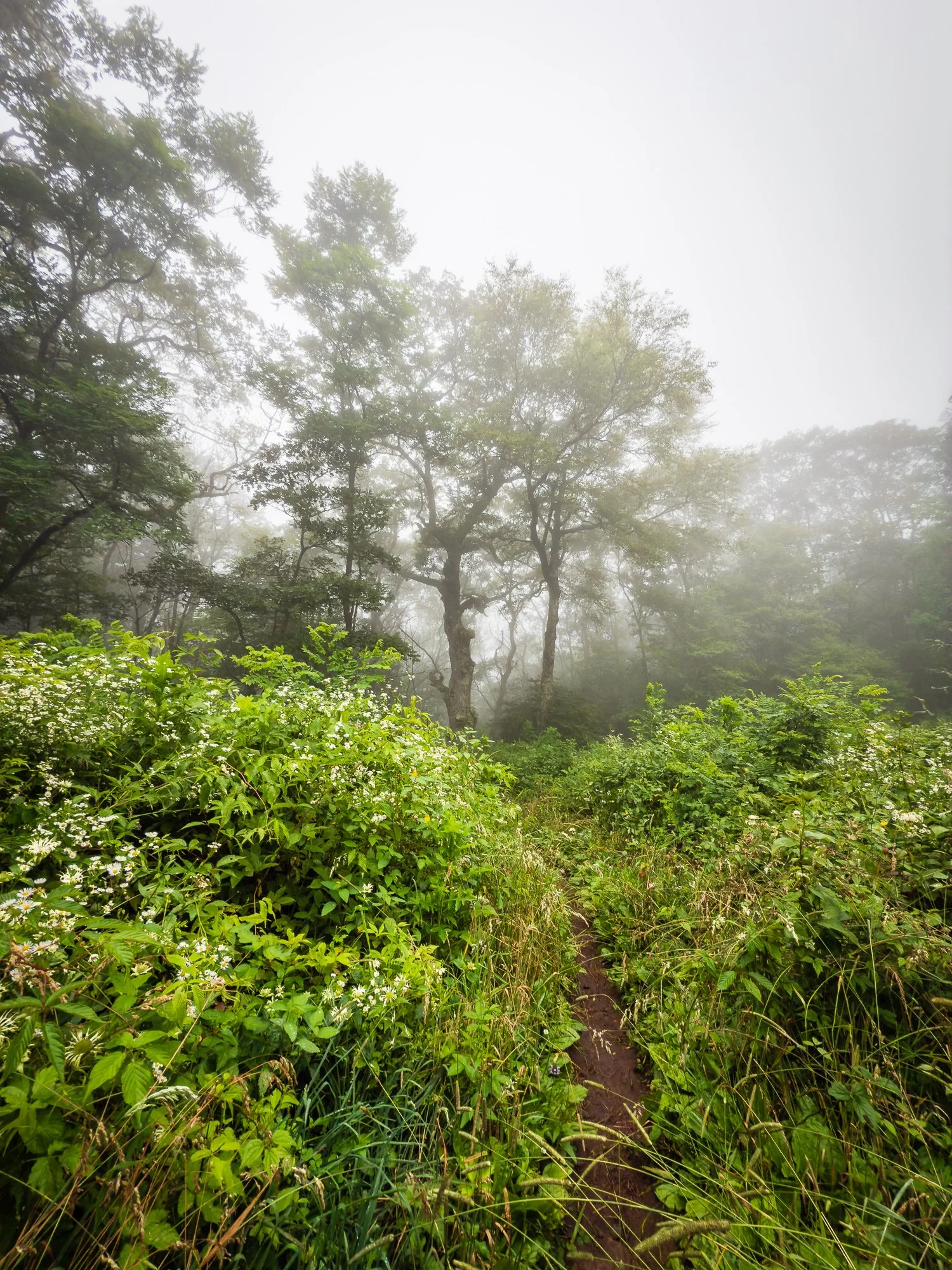
Soon we came to this great view with a clear sky.

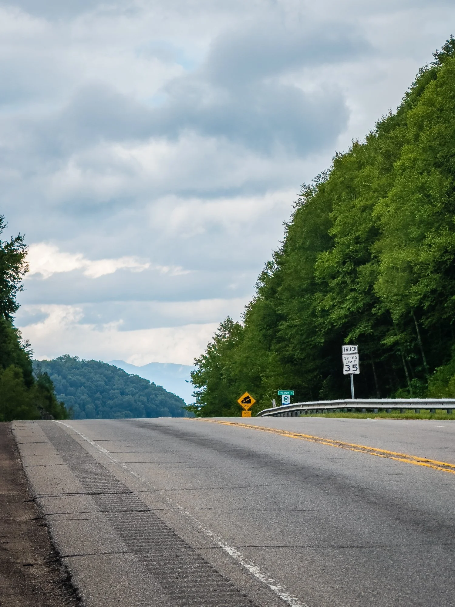
Mile 106.5 Wallace Gap
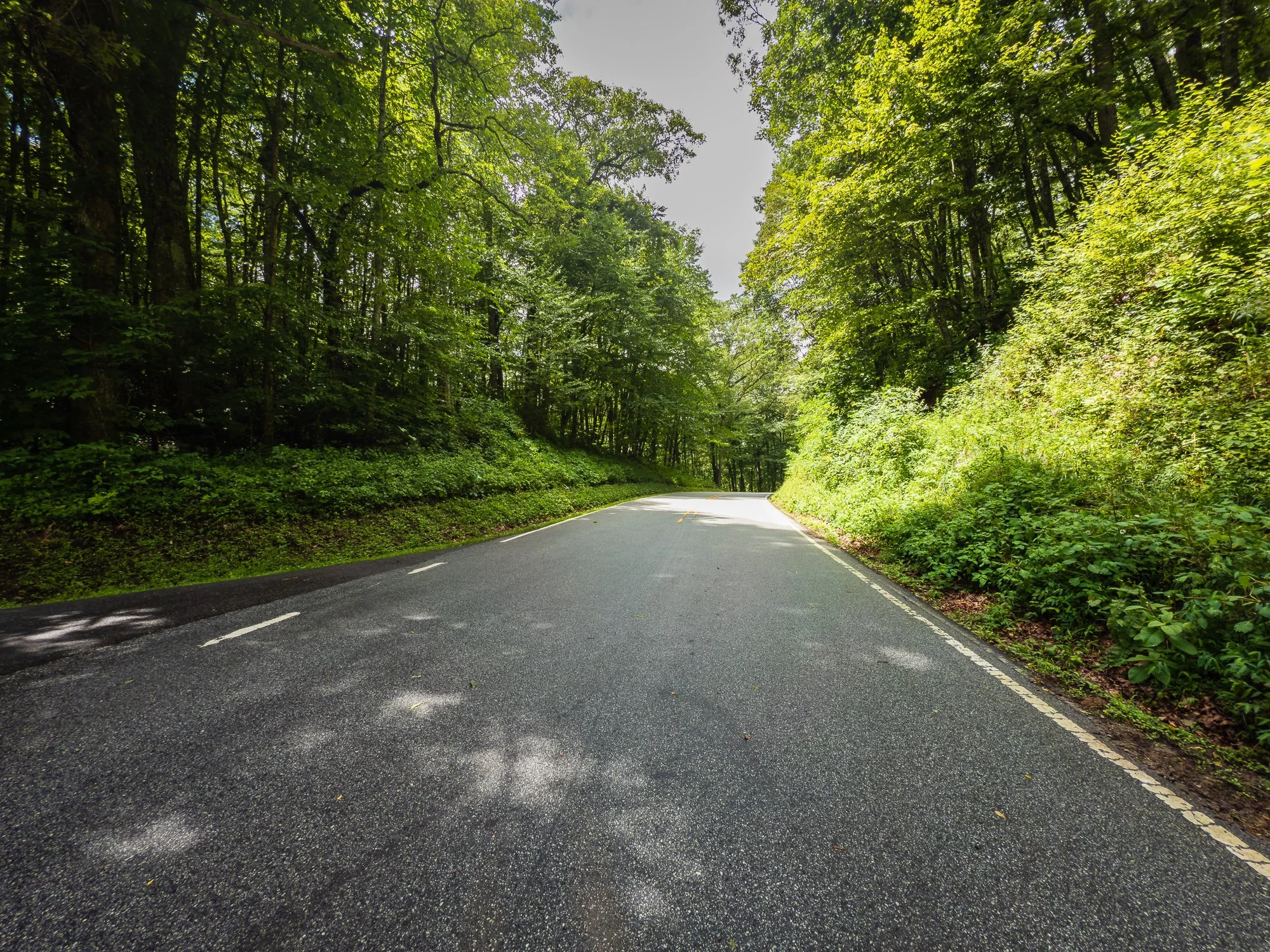
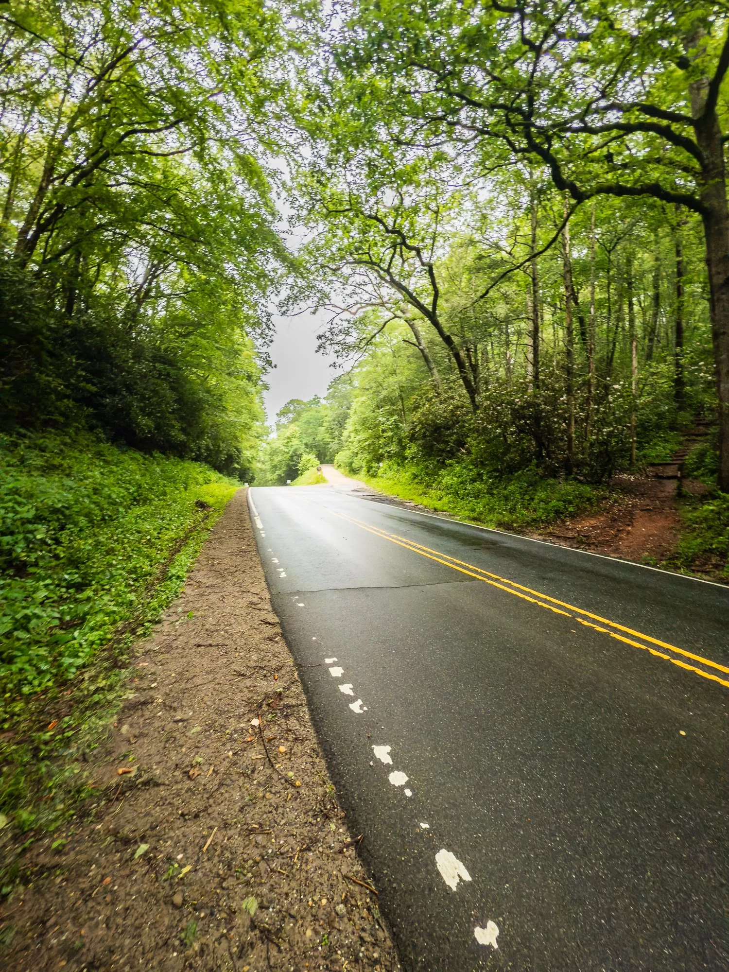
We crossed a main paved road with a sign “Standing Indian Campground” sign on the shoulder, then started climb up to the Rocky Cove Knob. We also refilled out water on our way up at a pipe spring at mile 106.6.


Mile 109.6 Winding Stair Gap
Cross US Route 64 here with a dozen parking spaces on the side of the road. There is also a big pipe spring next to the parking lot. Some shuttles to Franklin pick up hikers from this spot. Macon County Transit only runs shuttle services during peak hiking seasons.
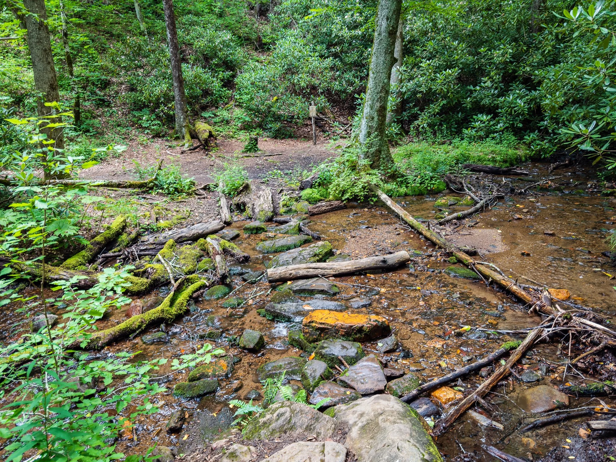
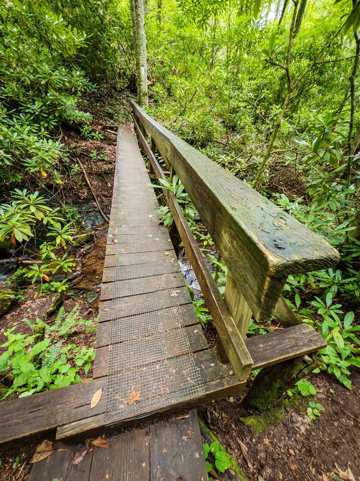
Please note that the AT access cross the road is not immediately there. We finally figured out that we need to turn right and hike on the same side the road from where we came from for about 50 meters to see the trailhead on the other side. Soon we crossed Moore Creek by a wooden bridge with a small water cascade next to it.


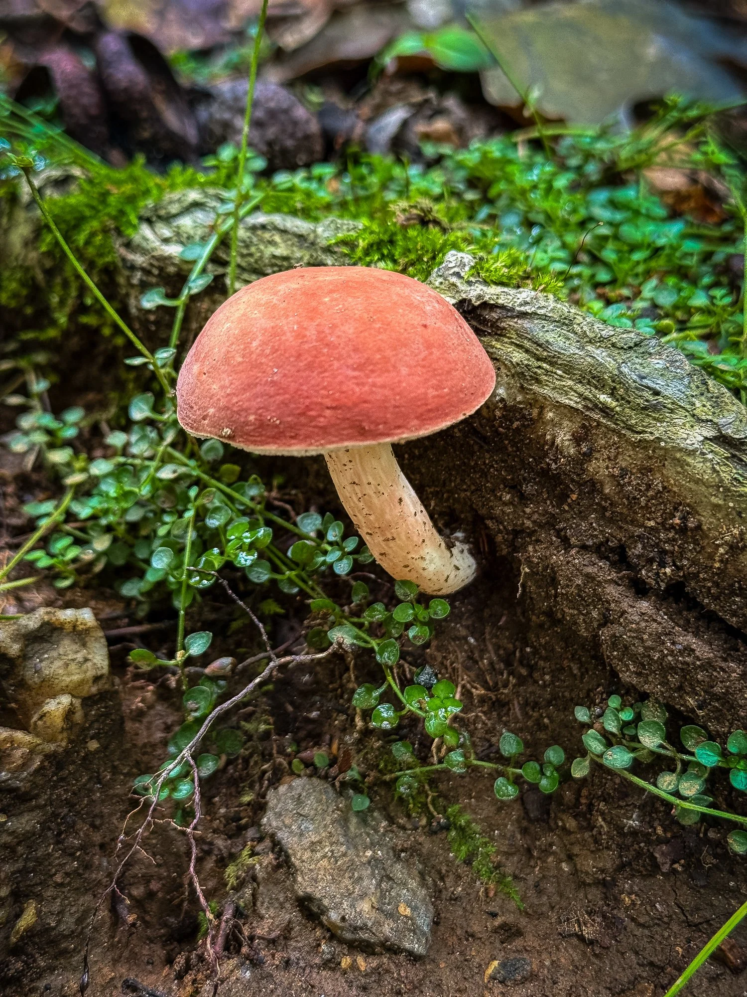
Mile 110.7 Swinging Lick Gap


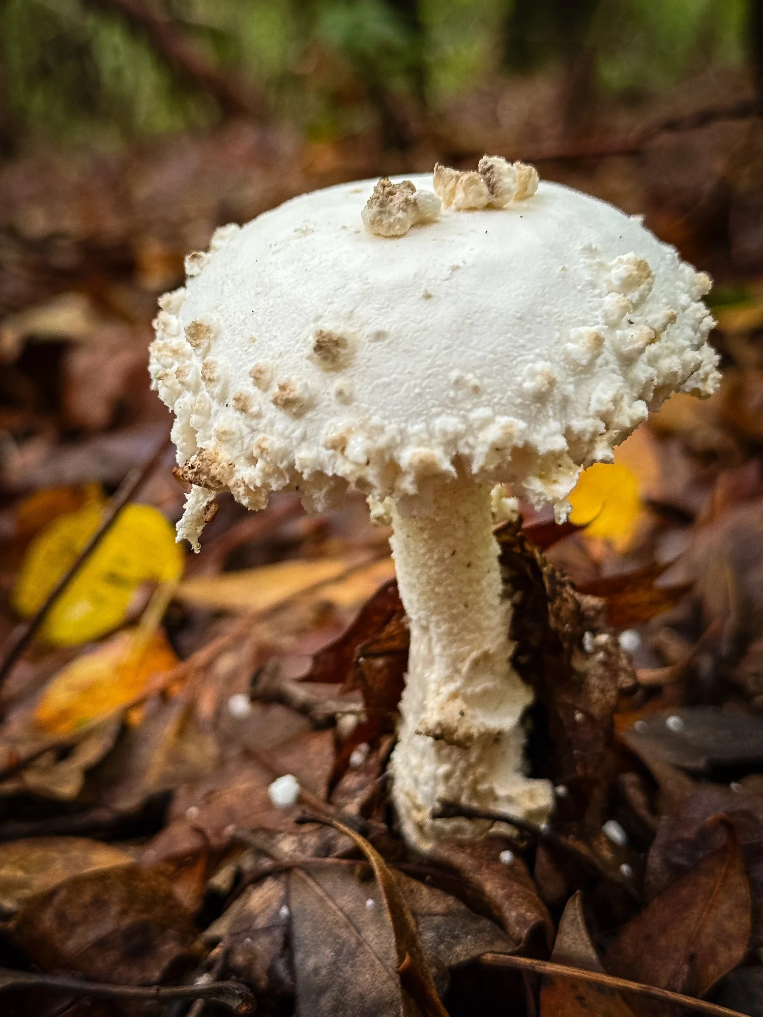
Probably the largest mushroom we’ve seen….

Mile 111.6 Panther Gap
A leveled area with no water.


Mile 113.2 Siler Bald Shelter
It is a blue-blazed loop trail along old logging road to access the shelter, so you may enter the shelter from either north (0.6 miles) or south (0.5 miles) entry. The north entry is also Snowbird Gap, where is a big grassy opening surrounded by trees. The Siler Bald (elevation 5,216) is a short hike from here to the west. It is an open summit offering spectacular views of southern Appalachians. However, it was too foggy and too late in the day for us to take that adventure.


Mile 115.5 Wayah Gap
Here we cross the paved State Road 1310, and started ascending into woods paralleling USFS 69, beginning 1,180 ascend to Wine Spring, our destination of the day. We crossed FS 69 several times along the way before we got to our camp ground.


Mile 117.8 Wine Spring Campground
When we got really close to the campground, it was foggy and almost dark. We were on our headlamp and could not see very far near us. Then my son closely behind me asked “what is that?” My heart went to my throat after hearing that, thinking maybe a bear or some fierce animal was what he saw. Follow what he was pointing at, I vaguely saw simulate of a structure in the fog. Then the horror movies like “blaire witch project” came to my mind. So I just calmed him that it was nothing, and let’s hurry up. The structure we saw that night ended up to be the Wilson Lick Ranger Station, built in 1913 as the first station in Nantahala National Forest. So do not be surprised as us did when you see it next time on your hike.
The campground has several tent sites around a fire pit. We set up our tent, cooked, cleaned before hang our food bag up. By the time we climbed into our sleeping bag with exhausted bodies, it was almost 10pm and started raining. It was a tough night to go through giving we had intermittent rain throughout the night, we considered ourselves lucky as the sky gave us plenty of time to do our business before found cover.