Day 8 [NC: Mile 86.2 - Mile 99.2] Deep Gap -> Bearpen Gap/USFS 67
Date: April 19 7, 2025 (Saturday)
Total Distance: 13.0 miles on AT
We planned to hike 2 days including one night of camping at or near a shelter. This time we add a hiker - my sister, who also like hiking and was excited to join in us. This time, we parked at Deep Gap instead of the destination, and planned to use shuttle service to bring us back here. As we either under- or over-achieved our planned goals in the previous two section hikes due to all kinds of factors, this mechanism would enable us to just use shuttle service once at the end of the section instead of twice to save some $$.
Mile 86.2 Deep Gap
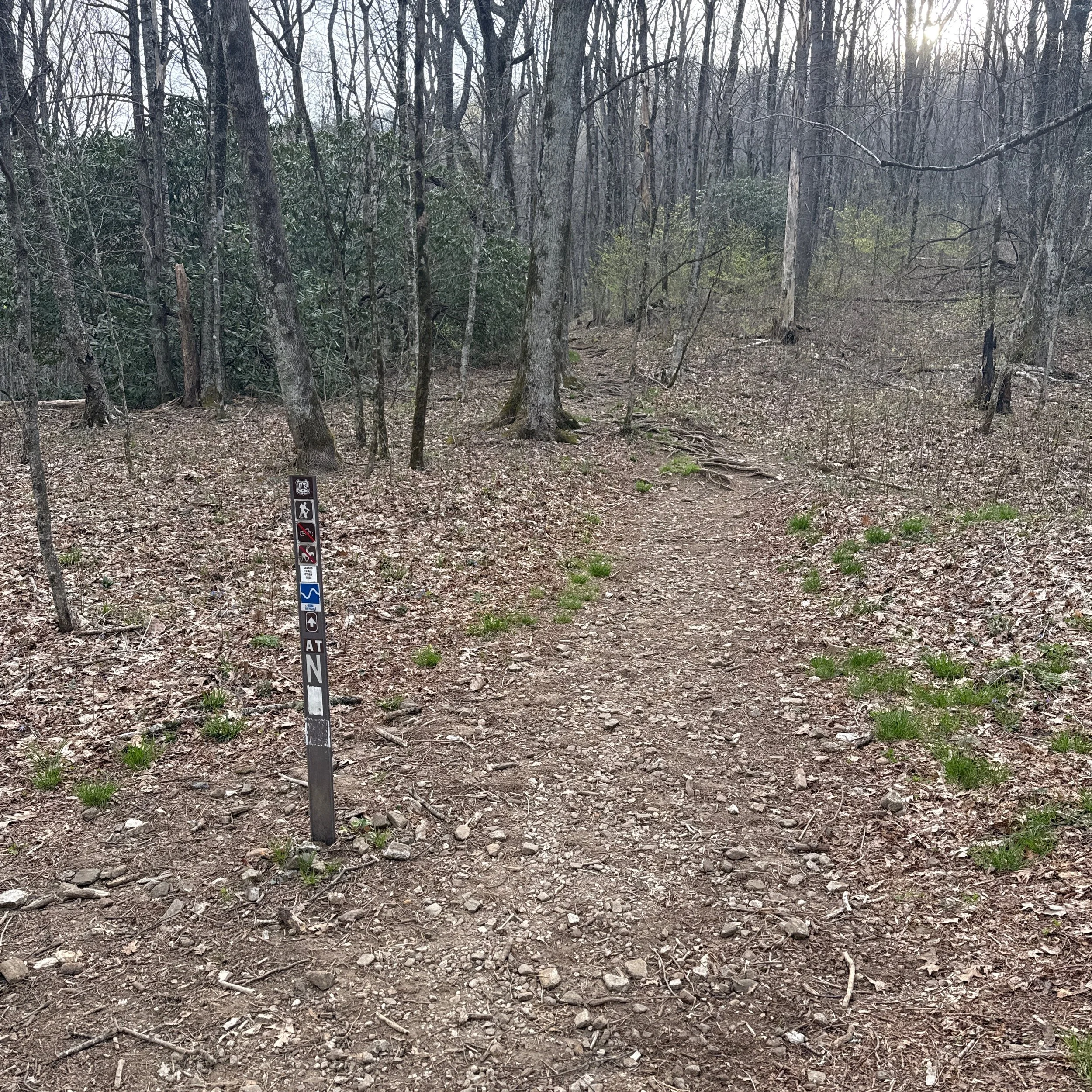
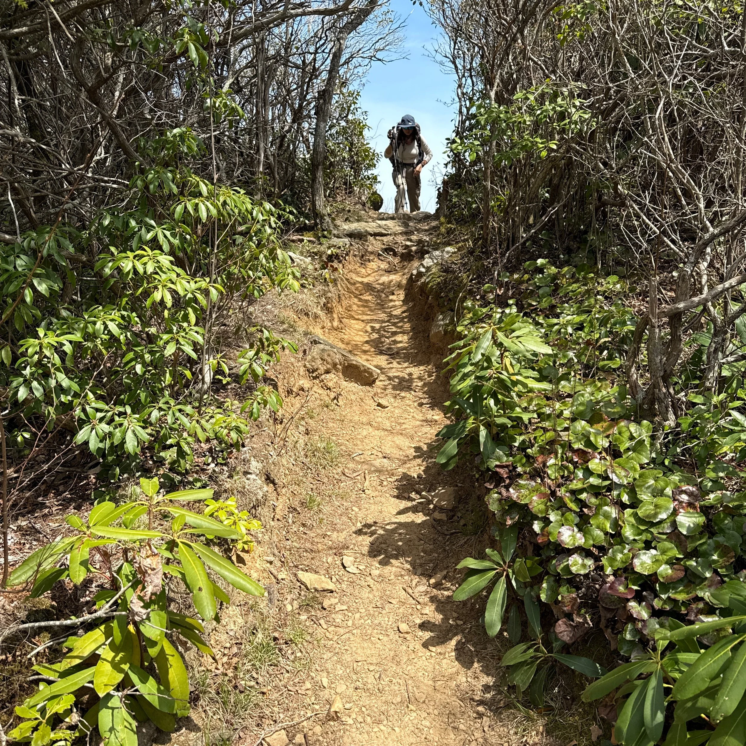
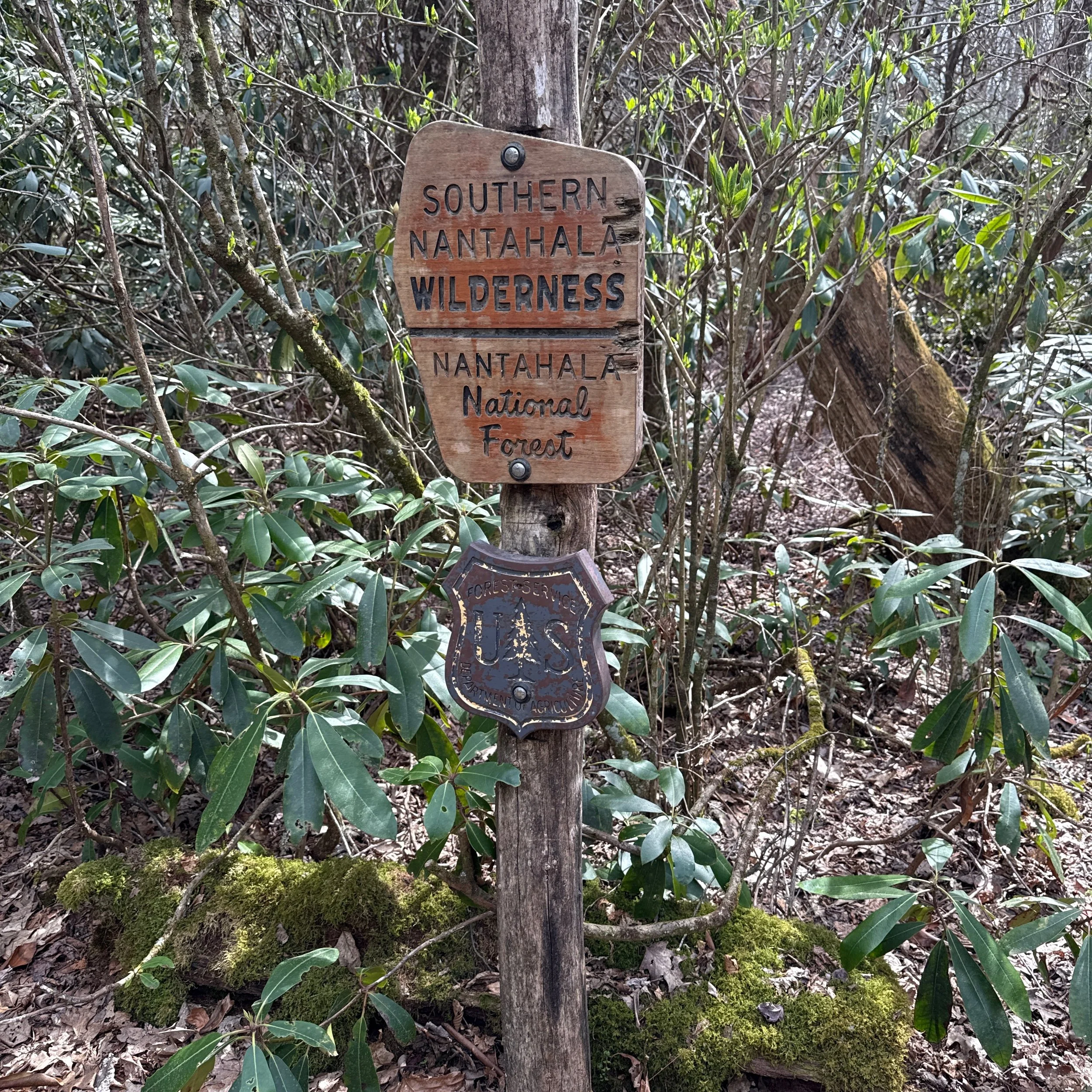
We got there around 8:30AM, and hit off the trail right away. Now we entered the Southern Nantahala Wilderness, and soon passed the sign for the Standing Indian Shelter, which is not visible from the trail.
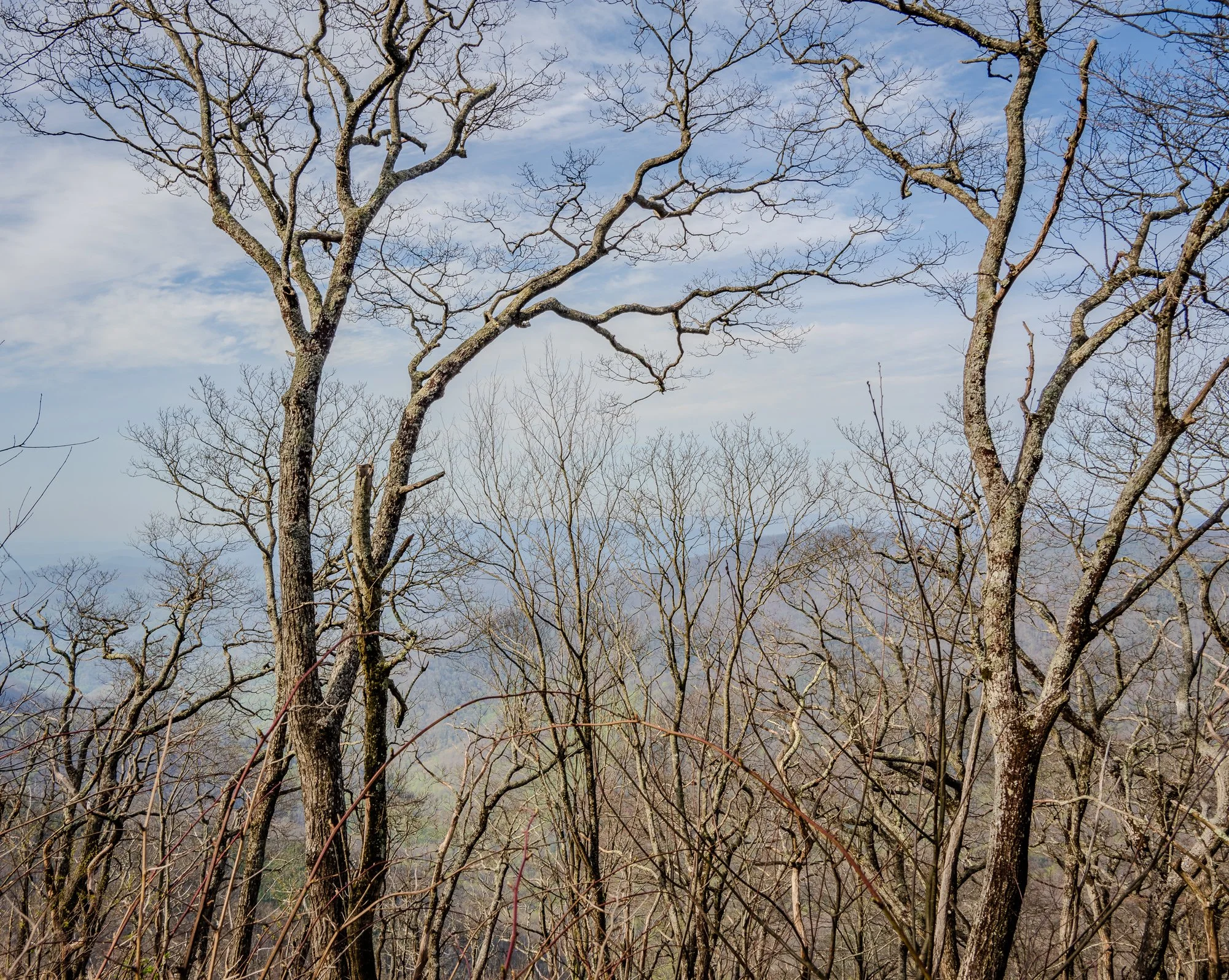

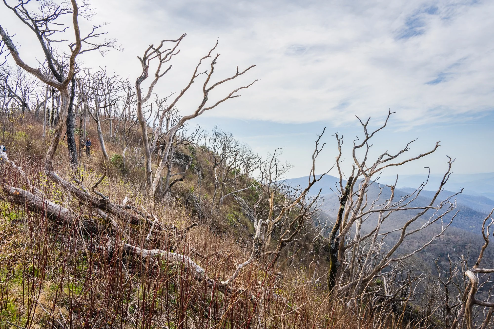
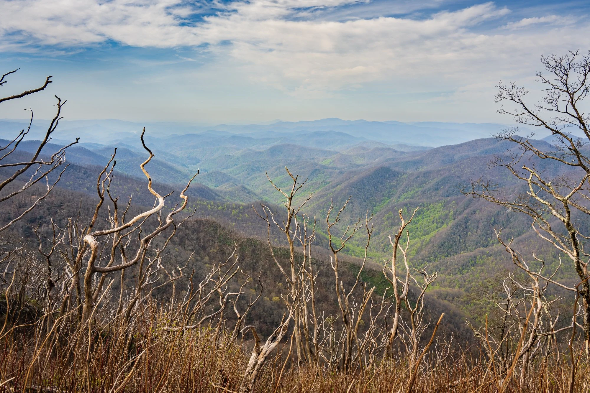
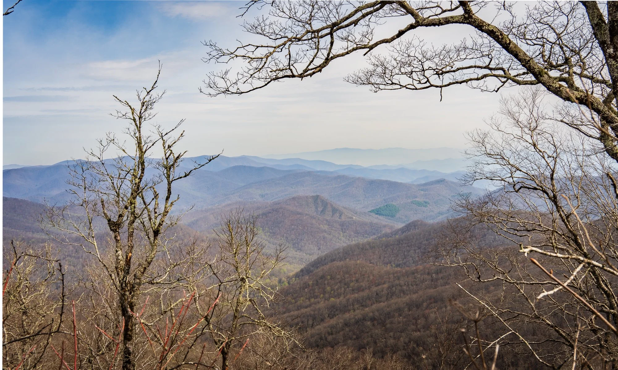
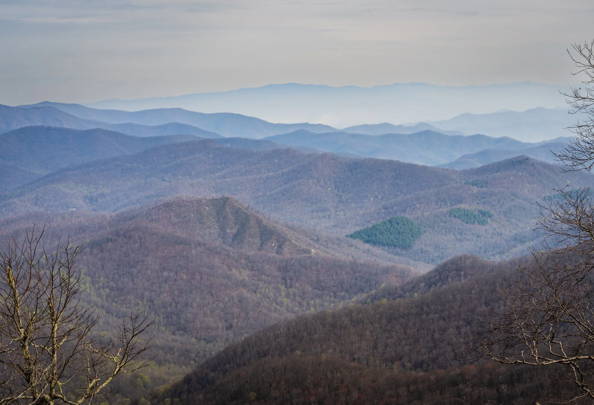
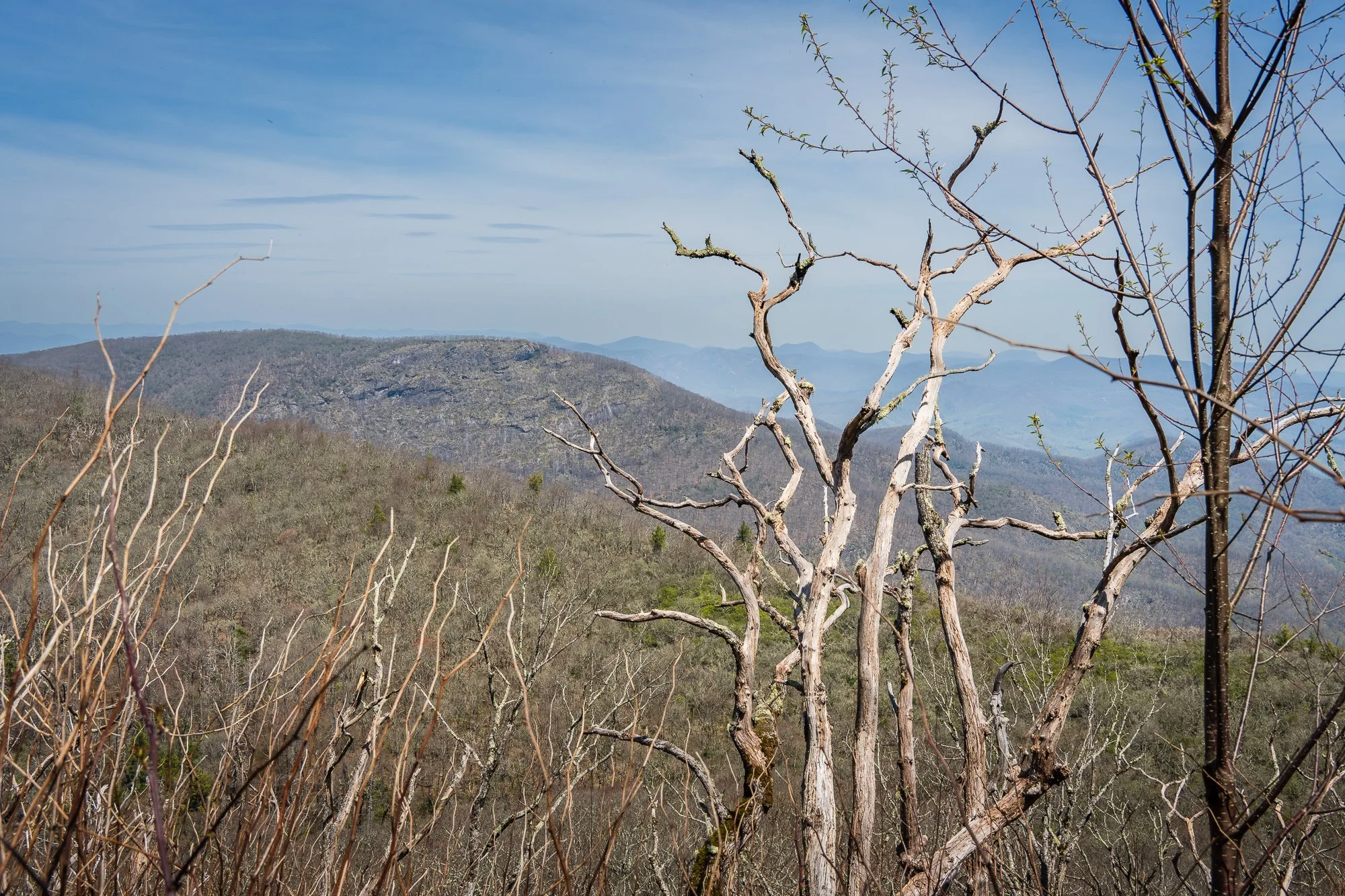
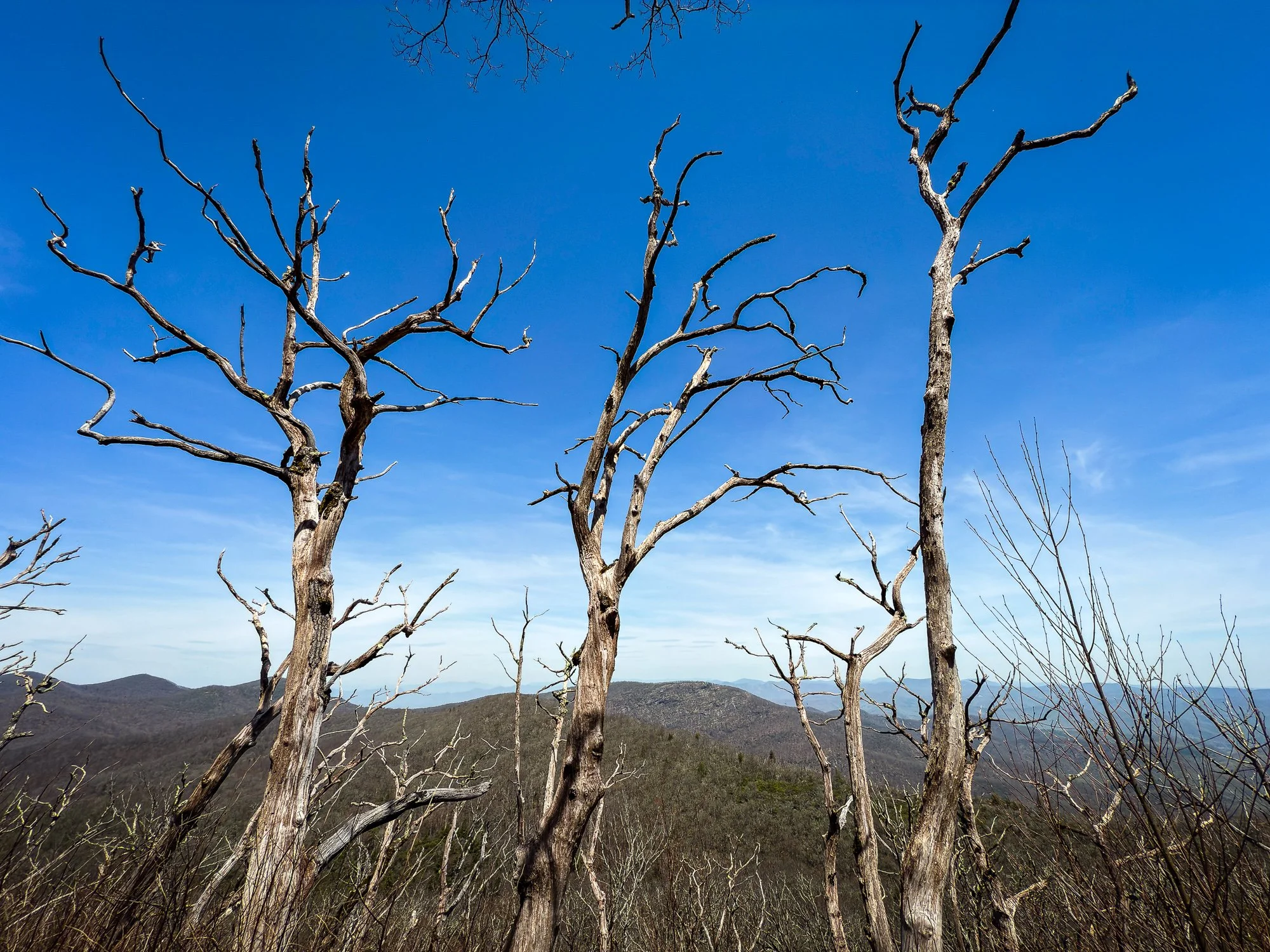
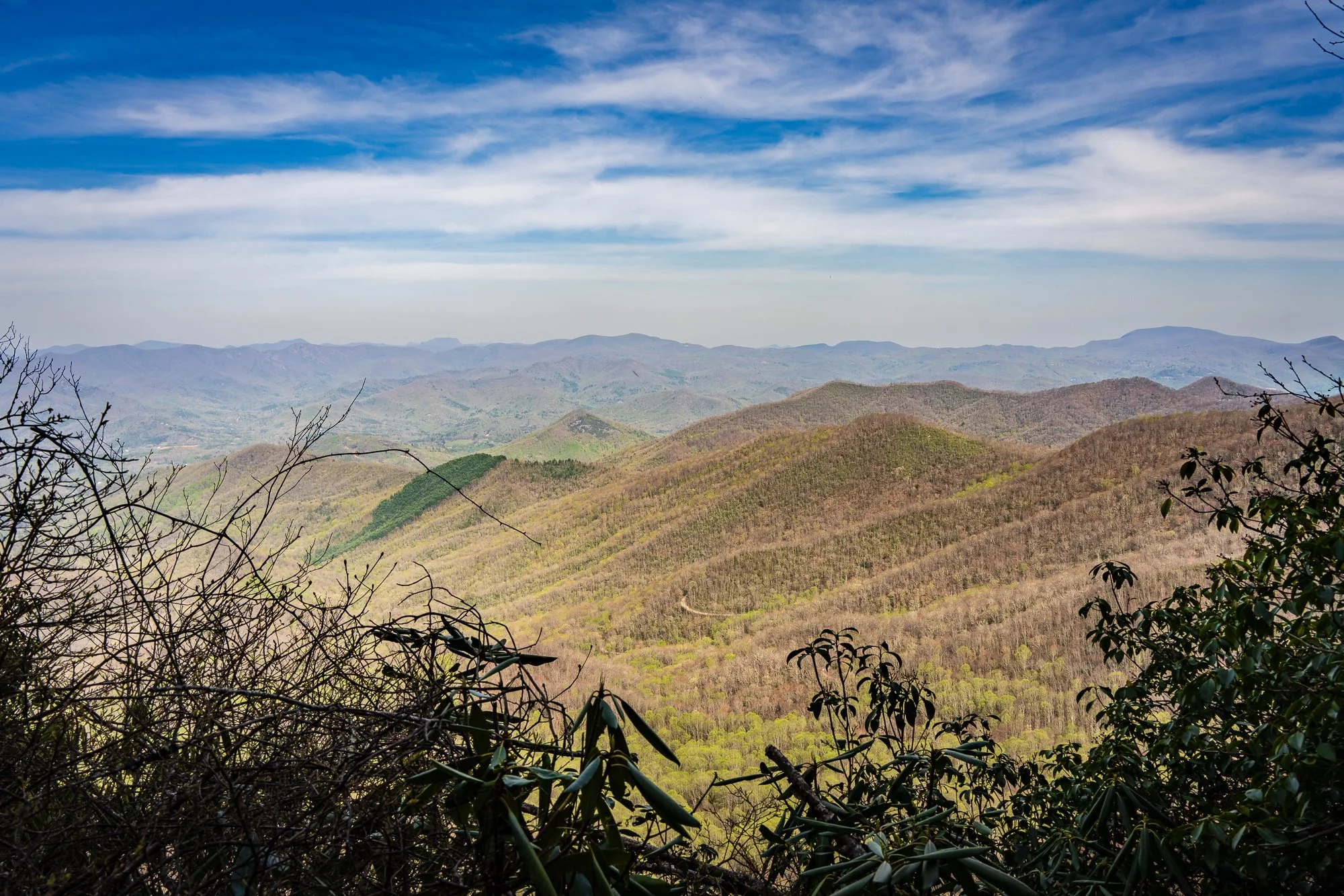
Mile 87.6 Standing Indian Mountain Peak
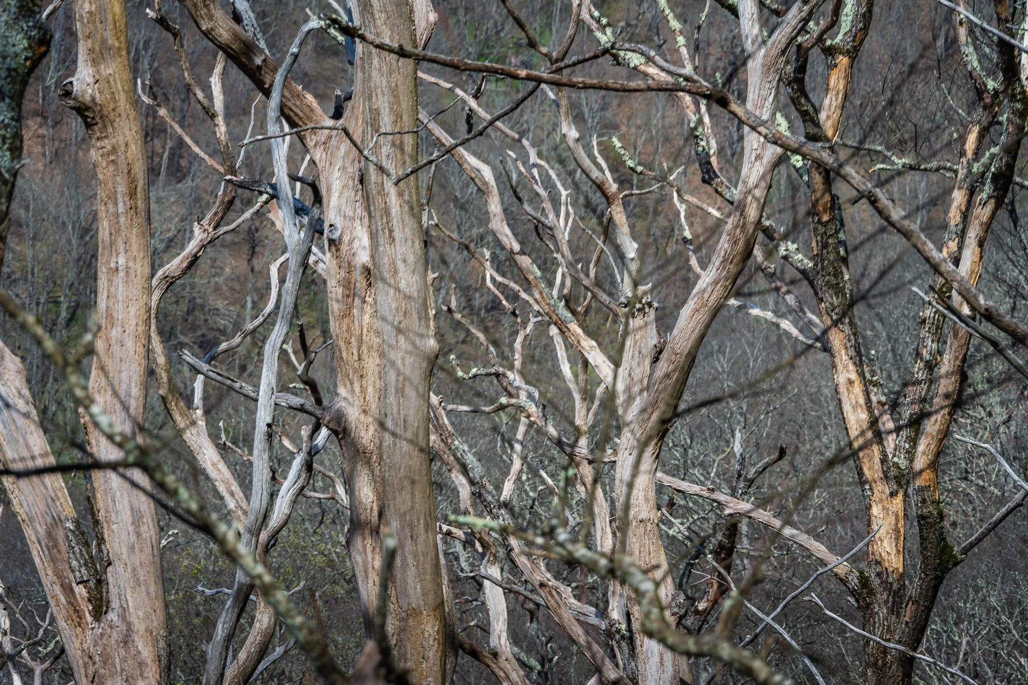
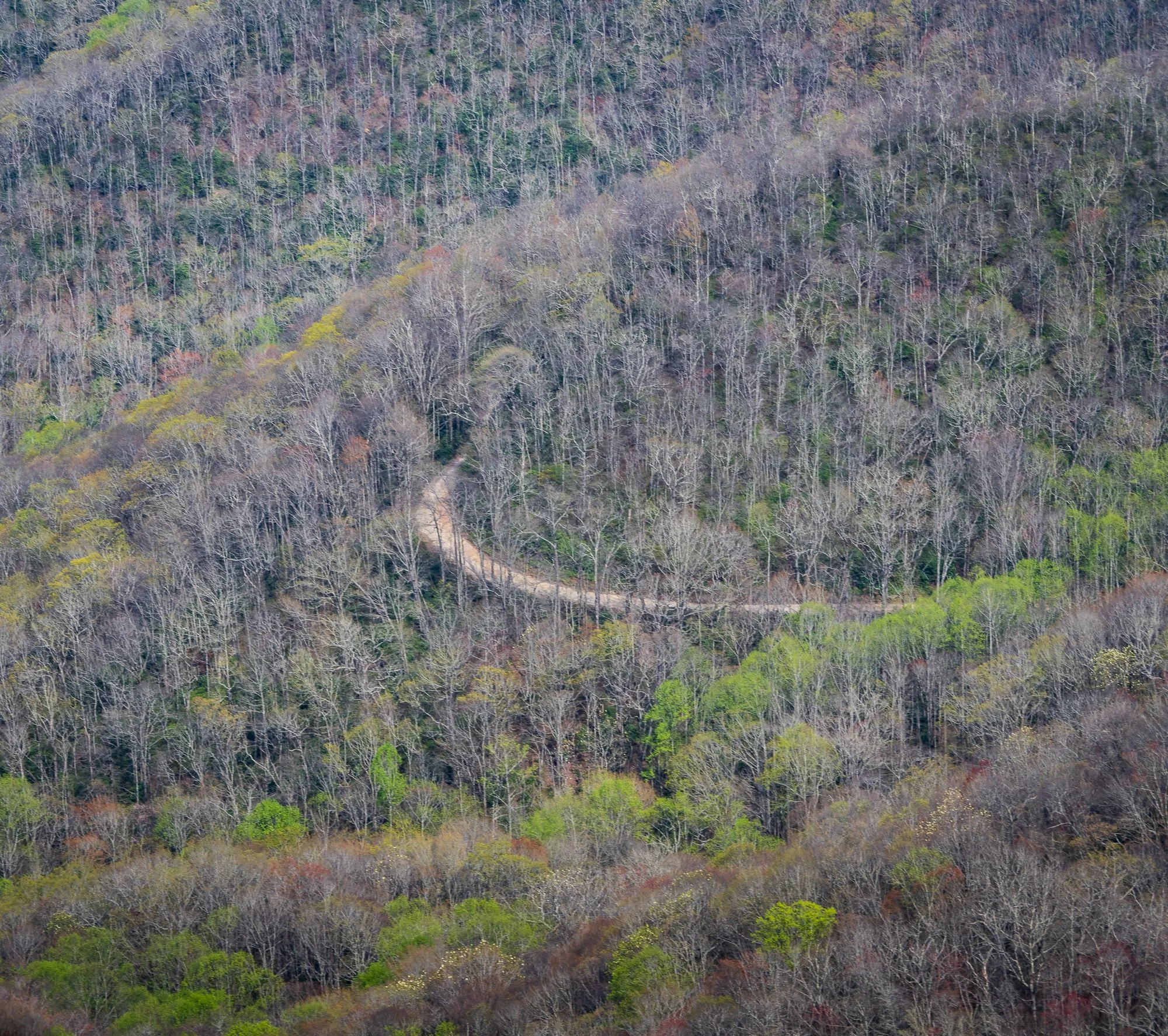
The view of the Georgia Blue Ridge from the mountain top was spectacular. Last time we have such a view on the peak was Blood Mountain, if I remember it right. The bare trees made it very interesting and unique.


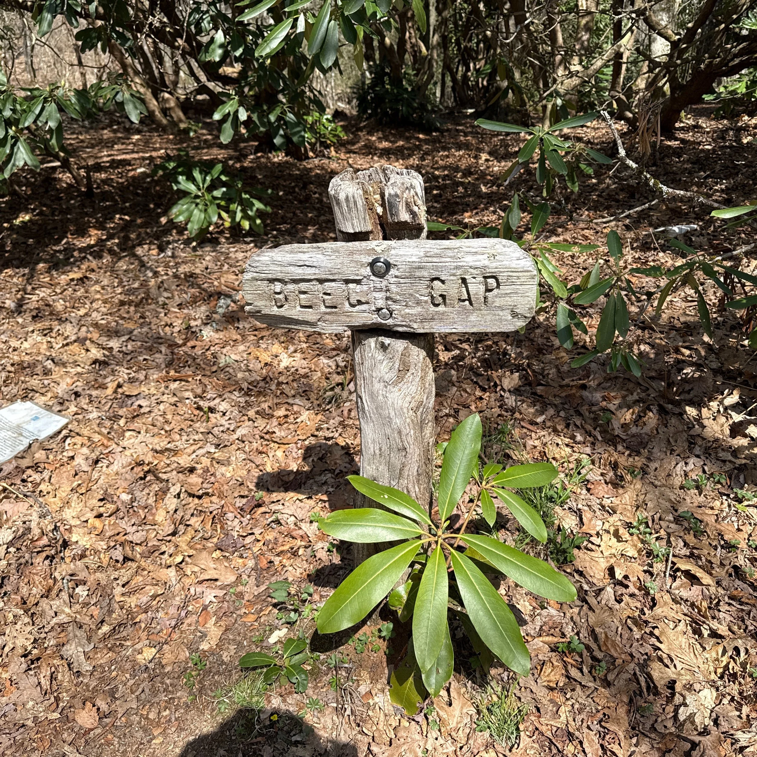
Mile 90.5 Beech Gap
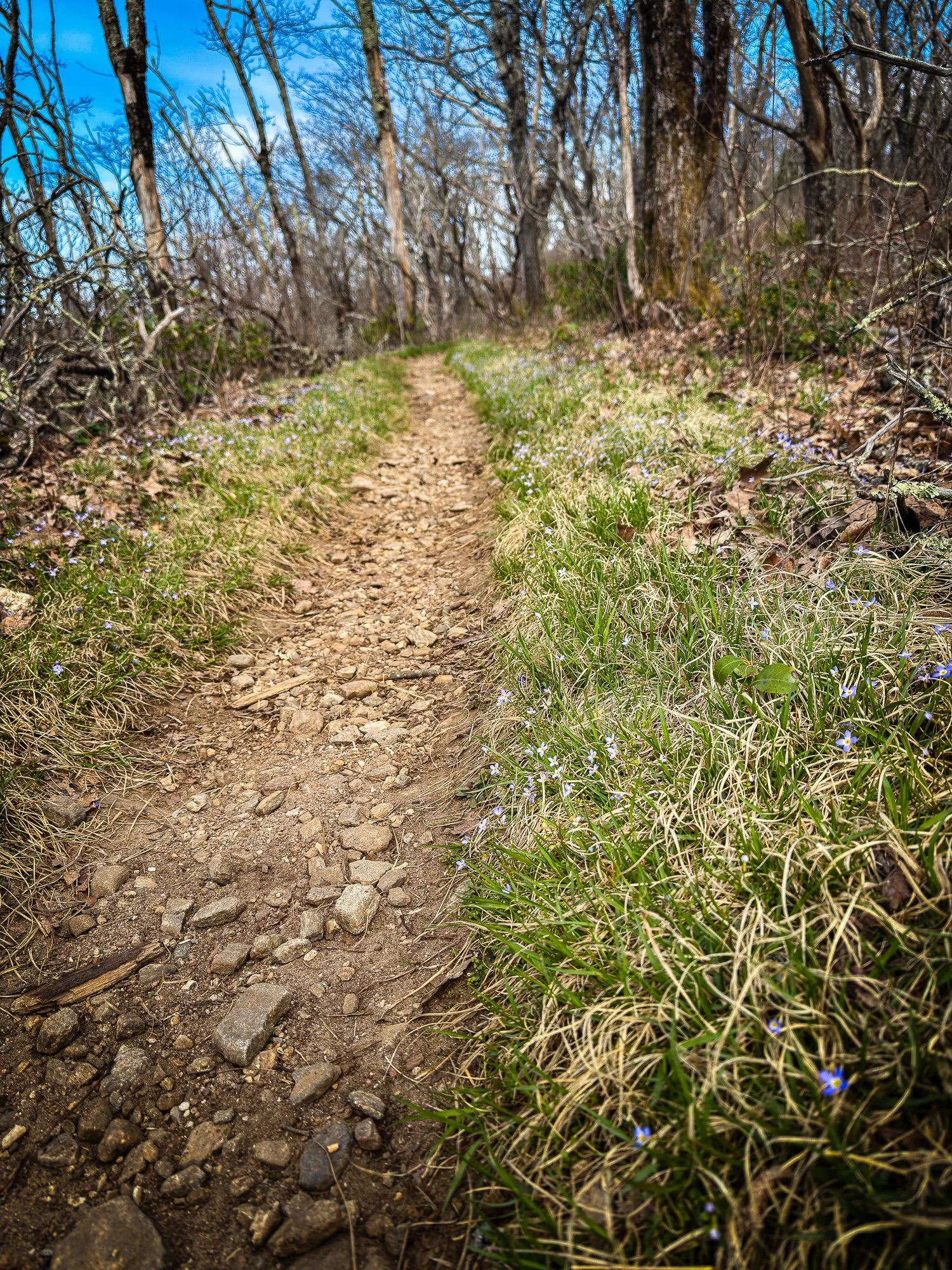
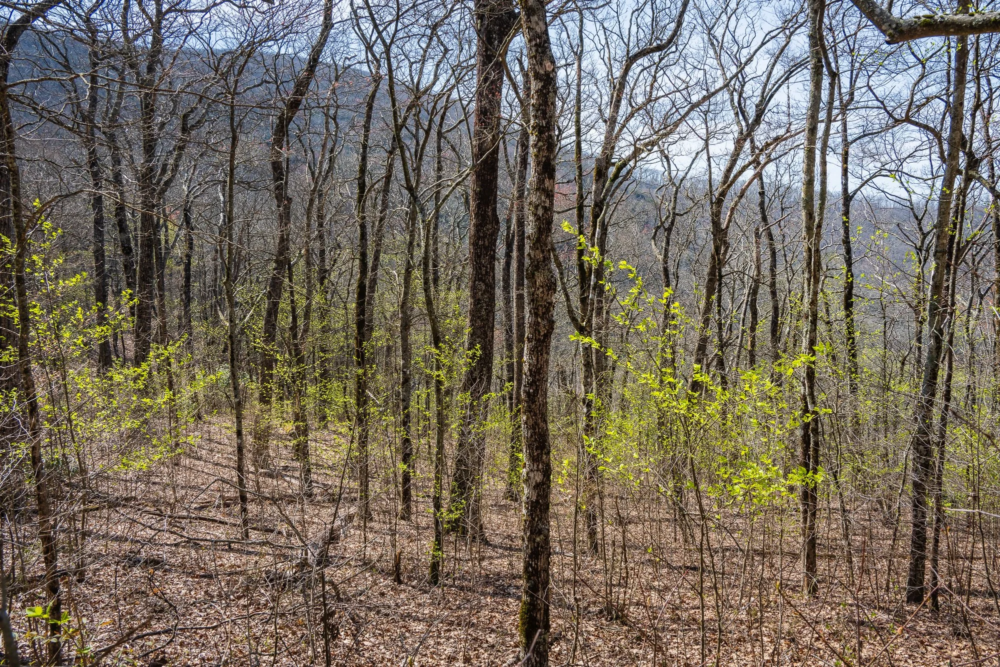
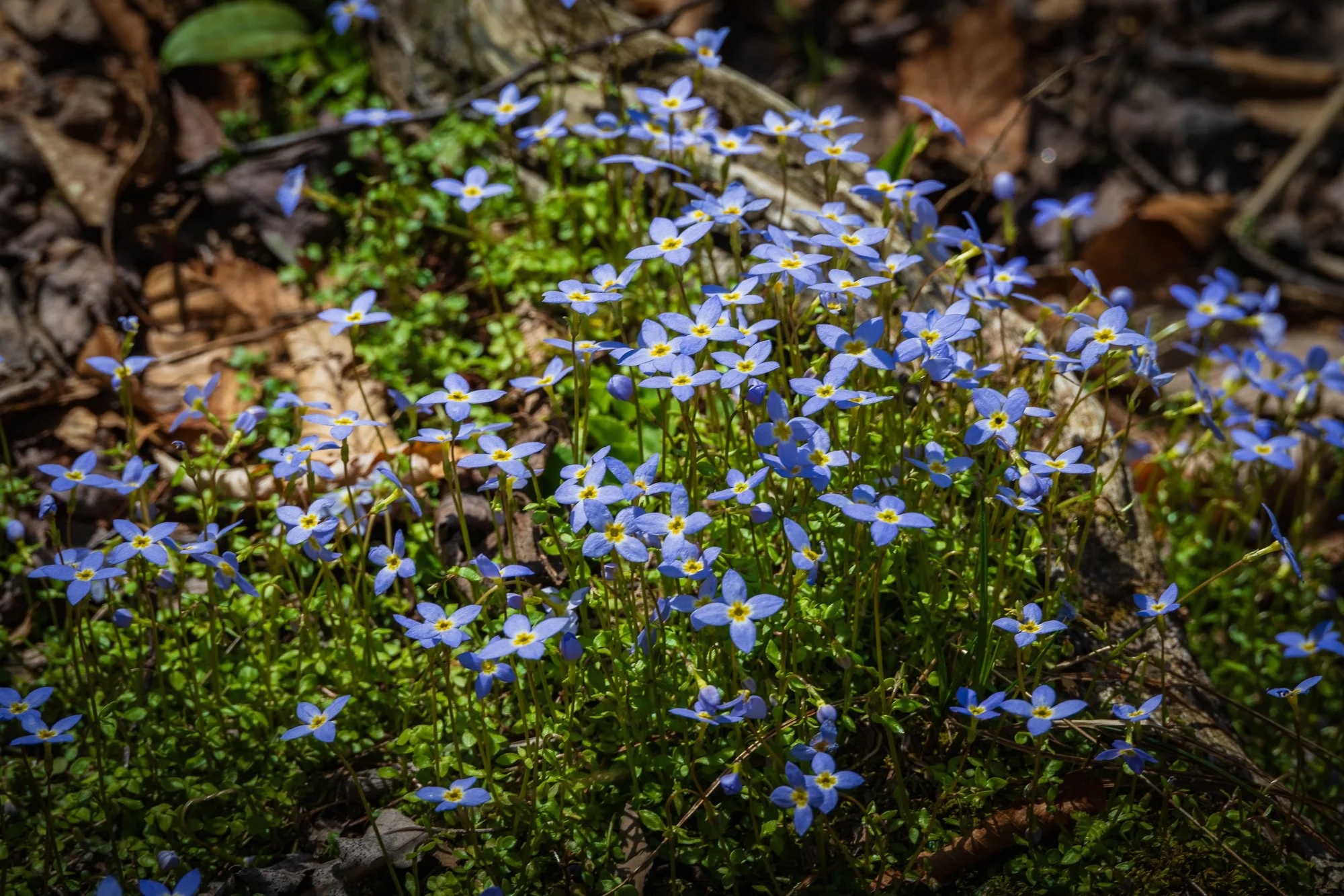
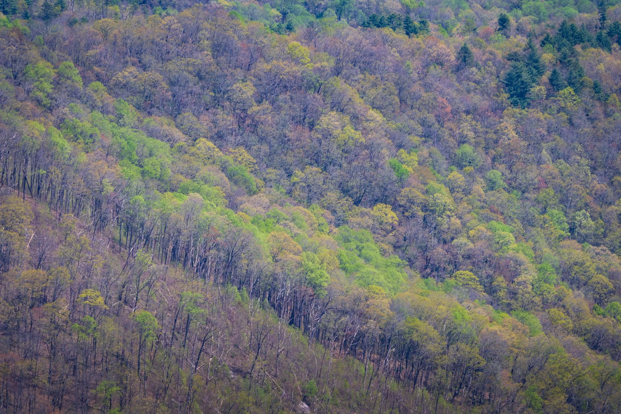
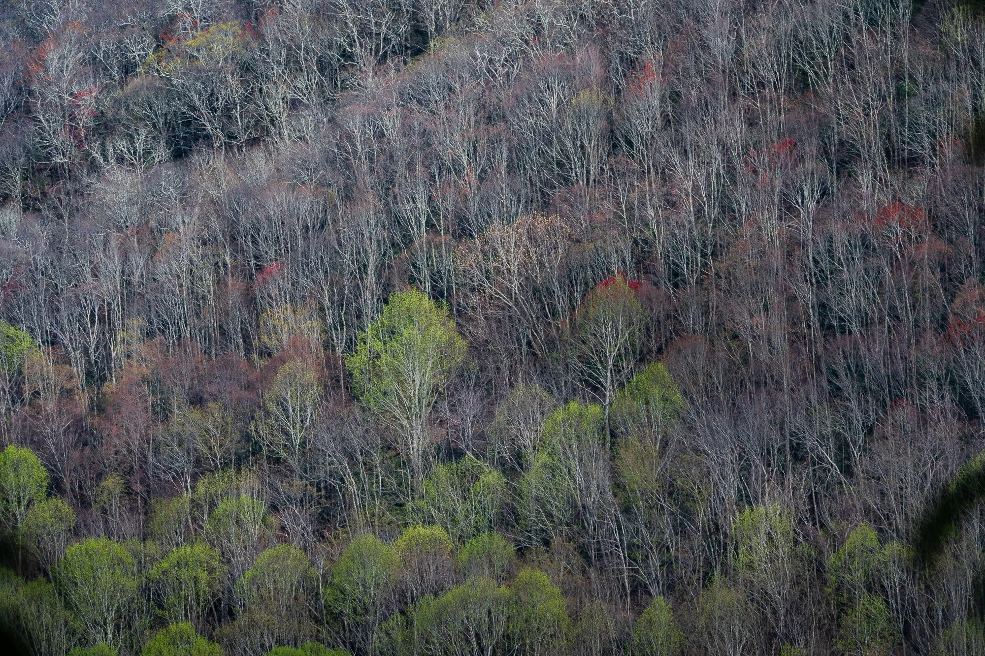
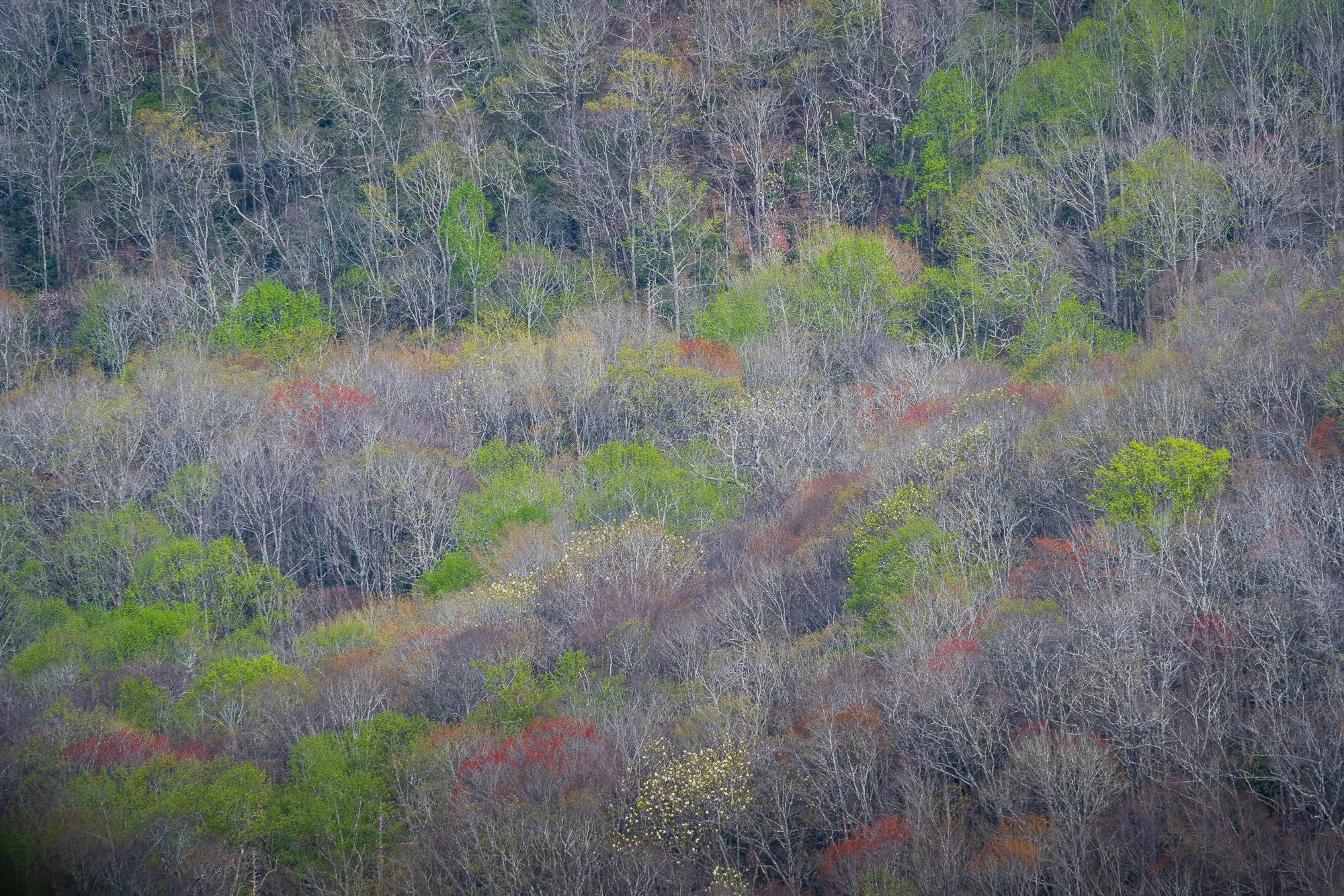
The trees in the city have almost all turn deep green, but in the mountains here, spring is about to Strat. The trail was lined by patches of azure bluet (quaker ladies), smiling at us in the sunlight.

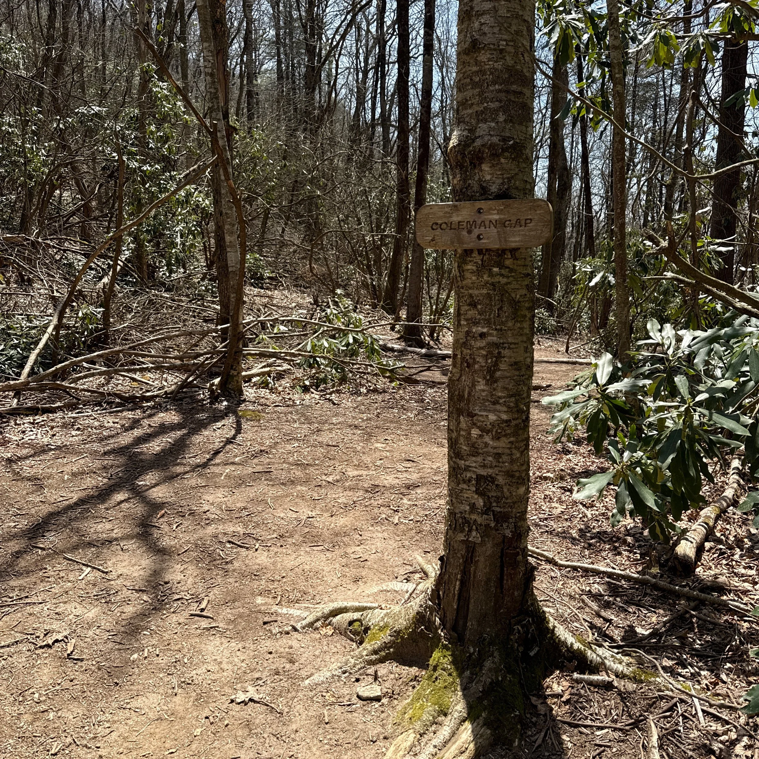
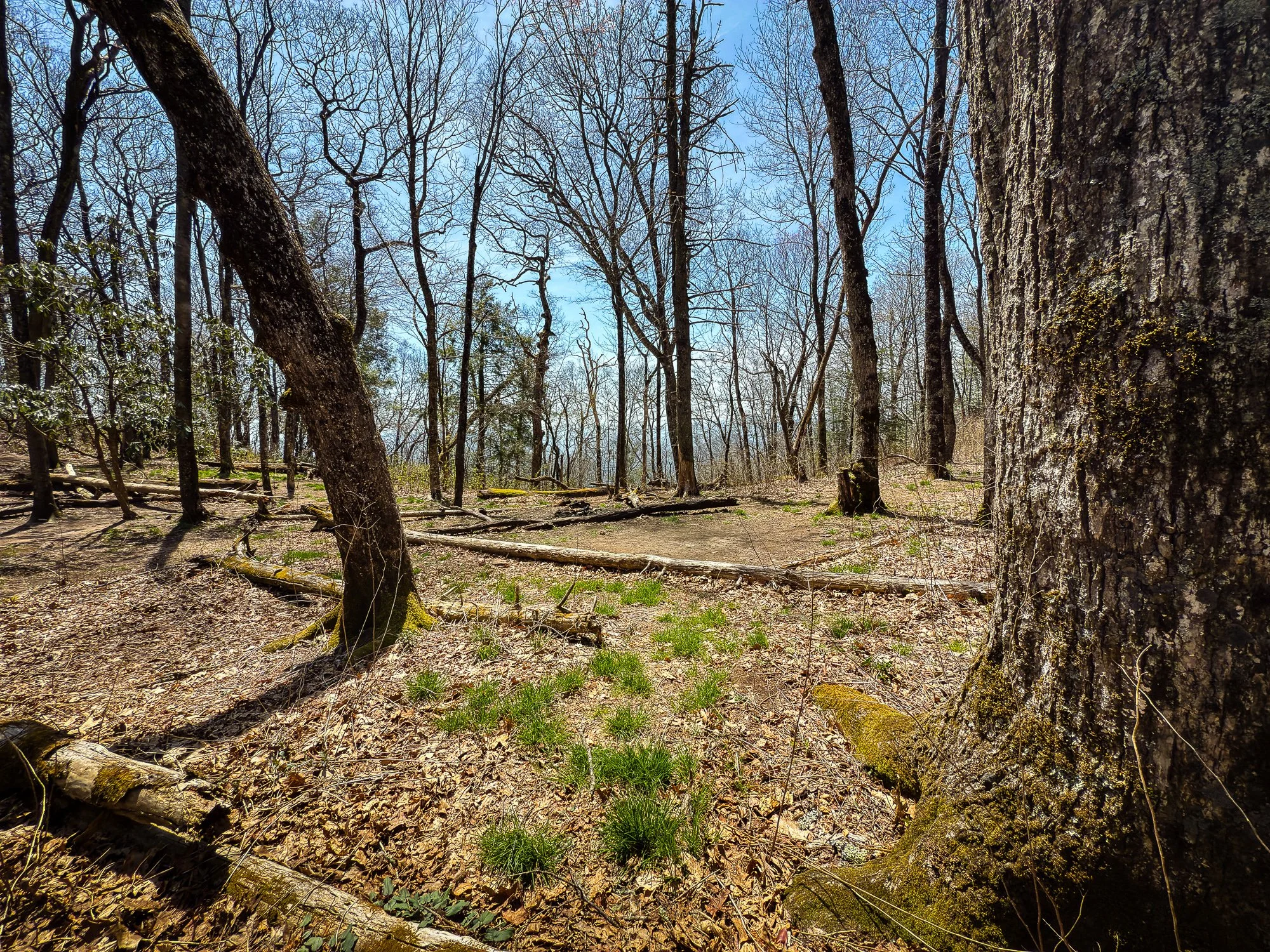
Mile 92.3 Coleman Gap
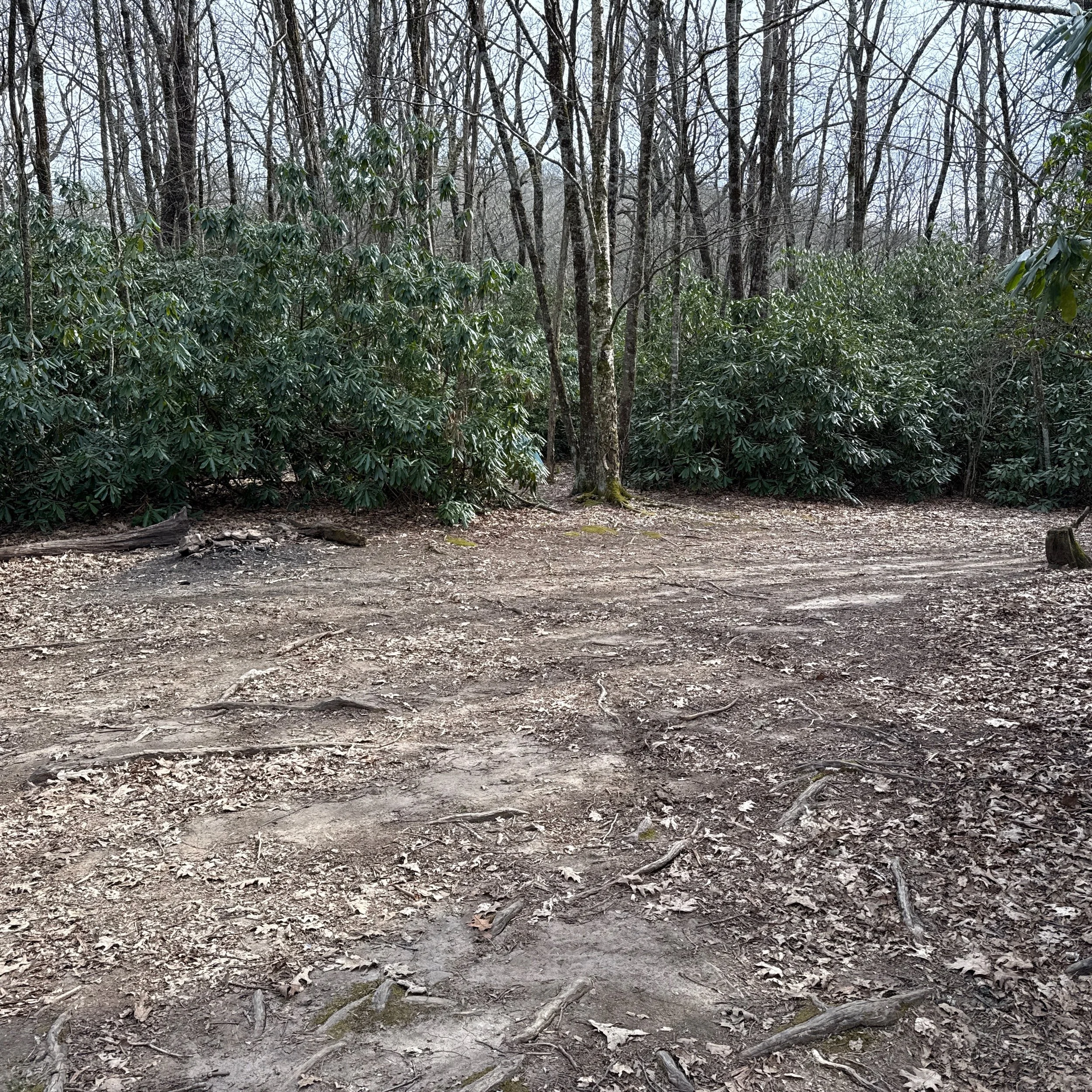
A large flat area with plenty of camp sites.


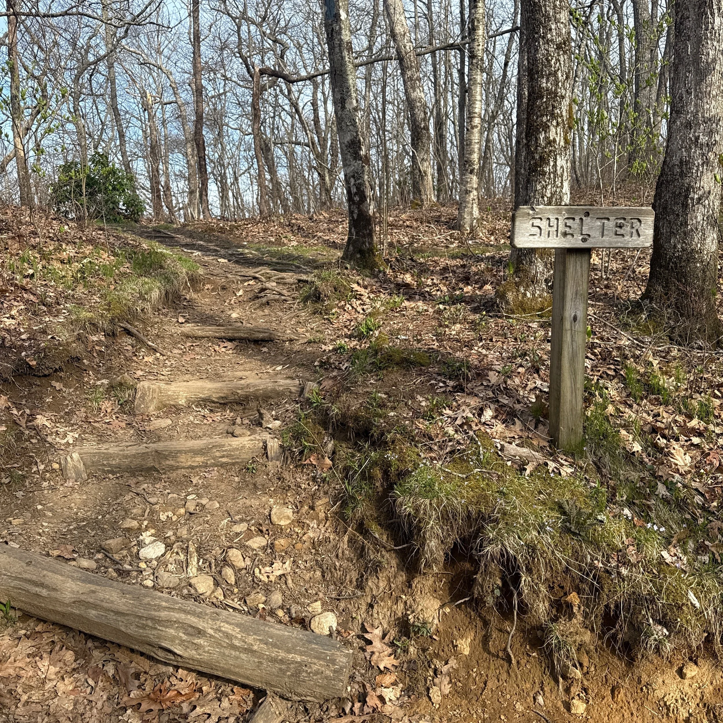
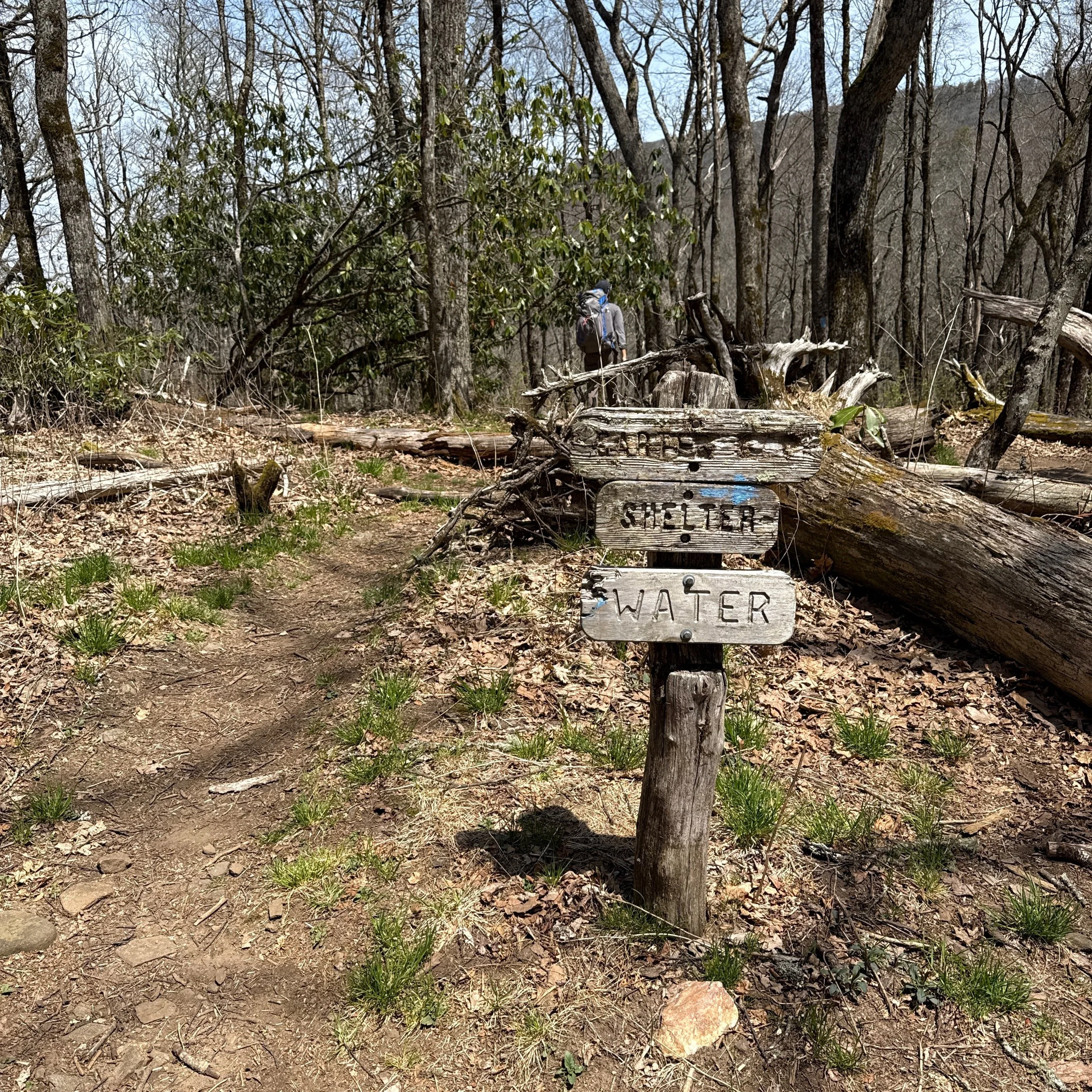
Mile 93.7 Carter Gap Shelter
According to the guidebook, there are supposed to be two shelters in this location: the old one built in 1959 on the west side, and the new one built in 1998 on the east. Andrew walked a few steps from the trail following the water and shelter sign on the left, but did not see the old shelter. The new one on the other side of the trail though was visible and near. There are also plenty of camping sites near the shelter.


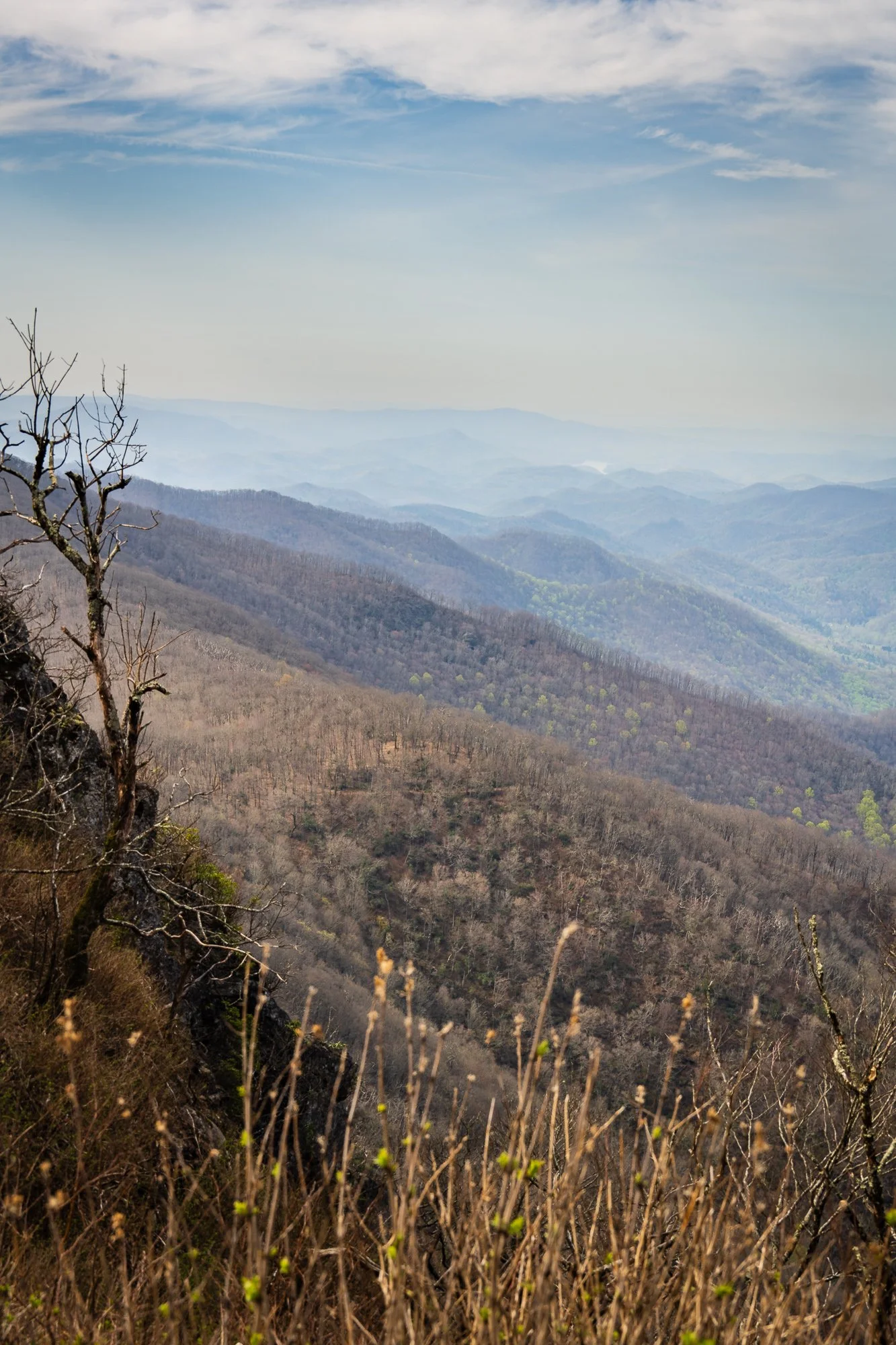
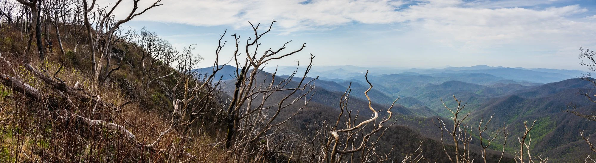
Mile 95.1 Ridgepole Mountain
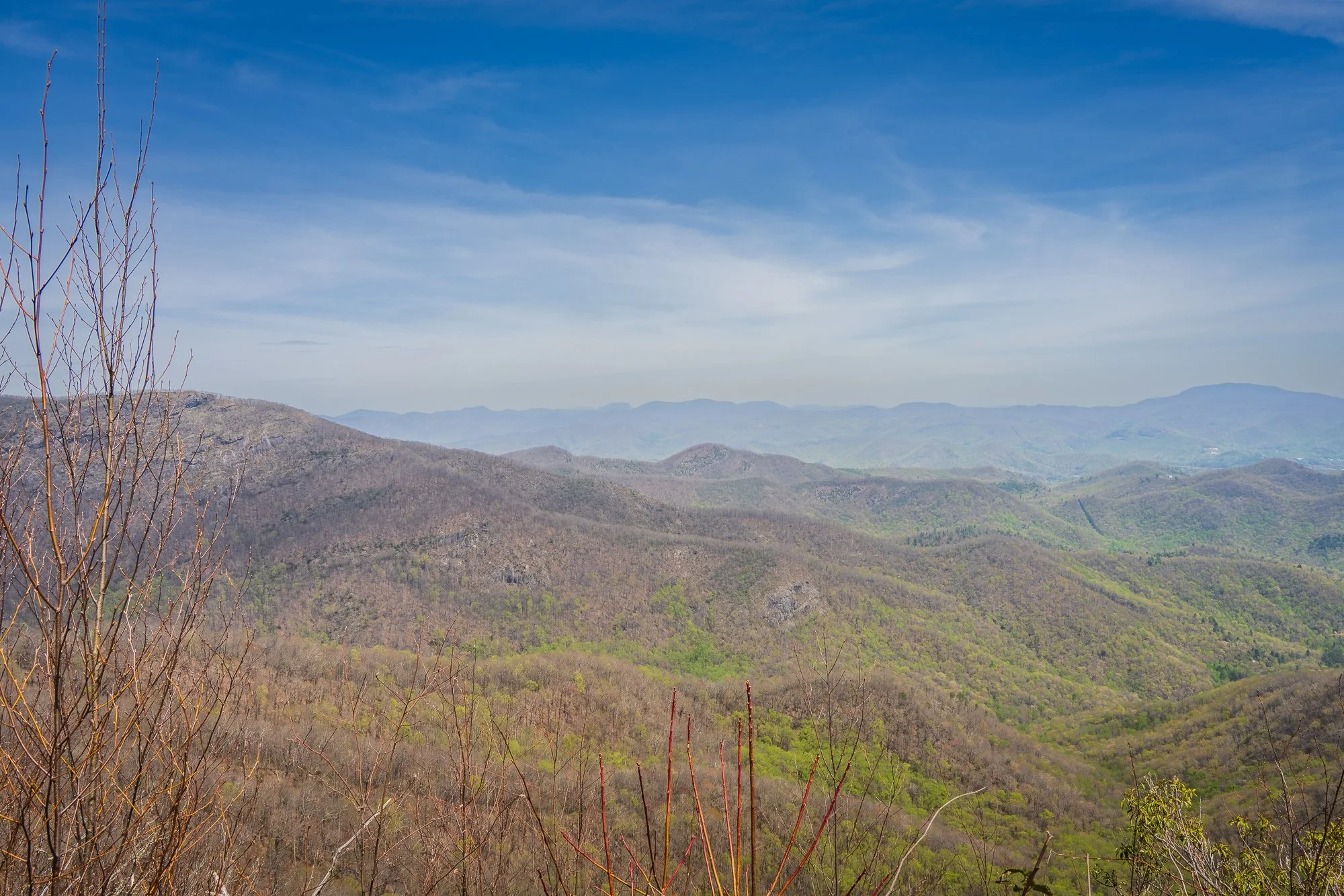
From here to Springer mountain: the trail mostly follows the eastern Blue Ridge Mountain. From here to Fontana Lake, it follows the Nantahala Mountain. View on the left of the trail.


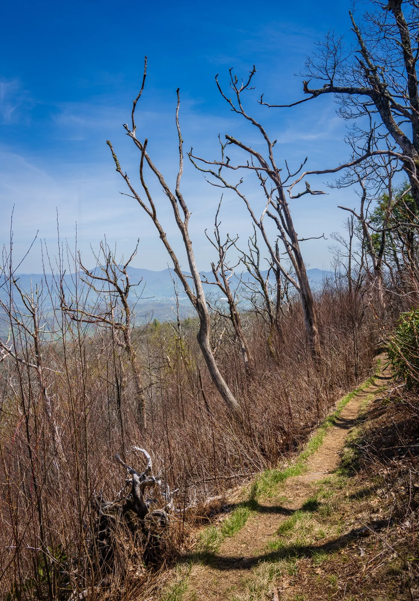


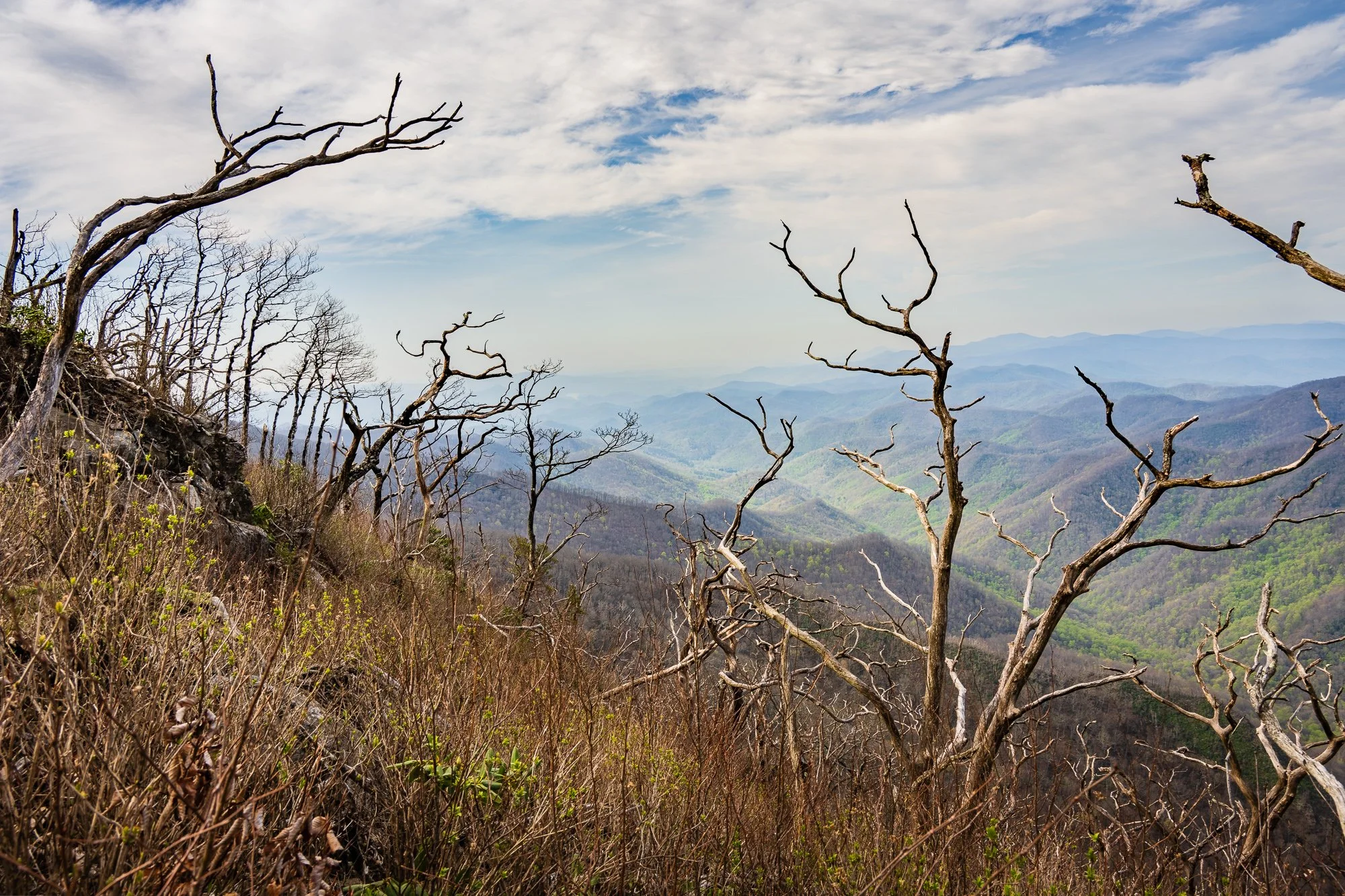
Mile 95.4 Little Ridgepole Vista
The vista is just a few steps away from the trail. Definitely worth a look as it took no efforts.

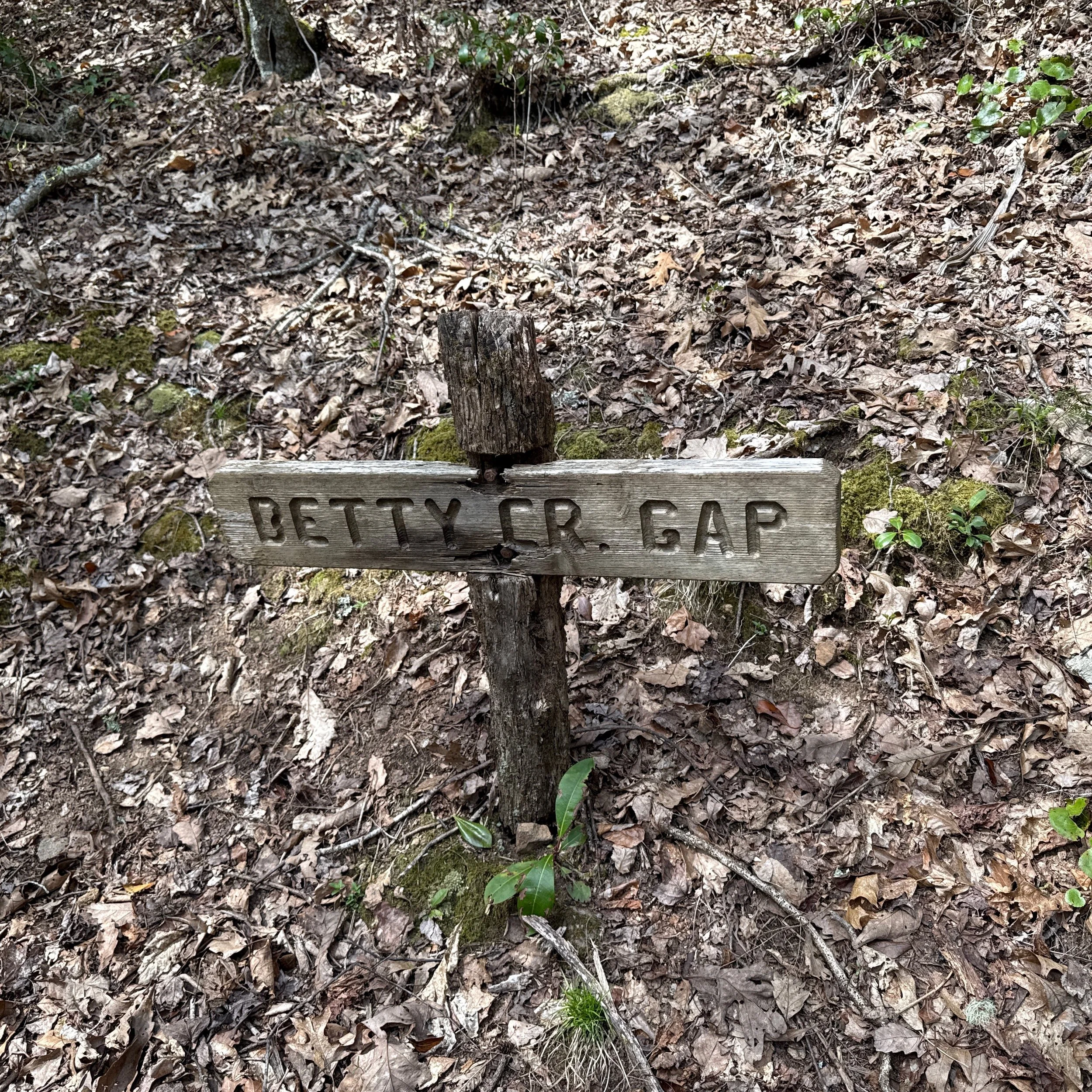
Mile 97.7 Betty Creek Gap
Mile 98.3 Mooney Gap/USFS 83
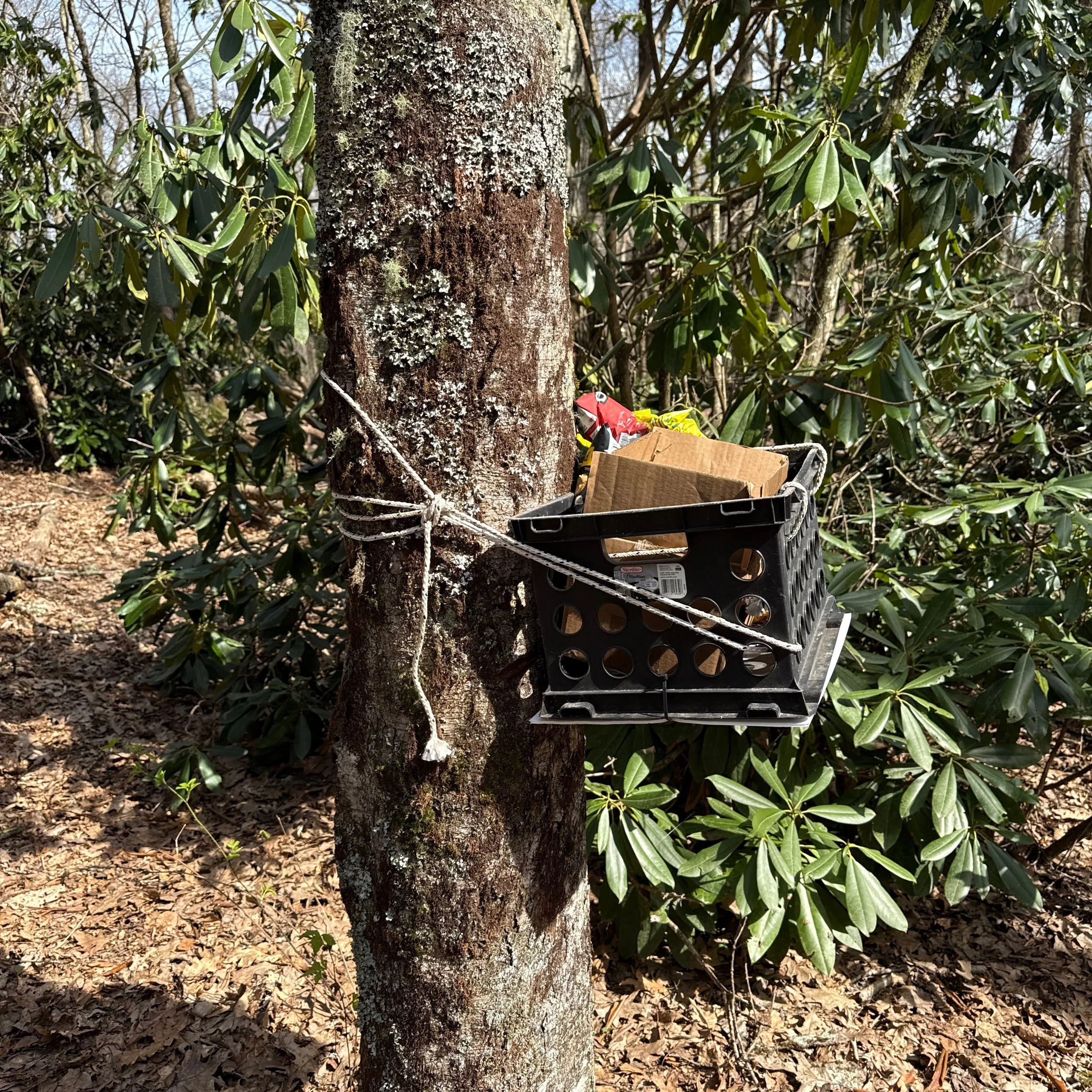
Gravel road cross. We also encountered a trail angle - snack box with spam, salty snacks, etc.


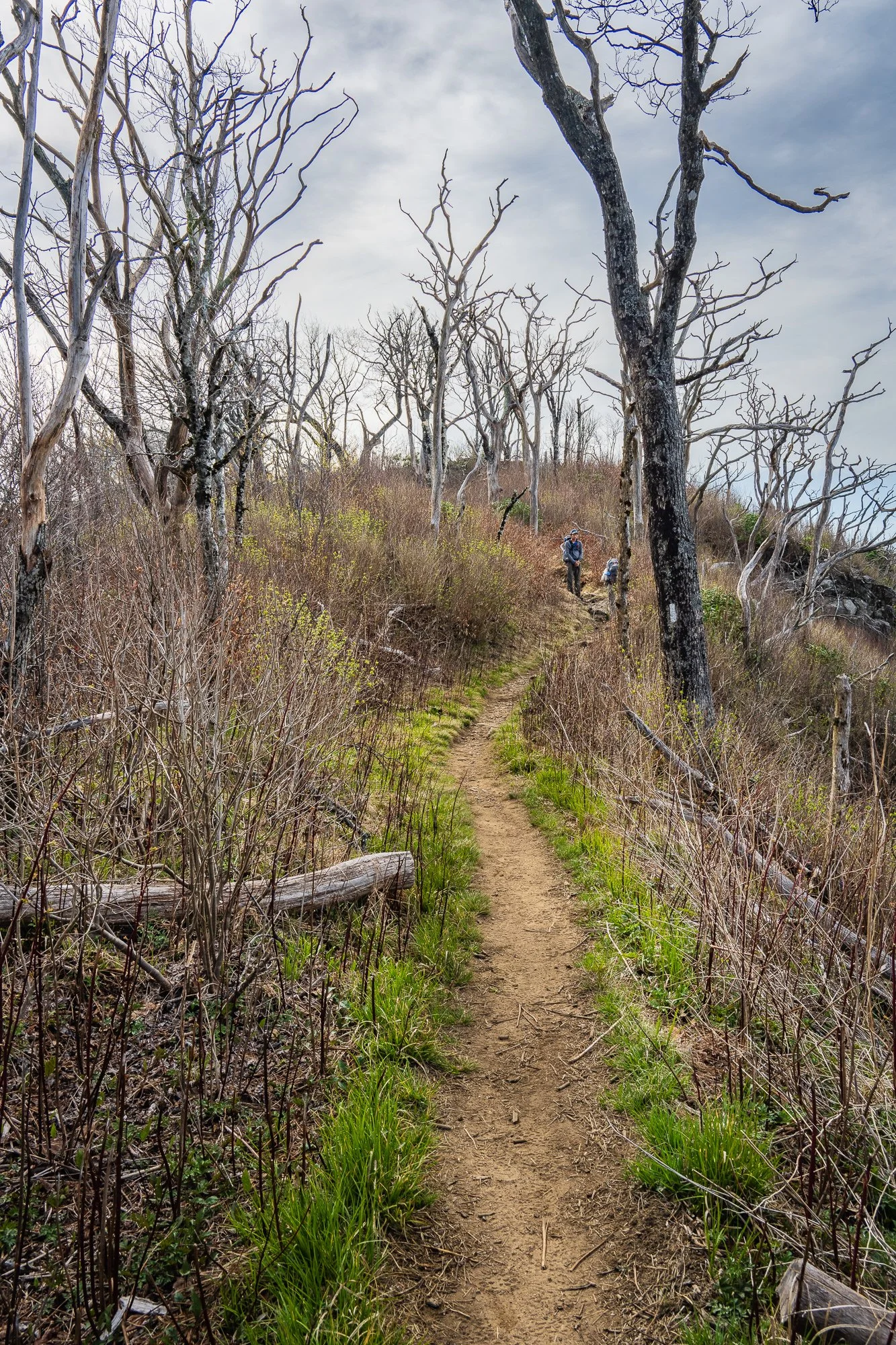
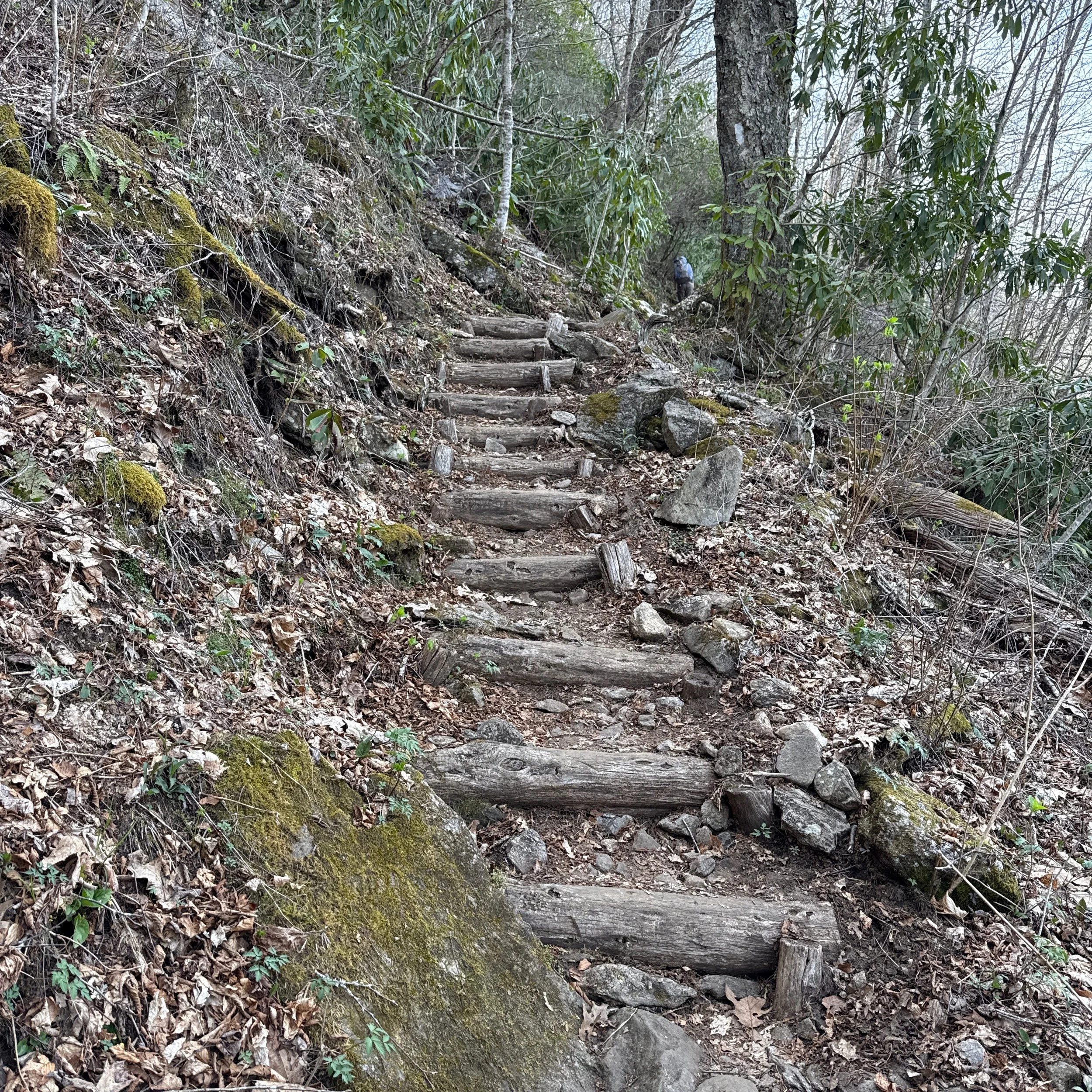
Mile 98.6 Log Steps
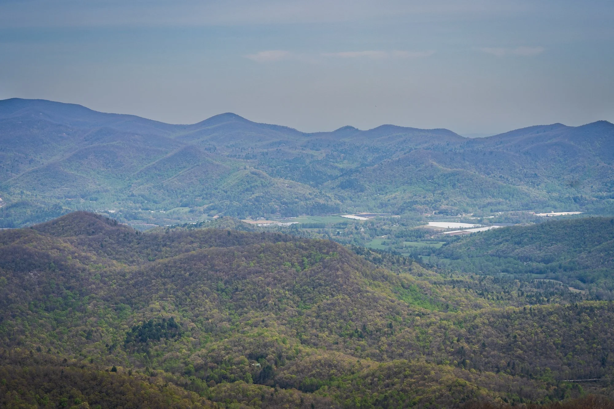
Several sections has log steps to climb. Mile 98.7 has a view on the right into Coweeta Valley.
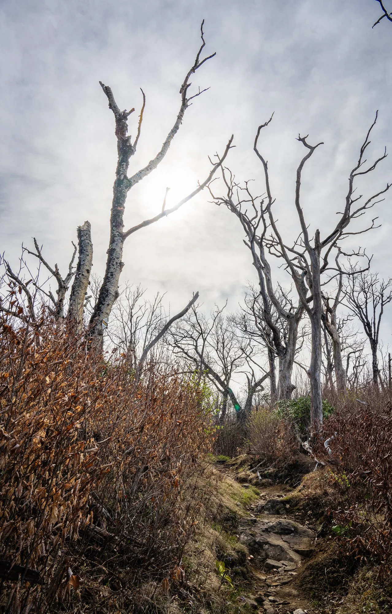
Mile 99.2 Bearpen Gap
There are several nice flat camping sites sectioned by the rhododendron bushes. It was near 6PM but still bright, so we were on track to pass this gap and reach Albert Mountain fire tower for some nice views and photos soon, then get to Long Brach Shelter before dark. However, my sister twisted her ankle again. After the previous two twists earlier of the day, this is the last straw. Her ankle was swollen and she could walk anymore. We had to change our plan and called the plan off. Our shuttle driver is Greg (715) 315-0849, who responded to our request quickly. Looking back, this has been a very productive and pleasant day.