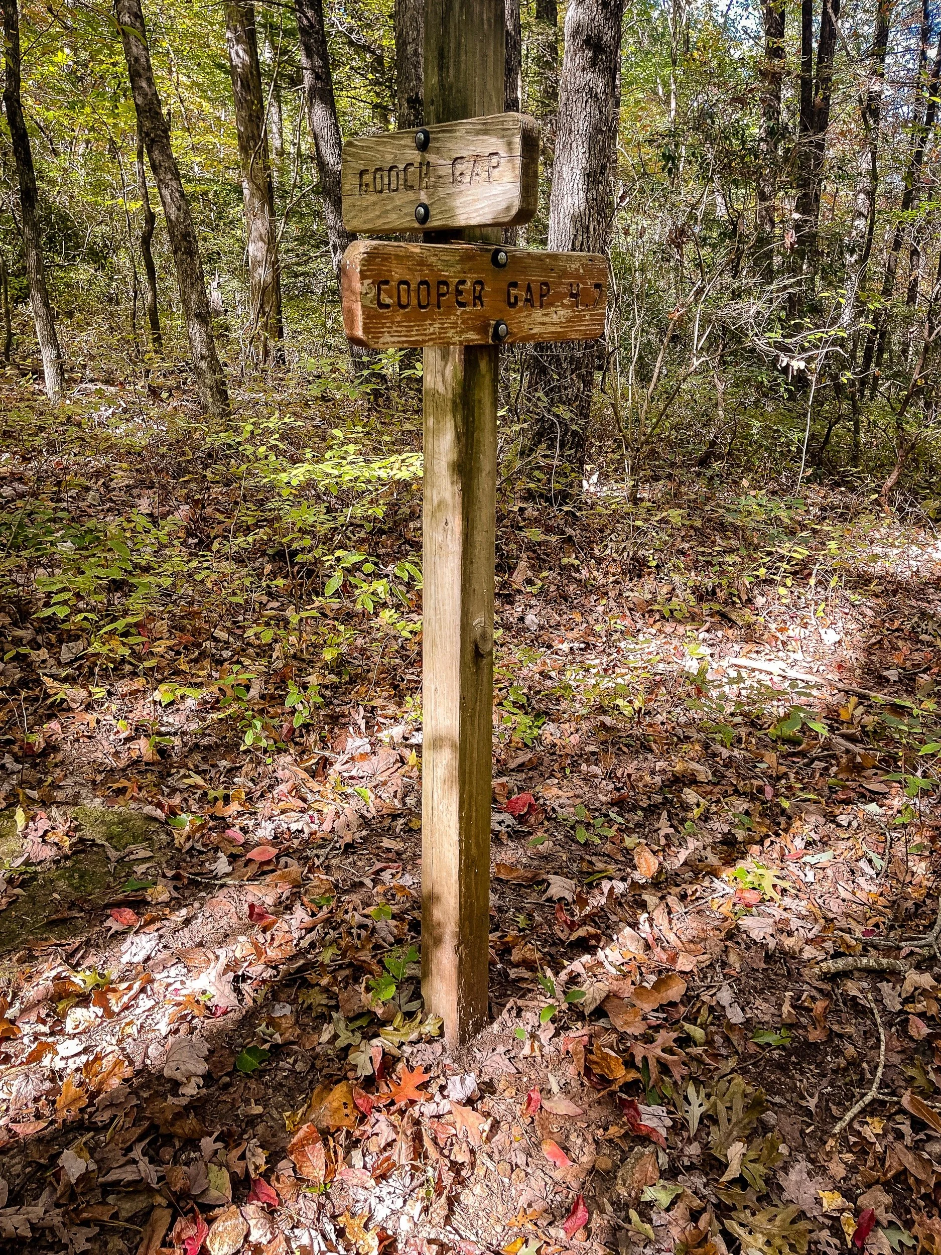
Day 2 [Georgia: Mile 4.3 - Mile 16.9] Three Forks -> Gooch Gap
Date: October 14, 2024 (Monday)
Total Distance: 12.6 miles
The night before, I set up the shuttle service with Ron (706) 669-0919 to pick us up at Three Forks in the morning and send us to Gooch Gap, so we can hike back to 3 Forks. But from Ron we learned that the norm for the day hike is parking your car in the destination in the morning, and shuttle will drop you off at the starting point to hike to the destination.
While we were waiting for Ron in the car in the morning, from the side mirror, I saw a black bear crossing the road. It happened so quickly there was no time for me to take a photo. We also witnessed three turkeys crossing as well on the way to 3 Forks in the morning. That’s all the wildlife we have identified throughout the day.
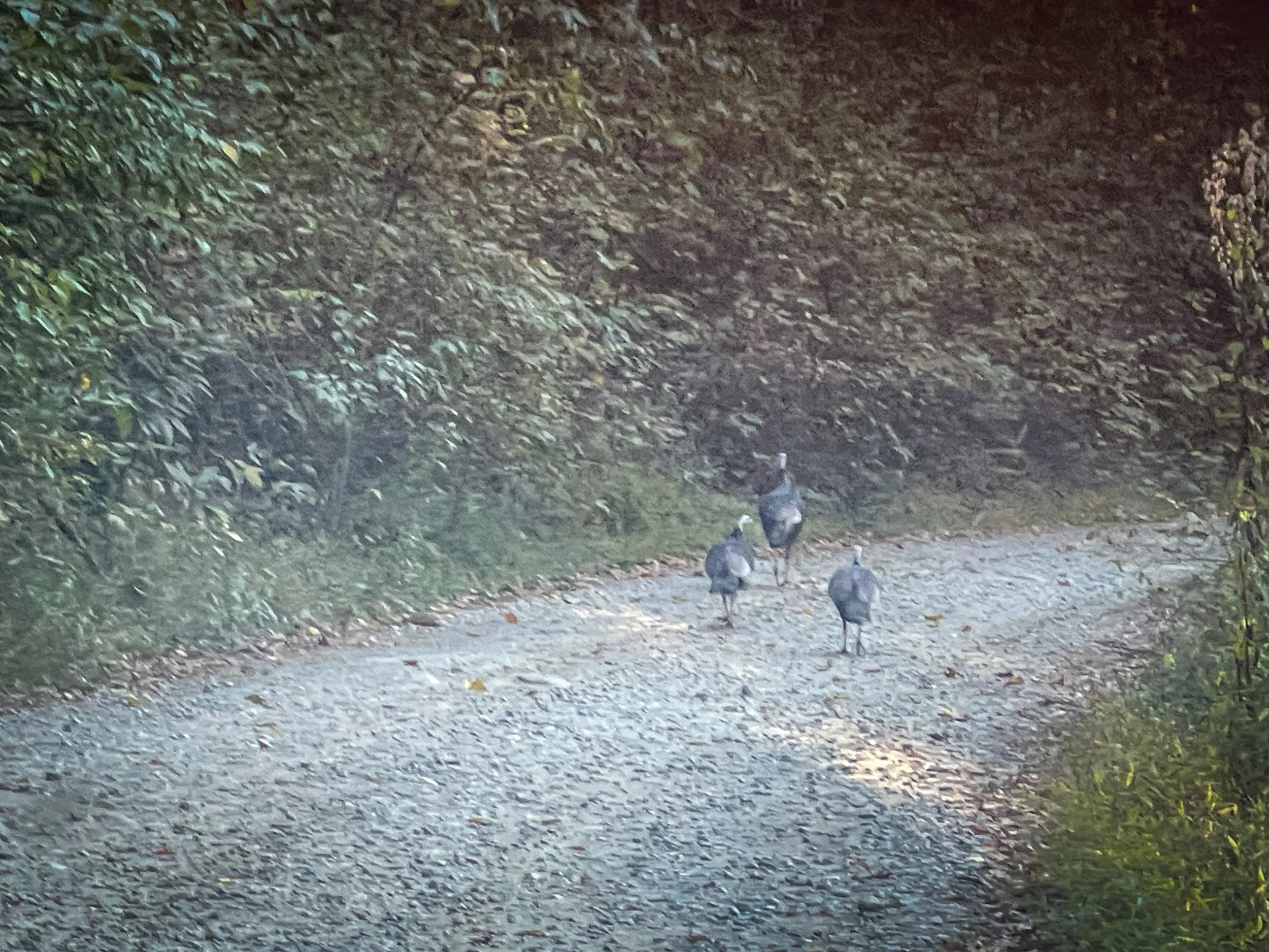
Mile 4.3 – Mile 8.6: Three Forks -> Hightower Gap


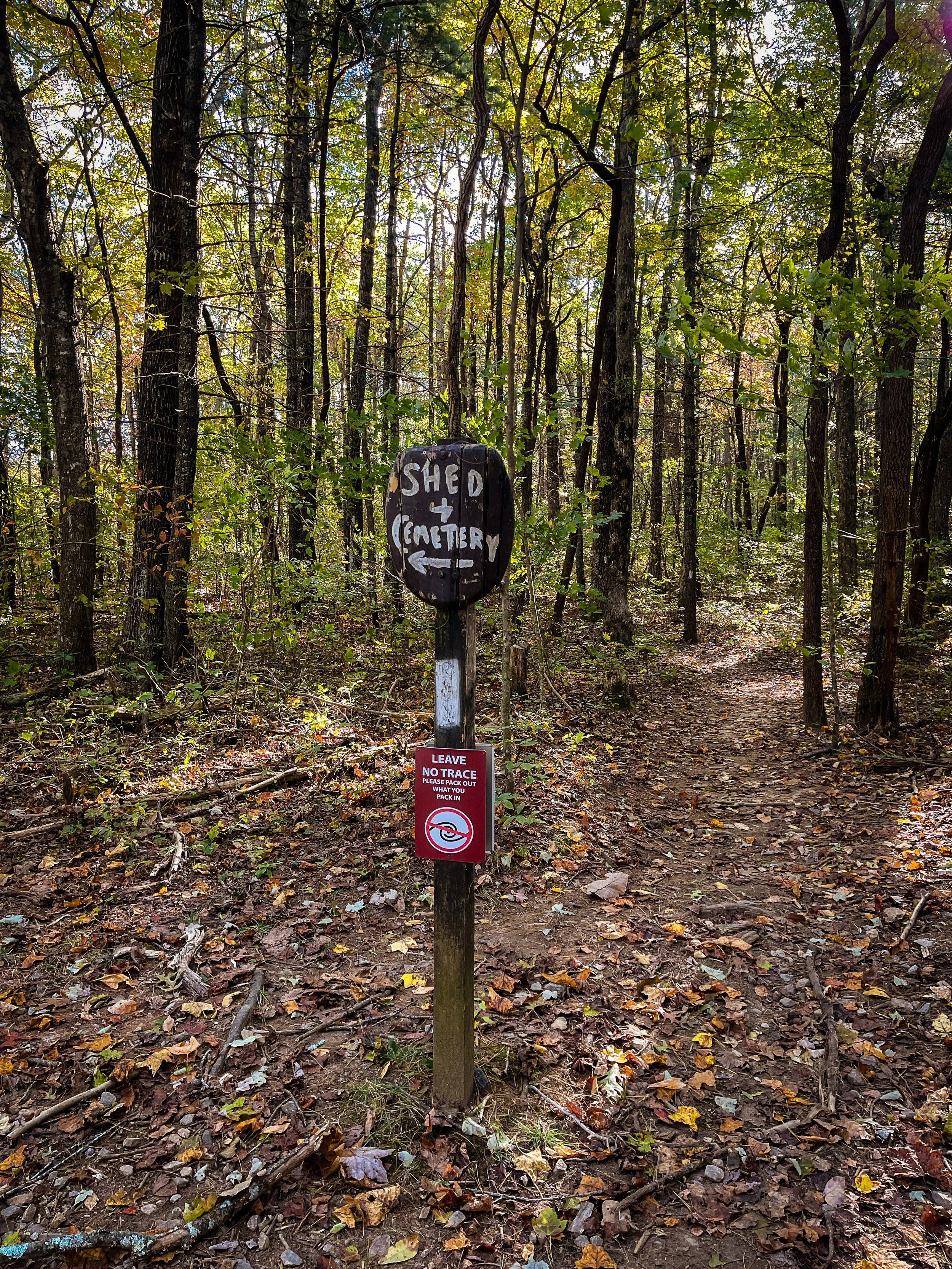
Mile 6.2 Hickory Flats A big lawn on the right next to the AT, which I believe used to be the site of Hickory Flats School. A hand-painted sign points to a shed and the old cemetery just off the trail.
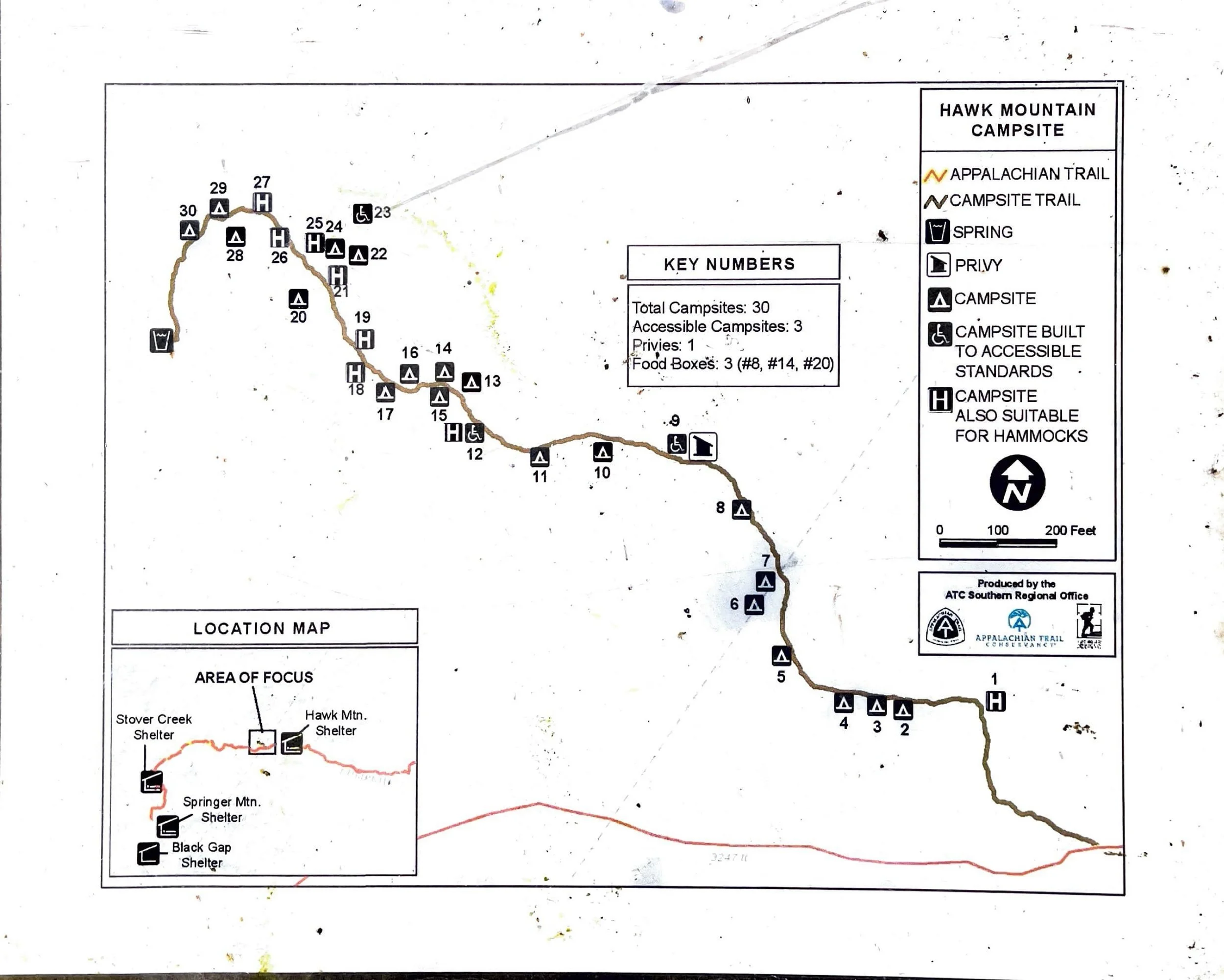
Mile 7.4 Hawk Mtn Campsite: Reached by hiking a short distance left from the AT. A map board at the junction shows the whole campsite: 30 tent sites (3 built to accessible standards), one privy, a spring, and 3 food storage boxes. It is one of the largest campsites we have seen on the trail so far.
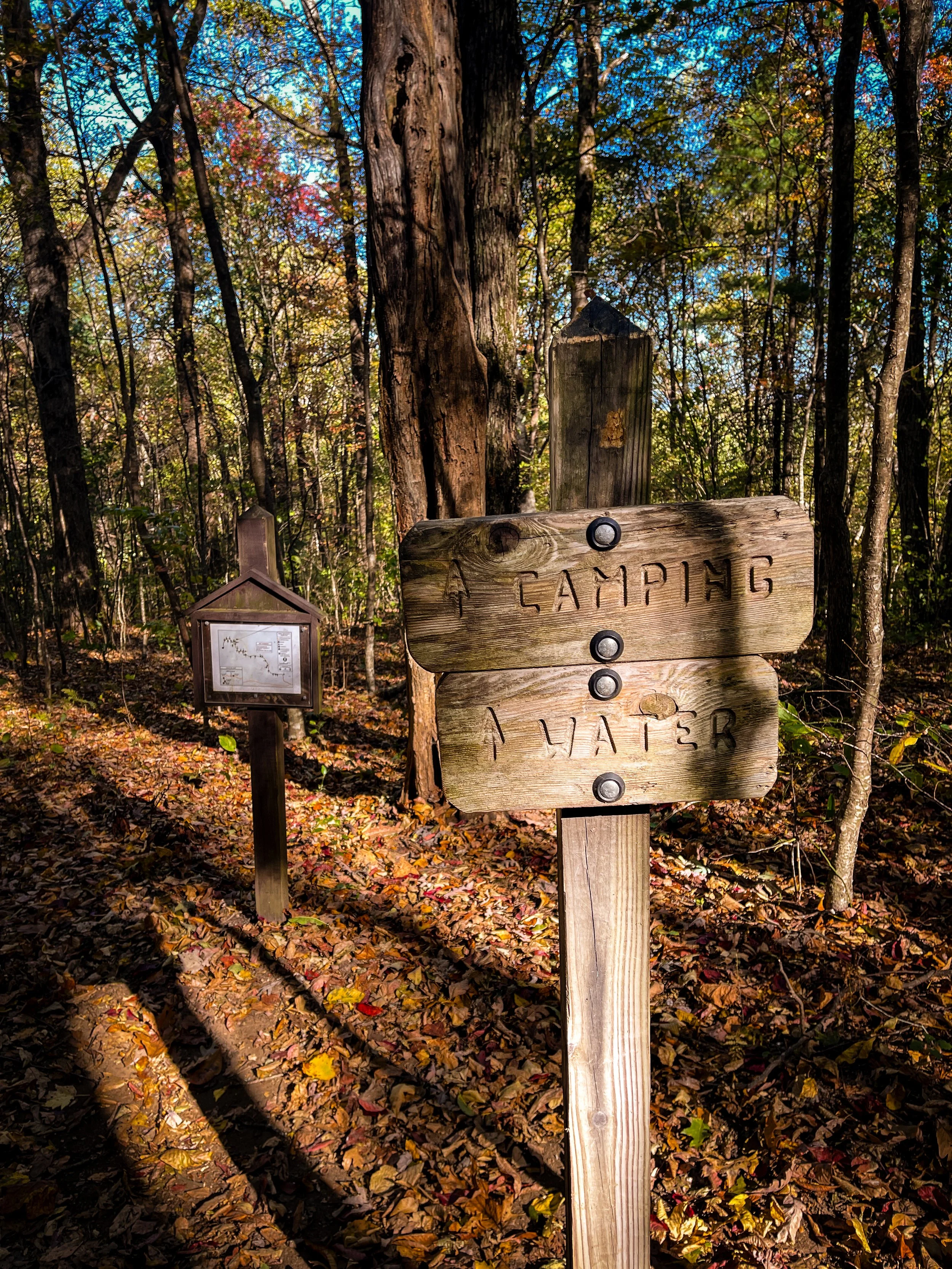
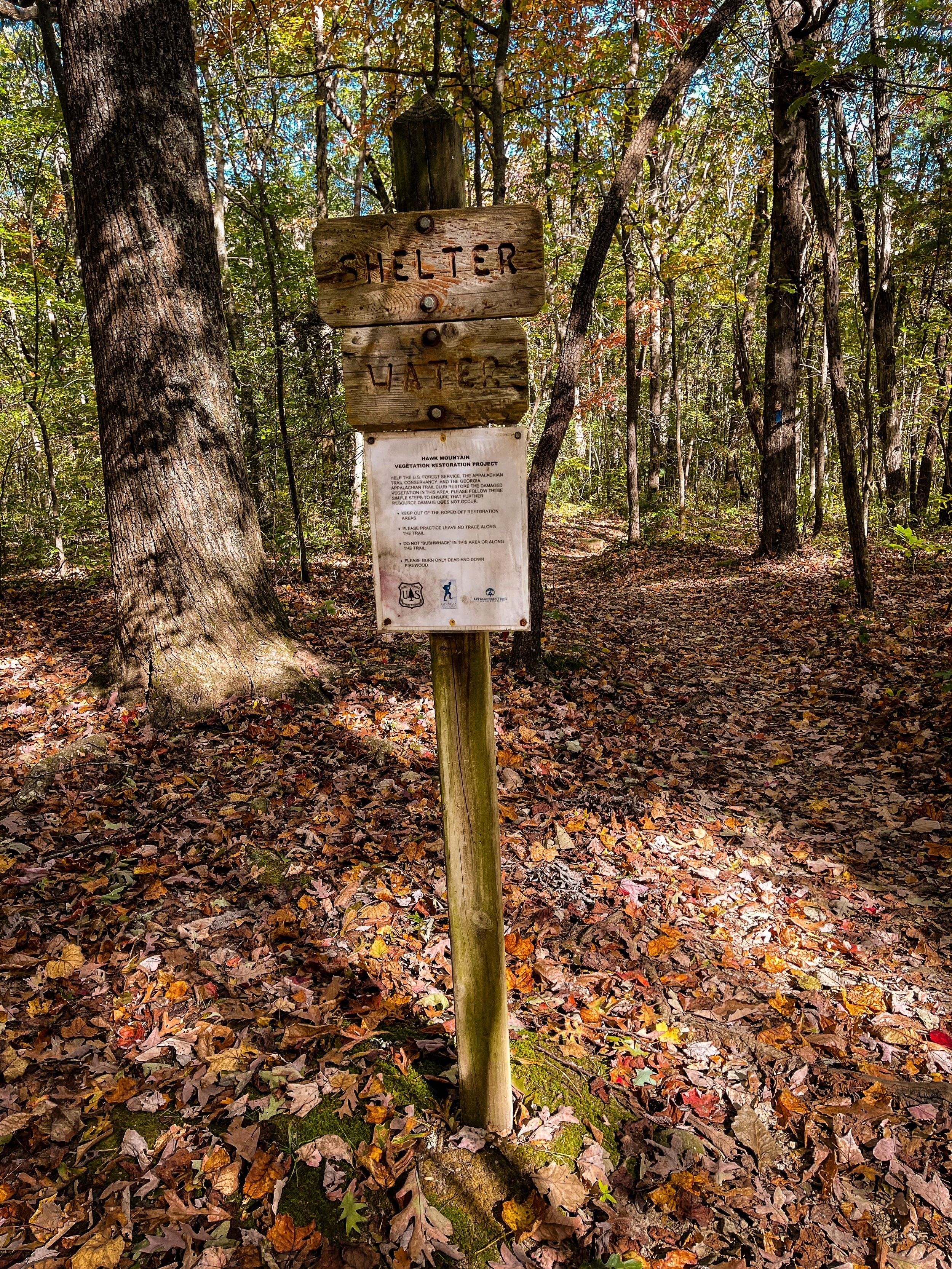
Mile 8.1 Hawk Mtn Shelter: Signs point to the shelter and water. A notice here describes the Hawk Mountain Vegetation Restoration Project by the U.S. Forest Service, the Appalachian Trail Conservancy and the Georgia Appalachian Trail Club: hikers are asked to stay out of roped-off areas, not to bushwhack, and to leave no trace so the damaged vegetation can recover.
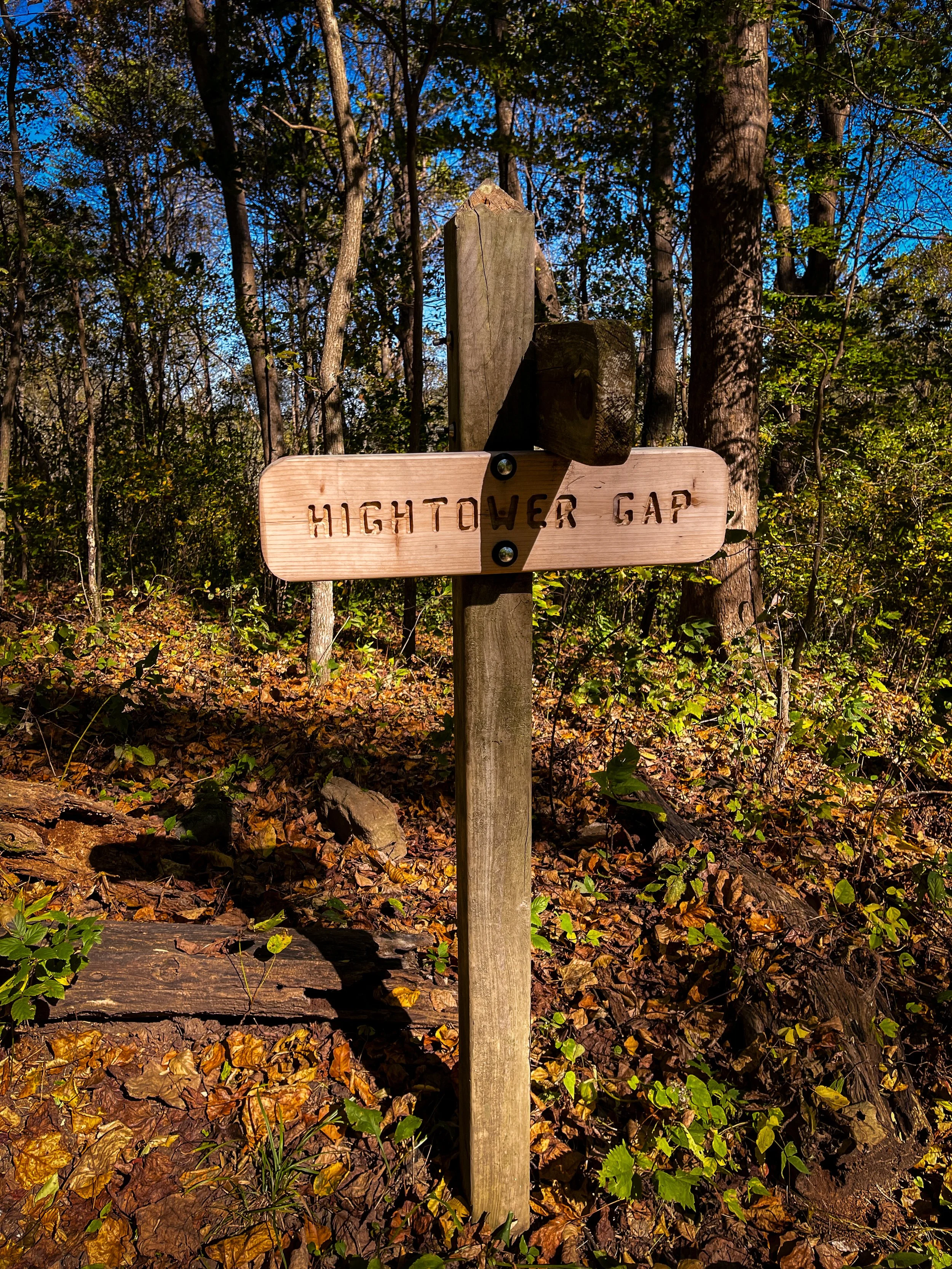
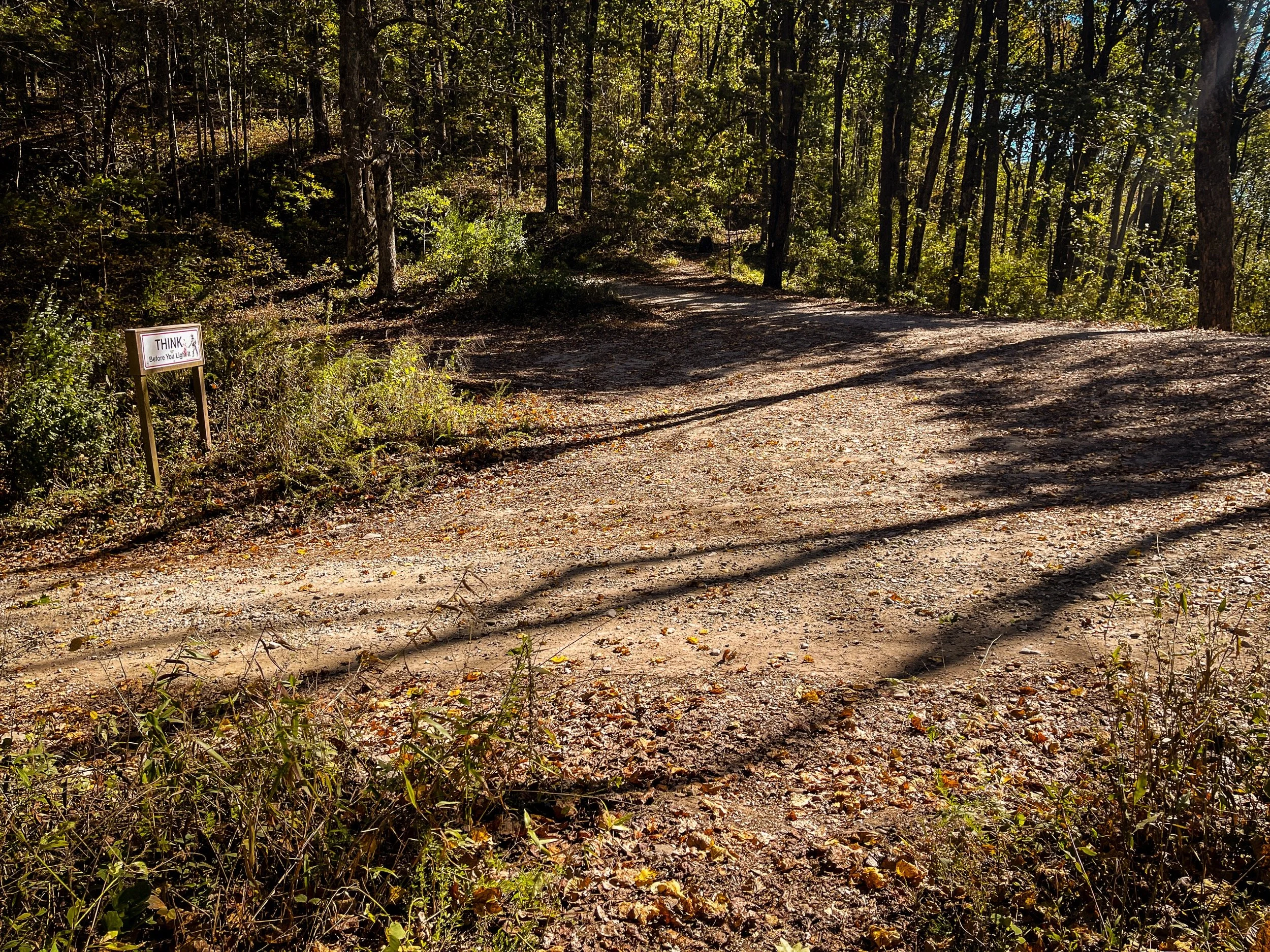
Mile 8.6 Hightower Gap/USFS 42 & 69: The trail crosses a gravel forest road junction here. Hightower Gap is accessible by car, so shuttles can pick up and drop off here, which makes it a good place to split this section into shorter day hikes.
Mile 8.6 - Mile 12.2: Hightower Gap → Cooper Gap
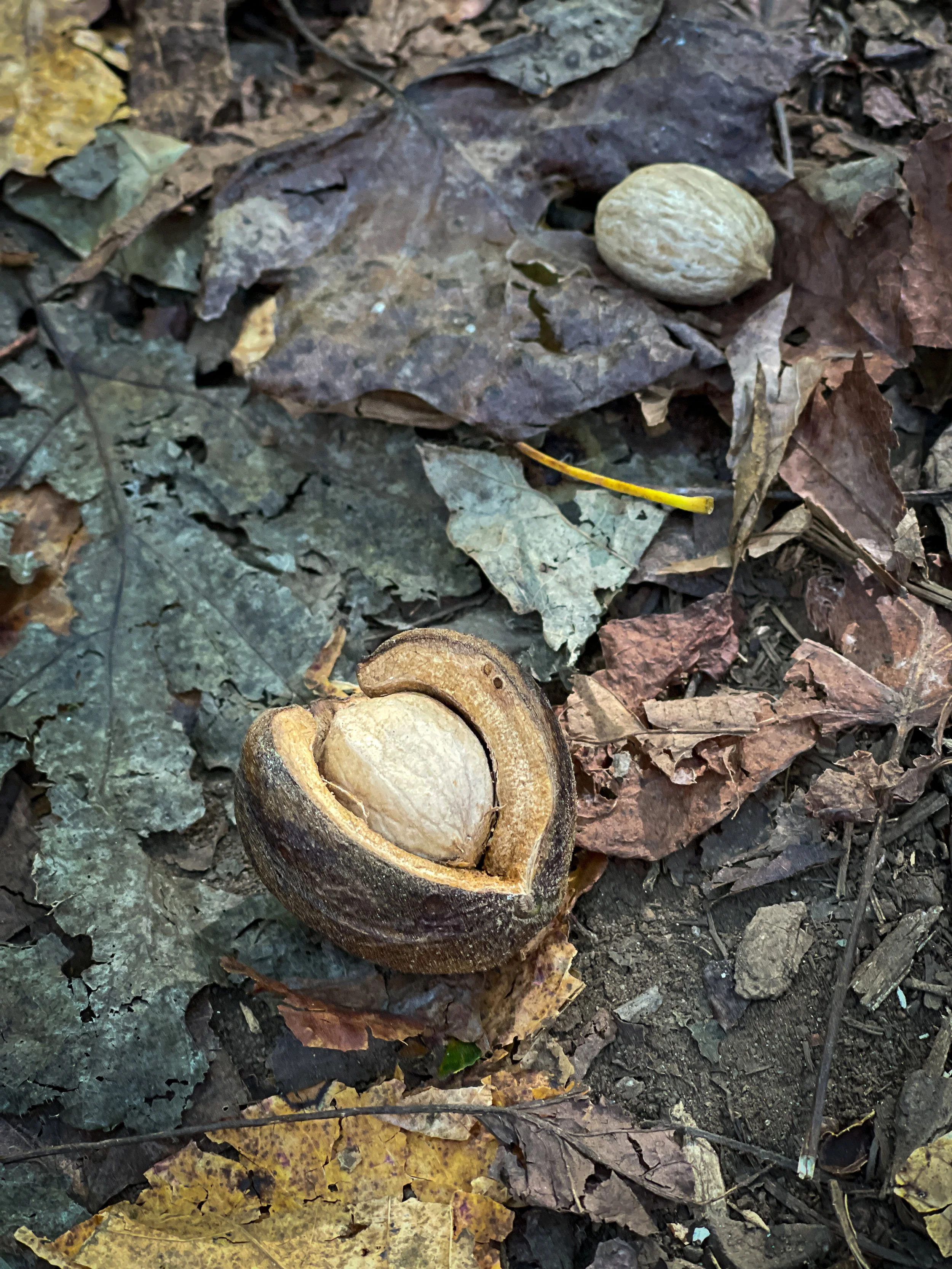
Soon after Hightower Gap, we found walnuts scattered on the trail, a sure sign of fall.
Mile 10.5 Horse Gap: Another forest road access point, with wooden posts lining a wide, open area by the trail.
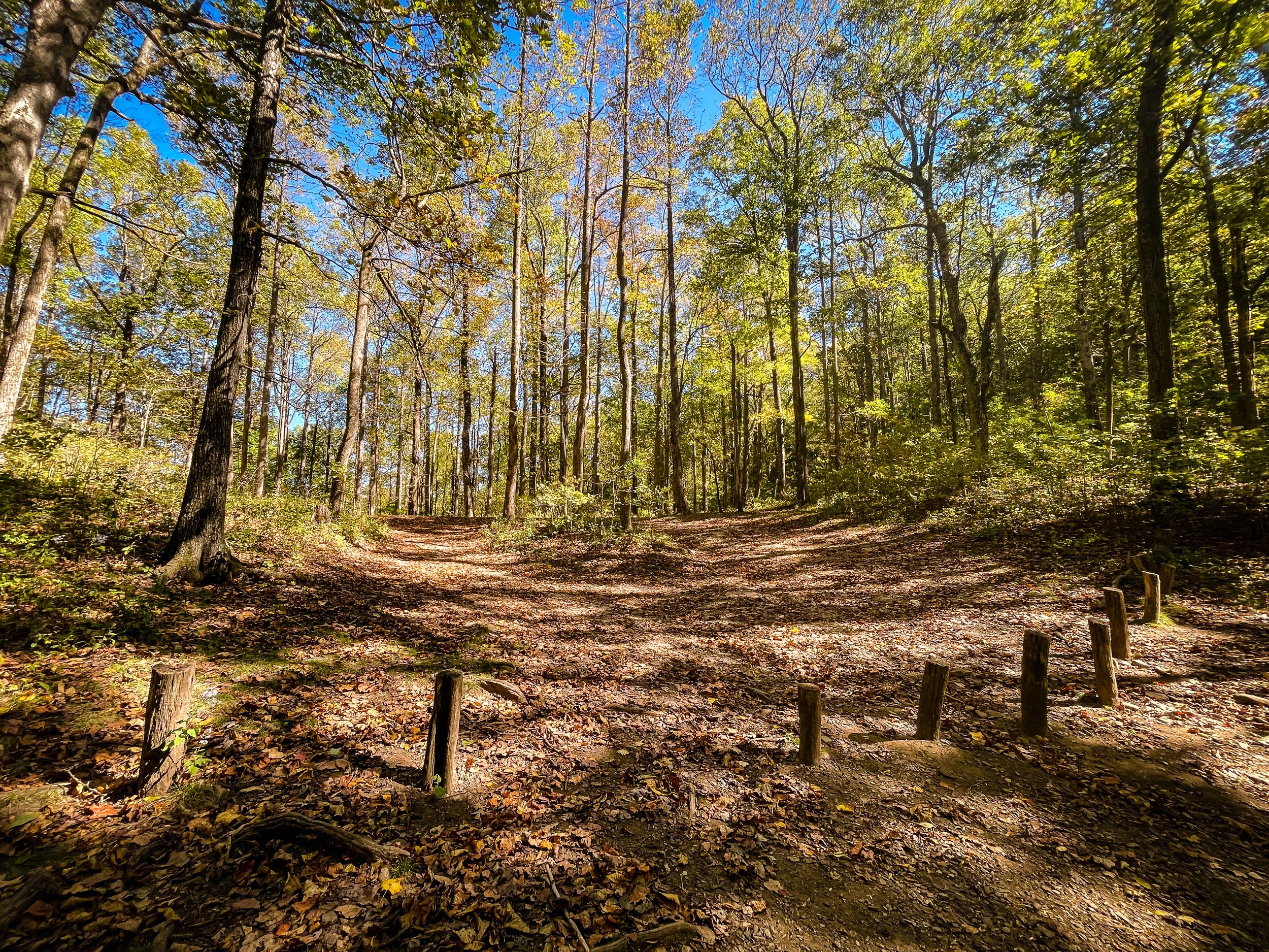
Mile 11.5 Sassafras Mountain: This is the big climb of the day between Horse Gap and Cooper Gap. It took us about an hour.
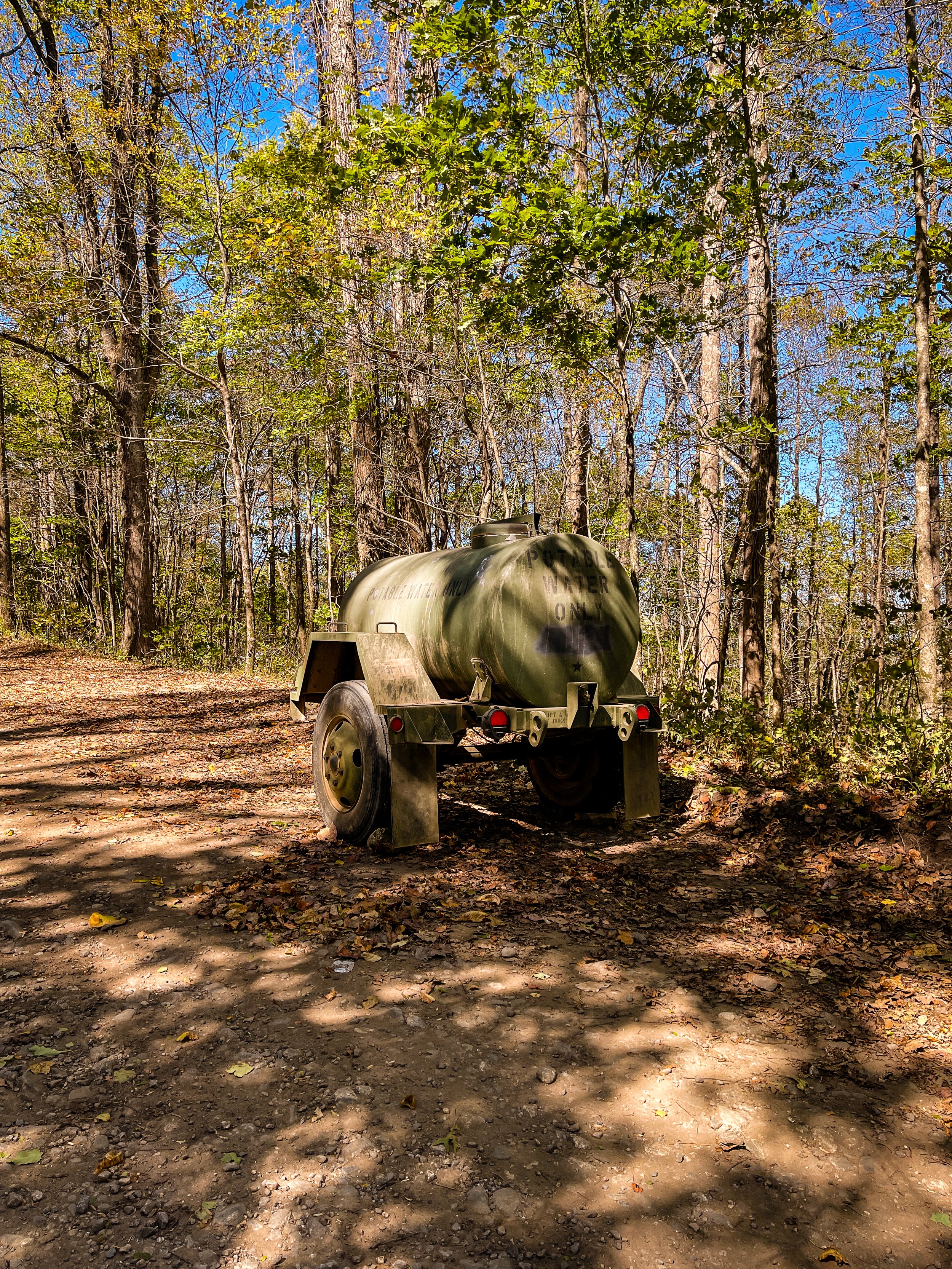
Mile 12.2 Cooper Gap/USFS 42 & 80: A wide junction of gravel forest roads, with a bench by the road. We were surprised to see an army-green trailer marked “Potable Water Only” parked by the road. Later we learned that the U.S. Army Ranger training camp, Camp Frank D. Merrill, is in this area.
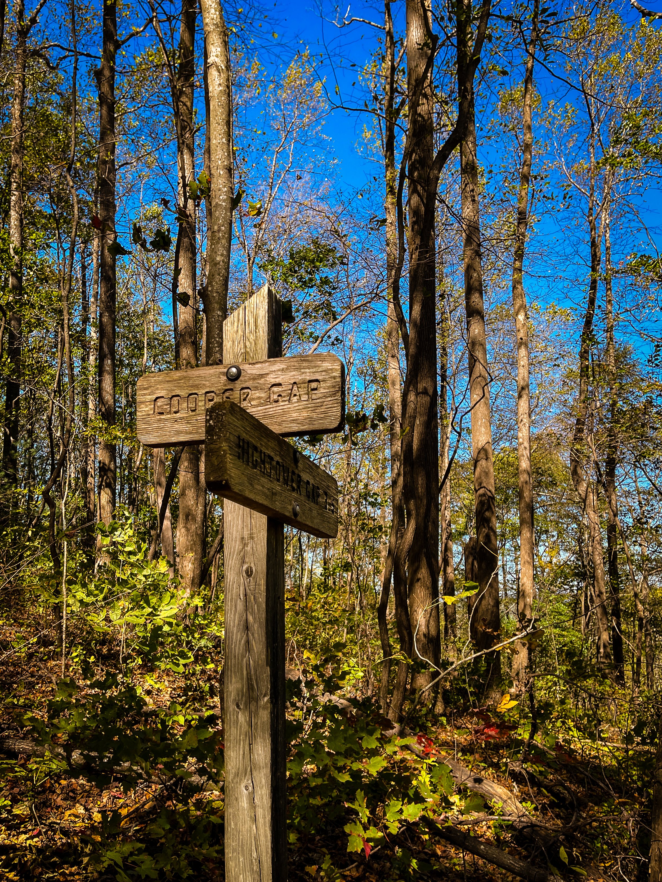
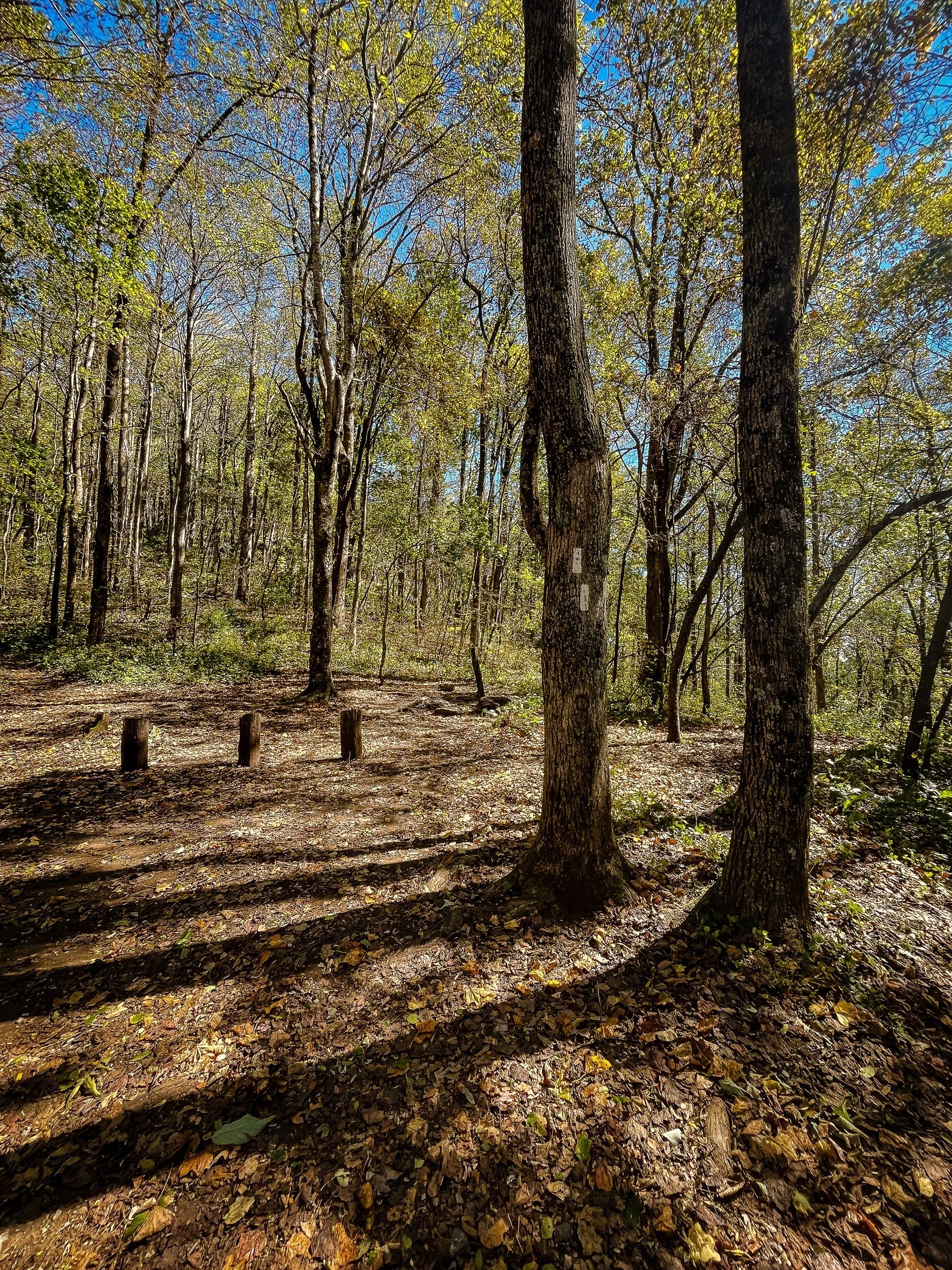


Mile 12.2 - Mile 16.9: Cooper Gap - Gooch Gap
Mile 12.8 Justus Mountain
Mile 14.3 Justus Creek Tentpads: The trail descends to Justus Creek. A sign points to camping on the north side of the creek. We crossed the creek on the rocks.

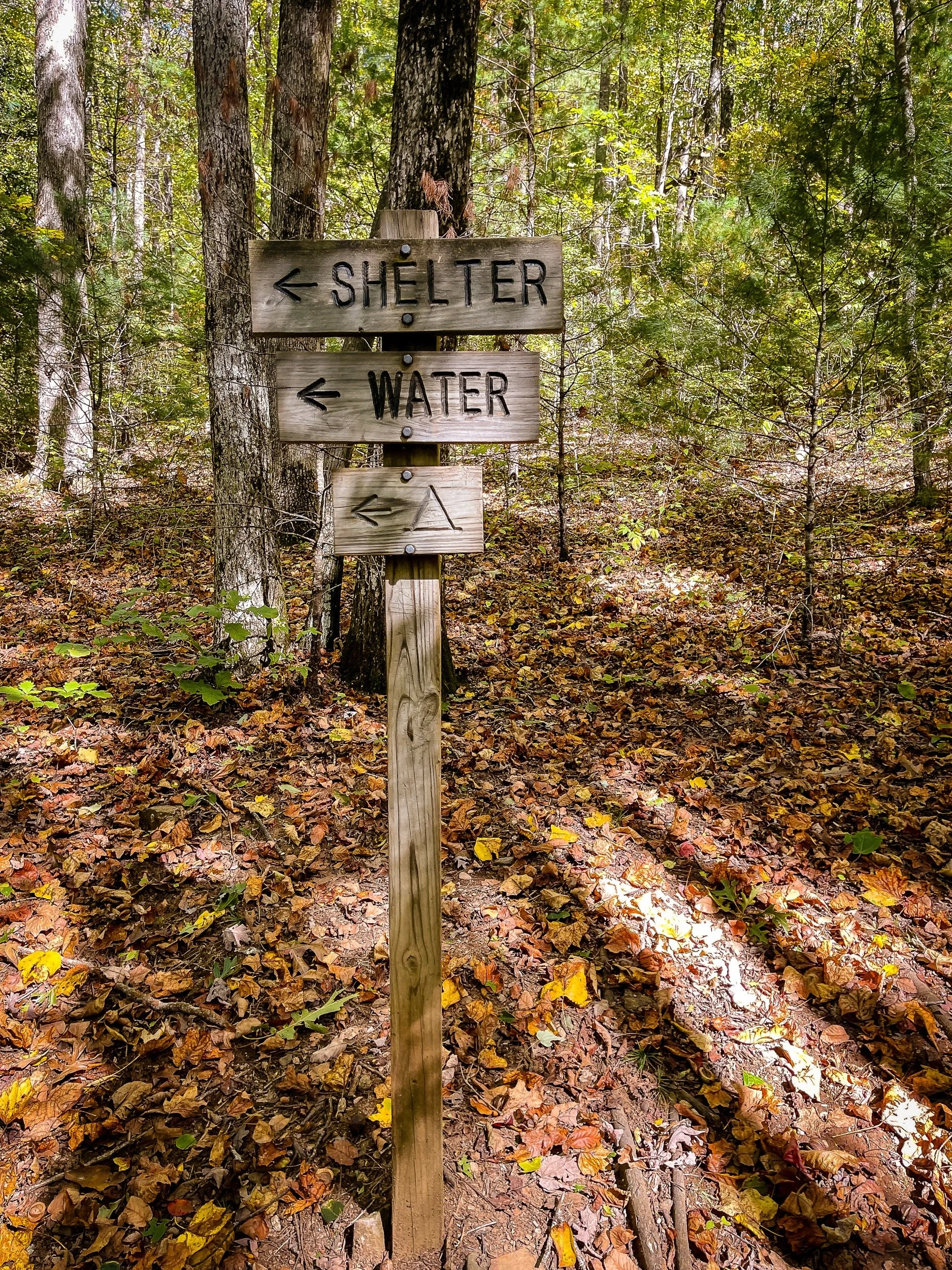
Mile 15.8 Gooch Mountain Shelter: Signs point left to the shelter, water, and tent sites.
Mile 16.9 Gooch Gap/USFS 42: We reached Gooch Gap a little after 3PM, about 5.5 hours after leaving Three Forks. The trail crosses the unpaved Forest Service Road 42 here.