Day 13 [North Carolina: Mile 150.7 - Mile 166.2] Stecoah Gap -> Fontana Hilton Shelter
Date: October 12, 2026 (Monday)
Total Distance: 15.5 miles on AT
The second day of our section hike took us from Stecoah Gap over Yellow Creek Mountain and down to Fontana Lake. After the fog and wind of the day before, we finally got blue skies and big views.
Mile 150.7 Stecoah Gap/NC 143
Craig, the owner of Cabins in the Woods, picked us up at the cabin around 6:50 am, and we rode together with a southbound thru-hiker to Stecoah Gap, where we had left off. Then the thru-hiker and we split and went in different directions on the AT. It was still dark, so we had our headlamps on for another 30 minutes on the trail before it lightened up a bit.
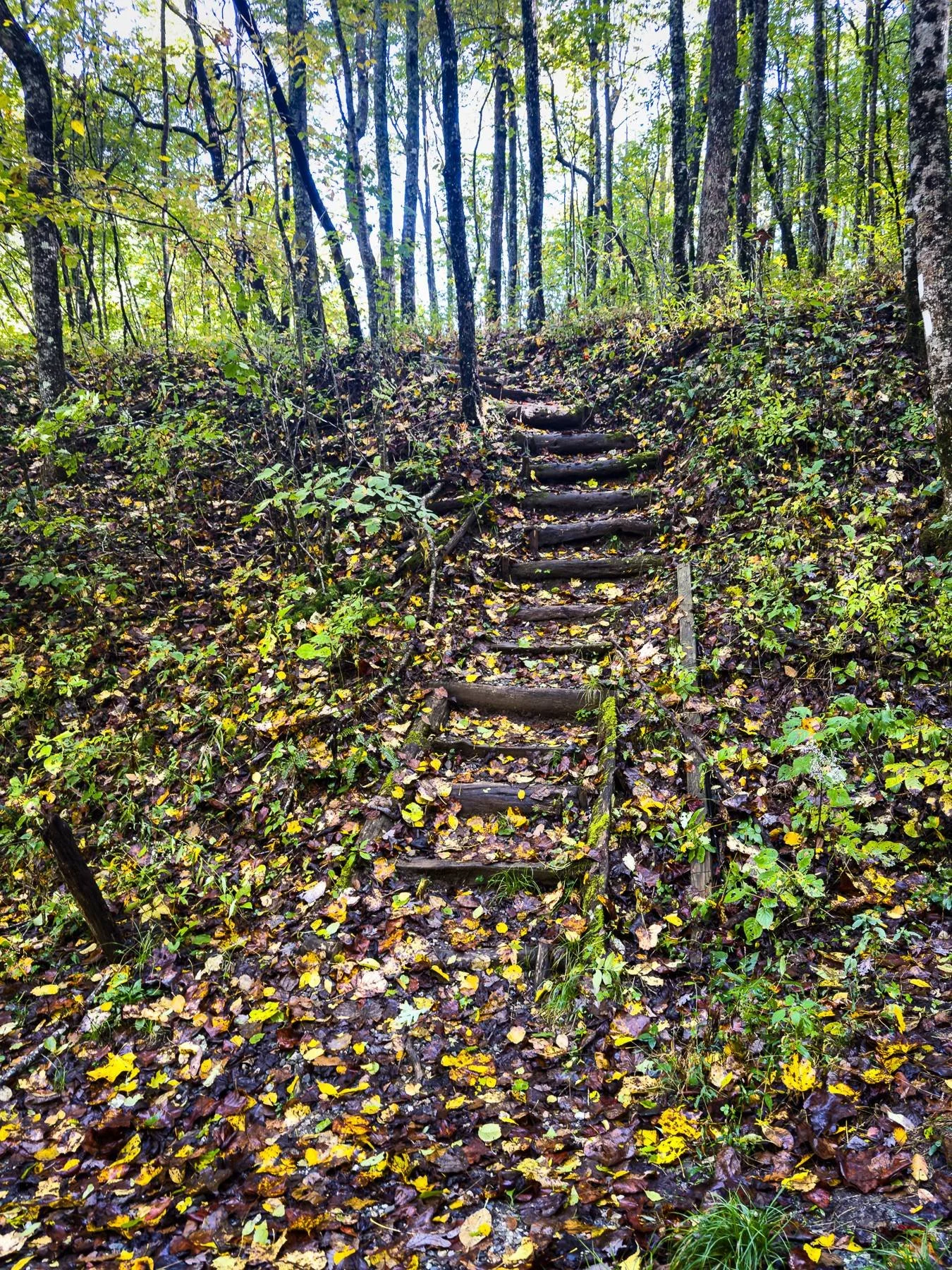
We climbed the small hill before Sweetwater Gap, then began the steep part of Jacob's Ladder, about 600-650 ft in 0.5 mile.
Mile 151.7 Sweetwater Gap
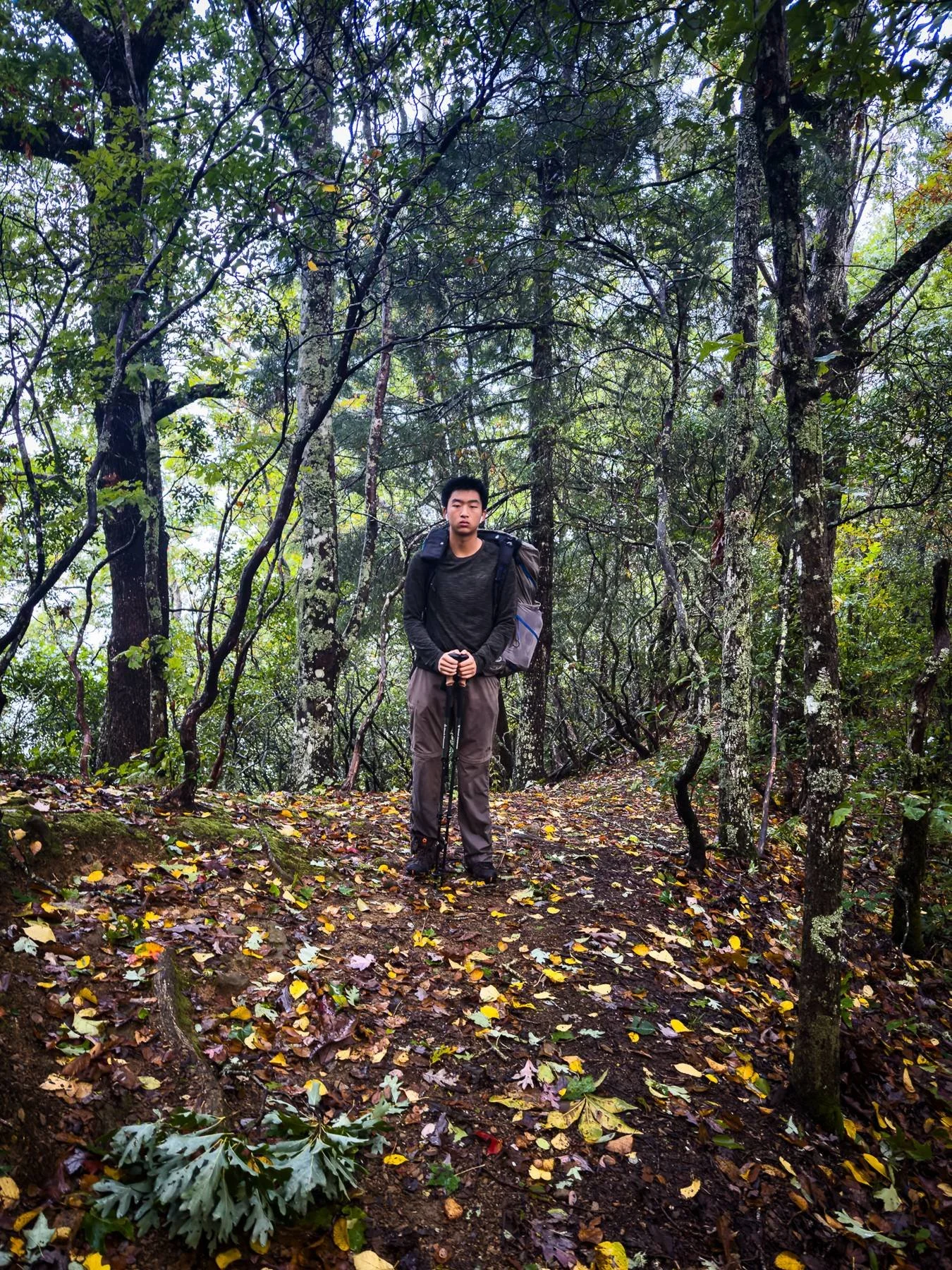
We expected this to be a steep climb, but the actual experience was not as bad as we thought it would be.
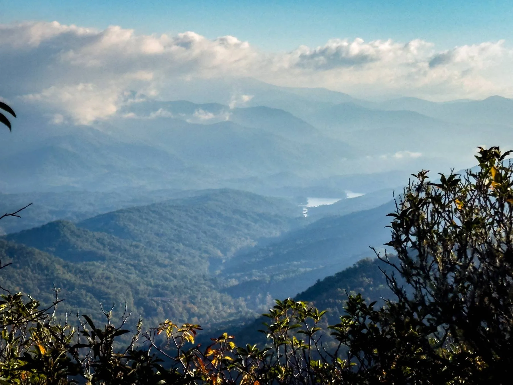
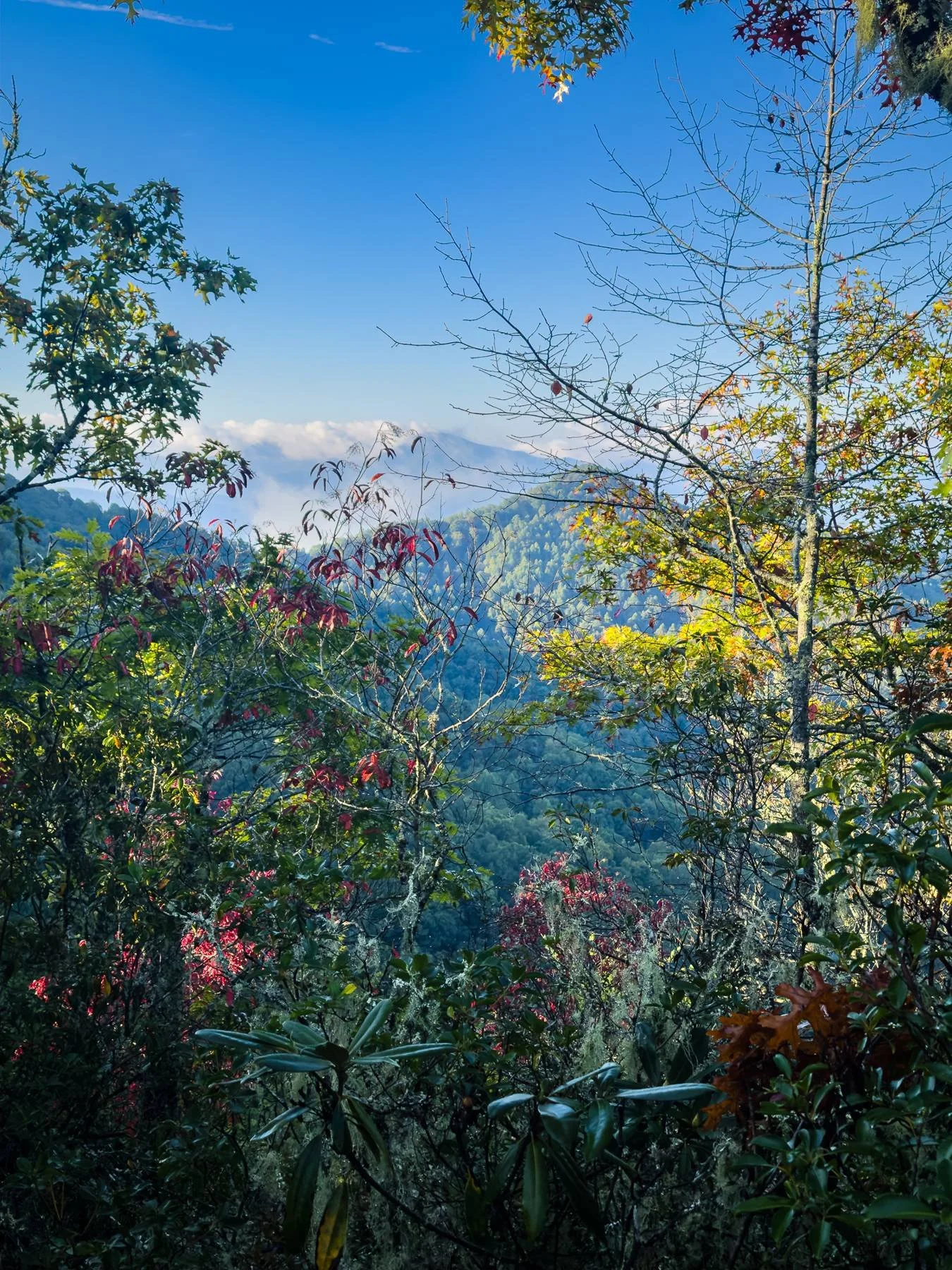
The trail passes cliffs 15 yards to the west, with excellent views of the Snowbird Mountains and the surrounding Nantahala National Forest. This was pretty much the only view we had before Fontana Dam because of the thick woods.
Mile 155.3 Hogback Gap
Northbound, the trail bears east and continues around the side of Wauchecha Bald.
Mile 156.1 Cody Gap
The trail crosses a knob with a view of Cheoah Bald to the east.
Mile 158.5 Yellow Creek Gap/NC 1242
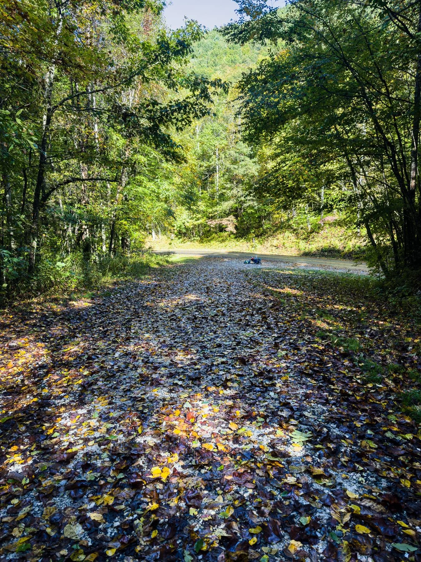
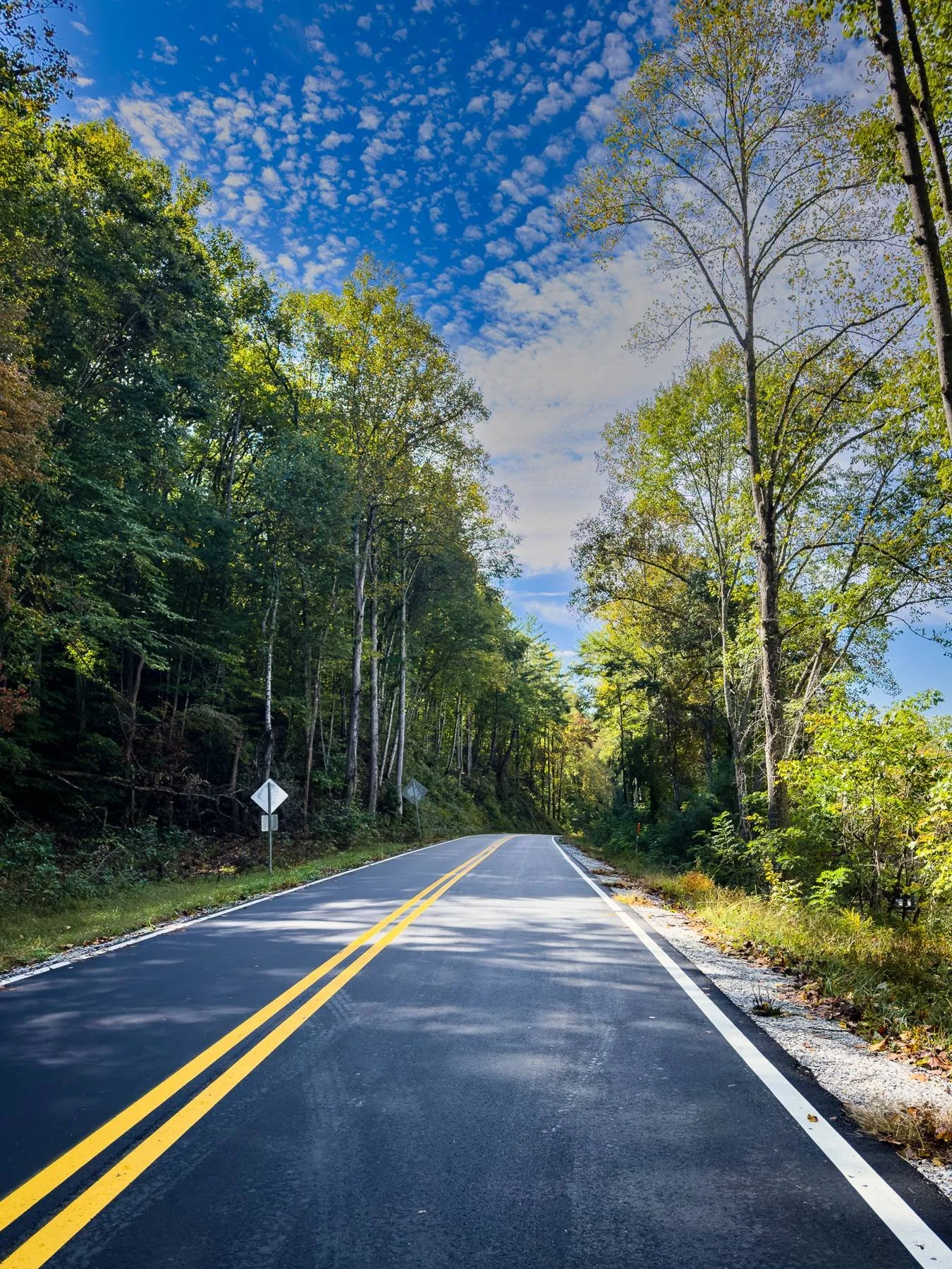
The AT crosses the paved two-lane road (one lane in each direction) and continues on the other side. We met a father and son waiting to be picked up on the side of the road. There are no services or amenities at the road crossing, but there is parking.
Lodging nearby: Creekside Paradise B&B, 259 Upper Cove Rd, Robbinsville, (828) 346-1076 (no texts), 2.2 miles west, with pickup and drop-off at the gap.
Mile 159.4 Cable Gap Shelter
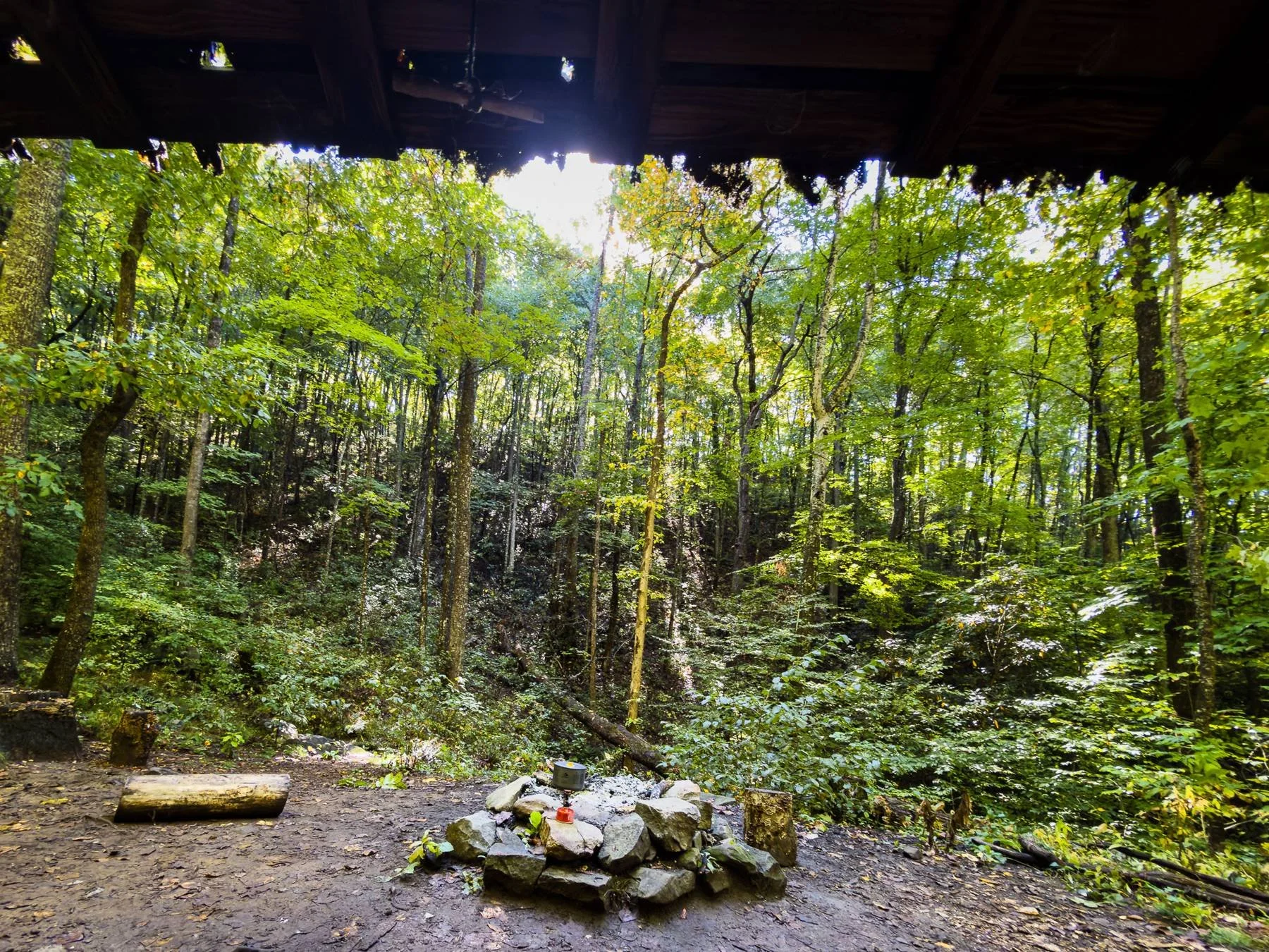
This is not a big shelter: just one floor, no bench, with a small creek crossing in front of the shelter. We stopped, cooked, and ate our lunch here, and met a couple from Florida. They were also section hikers, but they typically do 4-5 day sections.
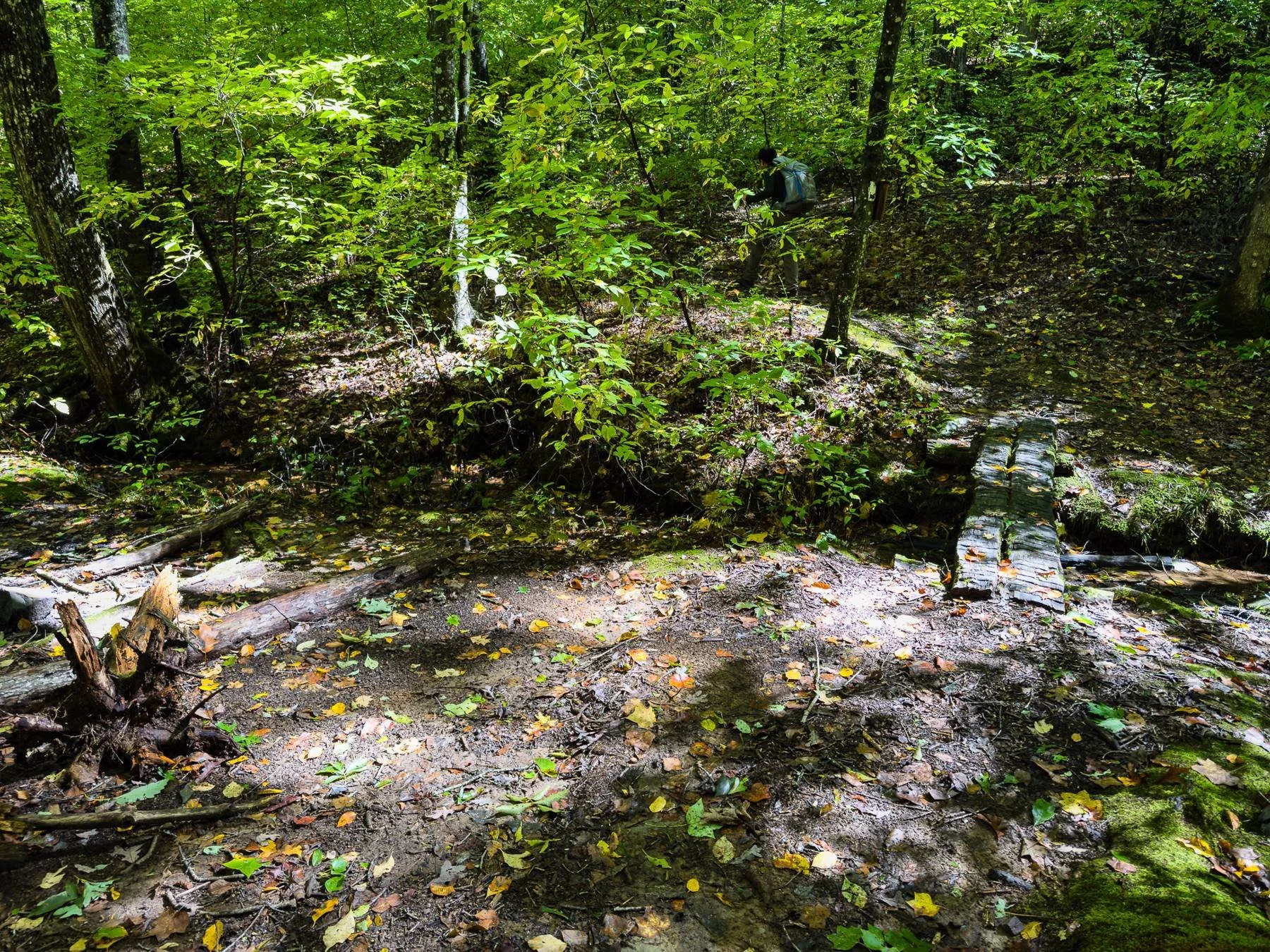
Mile 160.8 Black Gum Gap
The trail skirts High Top, the highest point on Yellow Creek Mountain, on its west side. Northbound, it continues along the ridgecrest, with Fontana Lake visible to the east.
Mile 162.2 Walker Gap
Walker Gap is on the crest of Yellow Creek Mountain. Northbound, the trail crosses the high point of the ridgecrest and follows it, then begins the long, roughly 1,740 ft descent to NC 28 and Fontana Lake.

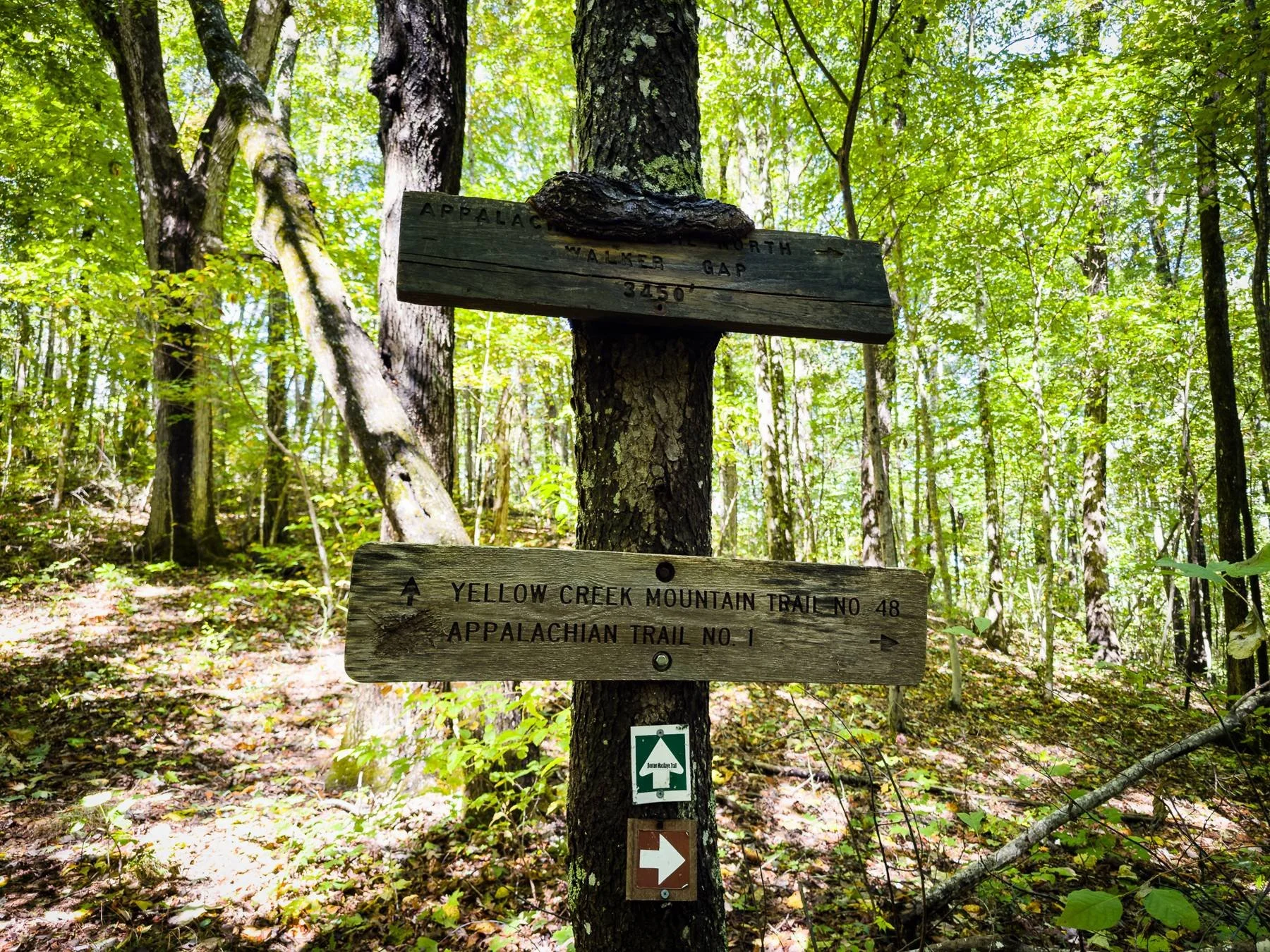
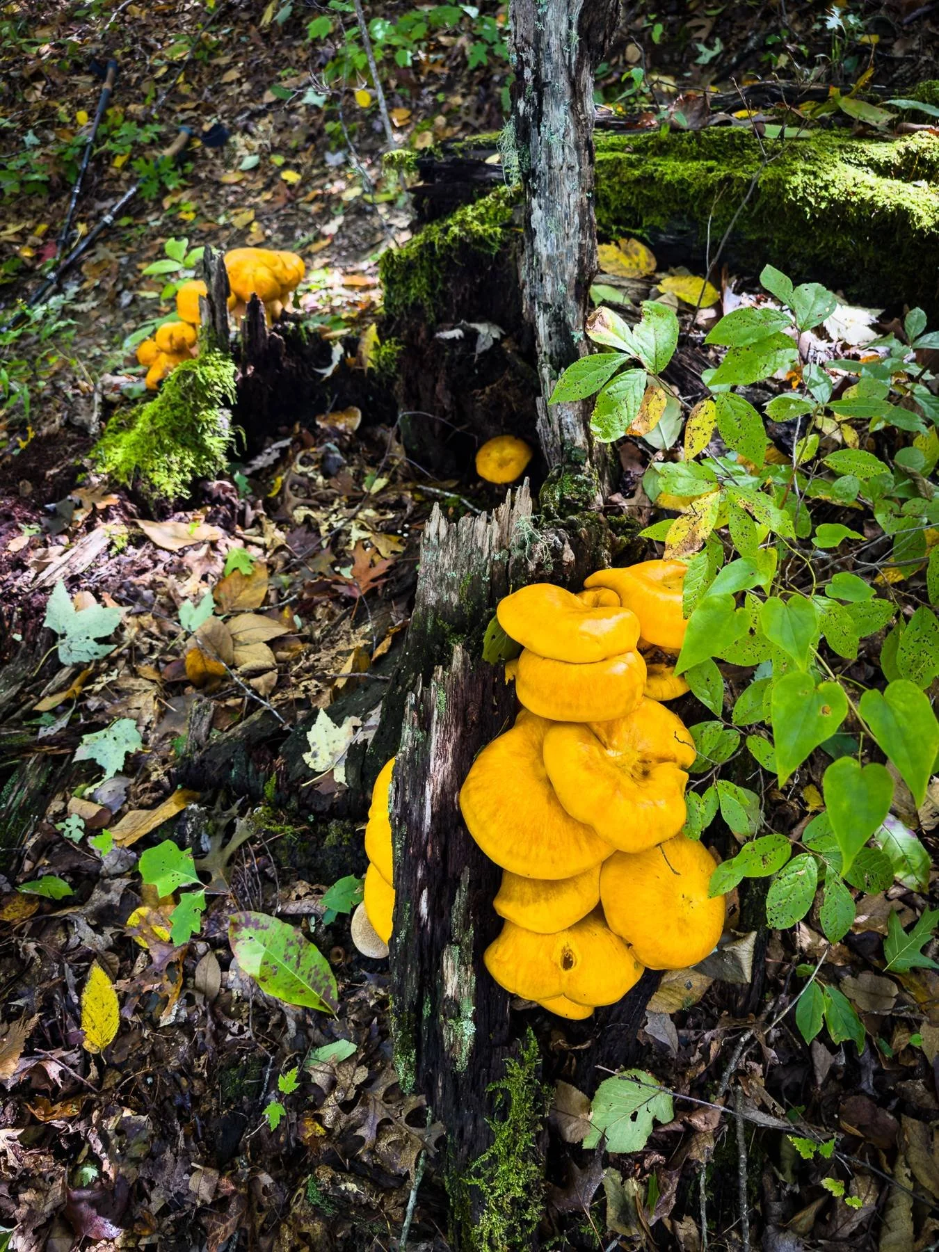
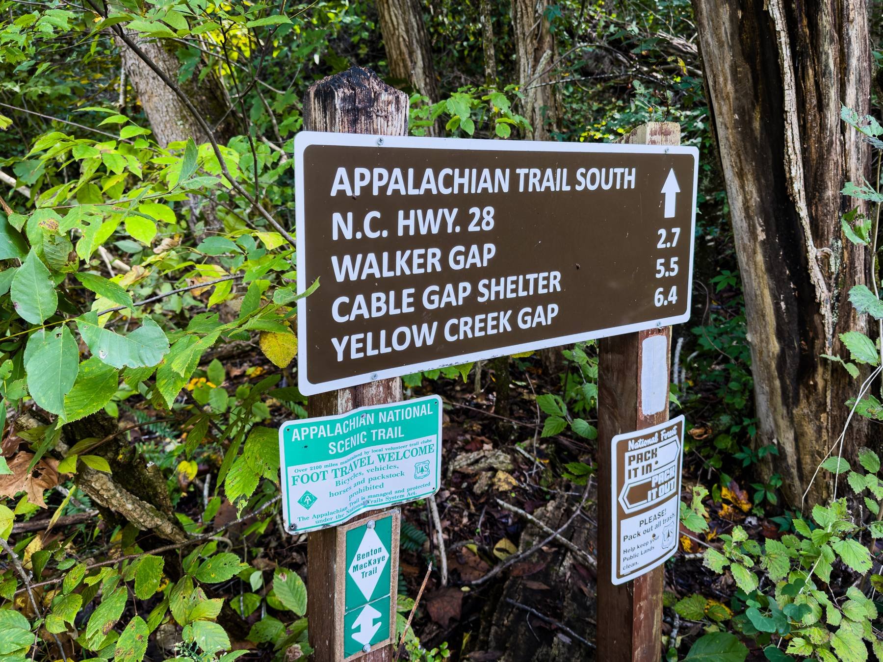
Mile 164.9 NC 28
Northbound, the trail descends stone steps and turns right down a grassy slope to Fontana Lake Marina, passing a concrete comfort station on the right and the boat docks in the valley of the Little Tennessee River.
Lodging and resupply nearby:
East 6 miles: the Hike Inn, 3204 Fontana Rd, (828) 479-3677. Call ahead to confirm location and season.
West 2 miles to Fontana Dam, NC: Fontana Lodge (Fontana Village, 300 Woods Rd, (800) 849-2258, fontanavillage.com), Fontana General Store, The Pit Stop, and shuttles.

Mile 166.2 Fontana Hilton Shelter
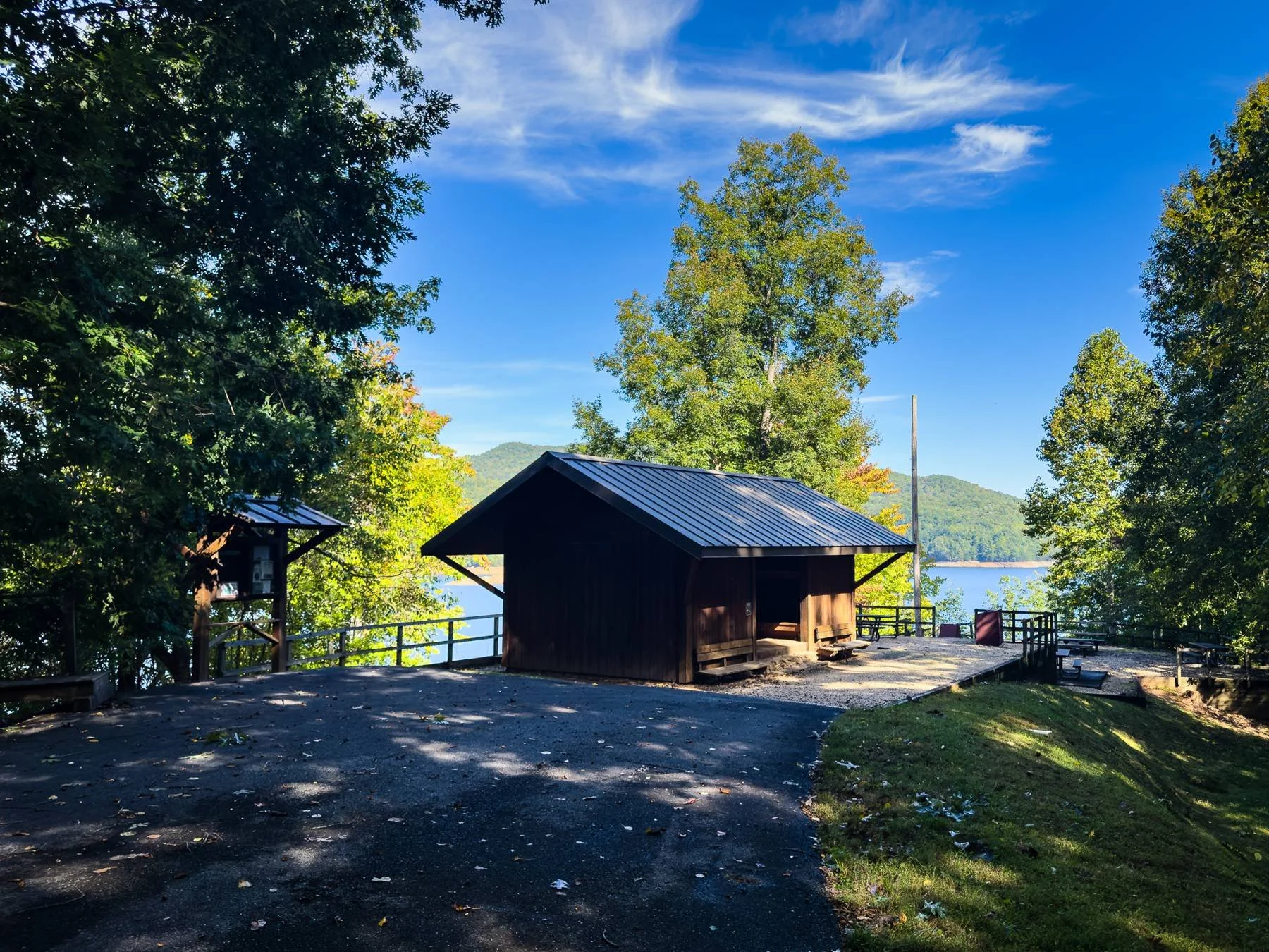
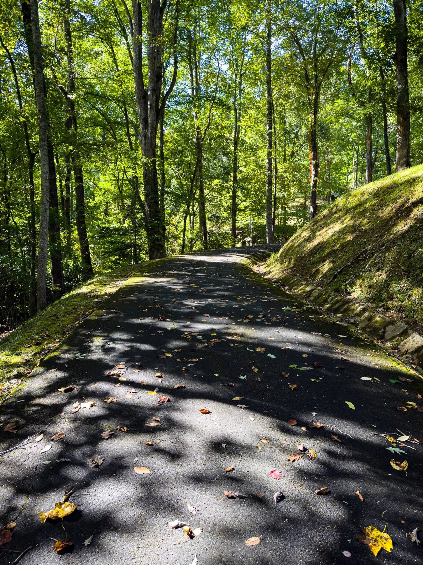
This is the nicest shelter we have ever seen. It is very well built, with bunk beds on each side and a nice view of the lake from inside. There is a separate restroom uphill on a paved road, with water, showers, and USB chargers.
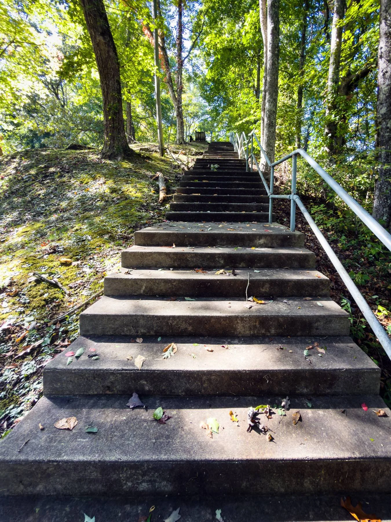
Continuing on from the restroom, at the top of the concrete stairs is a picnic area. Then we came to a roundabout with parking spaces and met Craig, who shuttled us back to NOC for a reasonable fee.
Although we were only steps away from the visitor center, we were too tired and did not want Craig to wait longer, so we saved Fontana Dam and the visitor center for our next Great Smoky Mountains hike.
Next time: Mile 166.6 Fontana Dam Visitor Center
At 480 feet, Fontana Dam is the highest dam in the eastern US. It was built from 1942 to 1944 to supply power for wartime industry, including Alcoa and the Manhattan Project at Oak Ridge. Overnight parking is available, and a parking overlook has a spectacular view of the dam and powerhouse. Northbound, the AT follows a paved road along the northern shore of Fontana Lake.